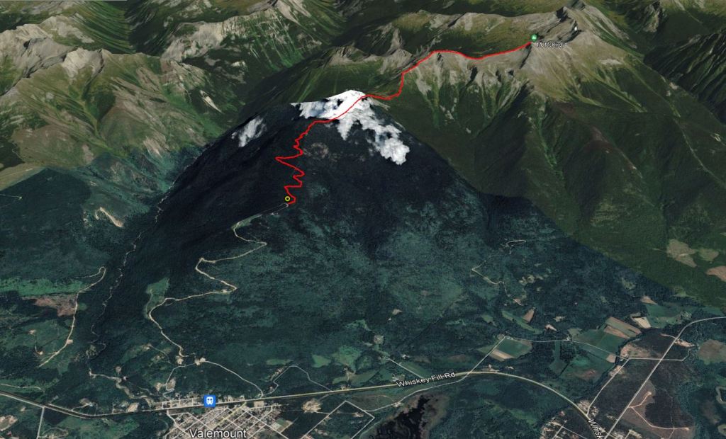
Despite smoky conditions caused by wildfires to the North this was my favourite trip in the Valemount area. With good route-finding skills the scrambling is only slightly above Easy difficulty. I passed a few other parties hiking up to the start of the ridge, but the scrambly bits were less busy.
The trail begins far up the mountain behind the Valemount’n Bike Park. The gravel road is in good condition and should present no problems for an average 2WD vehicle. Keep to posted speed limits and be sure to watch out for the many mountain bikers. The trailhead has signage for McKirdy Meadows and enough parking for roughly ten vehicles.
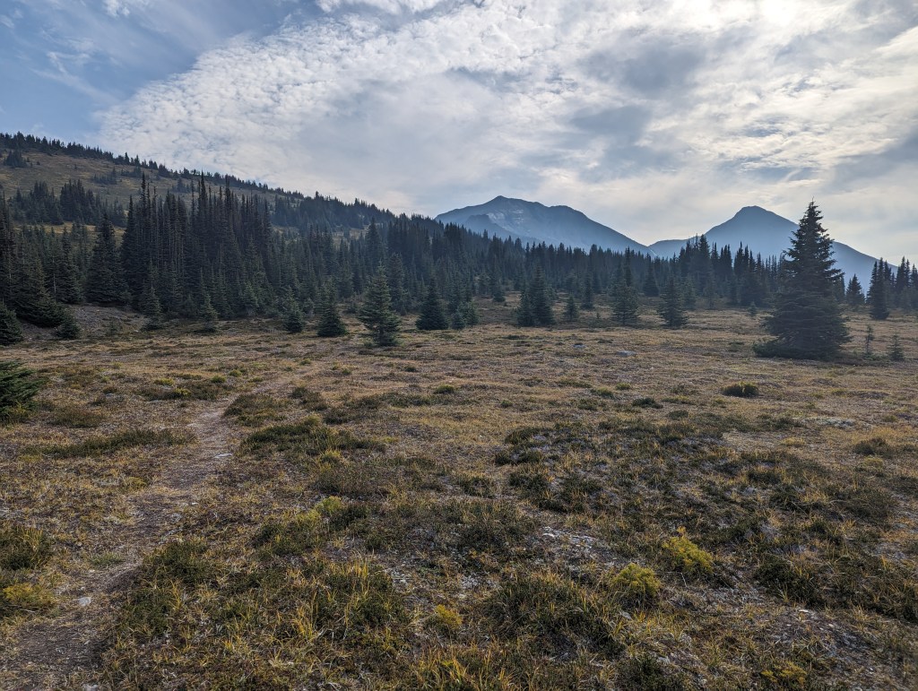
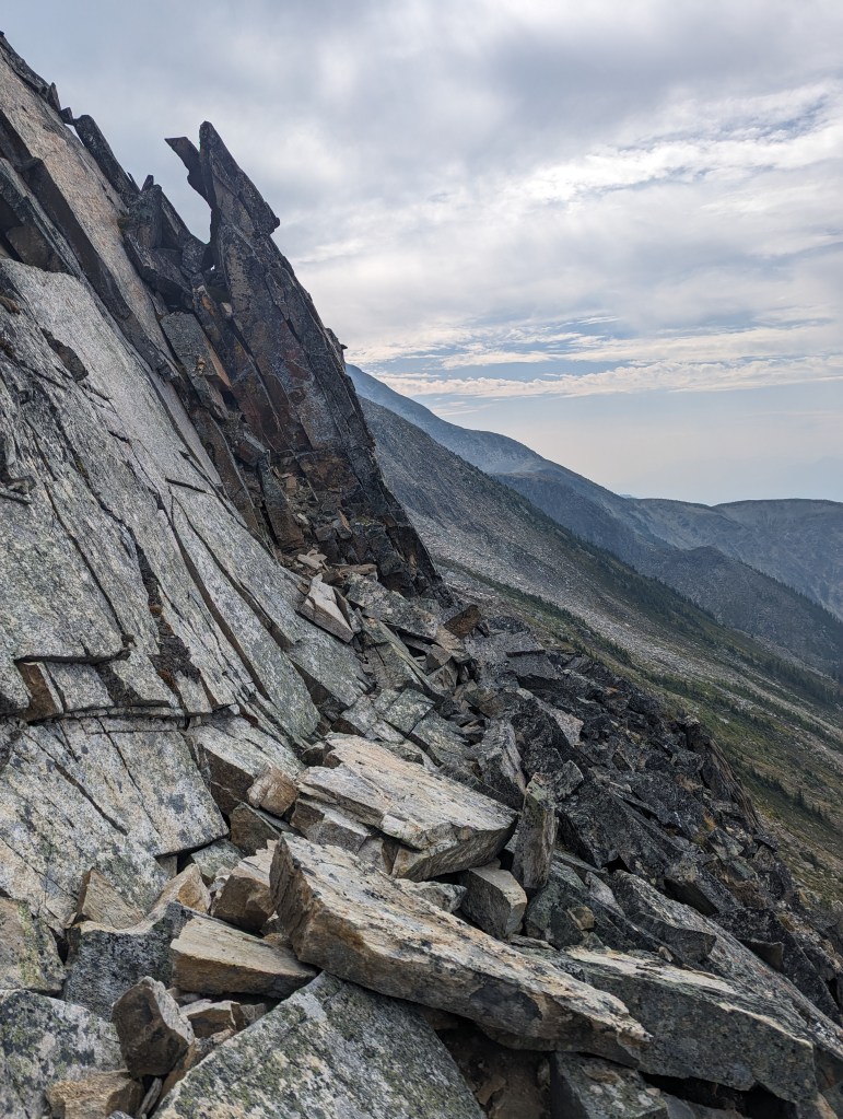
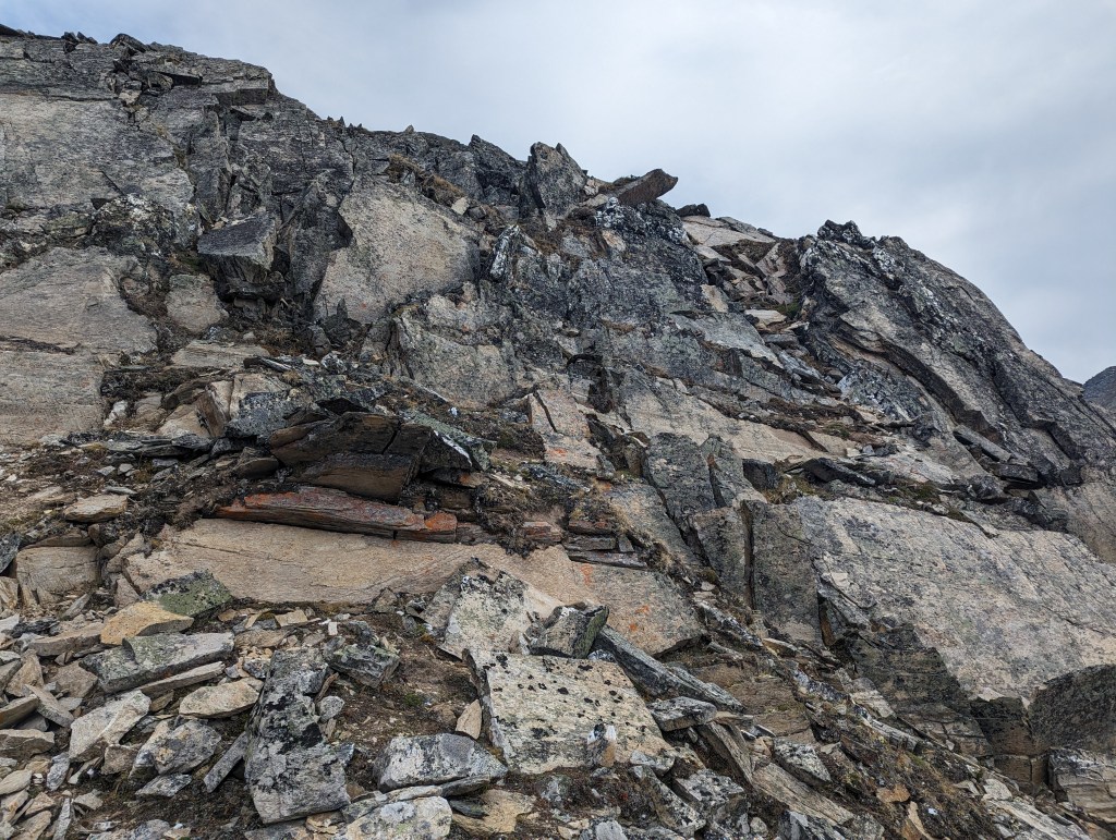
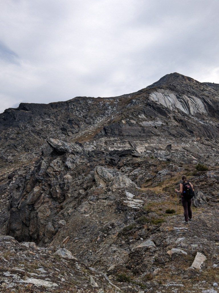
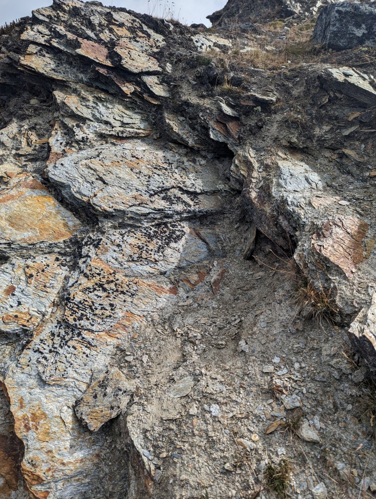
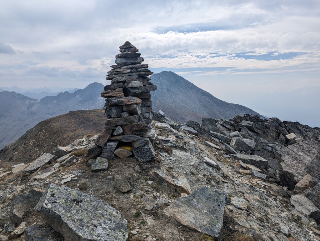
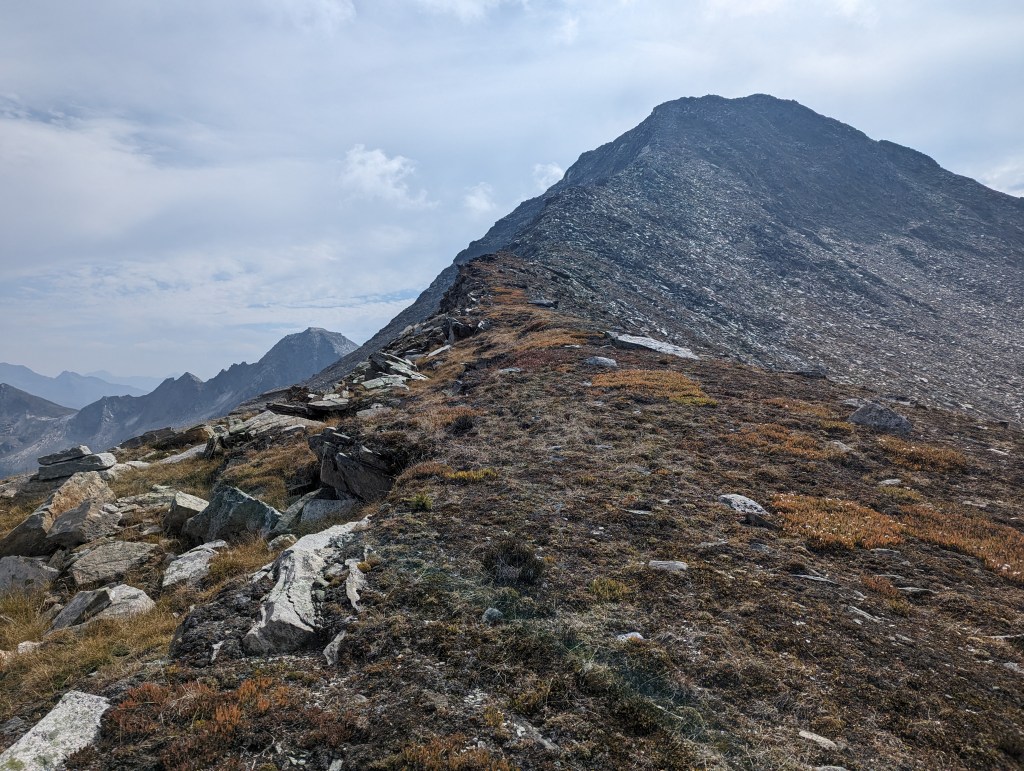
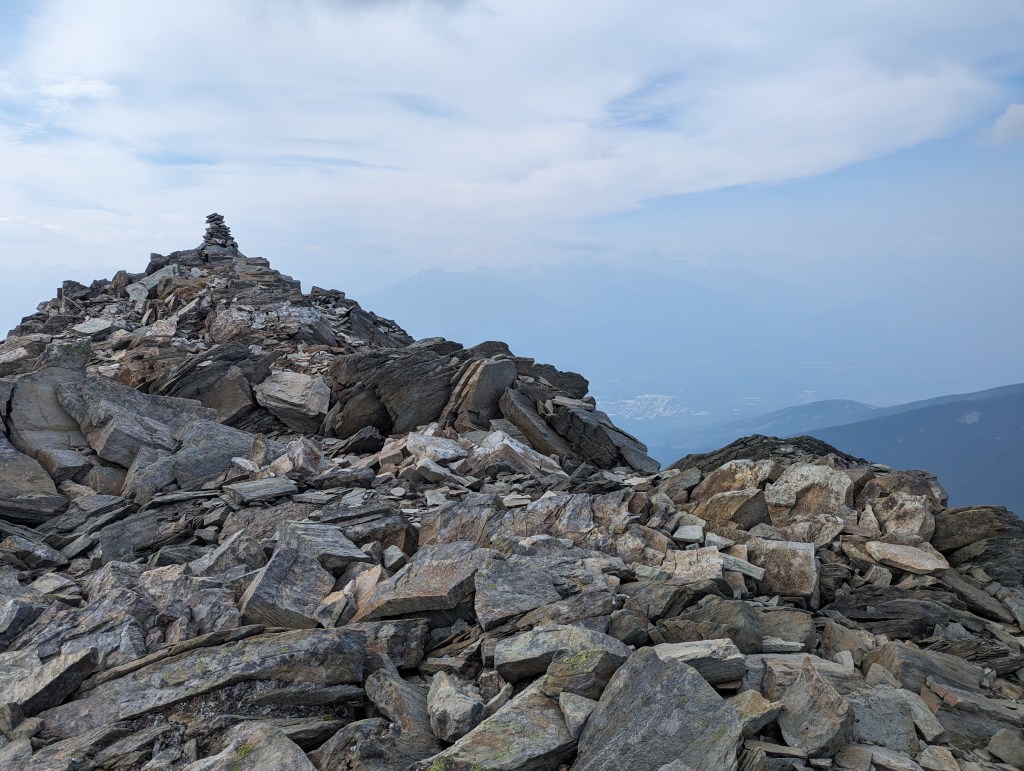
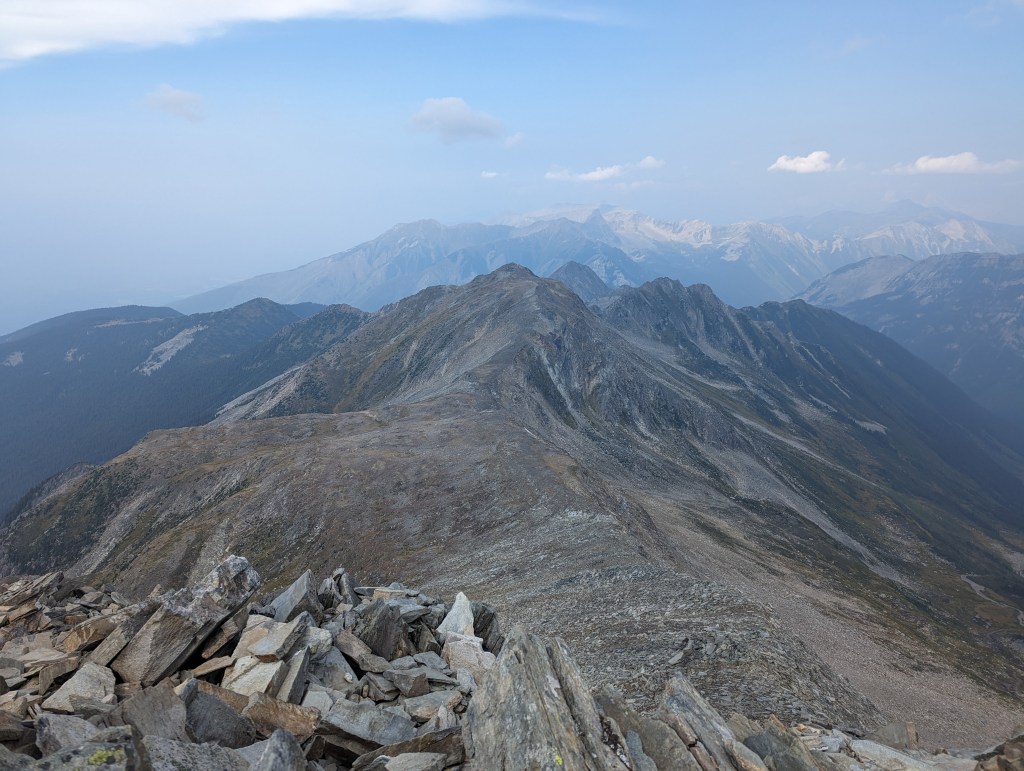
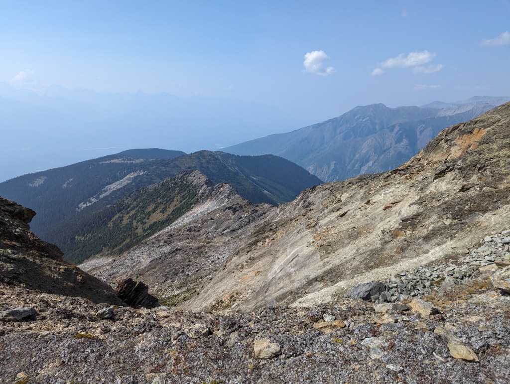
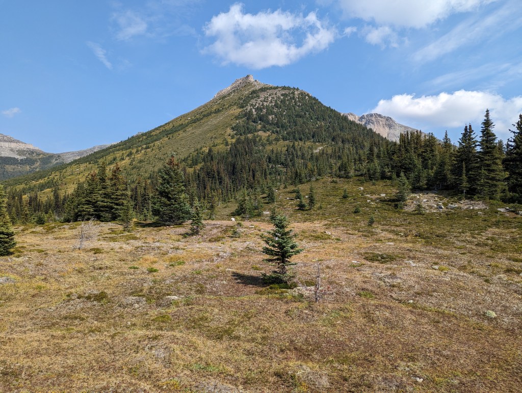
The day begins with easy travel along a good trail. This ptarmigan paused for the photo op.The forest soon opens up into meadow, offering the first views of Carson’s Peak (Center) and Mount McKirdy (Right).After a small elevation loss/gain, the meadow is left behind and a fun ridge walk to Carson’s Peak begins.The ridge up to Carson’s Peak is the most enjoyable scrambling of the day. Tricky spots can typically be bypassed to the right. Strong route-finding skills are an asset here.An example of a formidable section which was easily traversed to the right.This deceptively fierce wall can be easily gained by zig-zagging up the staircase-like rock face (Center-left).Finally nearing the summit of Carson’s Peak.Much of the mountain is comprised of mica. Even the soil is crushed shimmering sand, resembling fairy dust.The summit of Carson’s Peak boasts a lofty cairn with summit register. Mount McKirdy can be seen in the background.Beginning on to Mount McKirdy.From Carson’s Peak travel to Mount McKirdy is relatively easy. The peak is reached in only half an hour.The final push to the summit – never more than easy scrambling up McKirdy.Reaching the summit of Mount McKirdy, looking North. Based on the summit register, this peak sees around a dozen parties a year. The square white “cloud” on the horizon is, in fact, Mount Robson!Hopping in for the view to the Southeast.Looking out over Valemont, to the West.Looking Northwest, back at the ascent route.Returning back to Carson’s Peak, looking back at the ridge walk.After completing the ridge walk and returning to the meadow, looking back up to the start of the ridge. The obvious high point is where most hikers seemed to turn back.Finally nearing the parking lot, pausing for one last break.
My total trip time was 8 hours. At an average pace, this is still faster than the estimate of 9-11 hours in the book. I would say the estimate looks a bit high.