There is now an easier, shorter route up Mount Terry Fox. Much time and love has gone into developing the new trail, making this one a must-do for hikers of all abilities while in Valemount. For those looking for a lower-impact day, the “big rock” offers a point of interest before the trees thin out and rockier terrain takes over.
The crux of the day is memorizing turns to navigate the logging road to the trailhead. The road is a bit bumpy with some steeper sections, but in fairly good condition. Still, I might wait for dry conditions if trying the road with 2WD. There is ample parking at the trailhead, and the trail itself is well graded with plenty of markers.
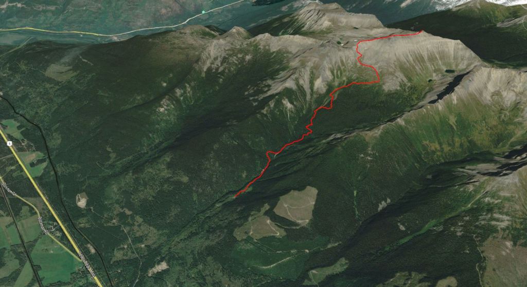
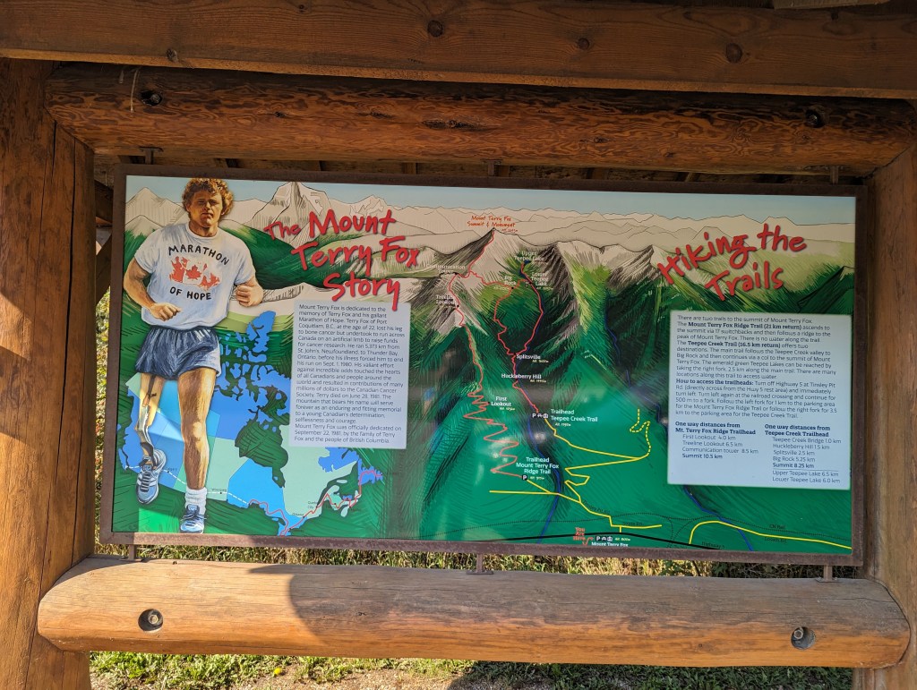
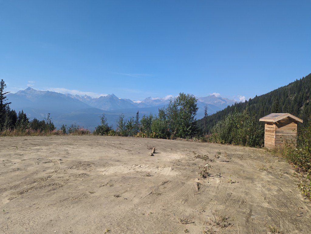
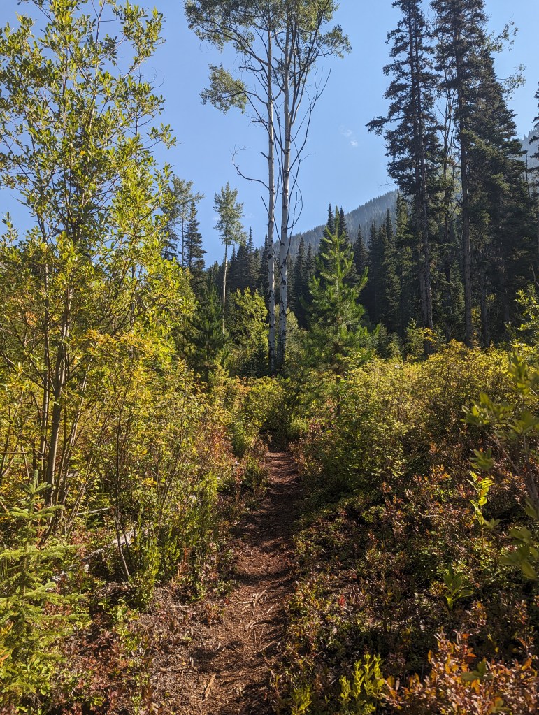
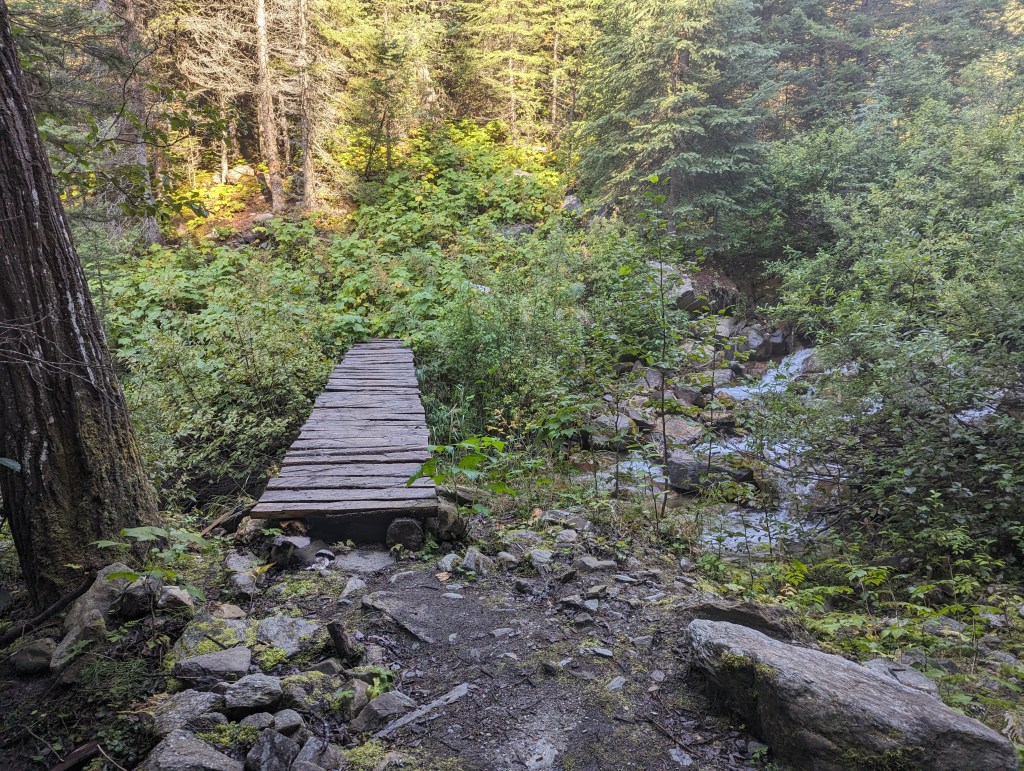
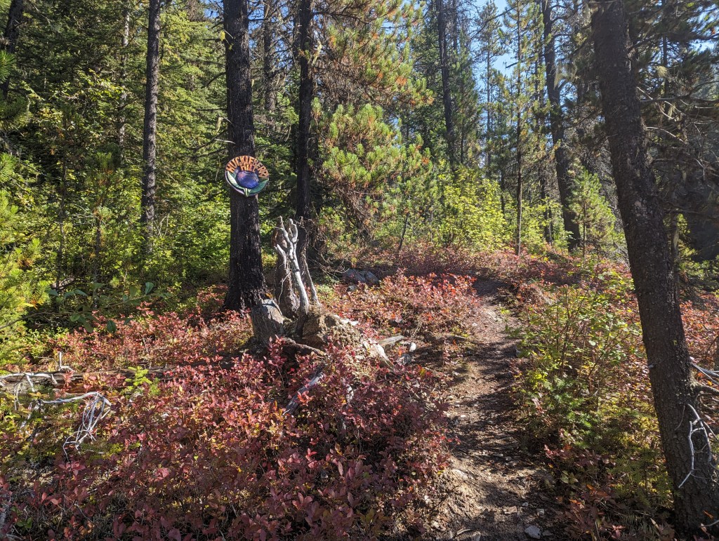
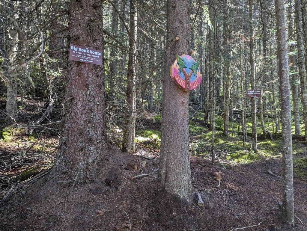
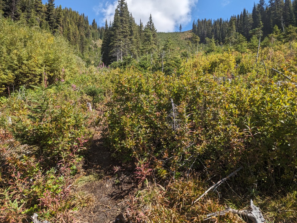
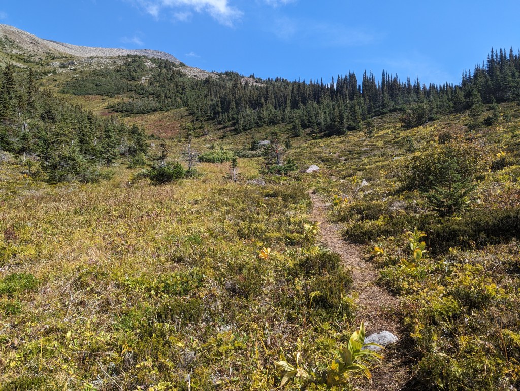
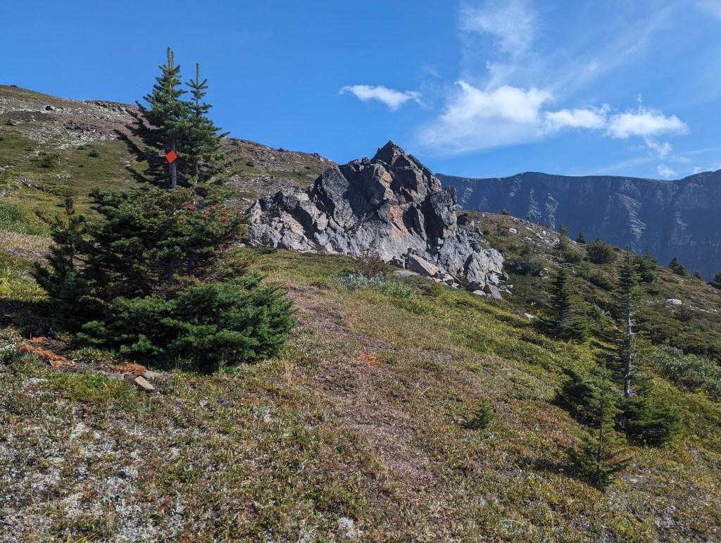
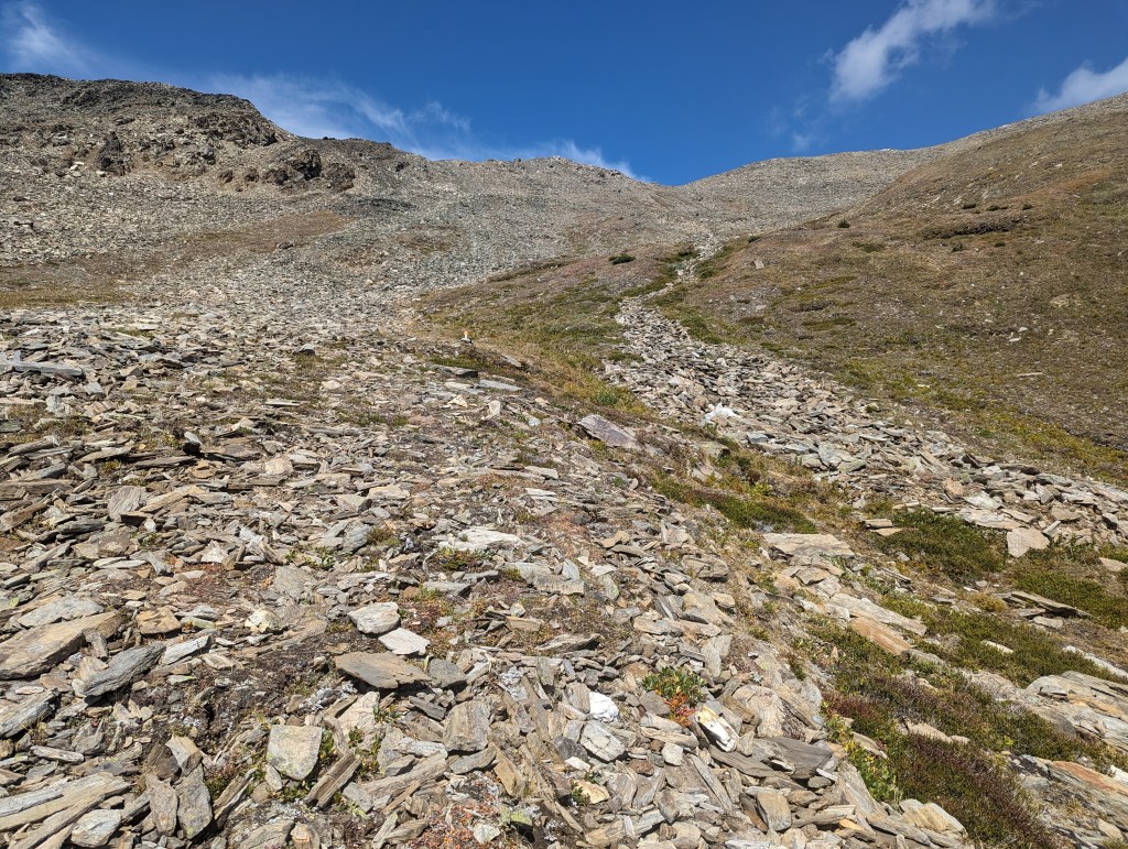
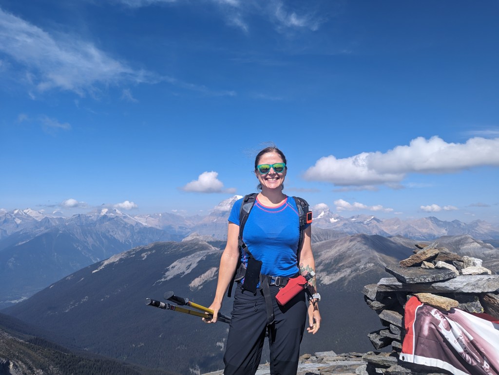
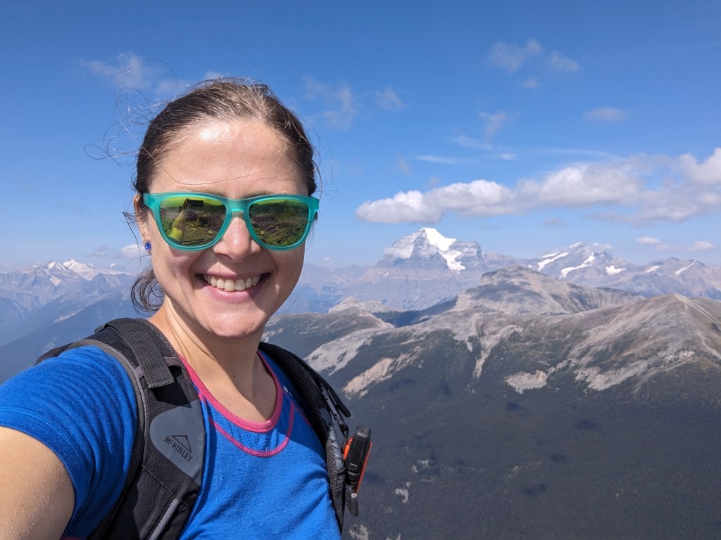
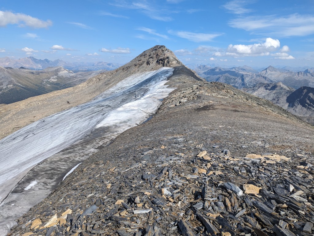
The rest stop across from the logging road has a large sign detailing the route (trailhead for Teepee Creek marked center). I memorized turns before heading in and found this sign to be more accurate than Google maps.The view from the parking lot itself is reason to drive up, more so if you are a collector of scenic privy photos.The trail starts out through a cut block (Harvested in 2011 and replanted in 2013, a sign boasts).The stream crossings have good bridges.Adorable signs adorn the route.The turn-off for the summit and the “big rock” is well marked.A few avalanche paths are crossed on the way up.The trail passes through alpine meadows before beginning the ascent to the peak.The “big rock”. Here the trail leaves the meadow and begins winding its way up gentle talus slopes. The trail is well-marked, as the loud orange sign to the left demonstrates. If I had wanted to call it a day here, I might descend via the valley route to make a loop.Marmots encouraging hikers on the way up.Gentle slopes lead to the summit ridge. The orange trail markers seemed to stop just below the ridge. But, it’s simple to aim for the low spot in the ridge and then turn right, towards a false summit.After passing a false summit or two, the true summit is reached. A monument to Terry Fox has been established here.Views looking North towards Mount Robson are spectacular.I am embarrassed to not have taken a better photo of Mount Robson, so you will have to contend with this dopey selfie! Views to the East.Looking down from the summit to Mount Terry Fox’s glacier.Returning along the ridge, looking back towards the peak.Detailed information is provided at the trailhead.
I arrived back at the trailhead after 6 hours and 23 minutes, much faster than expected. The new trail is a fun, easy day out which I would happily hike again with friends.