This was a long, tiresome day. The bushwhack was wet, even in late August of a dry year. The rock on Fitzwilliam is loose, rotten, and miserable. I chose to detour around some less pleasant stretches, but this added an hour+ to the trip.
The trailhead starts directly across the road from the sign for the Yellowhead Lake boat launch. There is parking and an outhouse at the boat launch, but you might have to loop around once to find it.
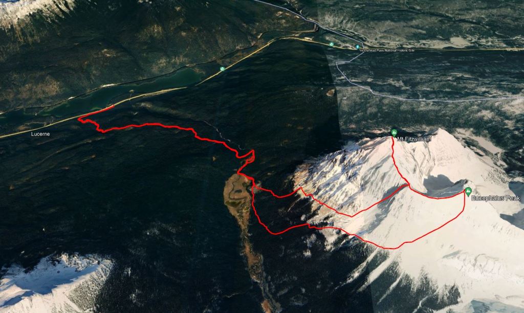
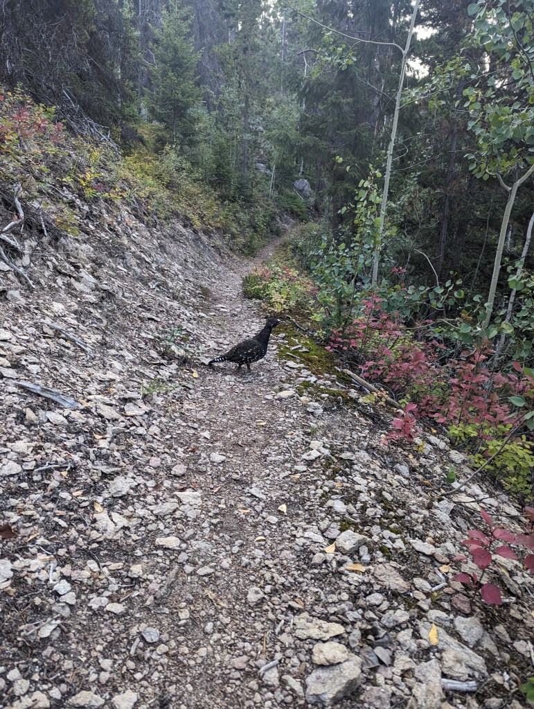
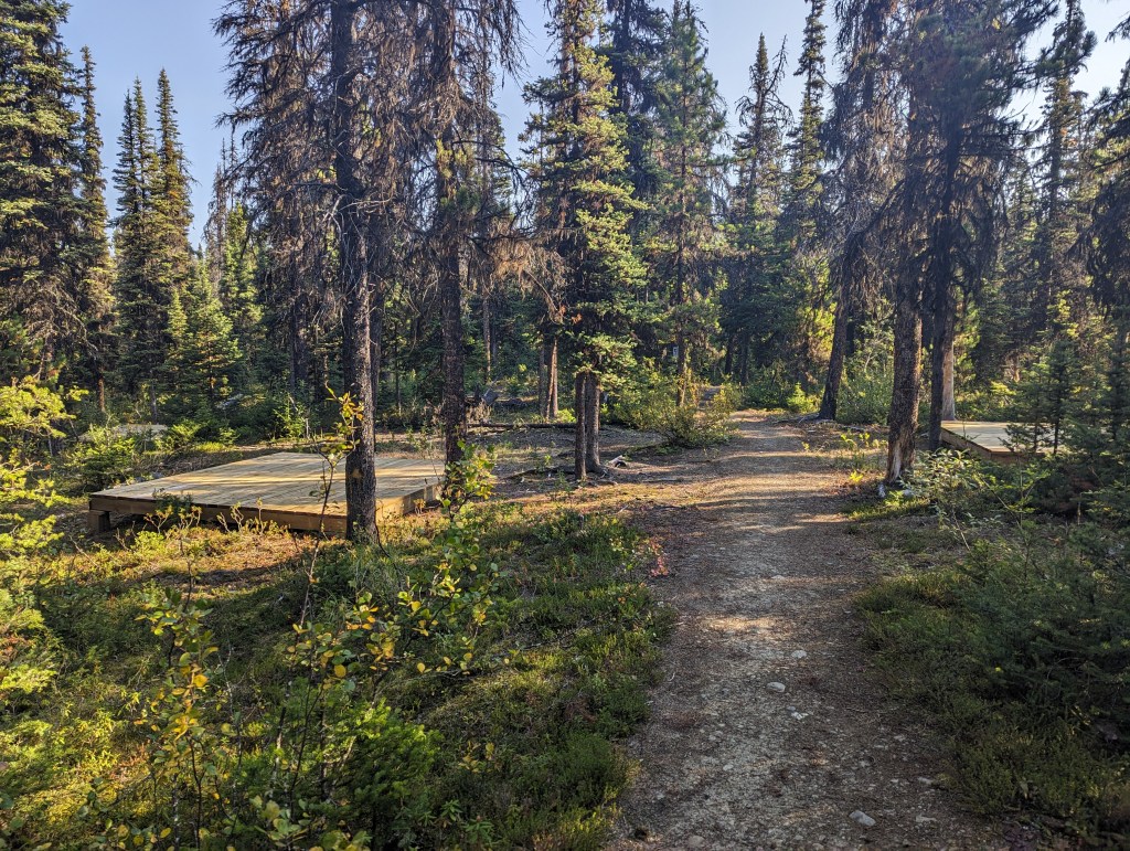
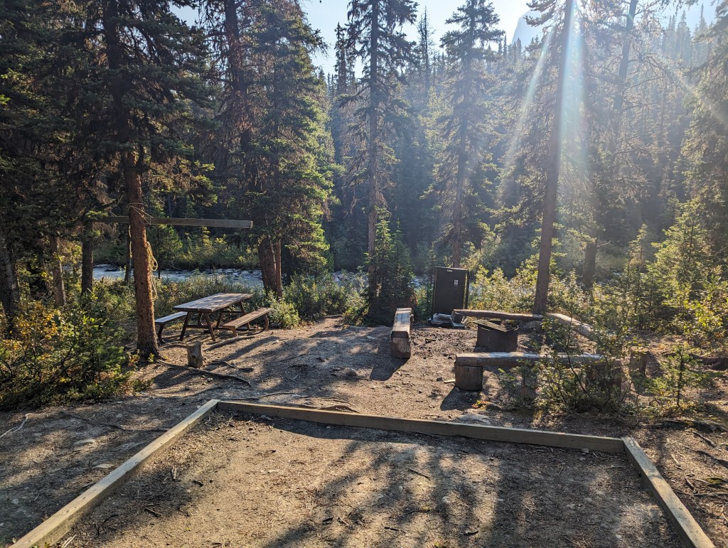
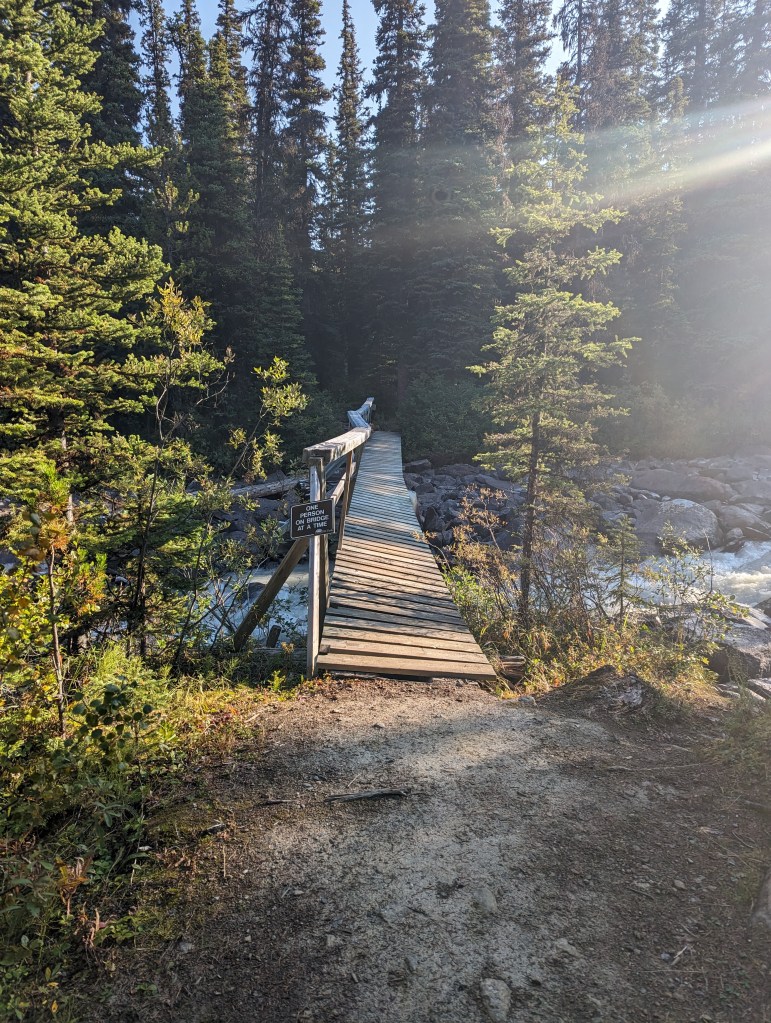
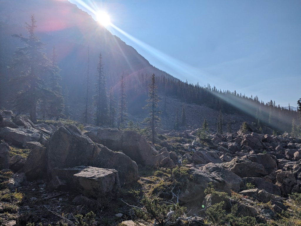
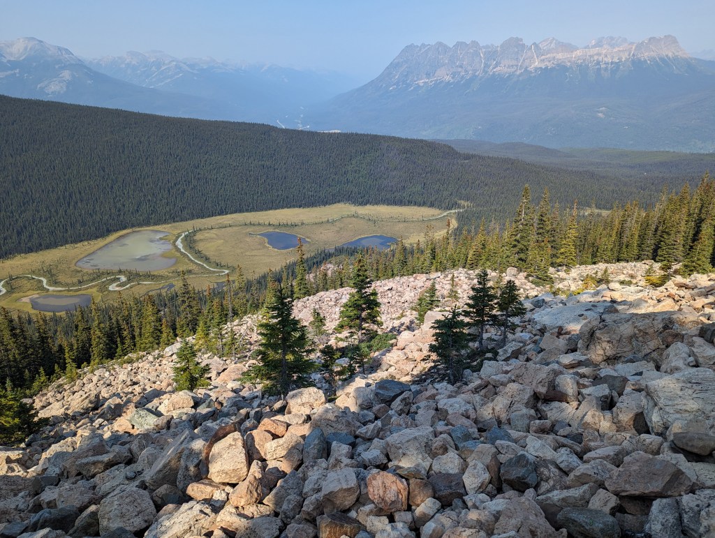
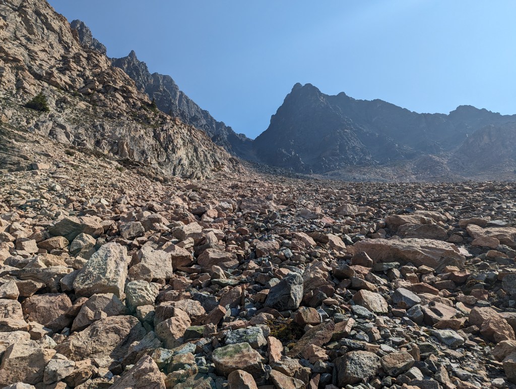
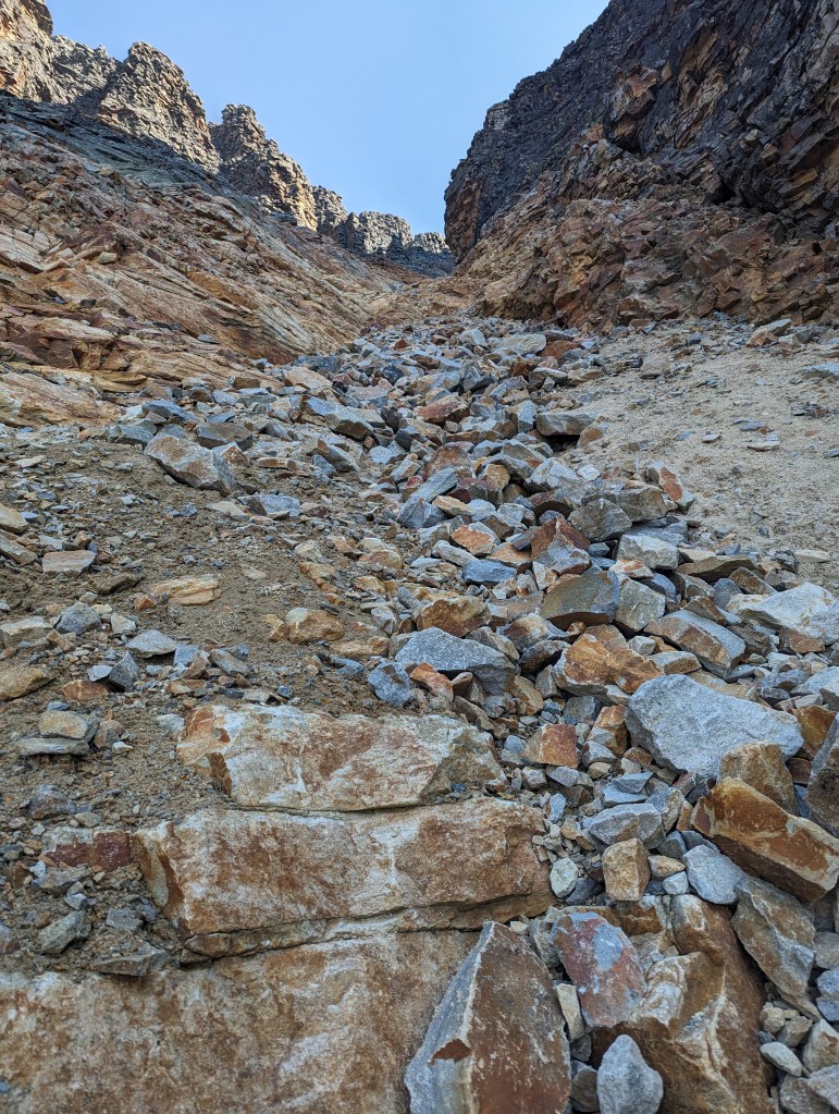
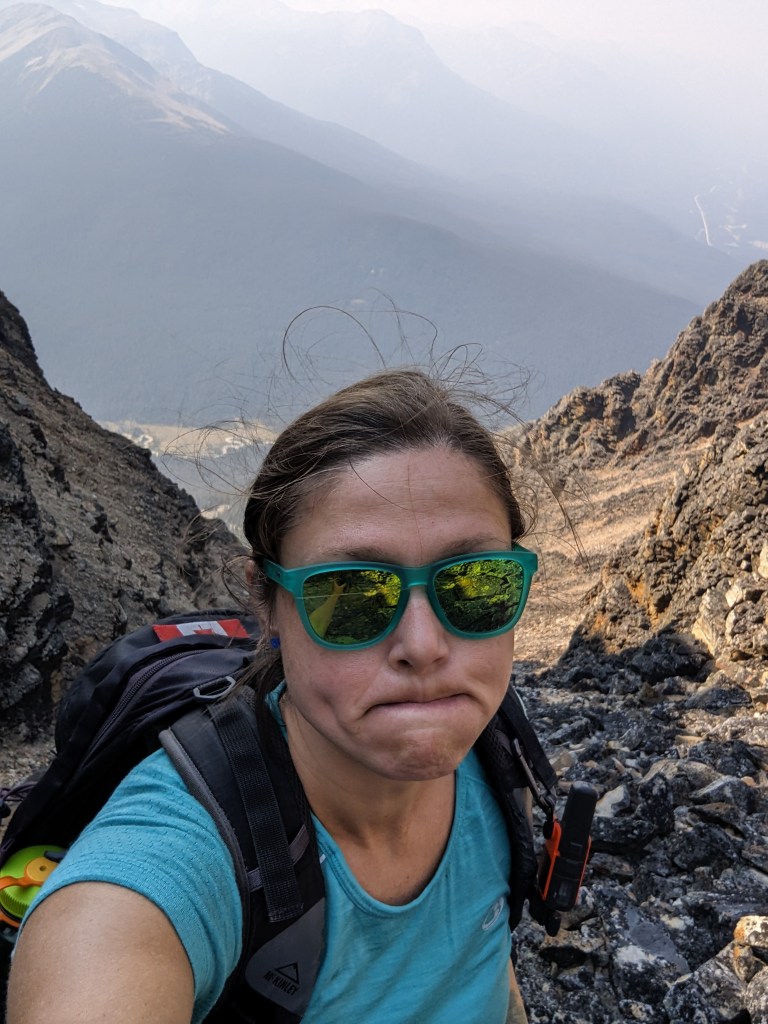
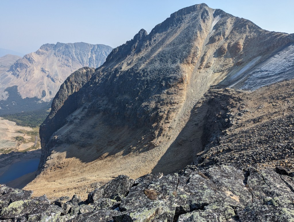
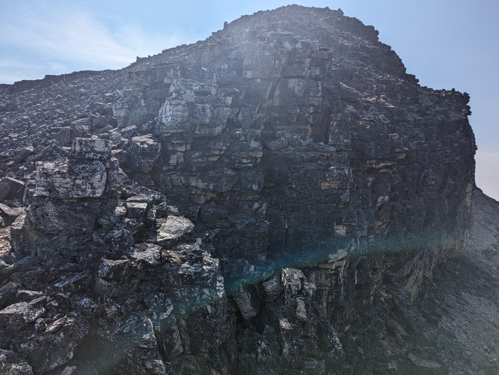
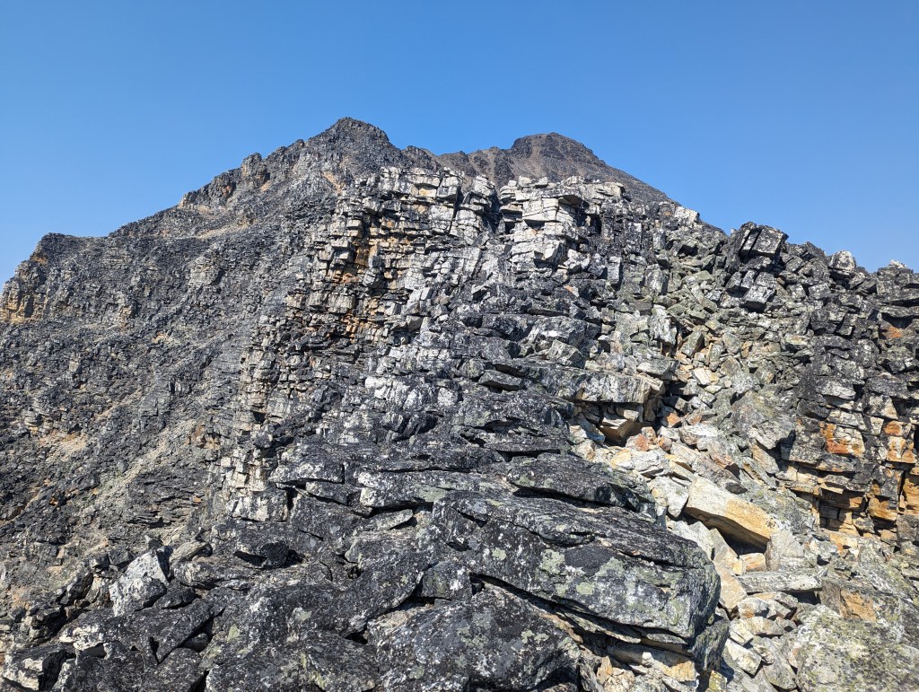
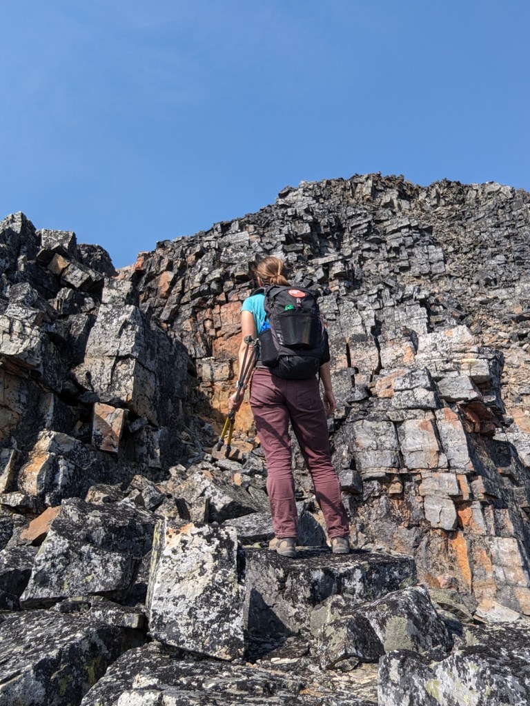
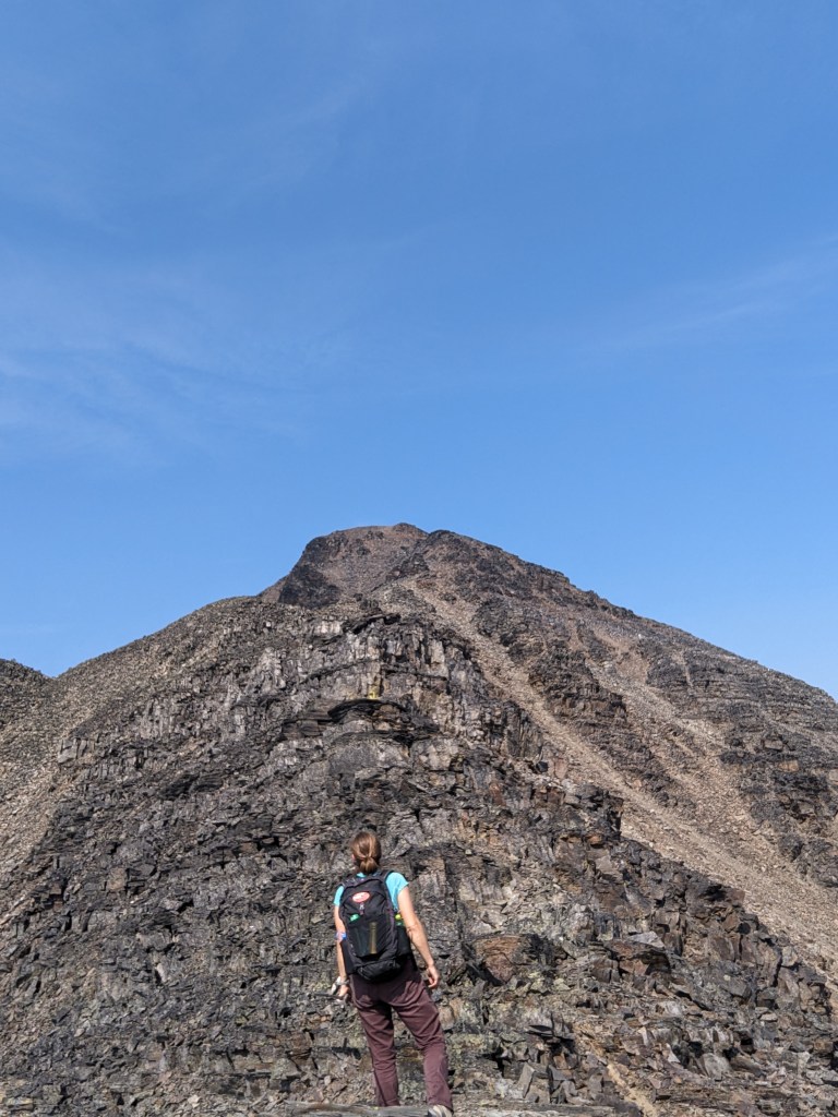
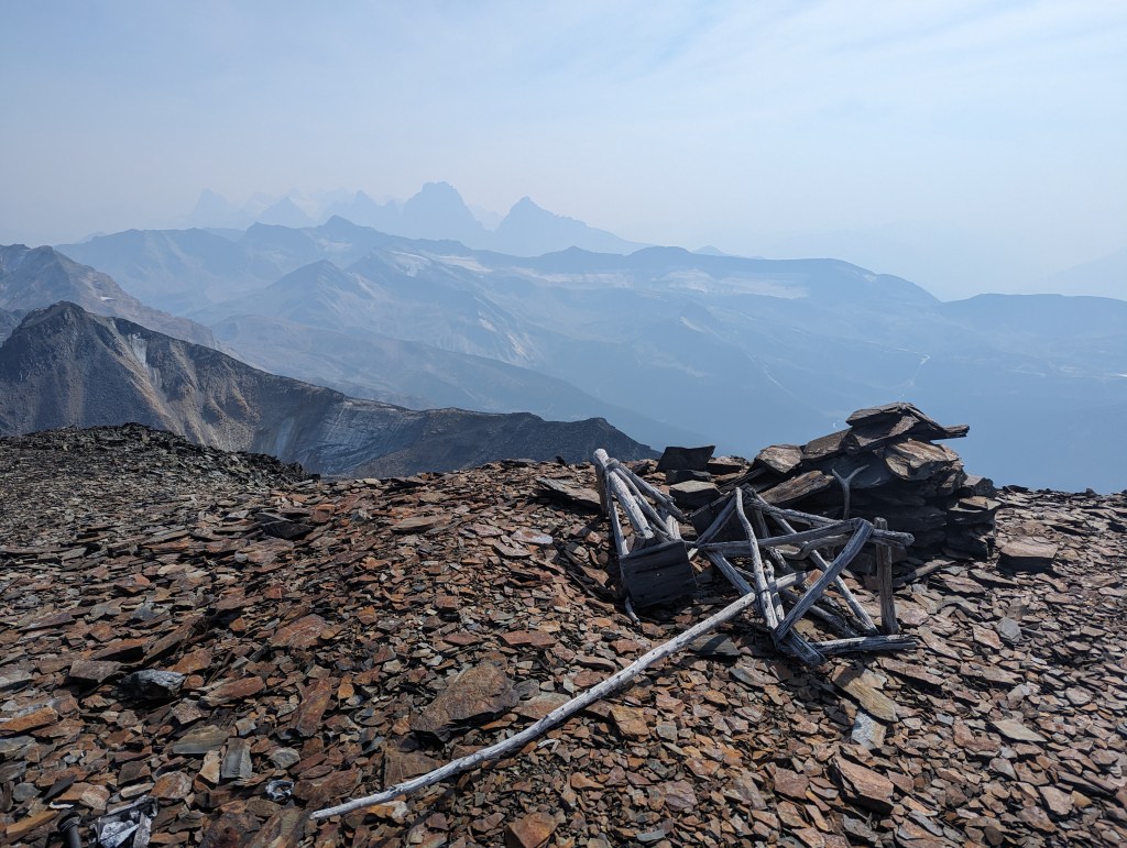
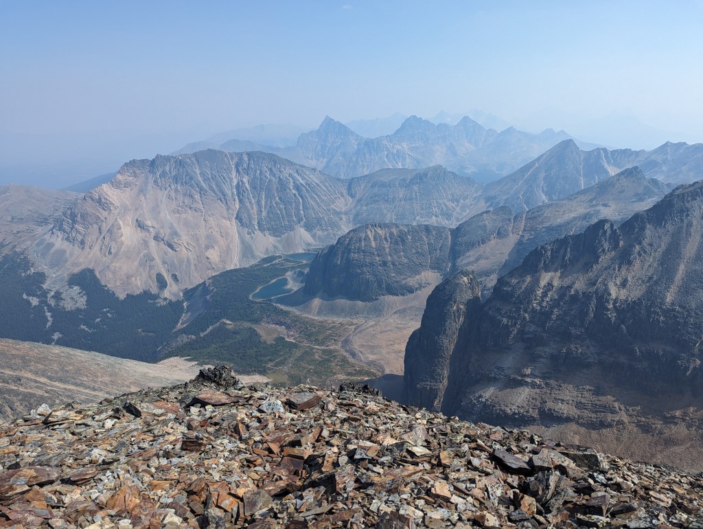
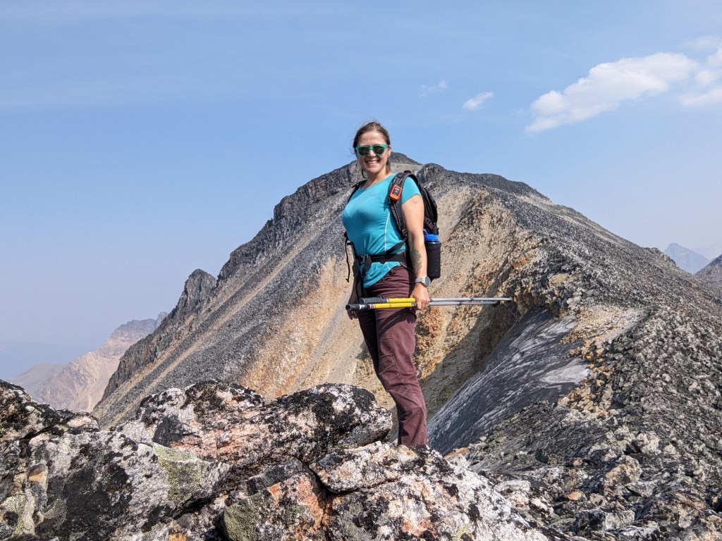
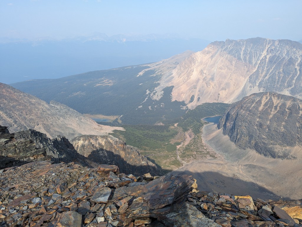
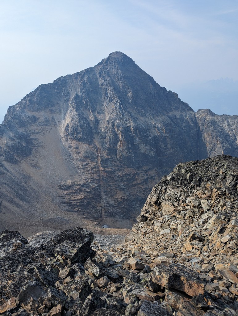
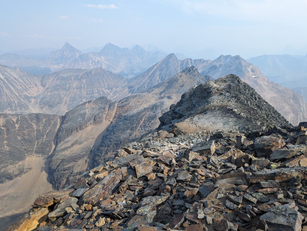
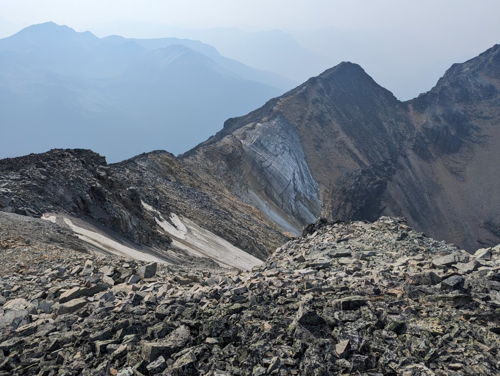
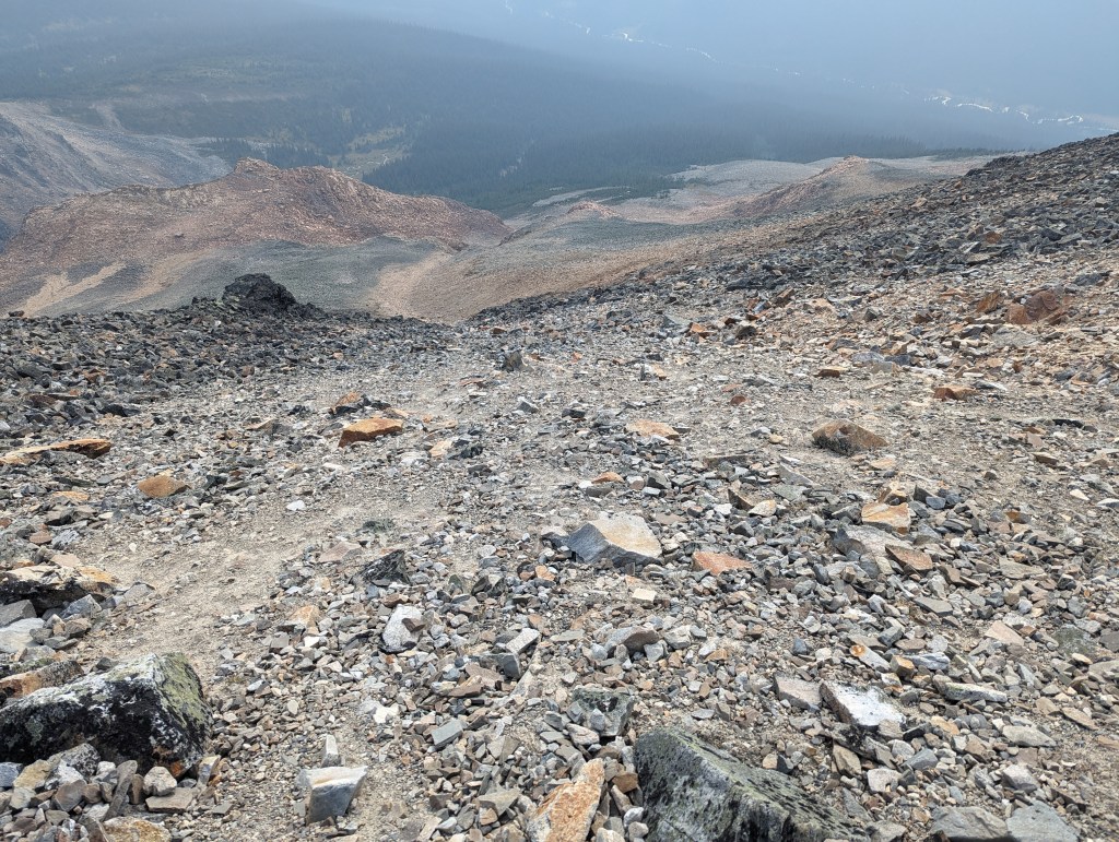
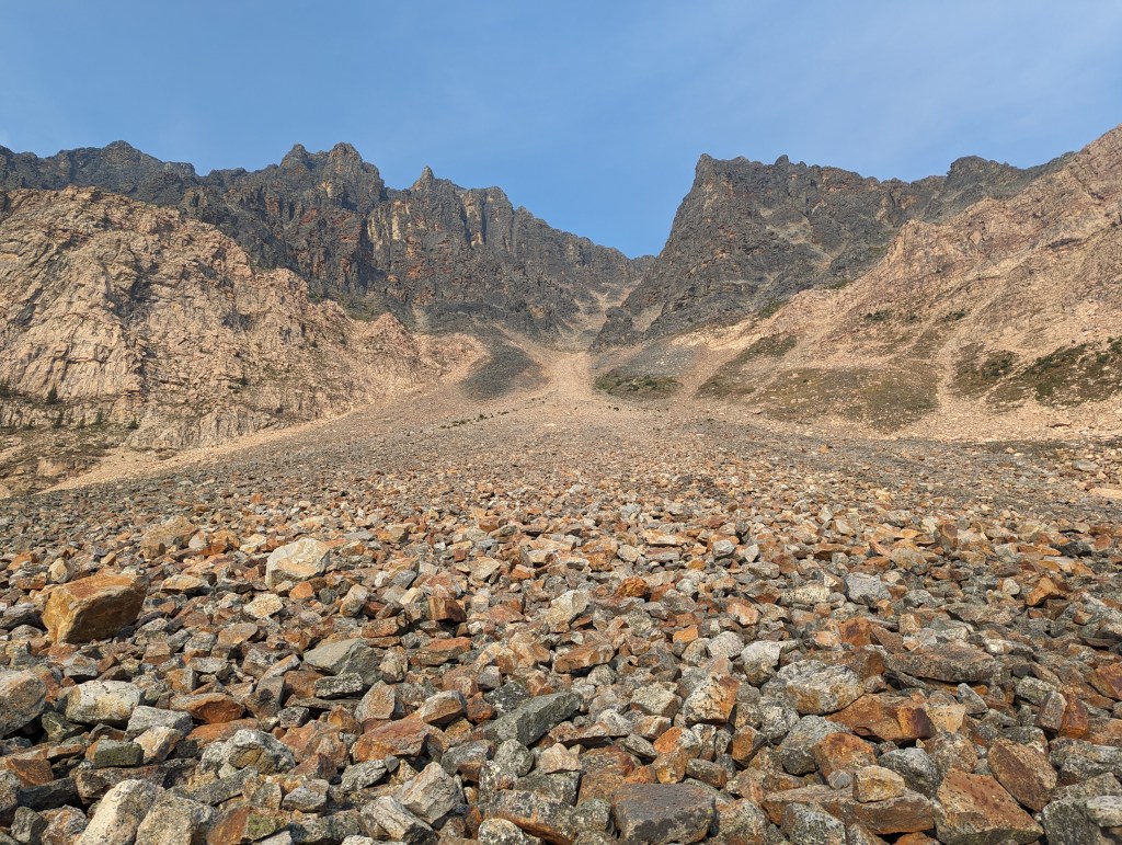
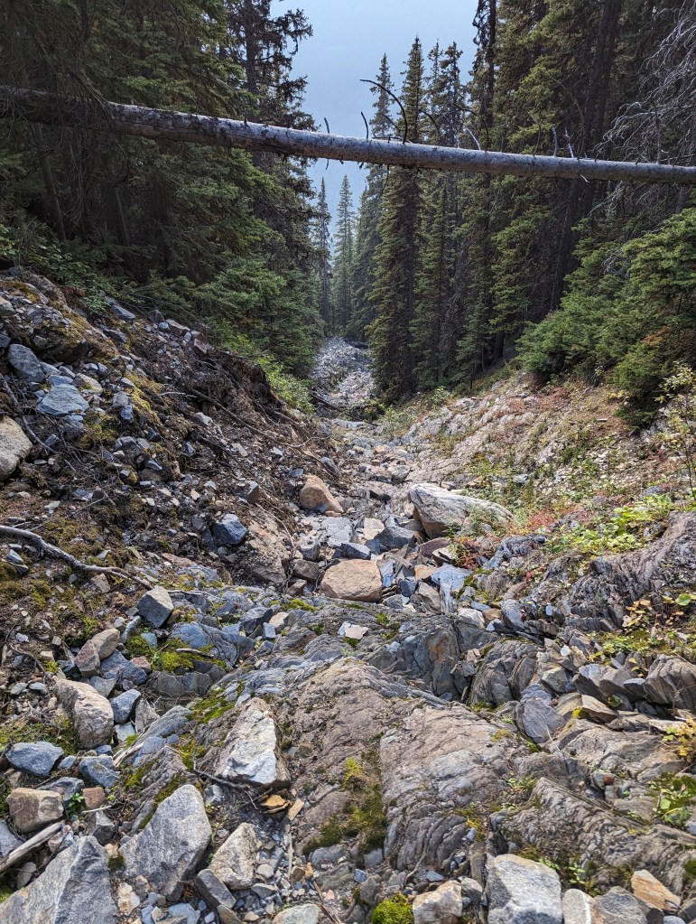
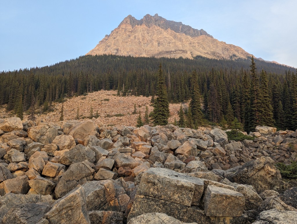
The trailhead was easy to find. Exercise caution when crossing the highway.A grouse welcomed me at the start of the day. The trail is easy up to the first campground.The first campsite at Rockingham Creek was reached in under two hours. It looks to have had recent improvements, including new tent pads.The charming campsite at Rockingham creek has a communal food area along the creek complete with fire pit and bear bin.Continuing across Rockingham Creek before turning right and beginning to bushwhack South along the creek requires crossing this bridge. It held me.The trees along the creek are fairly thin. But, everything in this section is wet and swampy. My pants were quickly saturated in the cool morning dew. Thankfully the inside of my hiking boots stayed dry. It’s worth noting that there had been no rain in the week prior and, overall, the summer was a dry one. I suspect this area is only dry when frozen.After a little over a kilometer of bushwhacking I arrived at a tributary to Rockingham Creek. I was not wearing my Gore-Tex boots and was not keen to have wet feet all day. Heading into the trees to look for an easy crossing, I eventually gave up on the wetland completely and instead hiked up the slope early, angling up towards the rock clearing visible in this photo.Finally reaching the rock clearing, the warm sun felt amazing on my cold, wet clothes. I lingered here for a snack break, kept company by many talkative pikas.The slope above the wetland is mossy and progress was easy. I continued angling up and right, soon reaching a rocky drainage. I followed the drainage up until I was above treeline.From above treeline, the wetland surrounding Rockingham Creek is obvious. The directions from the book would have had me following the creek for another kilometer. Across the valley, to the right, is Yellowhead Mountain. Below it are Yellowhead Lake and the boat launch where the day started.Side-hilling was required due to my route choice, but most of the rock was fairly stable. Traversing across two gullies slowed me down a bit, but I finally reached the correct gully – easily recognizable by its likeness to the gates of Mordor. The lower part of Fitzwilliam is a stable light-coloured rock. But, the upper part is miserable, rotten black rock.The loose rock in the gully can mostly be avoided by scrambling along the left side on solid rock. If traveling with others a helmet is strongly recommended here. Though the solid rock is recommended, take care. Maybe it was fatigue, but I got sloppy and fell here – only two feet, but even short falls can end the day if unlucky.Finally nearing the top of the gully and the Fitzwilliam-Bucephalus col.Yep.Looking South from the col to Bucephalus. I would tackle Fitzwilliam before coming back to Bucephalus.Looking North from the col towards Fitzwilliam.Beginning along the ridge to Fitzwilliam on rotten black rock. This peak is not overly popular, so the majority of loose holds are still there to discover. Feet tend to roll out from under you and no handhold can be trusted.Studying my choss-pile of route options.Nearing the summit of Fitzwilliam.The summit is wide enough to camp on, as garbage strewn indicates. There was no register.One last Look over Fitzwilliam Basin and further to Roche Noir (Center) before returning to the col.Once past the col and on the way up Bucephalus the day felt a bit brighter. The rock comprising the ridge of Bucephalus is more stable and the peak is only 45 minutes from the col.From the summit of Bucephalus, looking down over Fitzwilliam Basin. If a hiker were to continue on the proper trail from the first campsite, it would lead to a second campsite in this basin. However, the peak isn’t accessible from there.Fitzwilliam, viewed from the summit of Bucephalus.Roche Noir and other peaks to the East.Looking back along the ridge to the col. The top of the gully is the notch at the right.By this point my tumble in the gully was catching up with me and every step on descent was uncomfortable. I didn’t like the vibe in the gully and didn’t want to further injure myself, knowing the bushwhack was still ahead. Instead I decided to descend the back of Bucephalus on a talus slope, traversing around to meet up with the bottom of the gully. This was the right choice for my ankle, but was a bit longer. If travelling in a large group, this detour could be a good option to mitigate rockfall hazard.Passing back under the gates to Mordor. Note the stark contrast in rock. By this point my ankle was forcing me to limp. I used my InReach to notify that I would be delayed and then trudged on.On descent I took a different rock gully down earlier to easier terrain. This gully went nearly to the valley floor. Avalanches likely open up different paths from year to year. As of 2023 though, this is the easiest path.From the bottom of the gully/slide path, bushwhacking through trees was relatively easy, eventually leading to the same rocky clearing passed earlier in the day. The contrasting rocks on Fitzwilliam are obvious in this photo.
From the clearing I returned the way I came, slowed down by my increasingly sore ankle, eventually reaching the parking lot in the dark after 14 long hours. I cancelled my plans to bag another peak the next day and instead opted to sleep in before taking a leisurely paddle around Yellowhead Lake.