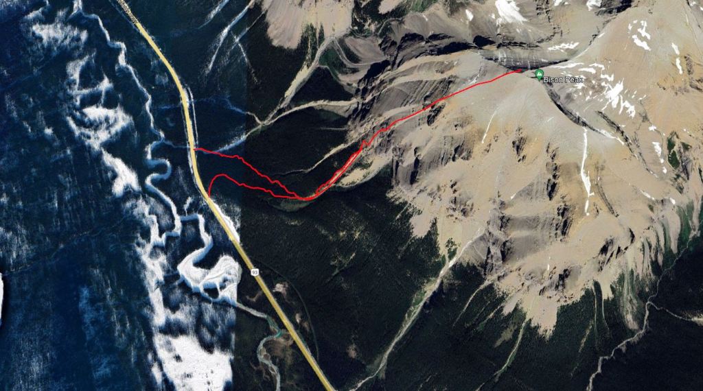
Notes: Scouted out approach options via creek, concluded bushwhacking is still easiest.
Trip Report
This is a shorter one, fairly straight-forward. The bushwhacking isn’t terrible.
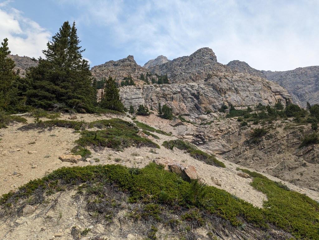
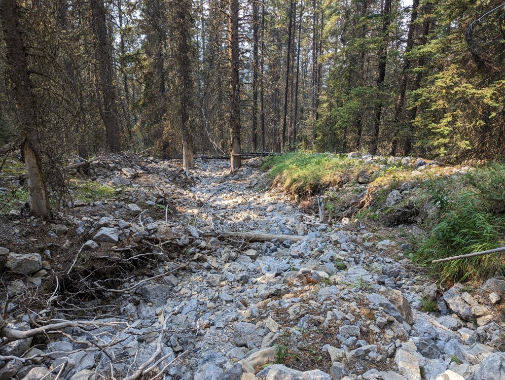
Nugara mentions that the approach can be done by Bison Creek, but that a straight line through the trees is shorter and easier. I was in no mood for bushwhacking on this morning and decided to explore the creek, but in hindsight I agree the bushwhack would have been easiest. On ascent, instead of the pullout Nugara recommends, I parked further north where mapping shows a creek. I picked up a dry, mossy creek bed here and followed it in, tracing the south leg of my route in the map above. This mossy bed eventually meets up with a larger gravel bed that flows north, which I later followed out. I am guessing that the drainage has rerouted itself, and the mapping may be obsolete. Neither creek option was clear of debris or easy to travel. In contrast, the forest is old, larger trees with soft moss beneath them. Hence, as of 2023, I agree with Nugara that a direct bushwhack through the trees is the easiest approach. There is a pullout south of my southern track in the map with parking better suited for a bushwhack approach.
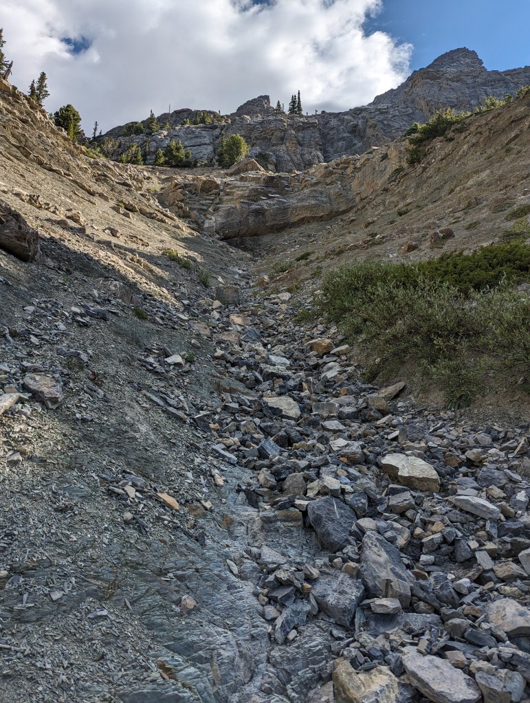
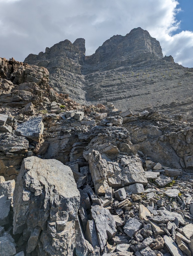
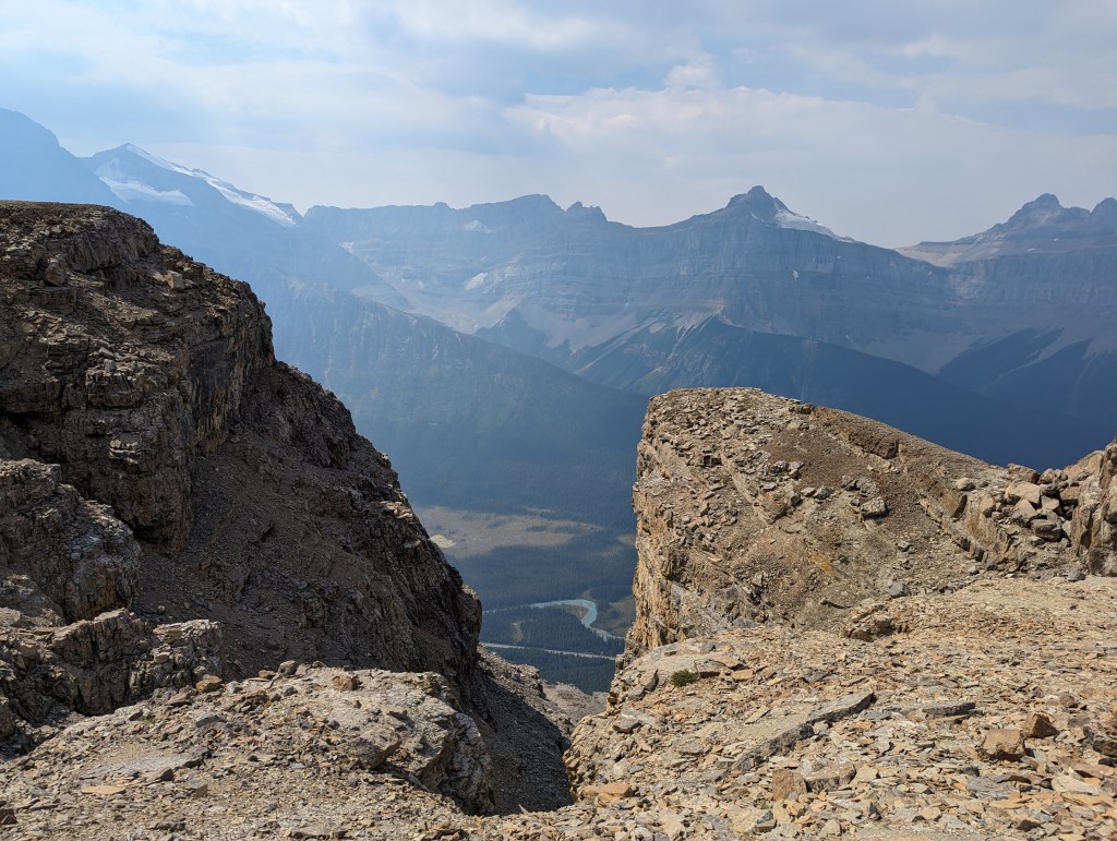
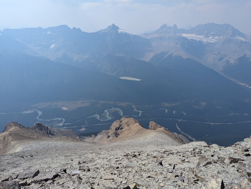
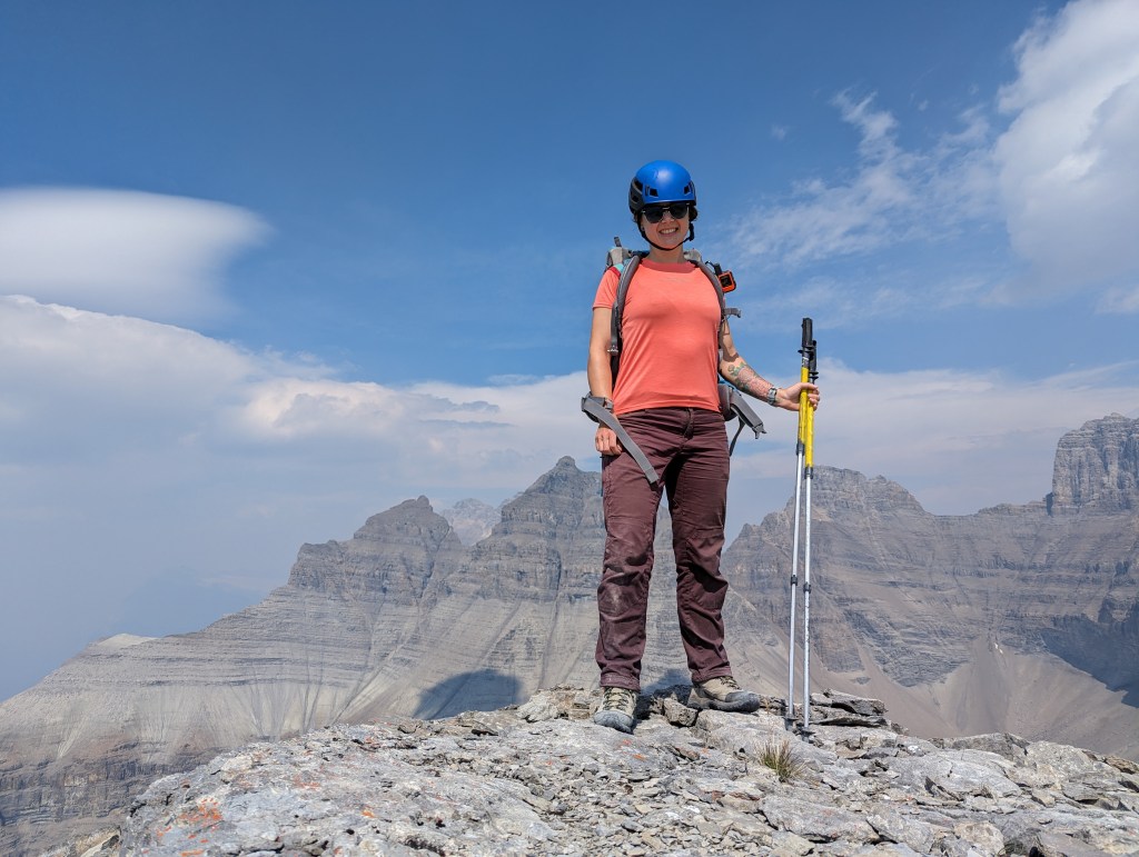
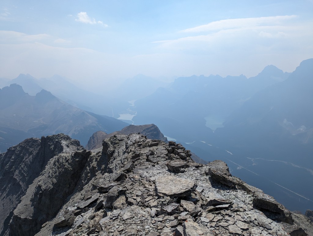
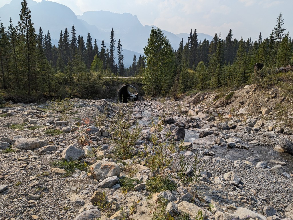
Typical travel up the dry, mossy creek. At a Y I had to go right.Past where the mossy creek joins the gravel bed, the creek narrows and makes for a few moves of fun, moderate scrambling.I left the creek here by climbing the hard mud-slab to the left. I then traversed left a few more meters looking for the easiest line up the next cliff.Zig-zagging up the cliff was fairly intuitive. In places there are a few moderate lines to choose from, all trending in the same upward direction. I spotted a handful of cairns that assured me I was on the right path.A mountain goat pausing to gaze at this clumsy, noisy human.Pausing for a lunch break, studying the gully above and hoping in vain to spot a better line through the cliff. The gully looks miserable from below, but wasn’t as bad as I expected.I made it through the gully unscathed. It is steep and loose, but nowhere near as bad as it looks. Above the gully there is still a good scree slog to the peak.Finally reaching the peak, looking back down at the final slog. The ascent gully is the one at the right.Standing on the summit, Mount Murchison in the background.Looking South at the Mistaya River and Waterfowl Lake. Chephren is to the right, obscured by smoke.Once I’d had my fill of views and smoke, I returned the way I came. This photo is below the cliff band with the cairns, on the shoulder above the creek, looking back up. On the way down, I bypassed the narrowest part of the creek and stayed high on the shoulder.Staying on the shoulder above the creek was easier travel for the descent. I rejoined the creek bed where the terrain flattens out and then followed the creek out to the highway. This is the larger gravel bed I mention in my intro – not the dry, mossy bed. As mentioned, I think this is a reroute of the creek bed indicated on maps.Typical travel along the rerouted creek bed.After joining a larger creek, this route led back to the highway.
I arrived back at my vehicle in 6 hrs 40 min. The short day was a refreshing change, leaving plenty of daylight for the drive back to the city. I even had time to stop for ice cream in Rocky Mountain House!