Notes: Most of the Tonquin campsites would work as a starting point. Confirm caribou restriction dates before entering the area.
Trip Report
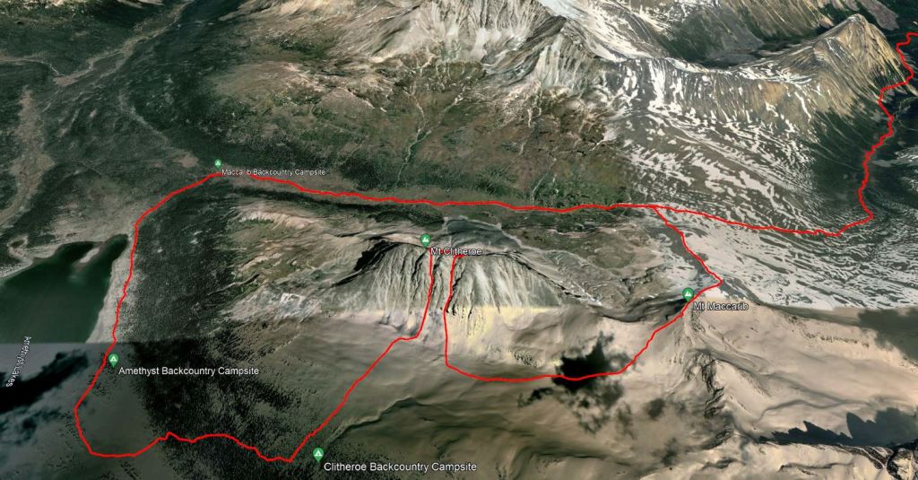
Tonquin Valley is a spectacular area of Jasper Park. Caribou restrictions keep this region closed in winter and it tends to be less popular in spring and summer due to the mud and mosquitoes. So, when the universe gifts you a summer-warm weekend in mid-September, you thank the universe and grab a last-minute booking into the Tonquin Valley. Maccarib is what was available, so I booked two nights there.
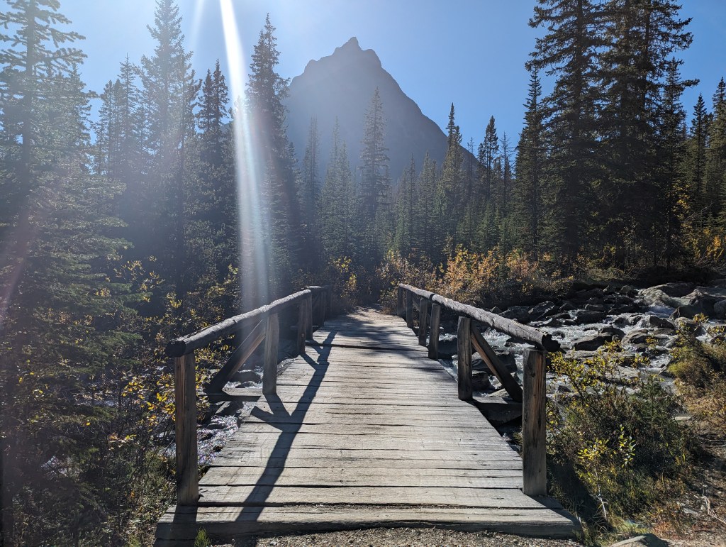
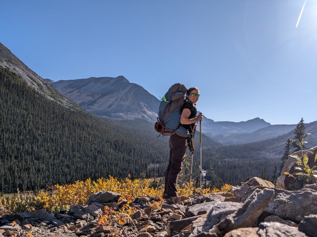
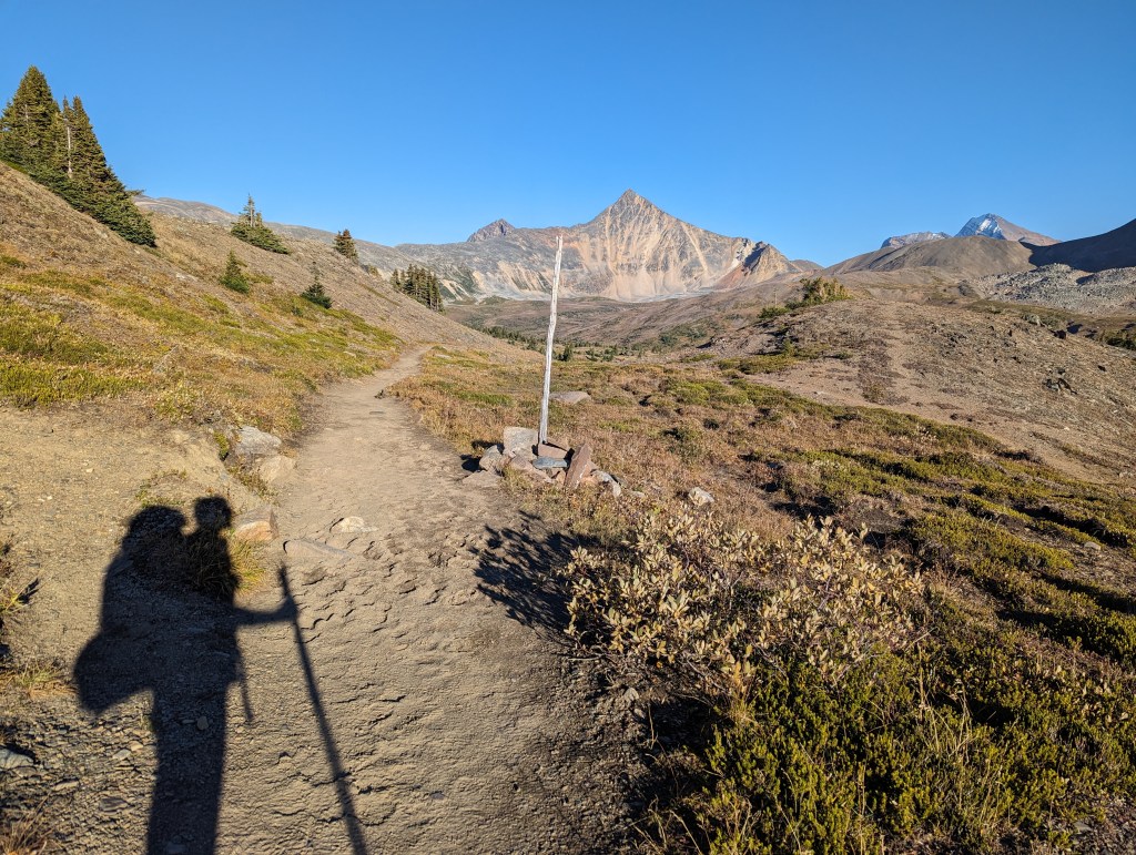
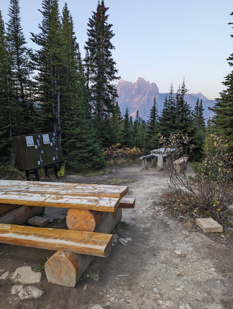
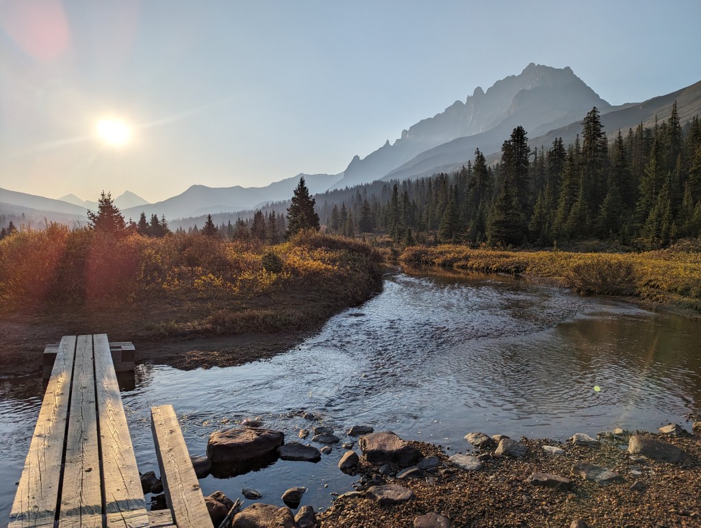
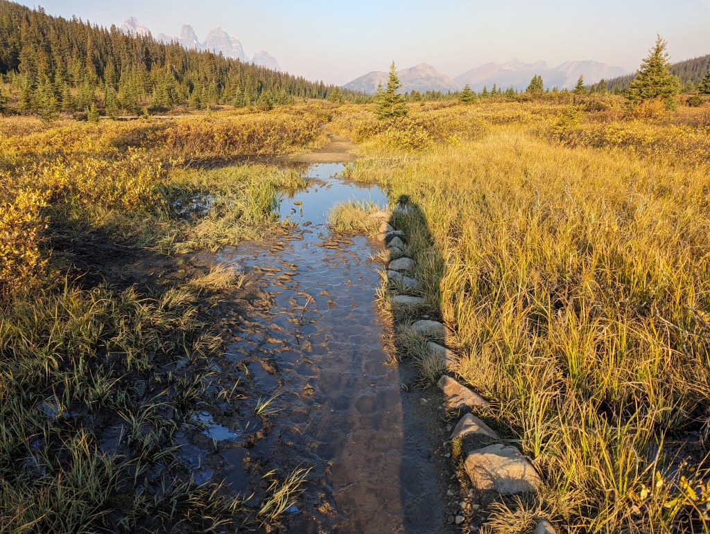
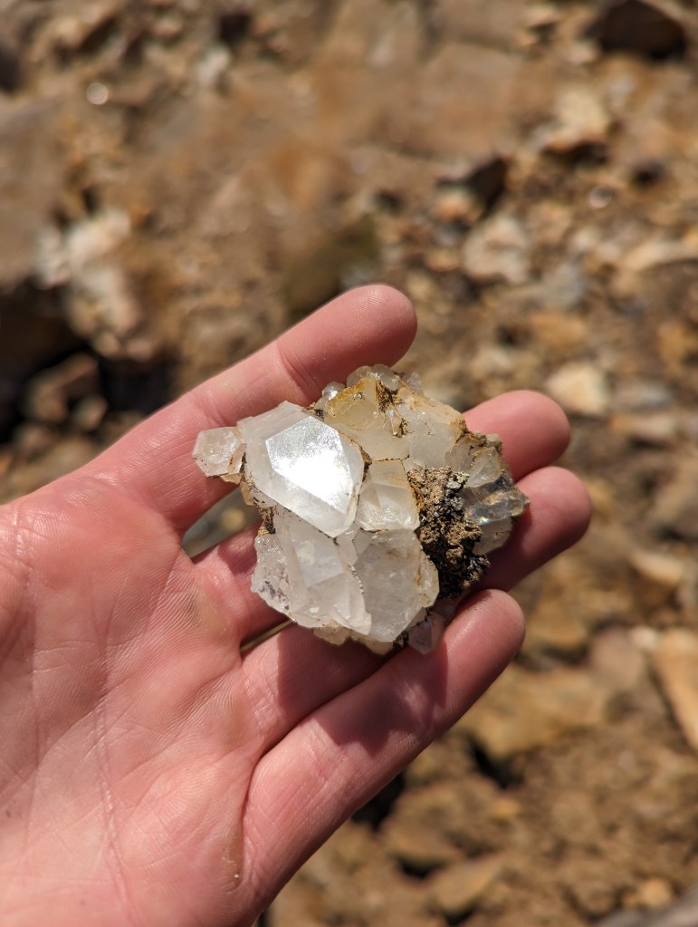
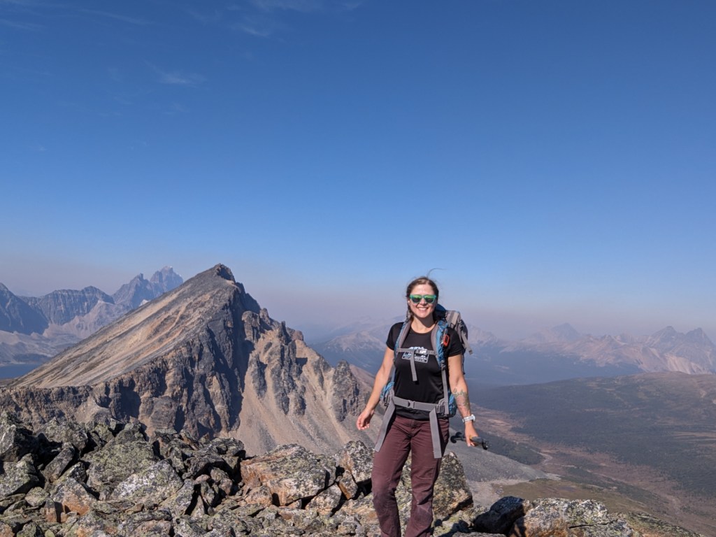
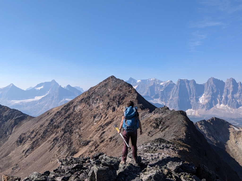
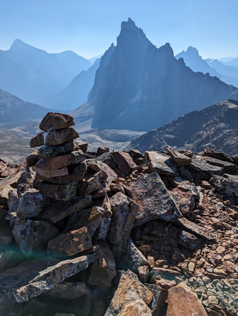
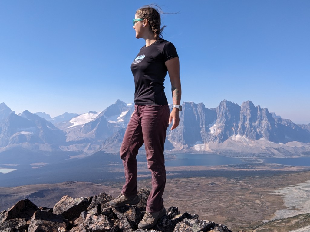
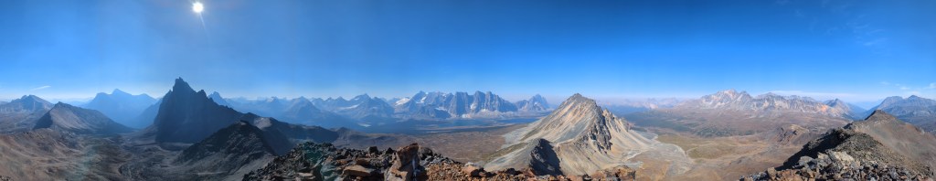
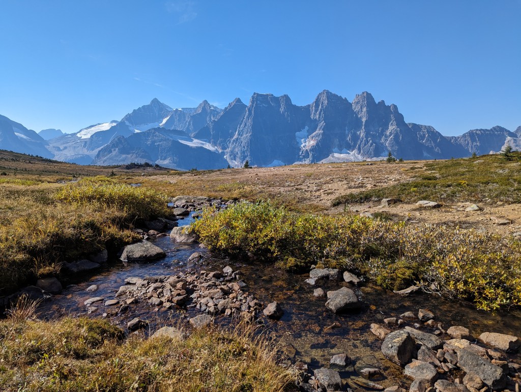
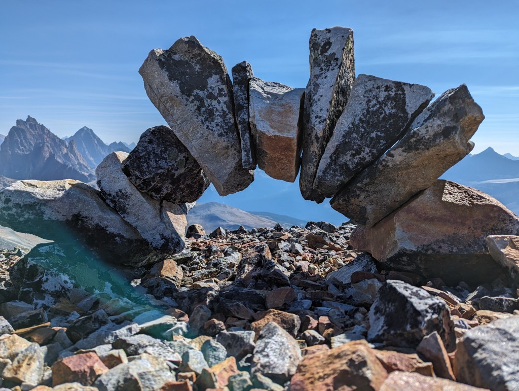
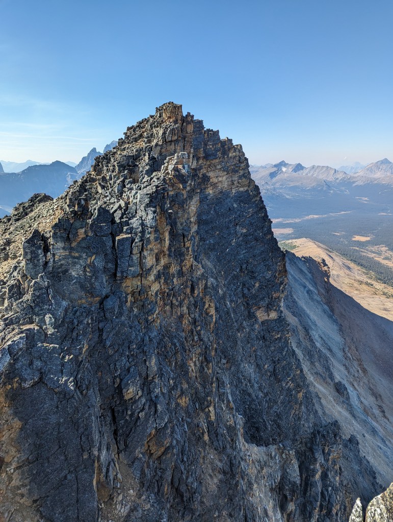
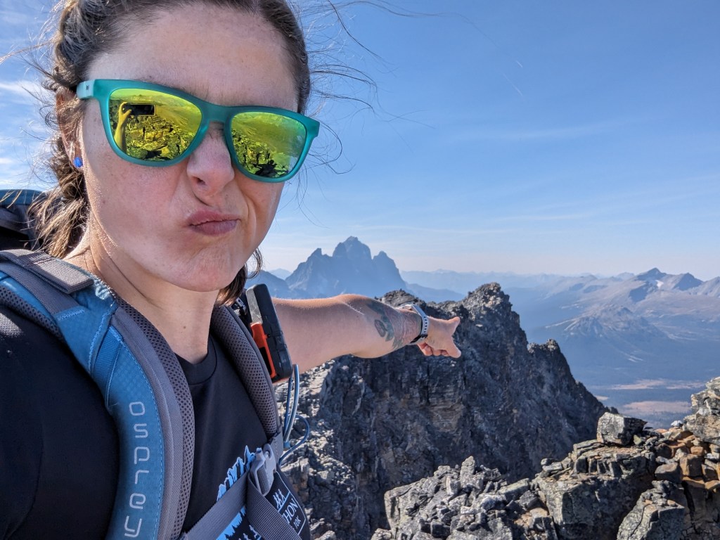
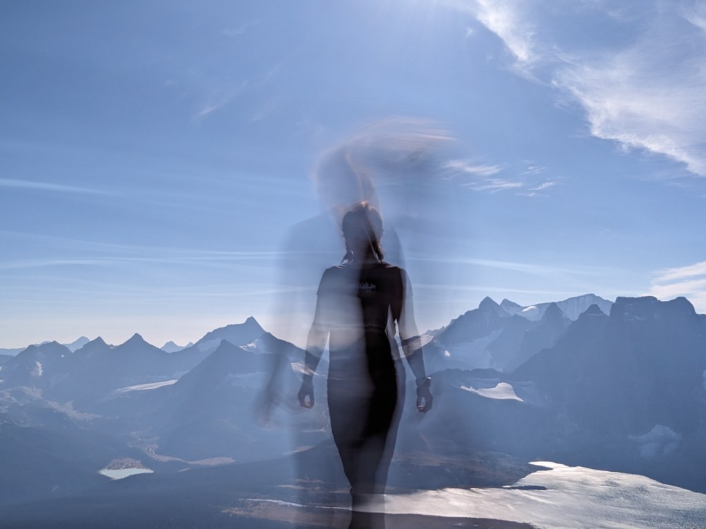
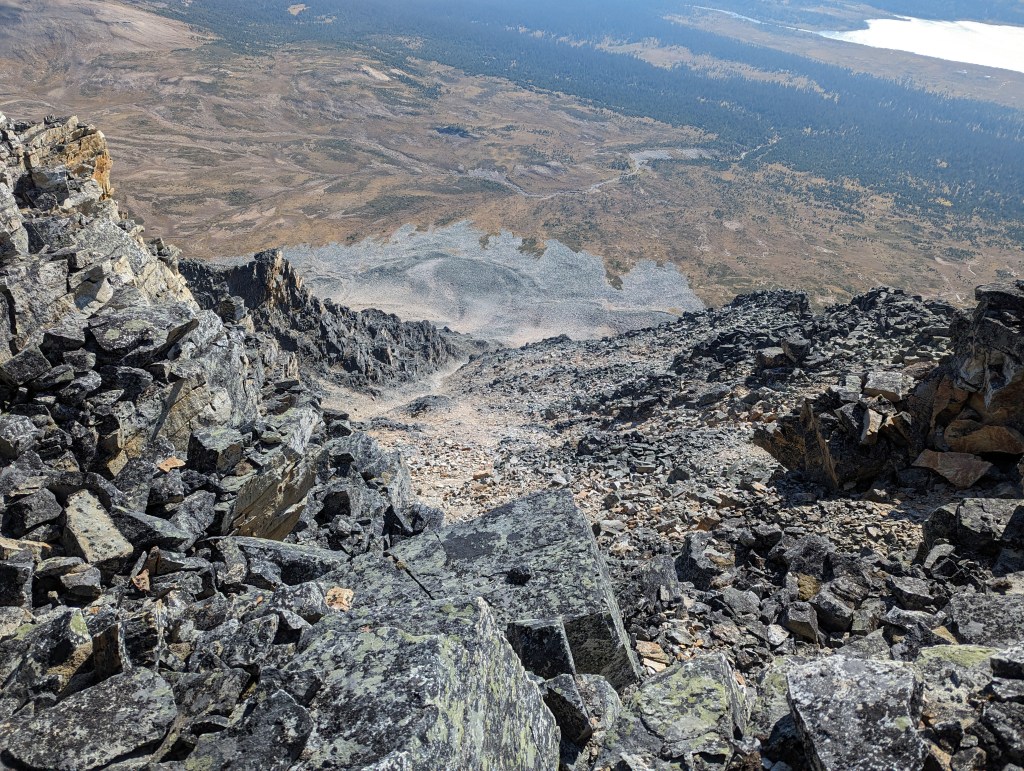
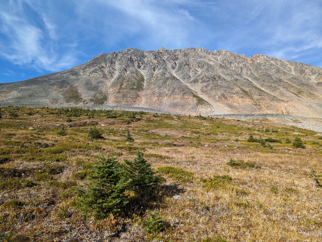
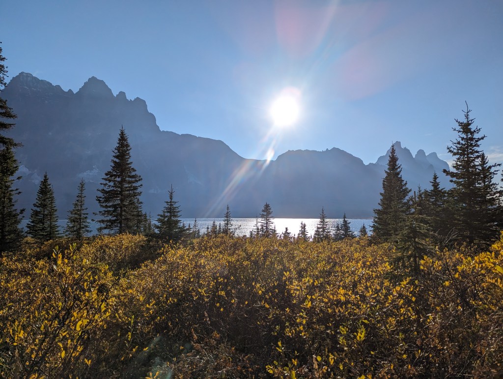
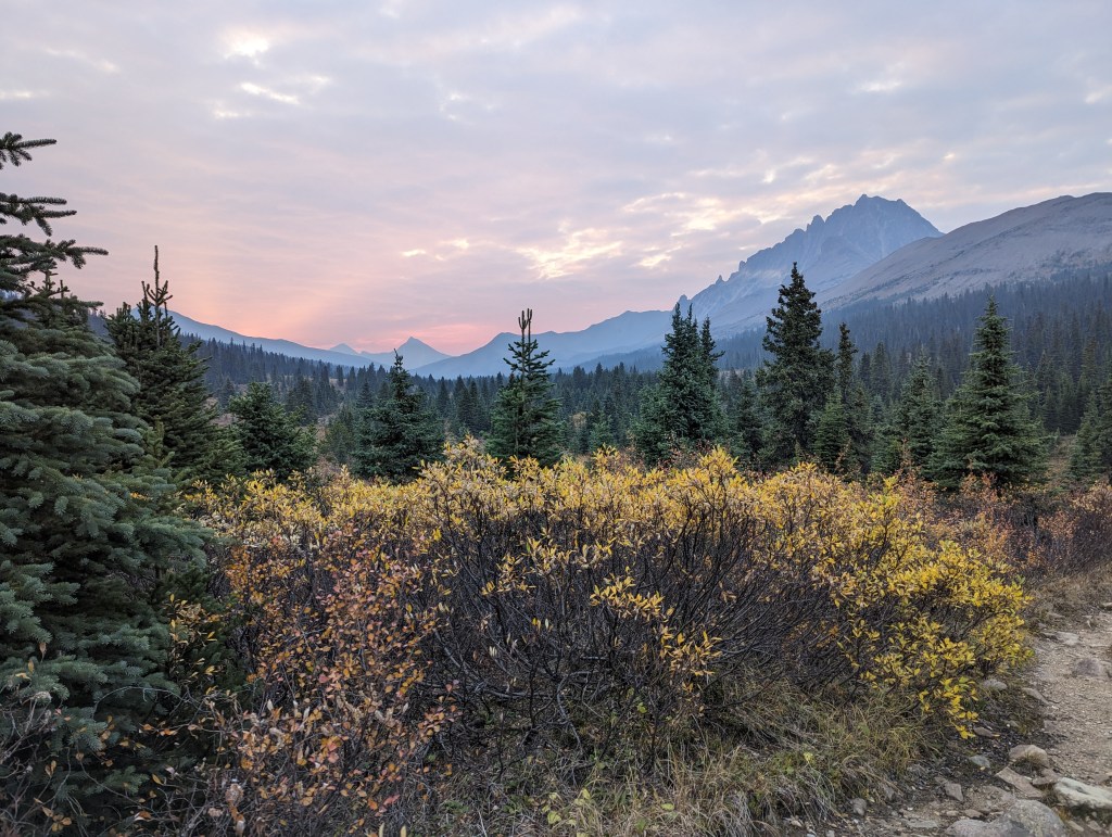
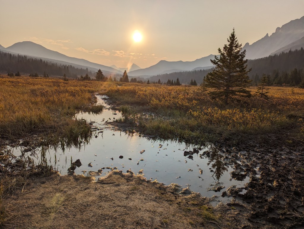
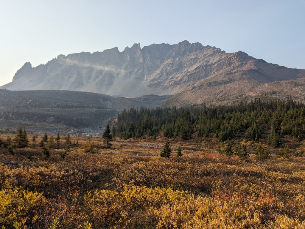
I hiked in from the Portal Creek trailhead Friday evening (Sept 15). Portal Creek is near Marmot Basin and has cell coverage at the parking lot. The Astoria Trailhead is near Mount Edith Cavell and can be difficult to find parking at during peak tourism season.One happy camper!Elevation is steadily gained up to Maccarib Pass. From this high point the trail is mostly flat.I reached Maccarib Campsite in 4 hrs 35 min, heading straight to bed after a quick meal in the dark. I awoke near dawn, before the rest of the campsite was bustling.Back-tracking to Maccarib Pass, on the same trail I had taken the evening prior. Mount Clitheroe is to the right.Even on a dry autumn day, the famous Tonquin mud does not disappoint.Turning off of the trail at Maccarib pass, the ridge towards Maccarib is easily gained with easy scrambling and no bushwhacking.Interesting crystal formations can be spotted along the ridge.I was surprised to find a larger summit cairn on the false summit than the true summit. Oldhorn Mountain dominates the background.At the false summit, Mount Clitheroe in the background.Continuing along the ridge to the true summit. A few moves of moderate scrambling were needed to bypass a section to the left and then gain the peak.Reaching the true summit. This cairn had a summit register and shows more traffic than I expected: Several parties a year!Overlooking Amethyst Lakes and The Ramparts from the summit of Mount Maccarib.Summit panorama from Mount Maccarib.From the summit, I descended an easy scree slope to the meadow below. I knew from reading Song’s trip report not to try side-hilling over to Clitheroe.This obvious gully in the center is not the ascent gully. Nearingburg and Coulthard’s directions are to ascend “a prominent gully in roughly the middle of the summit ridge” and provide a photo (A small, grainy photo taken in snowy conditions). Mount Clitheroe is somewhat dome shaped when viewed from the South and the gullies really all look about the same. Even the description of which turns to take on the way up perfectly matched this wrong gully.Nearing the top of the wrong gully, the directions say that the high point to the right is the summit. The high point to the left certainly looked higher, but I checked the right side out anyway, only needing a few moves of moderate scrambling. I found an impressive little rock arch, but I could clearly see that this was not the summit. Evidently, I am far from the first person to misinterpret the directions.A neat little arch on one of the lower summits of Clitheroe.Looking left (West) towards a higher looking point. The summit ridge is comprised of blocky cliff bands and cannot be easily traversed. I had to back-track, down-climb, bypass, and then scramble up to this point. This was all moderate scrambling.Upon reaching the high point, I looked left (West) and spotted a higher point still! More backtracking, down-climbing, bypassing, and scrambling…After wasting just over an hour visiting every high point on Mount Clitheroe, I finally reached the true summit. There is another highpoint slightly left which looks like it is the same height. This must have been what Nearingburg and Coulthard meant by the high point to the right being the peak. This makes much more sense!Summit panorama from Mount Clitheroe.Unintentional camera effects, or maybe I’m a ghost? The view looking over Amethyst Lakes (Right) and Chrome Lake (Left).From the peak there are two obvious descent gullies. The one to the West looked wider and easier, but I couldn’t see all the way to the bottom. The one to the East was narrower, but I could see straight to the bottom and knew I wouldn’t get cliffed out. So, I chose the latter. The descent gully I chose was a bit more spicy at the top (Harder, but still moderate scrambling).Looking down, the rest of the descent was easy scrambling.Reaching the bottom and looking back up, I see now that either descent gully would have worked and the one to the West (left in the photo) looks a bit easier at the top. The gully I descended (right) is distinctive by the red brick wall at the beginning.From further back, it is more easy to recognize that the easier of those two gullies was, in fact, the gully intended by the directions in the book. It looks to be the third major gully from the left (From the West). My descent gully (Fourth from the left) ended at the right of this photo and was slightly spicier near the top.To pick up the backpacking trail on the other side of Clitheroe, I simply walked downhill until I reached it. A couple hundred meters of light bushwhacking was needed, but the trees were quite thin. This view is looking Southeast across Tonquin Valley from the backpacking trail.The sun dipped behind Dungeon Peak, creating a dramatic effect in the smoke. Oubliette Mountain is to the left and Redoubt Peak is to the right.The old Tonquin Valley Adventures cabins sit nestled in the tree. I have fond memories of skiing into these cabins after a long day of touring – angling towards the warm, twinkling light and being welcomed into a warm cabin. It’s sad to see them sitting empty now.The return trail loops past Amethyst Lakes. Tonquin Hill is to the Northwest, just inside the Alberta-BC border.Passing near Amethyst Campsite, looking back at The Ramparts and Amethyst Lakes. From here it’s only 3.5 km back to Maccarib Campsite.Back at Maccarib Campsite, I awoke at sunrise again the next morning and took a brief walk around the meadows. Years earlier I’d heard that a park warden was buried at Maccarib and I hoped to visit his grave.The meadow trail runs parallel to the tent pads. About 30m beyond the last tent pad lays the grave of Percy Hamilton Goodair. Goodair was park warden for the Tonquin Valley until 1929. His story can be found here.Finishing my walk, I packed up and started backpacking out, not entirely disappointed to be leaving the Tonquin mud behind.One last look at Mount Clitheroe. The West side does look slightly higher (The right side in this photo).
The backpack out took 4 hrs 10 min. I ran into a pair of backpackers from Calgary along the way and we hiked out together. I was happy for the company and picked up a few tips for reducing my pack weight. I even made it back through Hinton early enough to stop at my favourite food truck, Tres Marias.
My round-trip hiking time was 19 hrs (4 hrs 35 min into the campsite, 10 hrs 15 min loop over both peaks, and 4 hrs 10 min out from the campsite). I probably could shave an hour off of this by taking the intended gully up Clitheroe. Camping at Portal Creek rather than Maccarib would offer the greatest reduction in overall time, however, by halving the backpacking distance (I hiked the section between Portal Creek and Maccarib three times – not too efficient).
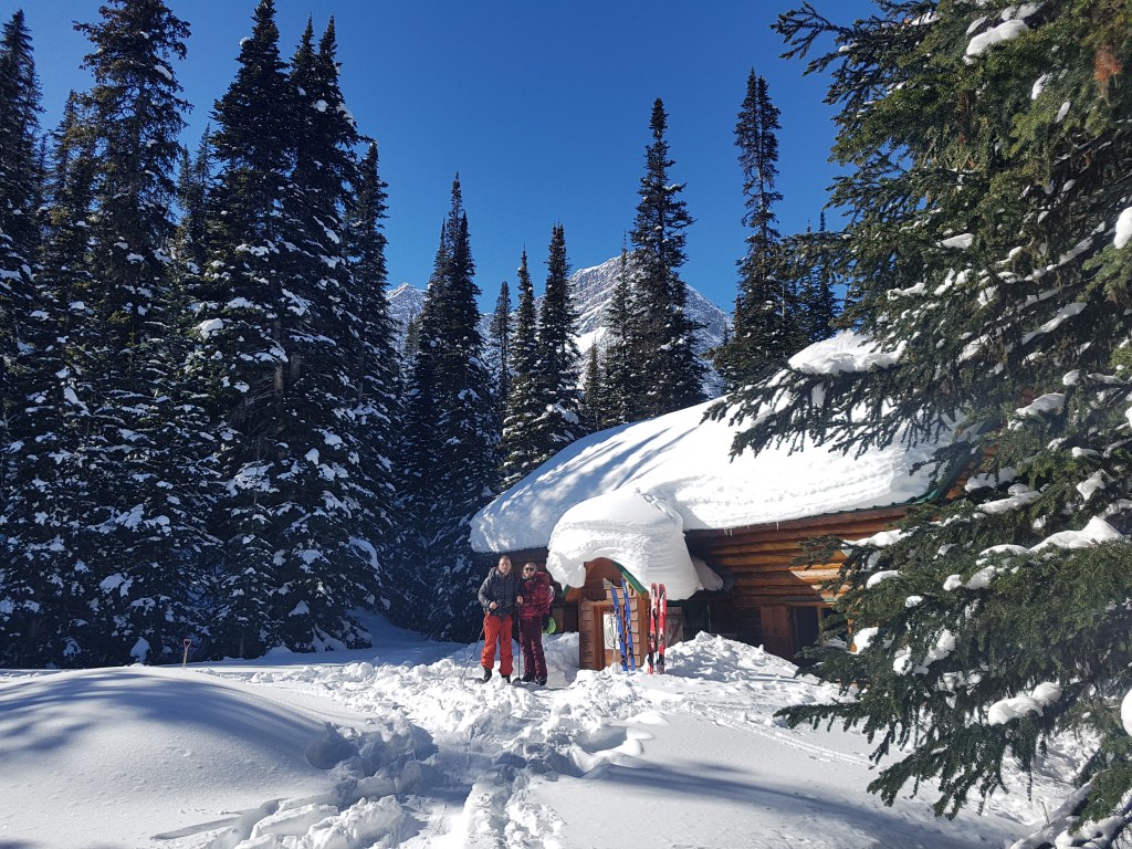
A note for those less enthusiastic for shoulder season camping: One cabin in the Tonquin Valley remains in operation as of 2023. Wates-Gibson Hut is bookable by non-ACC members 3 months in advance. The hut has a wood stove and gas lights, but you are on your own to keep the fire going and operate the lights as it is unstaffed.
Appendix
Memories of a bygone era.
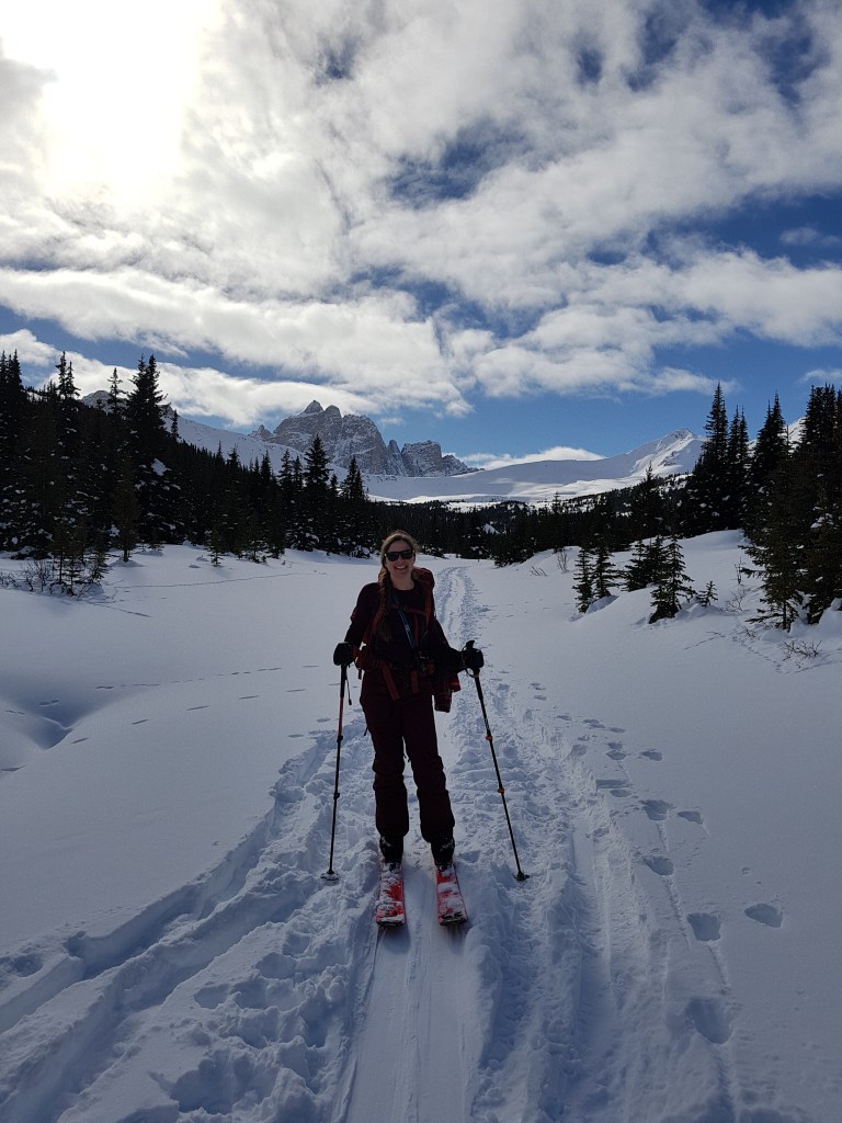
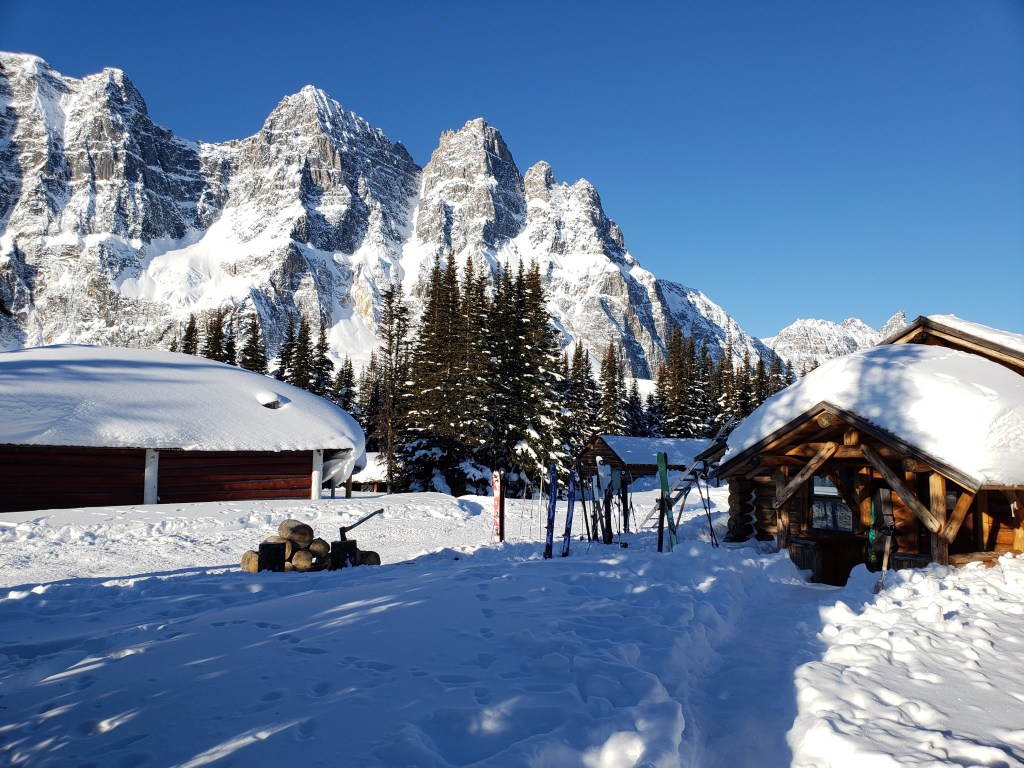
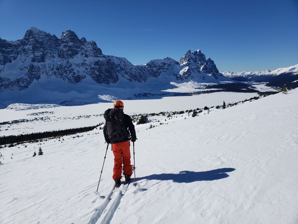
Winter access is no longer permitted in Tonquin Valley. I was lucky enough to join a group ski touring through Tonquin in March 2019, prior to expansion of caribou restriction dates.
Skiing in from Portal Creek, approaching Maccarib Pass and The Ramparts. I practiced my kick-turns to turn to face the photographer.Tonquin Valley Adventures was still in operation in 2019.Fresh tracks! Skiing the shoulder of Mount Clitheroe with frozen Amethyst Lakes in the background.Wates-Gibson Hut is still in operation as of 2023, but it is open only outside of caribou restriction dates.