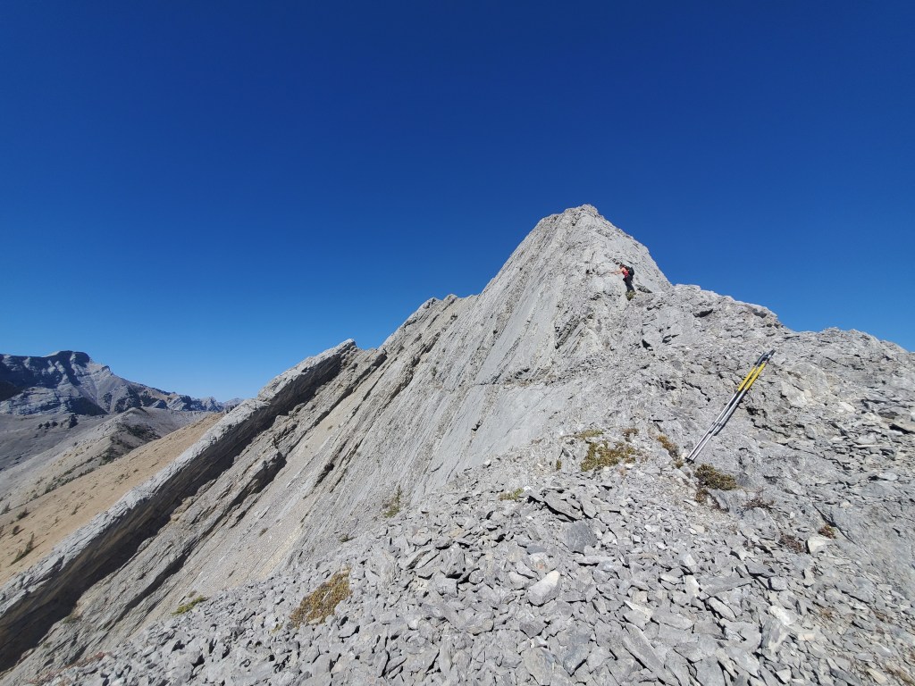
Notes: Low water levels required if crossing river. Short exposed section on summit ridge. Kananaskis Conservation Pass Required.
Trip Report
Mary Barclay’s Mountain is a short, fun one that is doable as a day trip from the Edmonton area. September 22 marks Kananaskis County’s Birthday and is celebrated with a free conservation pass! We took in the day with a scramble up Mary Barclay’s Mountain followed by a picnic lunch at Mount Lorette Ponds. For other days of the year a Kananaskis Conservation Pass can be purchased in advance online.
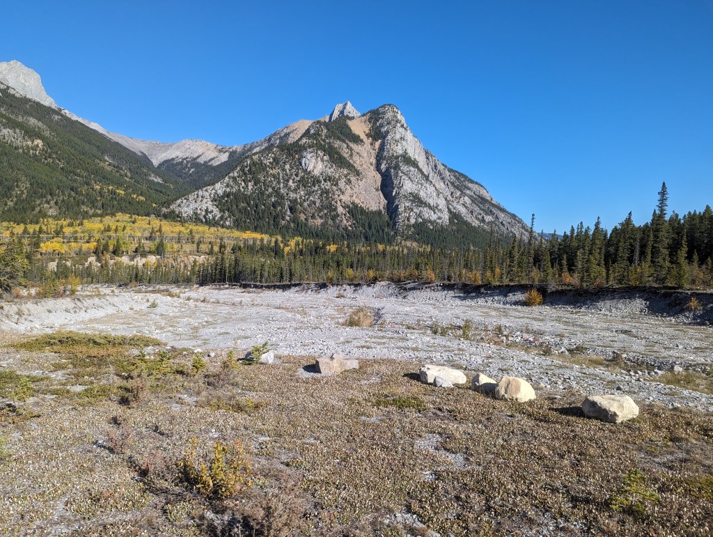
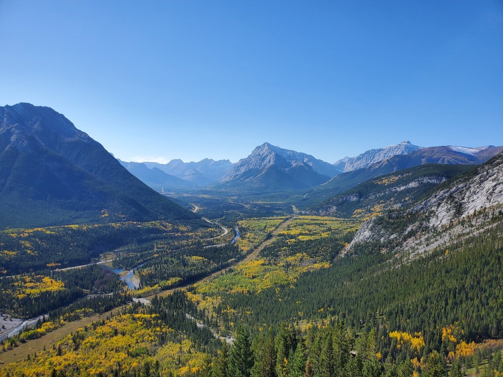
We parked at a gravel pull-out near Wasootch Creek and then followed the dried up creek bed downstream to the Kananaskis River.
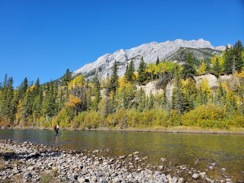
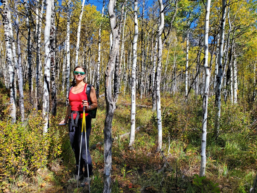
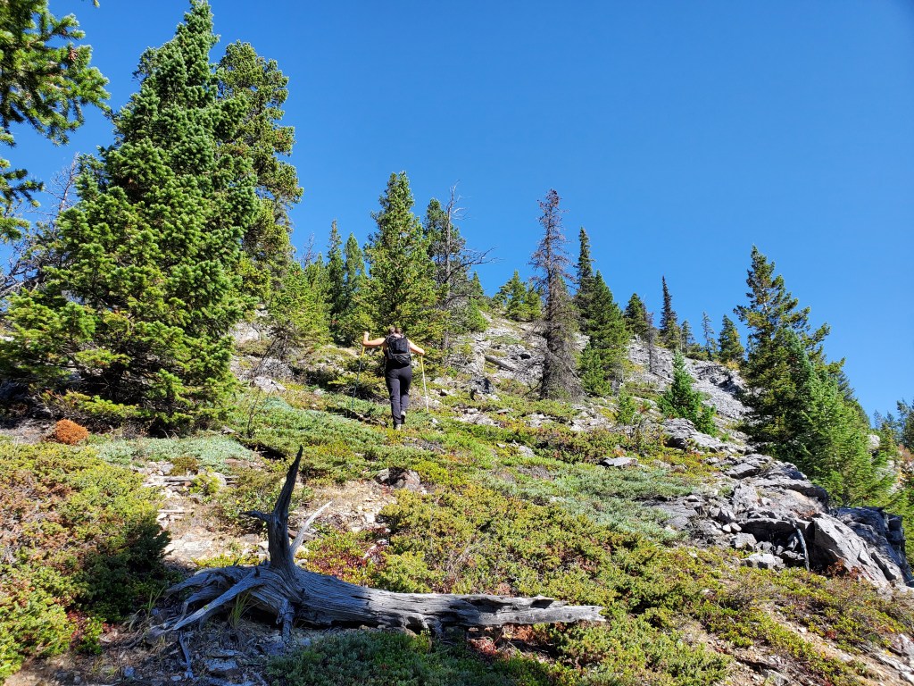
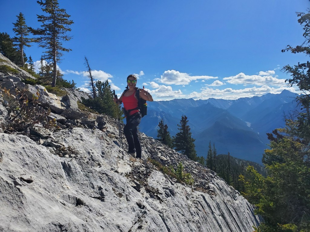
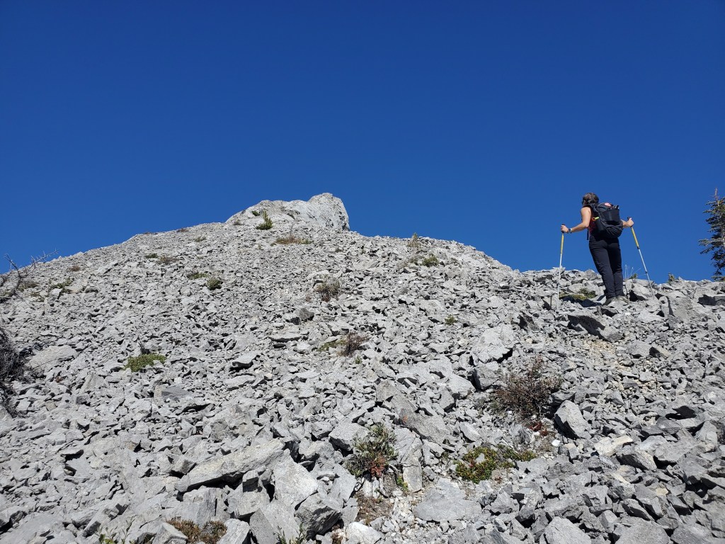
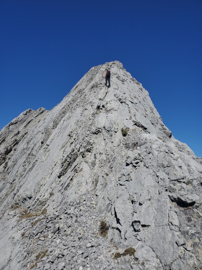
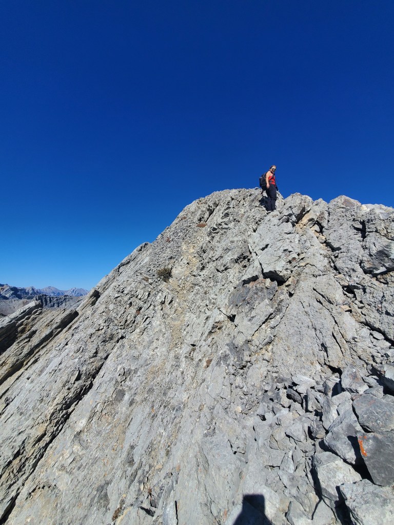
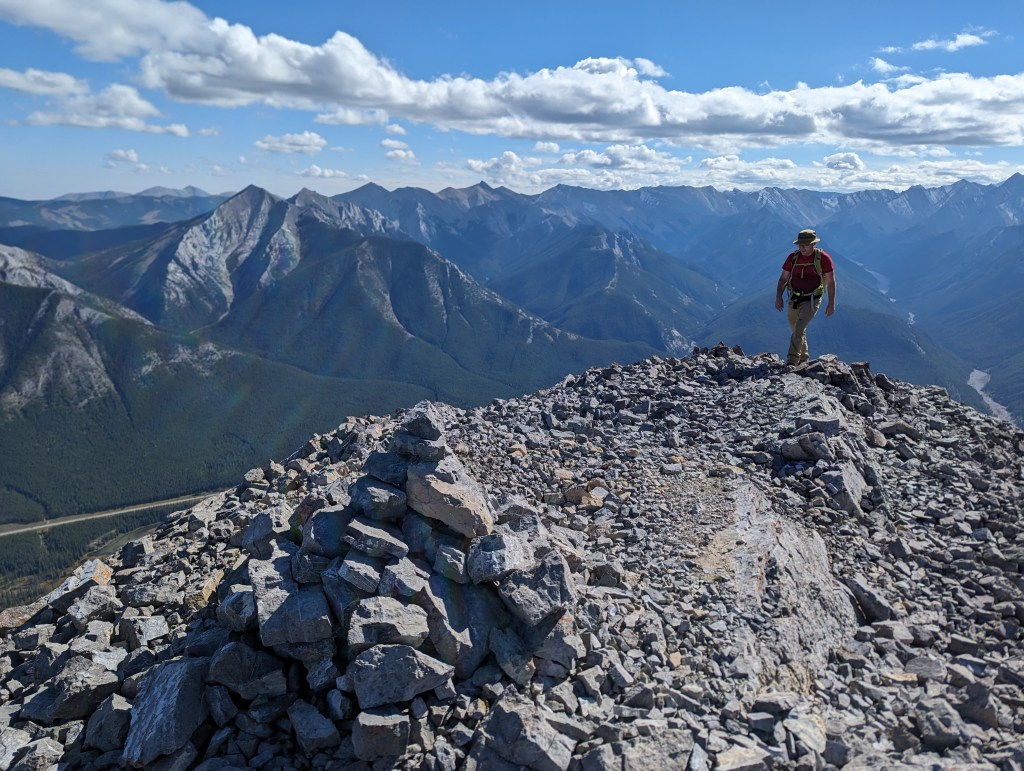
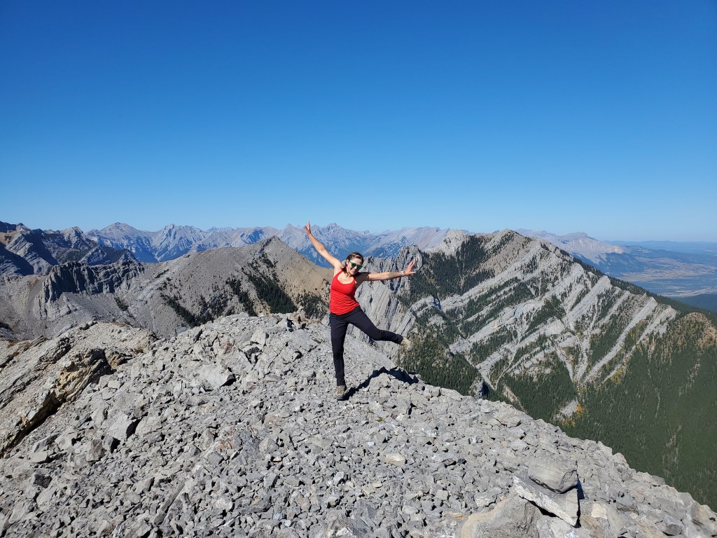
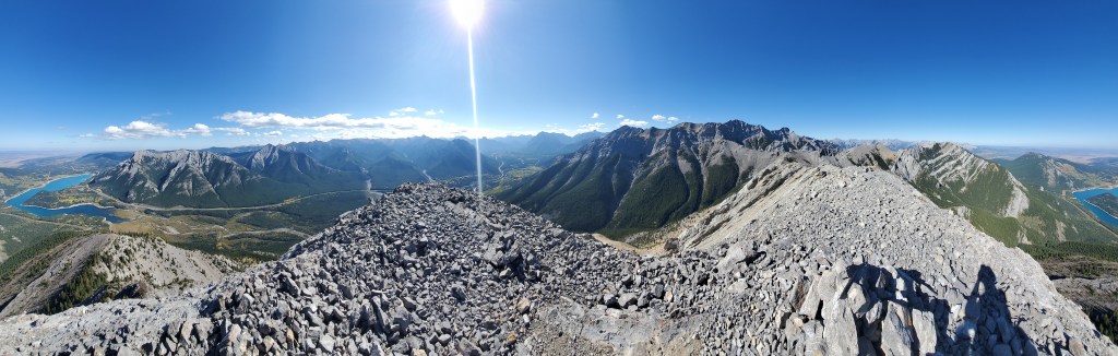
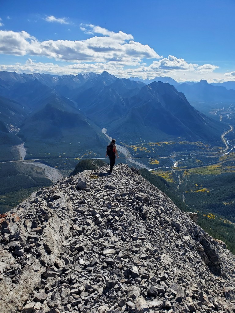
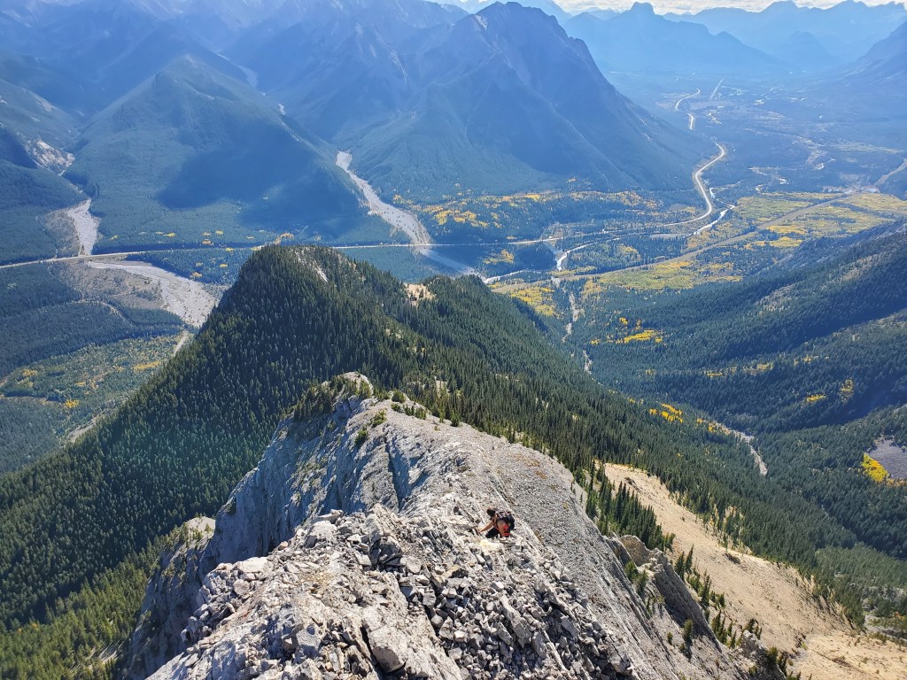
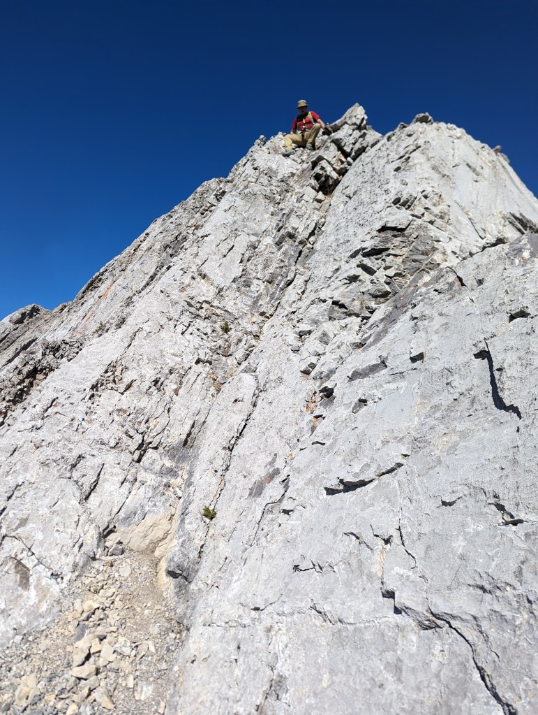
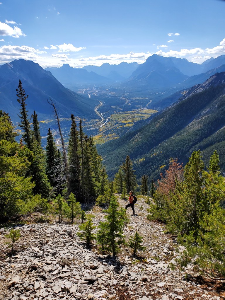
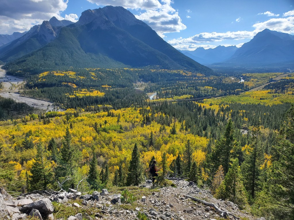
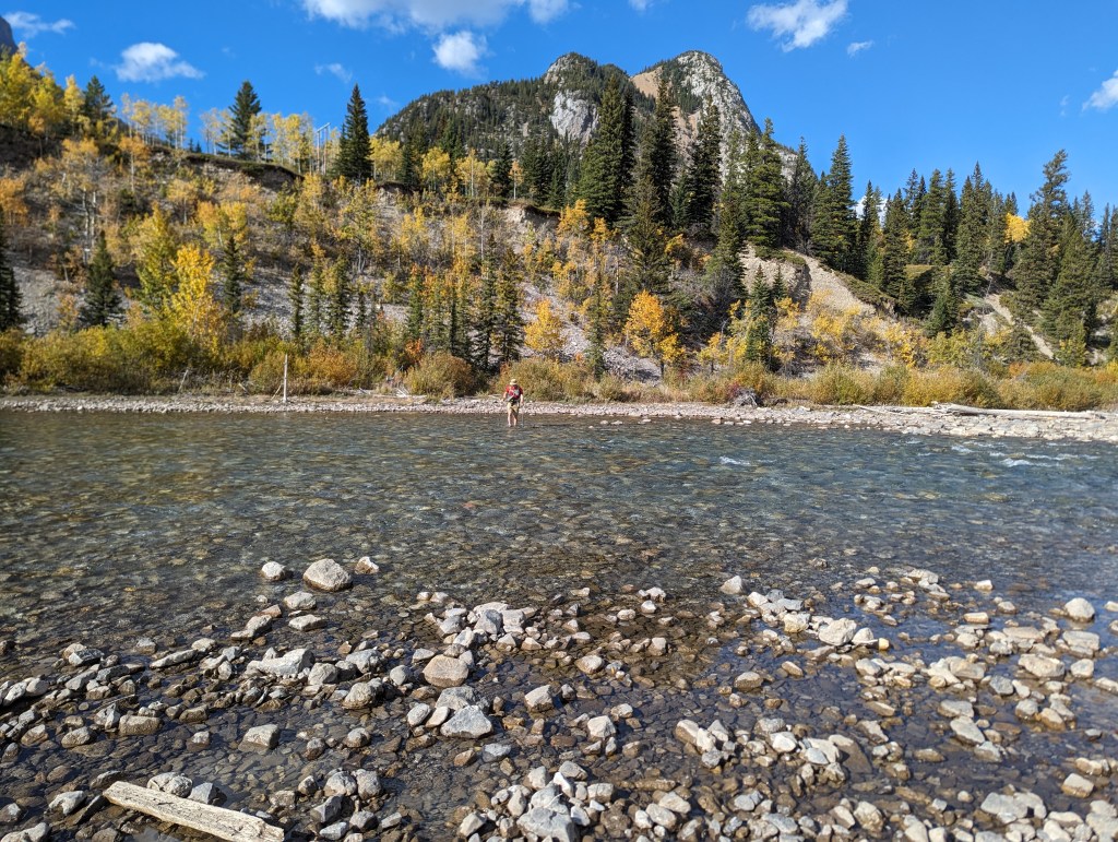
The first glimpse of Mary Barclay’s Mountain, as seen from the north side of the road. This dry creek bed leads to the river crossing. A powerline right-of-way can be seen running parallel to and above the Kananaskis River. A short section of bushwhacking is needed to get from the powerline to the left ridge of Mary Barclay.As of late September 2023, the river crossing was only knee deep. We crossed at a wide, shallow section, just before rapids. The photo above looks toward Mount Lorette.This short section of bushwhacking was sparse and easy to navigate.Once on the ridge, the trees thin out and the route gets a bit steeper. This is roughly where Dan realized he had lost his watch! We hoped to retrace our steps and find it on the way out.Looking back South over the Kananaskis River and The Wedge.Some fun, easy-to-moderate scrambling along the way.Finally out of the trees and nearing the summit ridge. A worn path leads through the scree.We left our trekking poles at the base of the summit ridge and scrambled the rest of the way using our hands. This portion feels a bit airy, putting it closer to the harder end of moderate scrambling. I would say that the moves and exposure are all still within the realm of moderate scrambling though.Continuing up the summit ridge.“Hey, you coming or what?”Dan follows up a section with fun stemming moves. This is probably the crux of the route.Reaching the summit of Mary Barclay’s Mountain, looking east.Peaks to the West, blue skies above!Mount Baldy (right) stands watch over Barrier Lake.Summit panorama.Beginning the descent.Downclimbing the crux of the airy summit ridge.Dan rocks his trademark move, the butt-scooch.Making our way back down towards the trees.Nearing the end of the ridge. We spent a good 30-40 minutes searching for Dan’s watch, but ultimately accepted defeated and continued on our way.Crossing back through the river. A branch propped up at the left, roughly the same height as Dan, seems to mark the easiest crossing.
We made it back to the road in 5 hrs 40 min (with 40 min of that spent searching in vain for Dan’s watch). Aside from a short stretch of easy bushwhacking between the powerline right-of-way and the start of the ridge, there was an OK trail to follow the whole way, as is typical for more popular scrambles. The airy summit ridge puts this at the harder end of moderate scrambling. I found the moves to be enjoyable in good conditions, but probably wouldn’t choose it for a windy day.
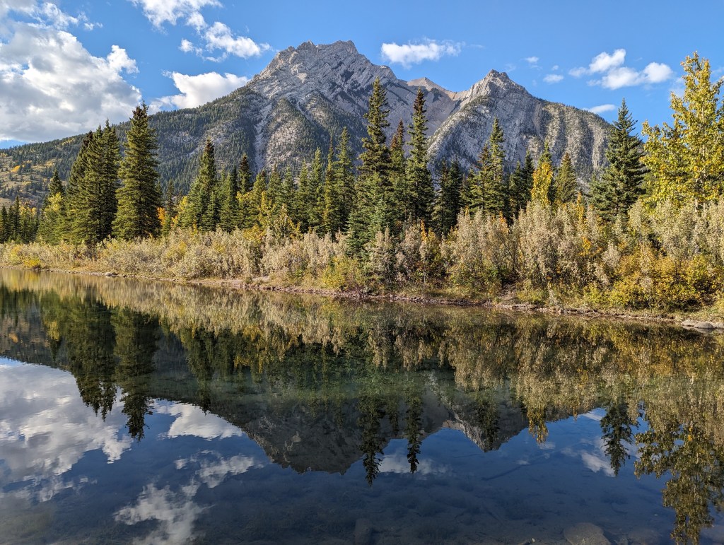
A post-scramble picnic at Mount Lorette Ponds. Mount Lorette is reflected in the nearly perfect mirror.