Summary
- Area: Canmore
- Trip Date: 2023 Jul 03
- Trip Duration: 6 1/2 hrs
- Elevation Gain: 1220 m
- Total Distance: 8.5 km
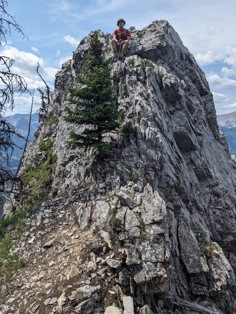
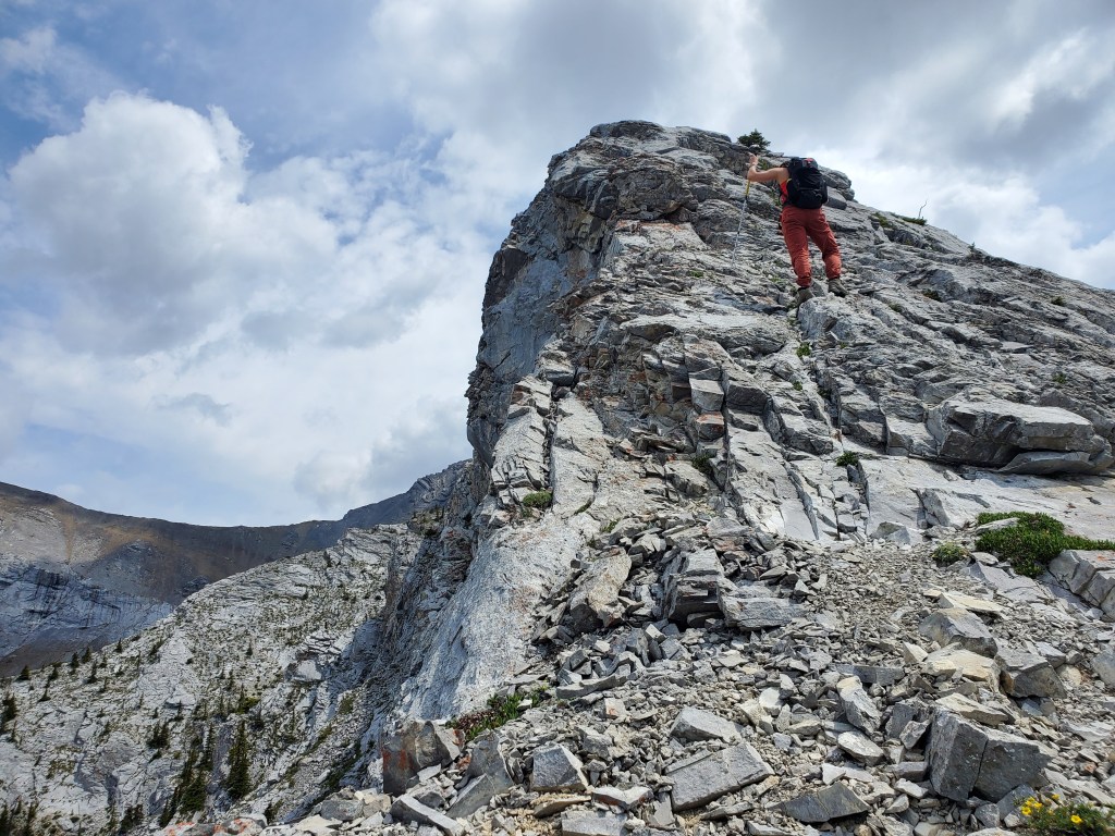
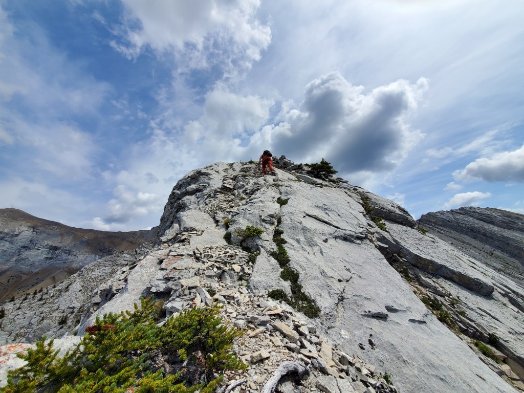
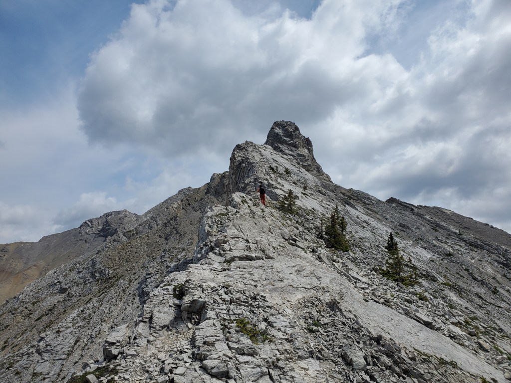
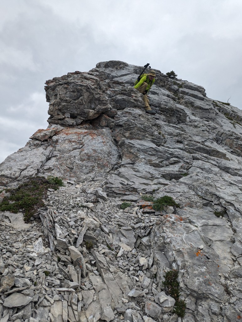
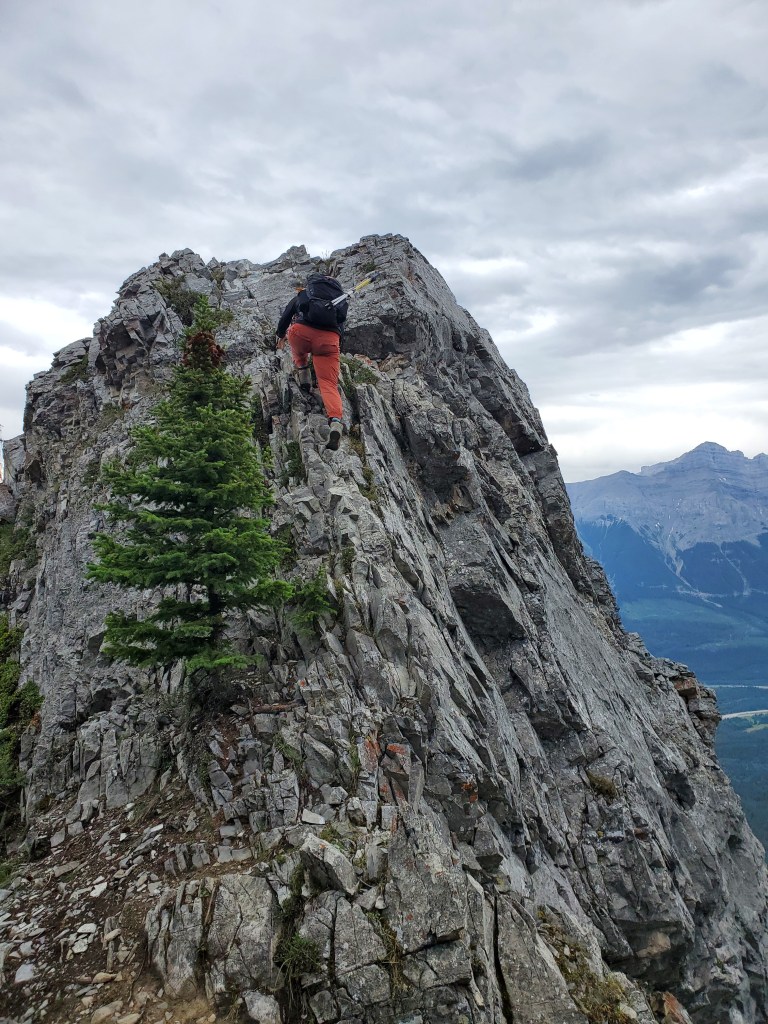
- Difficulty: Moderate to Difficult Scrambling
- Accompanied By: Dan
- Beta: Scrambles in the Canadian Rockies – 3rd Edition
- Notes: 2 km of bushwhacking shown, but can likely be avoided. Closer to difficult scramble rating along ridge.
Trip Report
This peak was officially named Anû Kathâ Îpa (Bald Eagle Peak) in 2021. Older printings of Scrambles refer to it by its unofficial name, The Tit. The unofficial name is no longer used and the name has been updated in newer printings.
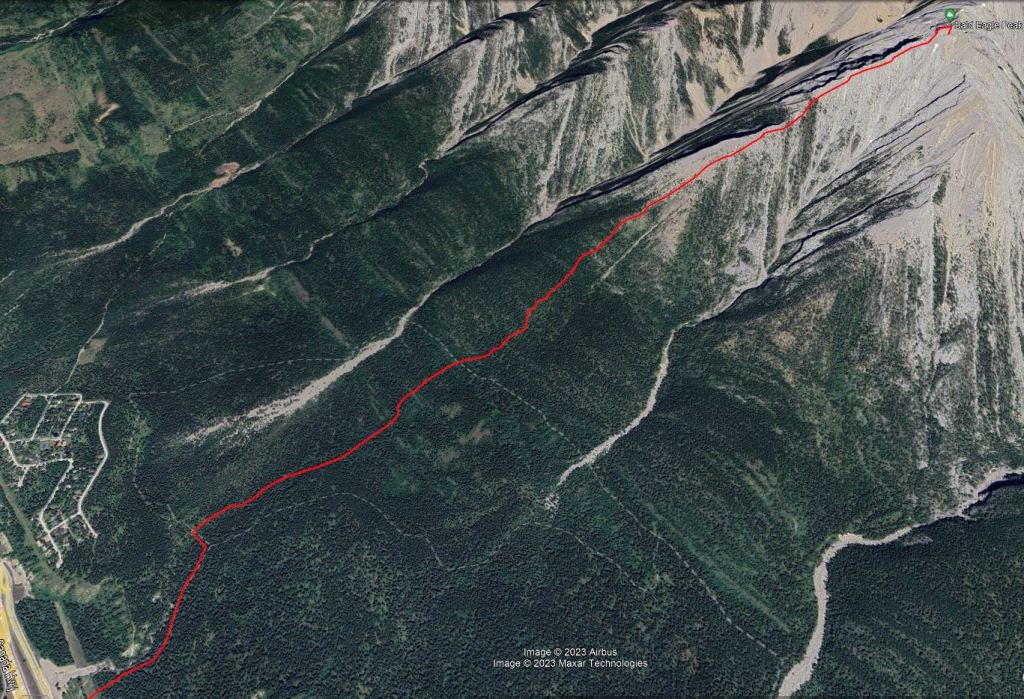
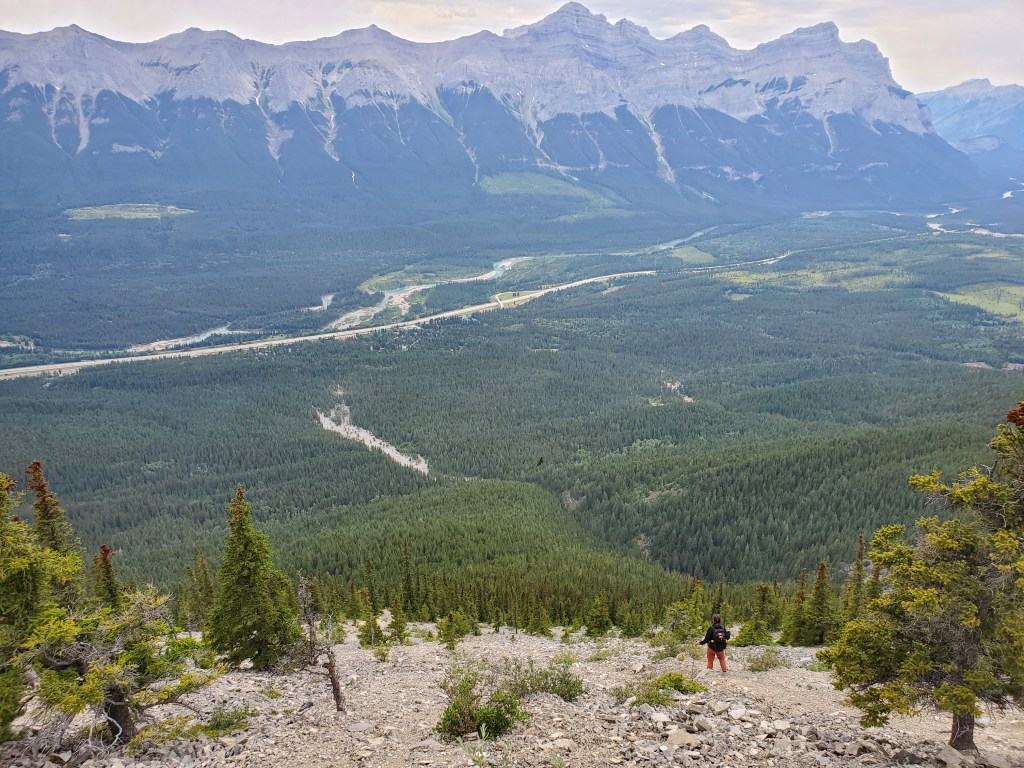
This route starts at the trailhead of the New Connector Trail (Meander Trail) and has a good parking lot. Following the directions in the book to “head through forest toward the peak, staying right of the drainage” had us starting on this trail, leaving the trail for 1 km of bushwhacking, and then crossing a wide, well-maintained trail again, kicking ourselves for not just staying on the trail. The well-maintained trail is identified on mapping as a mountain biking trail, Montane Traverse, which looks like it would meet up with Tibits Quarry Trail and/or Meander Trail. The bushwhack below Montane Traverse wasn’t too fun and I wouldn’t recommend it. Above Montane Traverse there is only a short, easy bushwhack section. If I did this again, I would use one of these mountain biking trails.
In the interest of simplicity, we brute-force bushwhacked our way directly back the way we came. The bushwhack has some mossy slopes and wet spots. It wasn’t that fun, but it’ll go.
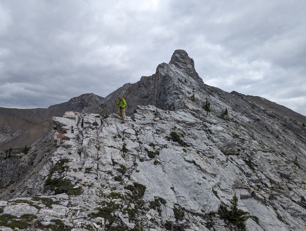
We reached the parking lot in 6 1/2 hrs, deciding next to calm our nerves with ice cream in Canmore. I enjoyed the scrambling portion of this one, but not the bushwhacking. Dan manages a phobia of heights and hates “surprise” difficulty, so didn’t particularly enjoy this one. I might bump the rating from moderate to difficult scrambling if following the ridge closely. There might be a more moderate bypass of the trickiest section, but the gentler slab off the ridge is still gravel-strewn.
