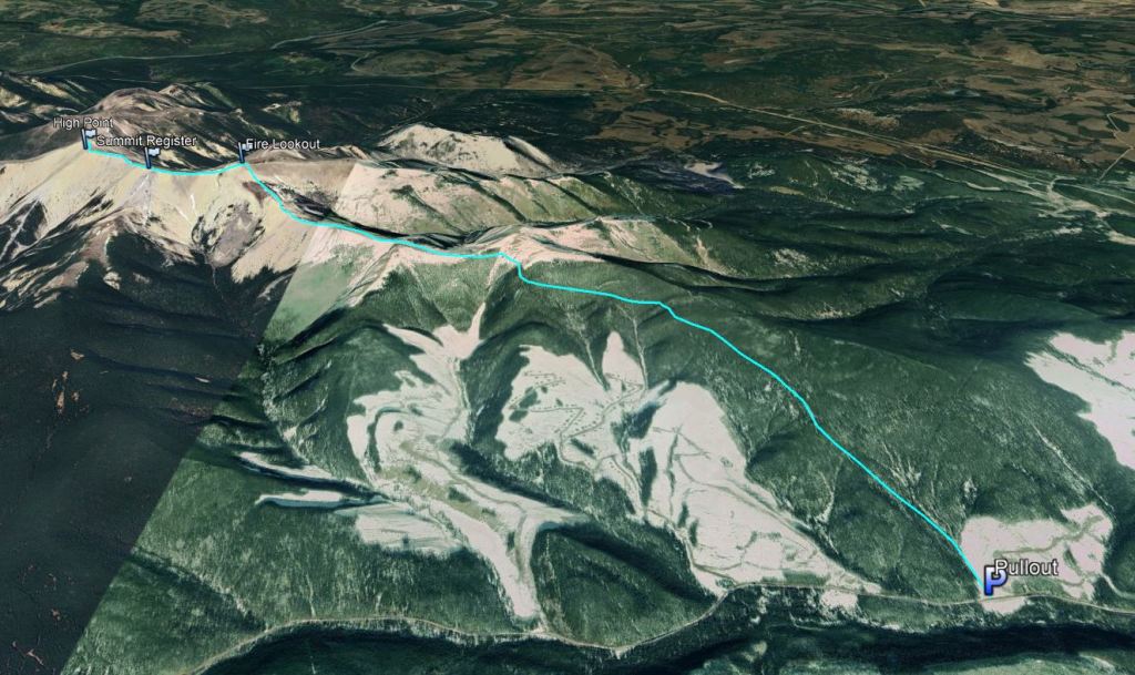
Notes: The trailhead is roughly half way between the 48 and 49 km markers on Northfork Rd
Approximate route, hand sketched for information only.
Trip Report
Ram Mountain is a good choice for shoulder season. One potential avalanche slope is crossed if taking the bypass trail to save on elevation gain and loss, but the main OHV trail, which leads directly to the fire lookout, avoids it.
Once at the trailhead, the rest of this hike was easy. I dropped a pin into Google Maps at what looked like the nearest road and then visually scanned for the trailhead once close. The trailhead was not well marked, but it’s accessible from a roadside pullout about halfway between the 48 and 49 km road markers on driver’s right (north). A large cut block meets the road, and once you’ve stepped a bit onto the grass and dirt you will see the ruts of a well-used OHV trail leading out of the clearing to the left (northwest).
Despite signs saying “No winter maintenance”, Northfork Road is a well-maintained gravel road, busy with logging trucks servicing recent oil and gas development. Be sure to park well off to the side as these trucks move fast – stick to obvious pullouts such as at this trailhead. The shoulder at the trailhead can accommodate about two vehicles, and there is another pullout a few hundred meters past this one if full.
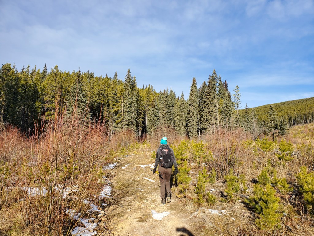
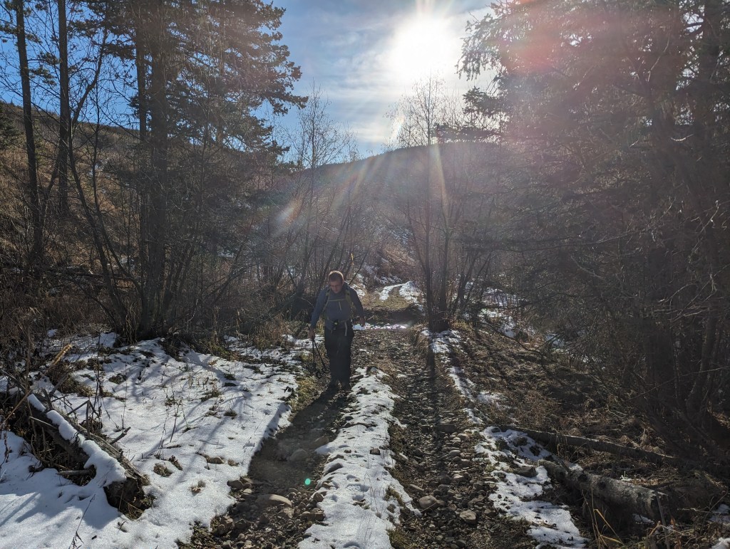
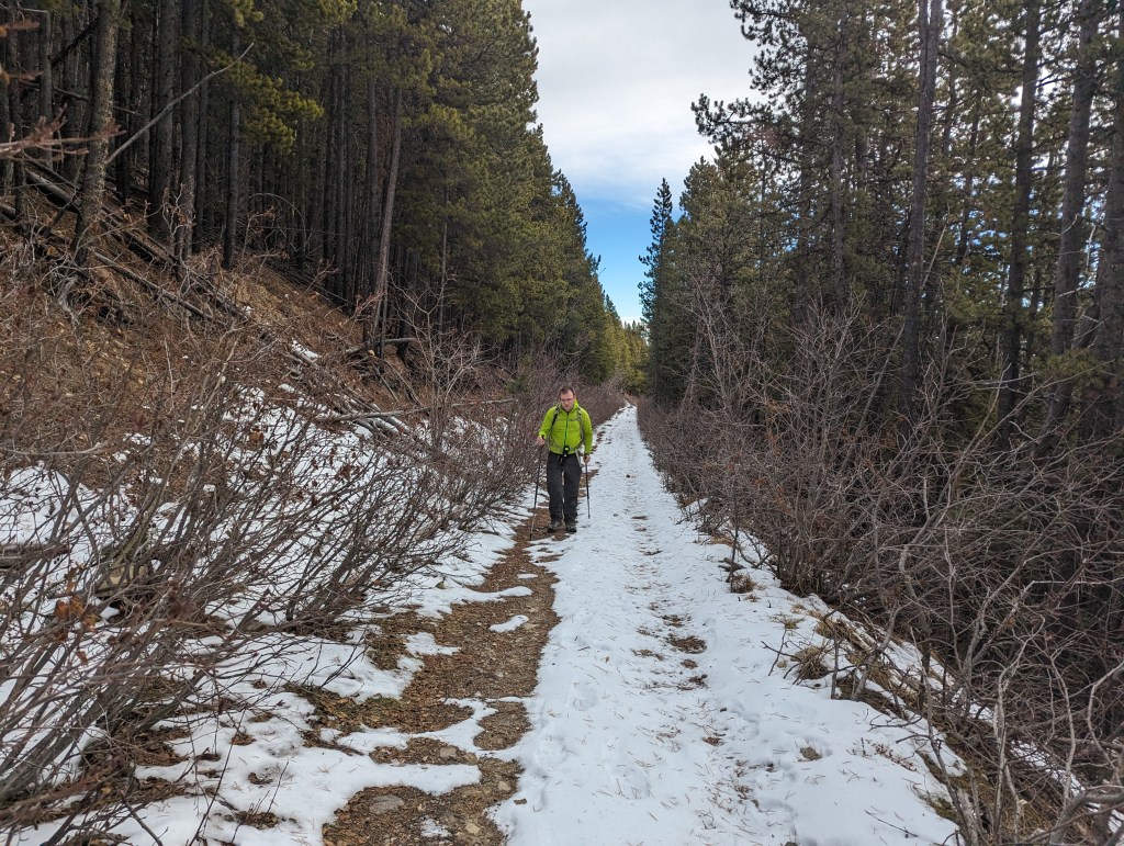
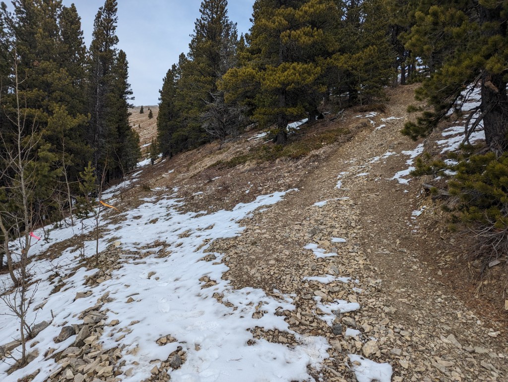
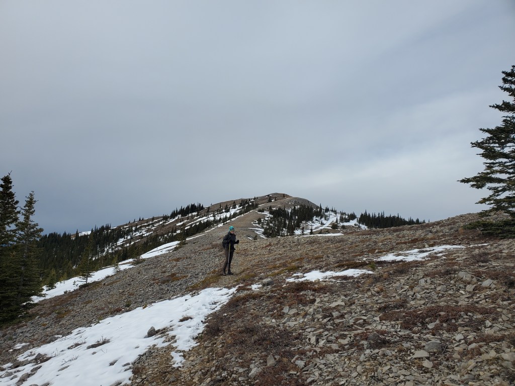
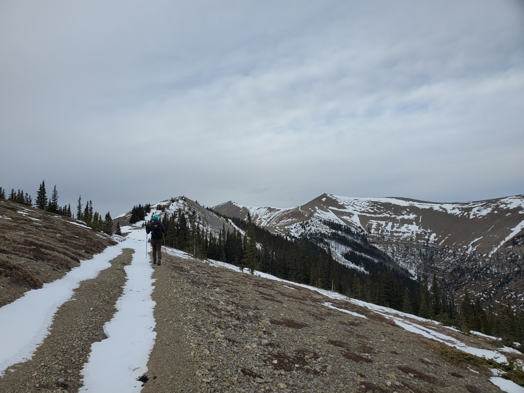
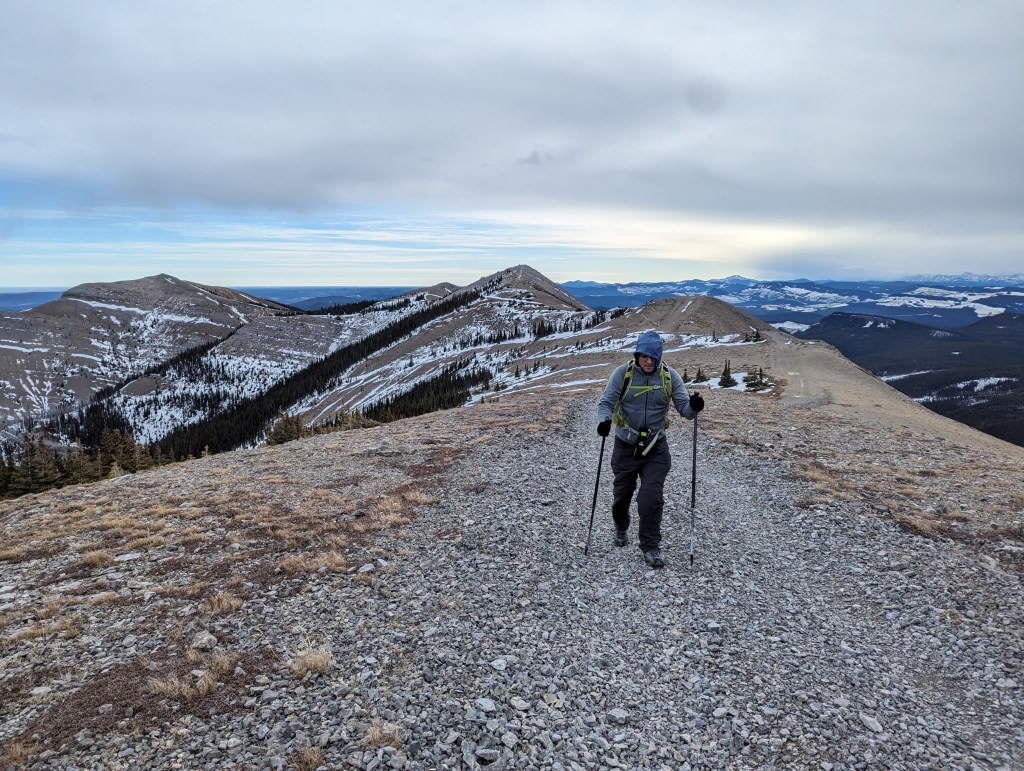
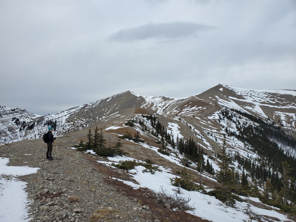
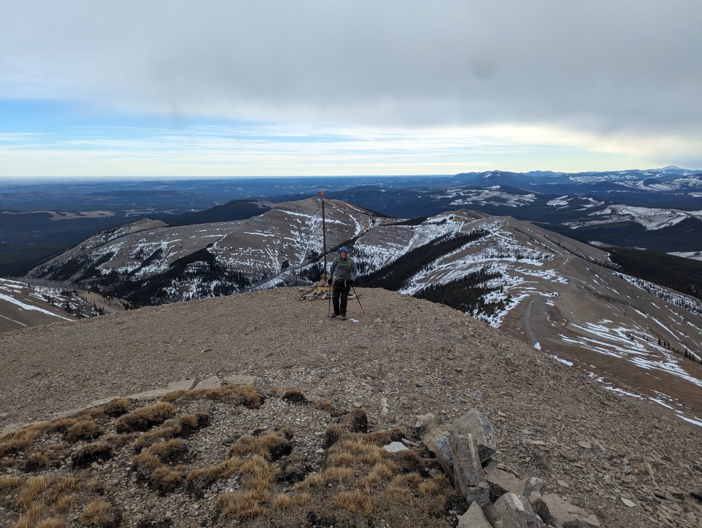
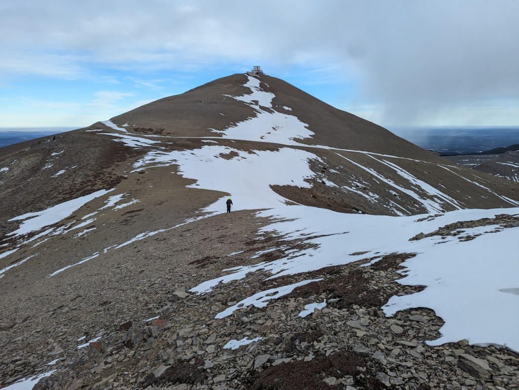
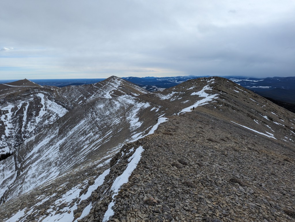
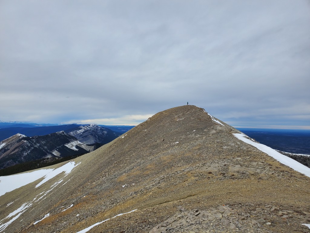
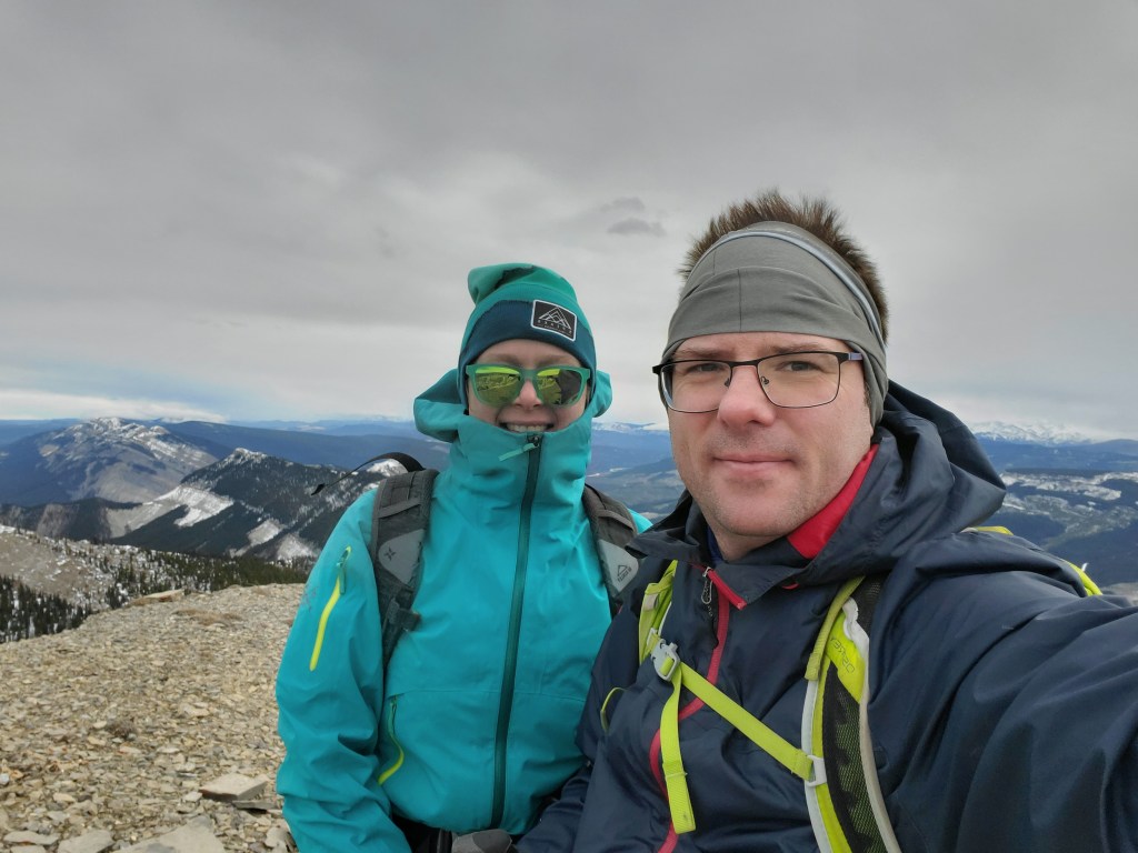
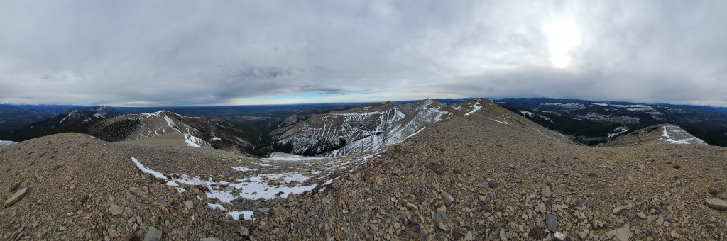
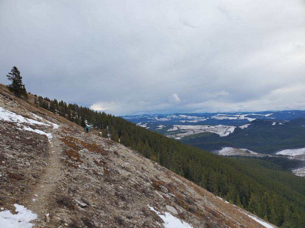
The trailhead is nondescript. There is enough space to park off to the side, out of the way of busy logging traffic.The OHV trail quickly becomes obvious once leaving the road.Some icy sections and frozen puddles were passed in the first few hundred meters, but the trail was in good condition beyond that. We packed spikes as a precaution but never needed them.The trail is fairly flat and sheltered by trees for about half the day, for which we were grateful. We were wishing we’d worn fewer layers here, but the cold wind on the ridge quickly changed our minds!At the edge of the trees we reached a Y in the trail. The OHV trail keeps right at the Y and follows the crest of the ridge. The hiking trail is off to the left. It is more direct, and bypasses unnecessary elevation loss and gain, but at the cost of potential avalanche exposure in snowier years.The OHV trail and hiking bypass met back up after a few hundred meters, at which point we continued along the ridge on the OHV trail again.We followed the OHV trail as it meandered along the winding ridge. The fire lookout is the high point in the center of this photo.Looking back at the way we came. The distant high point at center was bypassed by the hiking trail at the Y. Here the cold wind began to pick up, making us glad for our extra layers.Looking forward, the road can be seen winding around the lookout up ahead. A small firewatch structure stands at this high point, but was closed and secure for winter.Dan reaching the fire lookout. We walked directly up the steep, near part of the slope, rather than following the winding OHV trail over the col and around the back of the structure.We spent little time admiring the solar panels and grounding, eager to keep moving in the cold wind. Following the ridge in the background, we first visited the mound at the left and then continued on to the twin mounds at the right.Looking back at the fire lookout and road winding around it. We had approached from the right and tackled the slope directly. Beyond here there is no OHV trail to follow, but the route is obvious. Shallow snowdrifts presented no serious hazard, and we did not need our trail spikes, but care should always be taken in these conditions.Roughly 600 m beyond the fire lookout we reached the second high point. This one had a cairn and summit register, complete with this little green pal.We continued on past the summit register for roughly 900 m to the twin mounds. This photos is looking back from the final high point of the day. The fire lookout is to the left, the summit register is on the mound just left of center, and one half of the twin mounds is to the right (I am standing on the other twin mound).Looking forward, I am standing on the final high point visited this day.Within the measurement limitations of my GPS watch, the twin mounds are the peak of Ram Mountain. My watch measured the lookout to be at an elevation of roughly 2141 m, the summit register to be roughly 2168 m and this third high point (The twin mounds) to be roughly 2179 m. The view is about the same at all three points. Unless you are keen to bag the true summit, you can probably turn back at any high point you like.Summit panorama. The views don’t change a great deal between high points, to be honest.Returning along the bypass route, thankful to be almost at the trees and out of the wind. If snow-covered, this line across the slope would be in avalanche terrain. The OHV trail would likely still go, at the evaluation and discretion of the user.
Once back in the warmth of the trees, it was a pleasant hike out. We made it back to the road in 5 1/2 hours. We were surprised to encounter two other groups on this relatively unknown trail. The fire lookout seems to be the main attraction. No one followed us beyond there.
We stopped in Rocky Mountain House for dinner and then made it back to the Edmonton area in time for bed. Ram Mountain made for a worthy winter objective and makes a nice excuse to get out and stretch the legs.