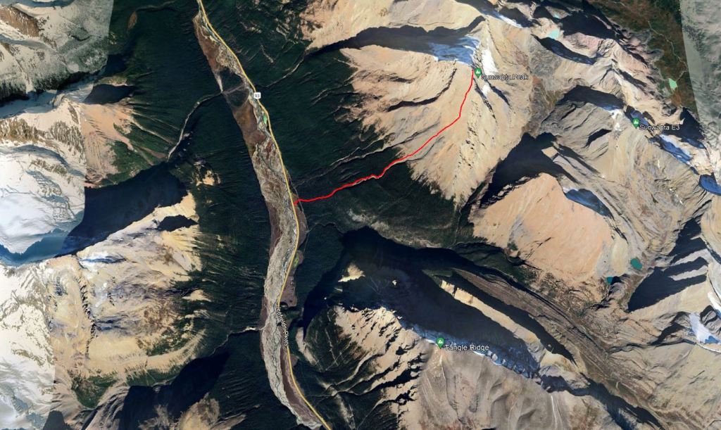
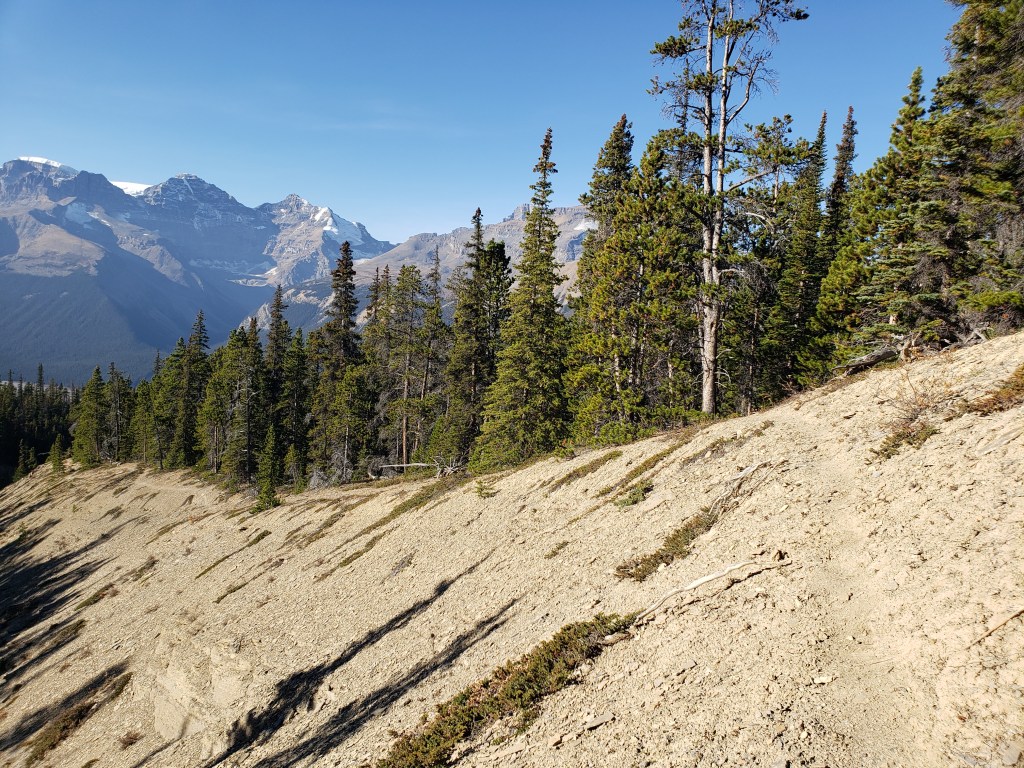
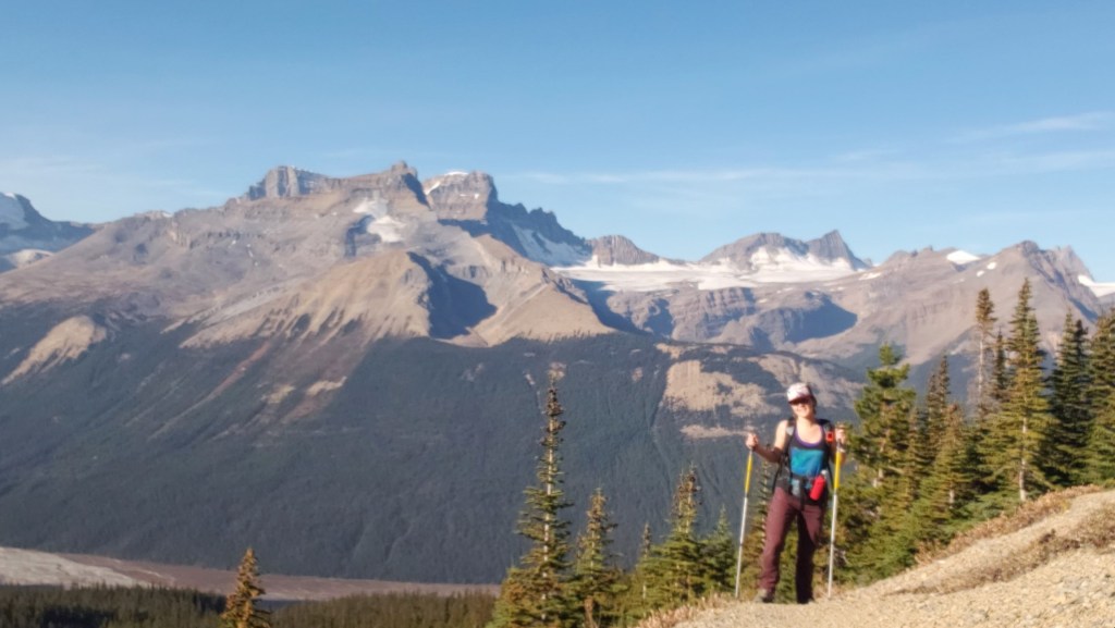
Being only a few meters shy of an 11,000er, Sunwapta Peak comes with significant elevation gain. I had expected a long, tedious day, much like neighbouring Poboktan Mountain, but was pleasantly surprised to find that this route heads directly up on easy scree. There wasn’t very much variety to the route – basically a ramp to the summit – but the awe inspiring views of the surrounding glaciated ice giants distracted my mind from the task at hand and made the elevation gain pass quickly.
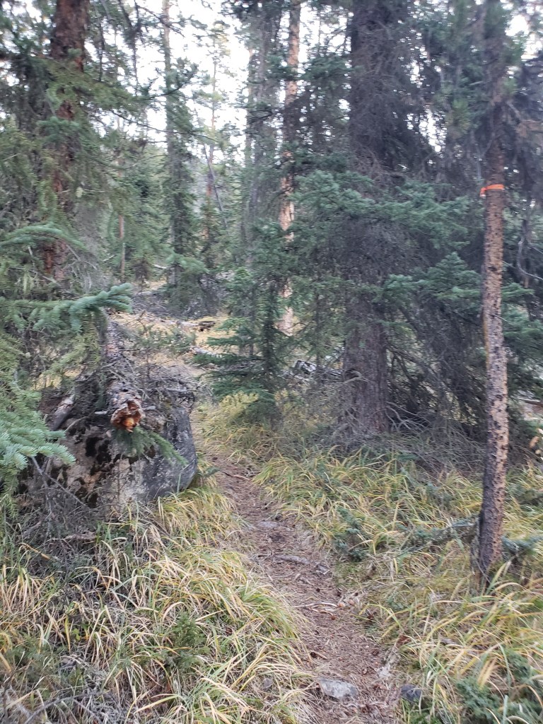
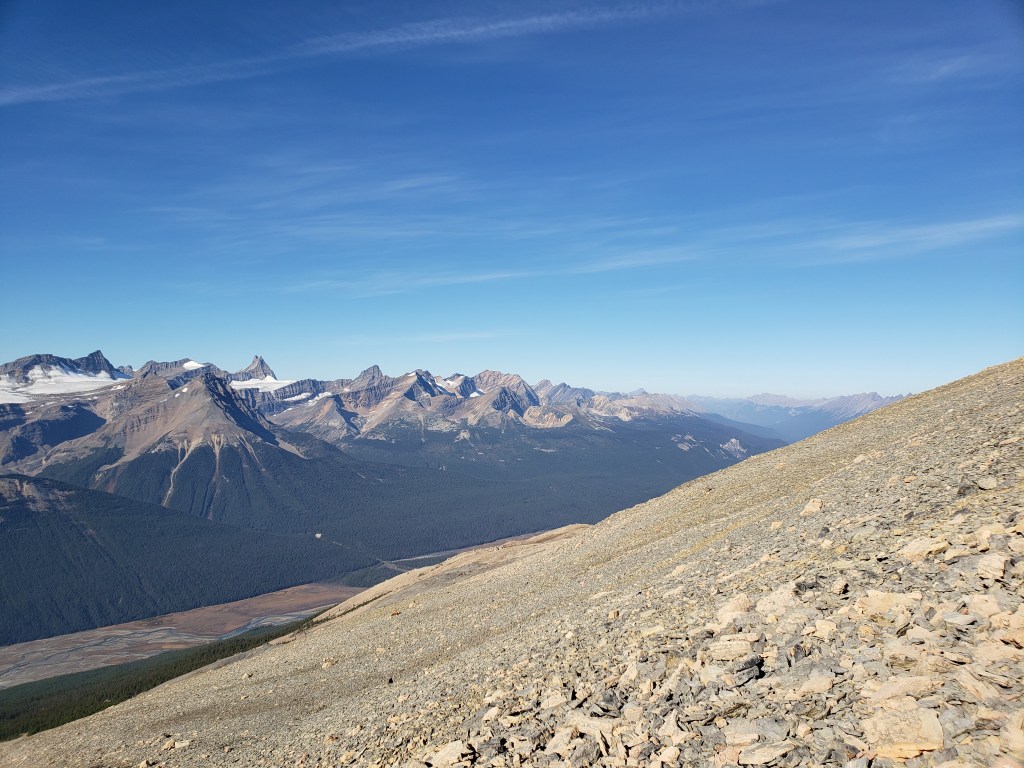
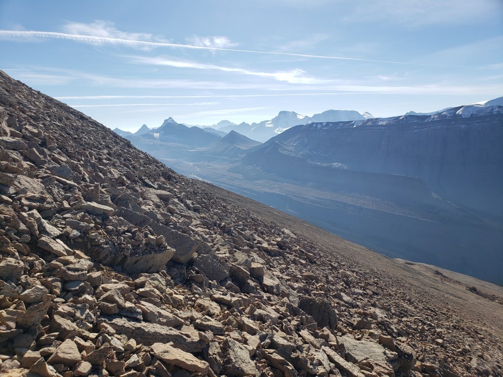
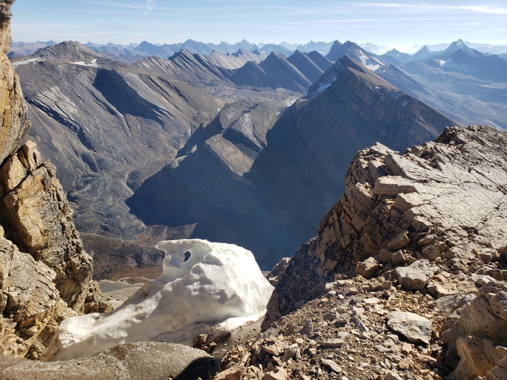
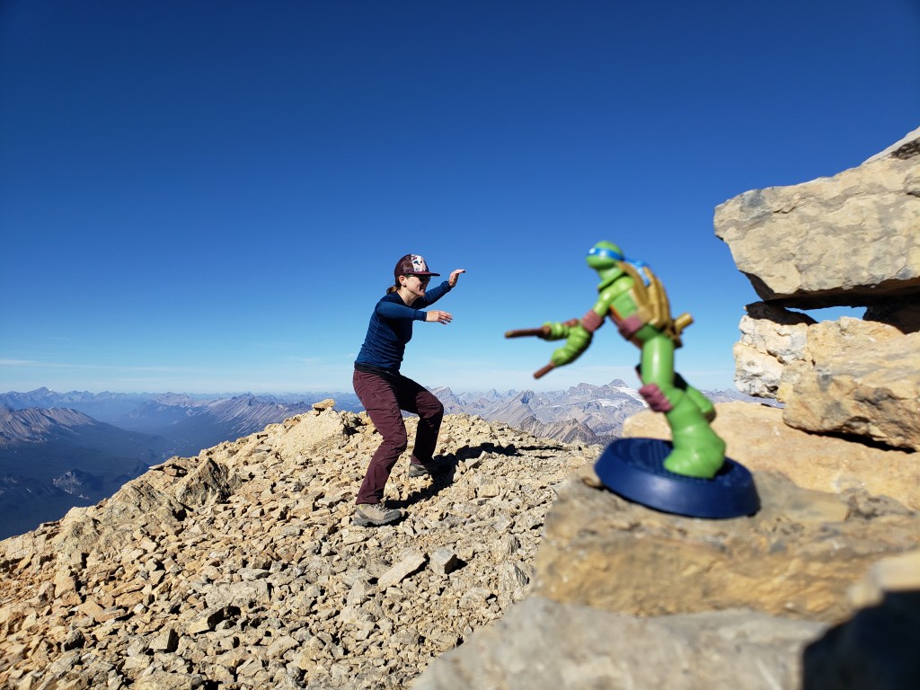
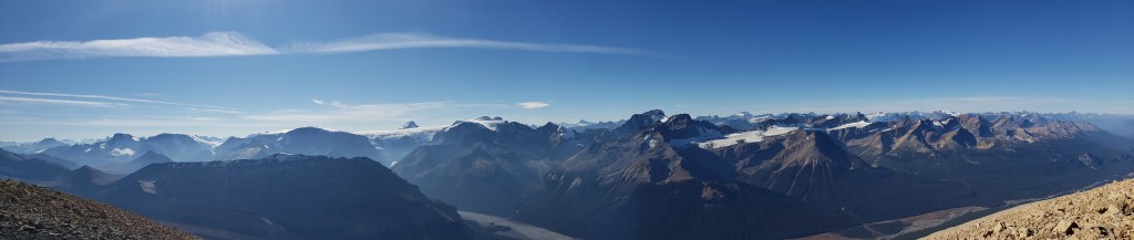
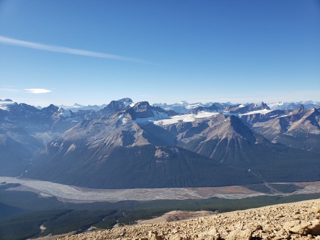
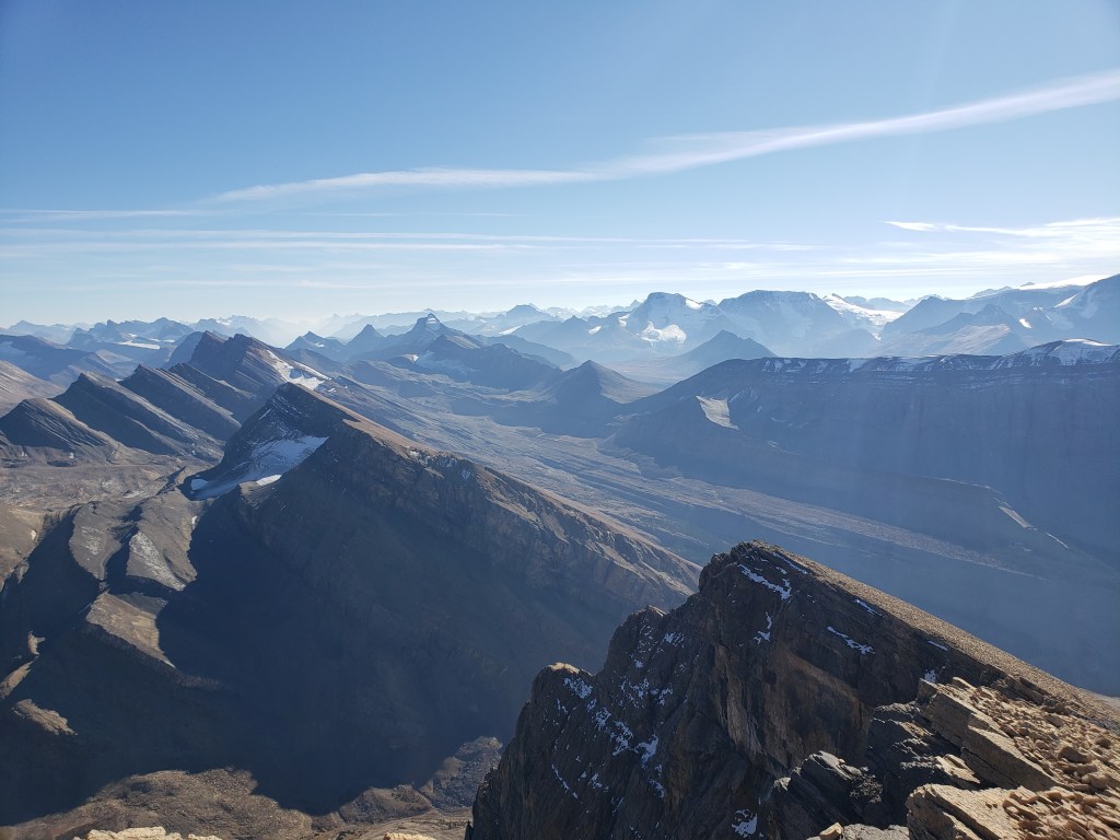
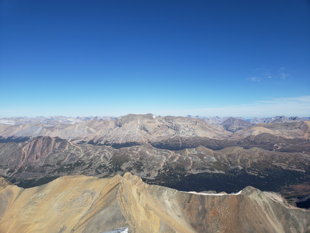
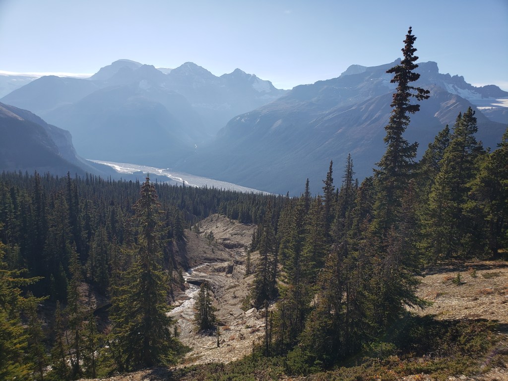
Parking is shared with the trailhead for Beauty Creek and Stanley Falls. Rather than following the well-trodden gravel path to the falls, I rock-hopped across a pond and then headed into the trees where I picked up the correct trail.Looking back, the trail follows a large drainage up through the trees.Treeline was reached in about an hour and a half, at which point views opened up to the surrounding icefields.This slope is typical of most of the ascent. Looking left (Northwest): Mt GEC, Mt Smythe (The prominent pointed horn left of center), and Gong Peak are among the surrounding mountains.Looking right (South): Nigel Peak and Mount Athabasca. Tangle Ridge blocks the foreground to the right.Finally breaking the crest of the summit ridge, nearing the top! Gazing through a notch in the ridge, I caught a glimpse of Chilly Peak (left) and The Claw (right).Palling around with Leonardo at the peak of Sunwapta.Summit panorama.The immense height of Sunwapta Peak provides an impressive vantage point over the icefields. Massive, glaciated peaks continue on further than the mind can believe. The tall cluster of peaks, just left of center, is Mt Woolley, Mt Alberta, and Diadem Peak.Another view South, this time from the peak. The Claw (left) and Tangle Ridge (right) are in the foreground. In the background are Nigel Peak, Mount Athabasca, Mount Andromeda, and the toe of Mount Kitchener.The view to the East is unsettlingly snow-free for October. Pobokton Mountain is the distant high point at center. The next closest ridge is Waterfall Peaks.After taking in my fill of views from the peak, I returned the way I came, following the same drainage back out.
I made it back to the road in 7 hrs, which was faster than I expected considering the elevation gain. There were no real difficulties on this trip, only dazzling views. I would recommend this peak to a friend and might even join their trip to repeat it.