Notes: Miette Road closes for Winter. The scrambling was easy, but the moderate rating is fair considering the bushwhacking and route finding.
Trip Report
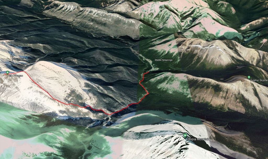
The route to Mount O’Hagan starts and ends at Miette Hotsprings, an excellent place to unwind after a cold, wet day of hiking. We made sure to arrive before the hot springs opened for the day as the parking lot tends to fill up.
Mount O’Hagan and Utopia Mountain share a common approach trail along Sulphur Creek. Nearingburg and Coulthard goofed and identified this as Utopia Creek on the description for O’Hagan, but correctly identified it as Sulphur Creek on the description for Utopia. The right-turn for O’Hagan is roughly half a kilometer further up the creek than the left-turn for Utopia. What O’Hagan lacks in exposed scrambling it makes up for in bushwhacking. It was still a good day out and the bushwhacking wasn’t terrible, just damp.
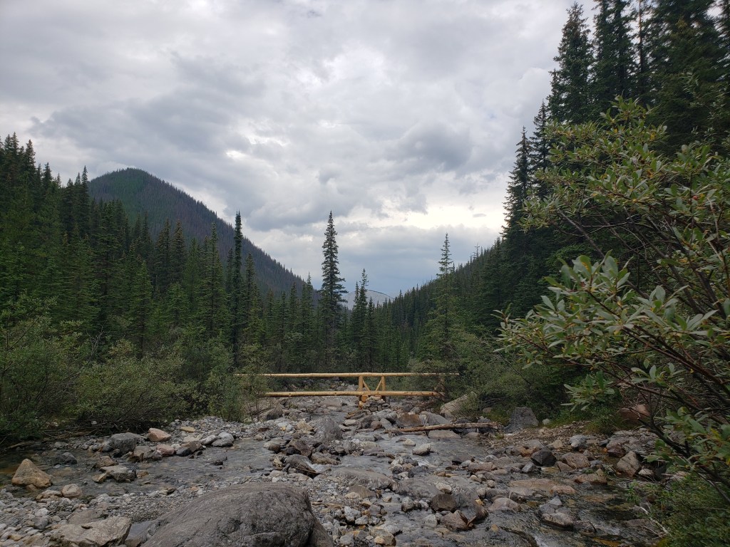
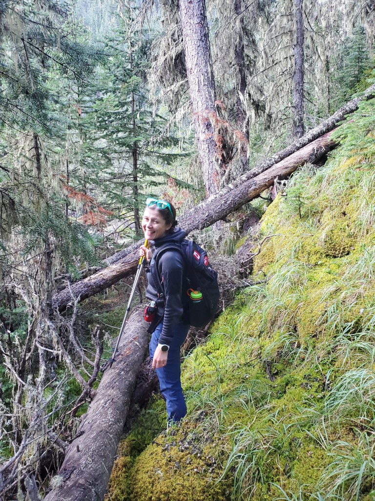
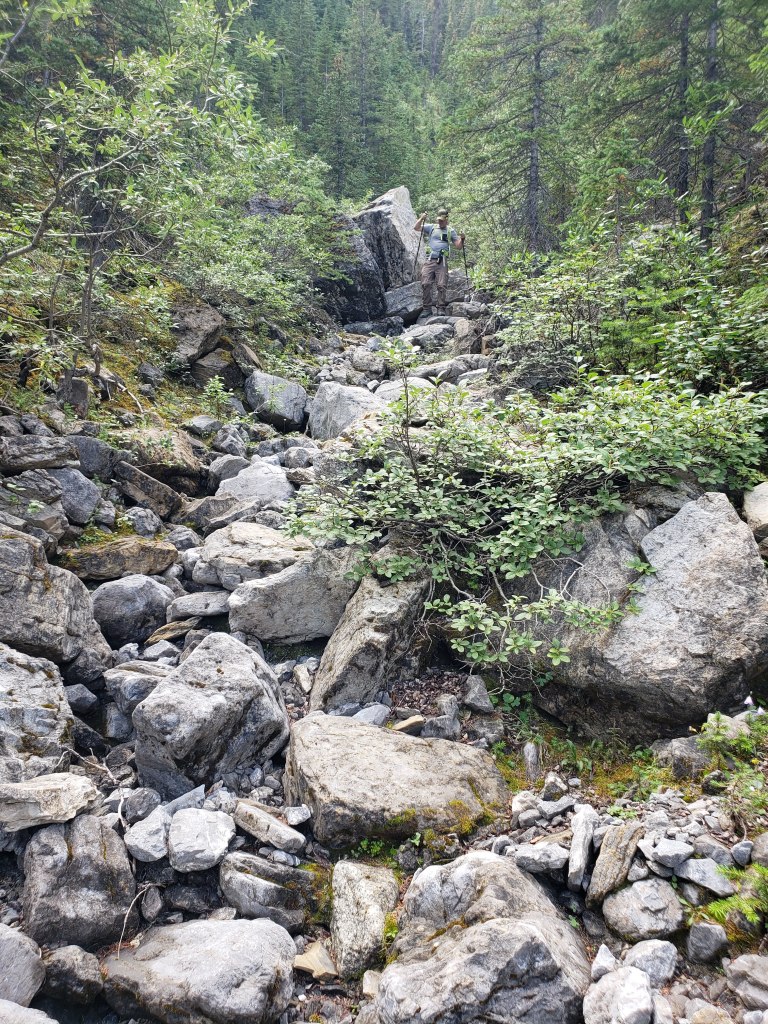
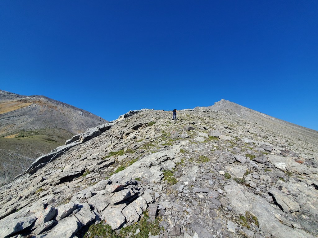
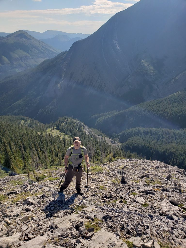
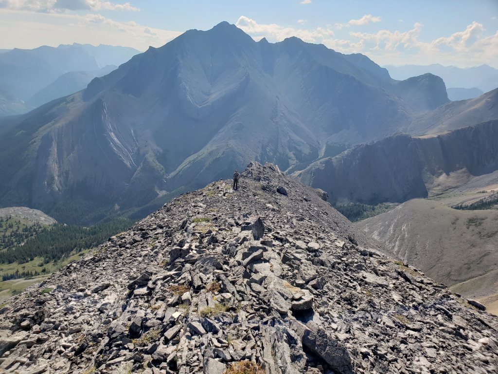
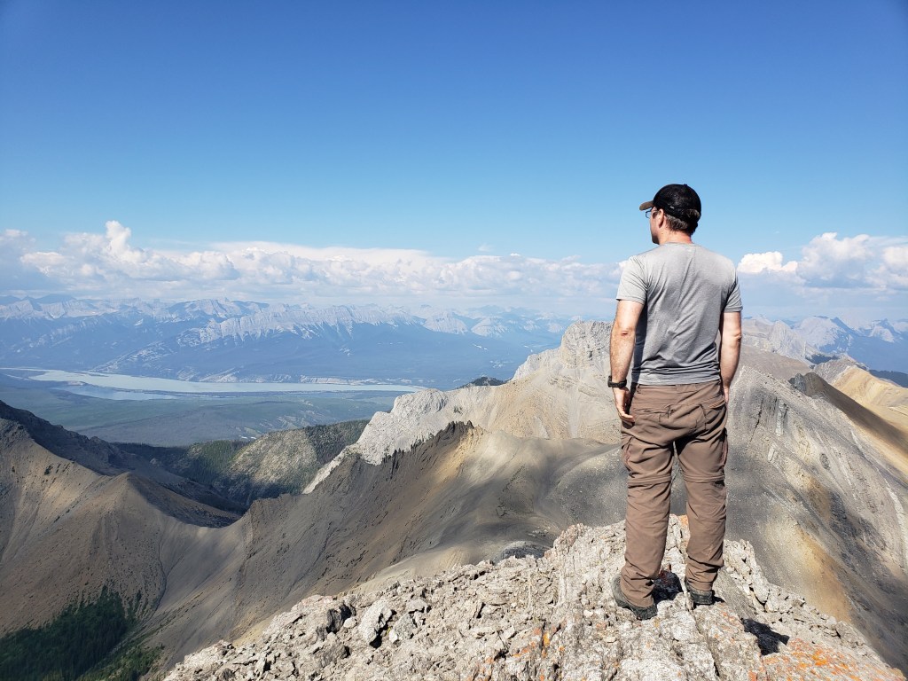
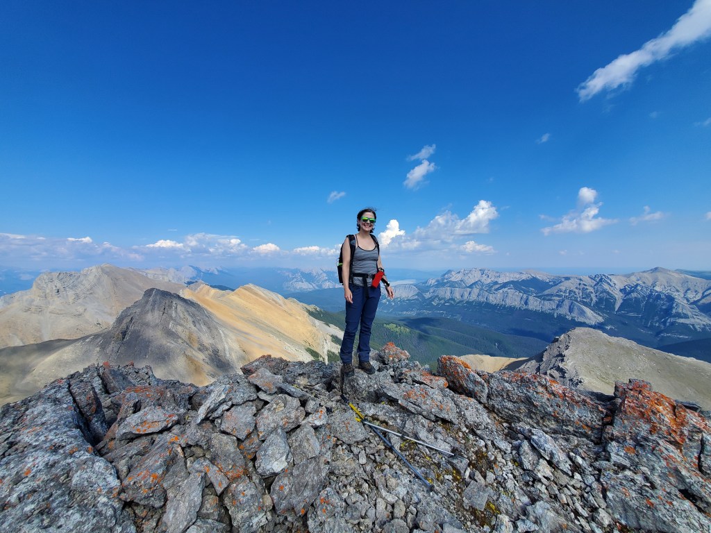
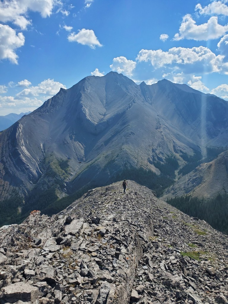
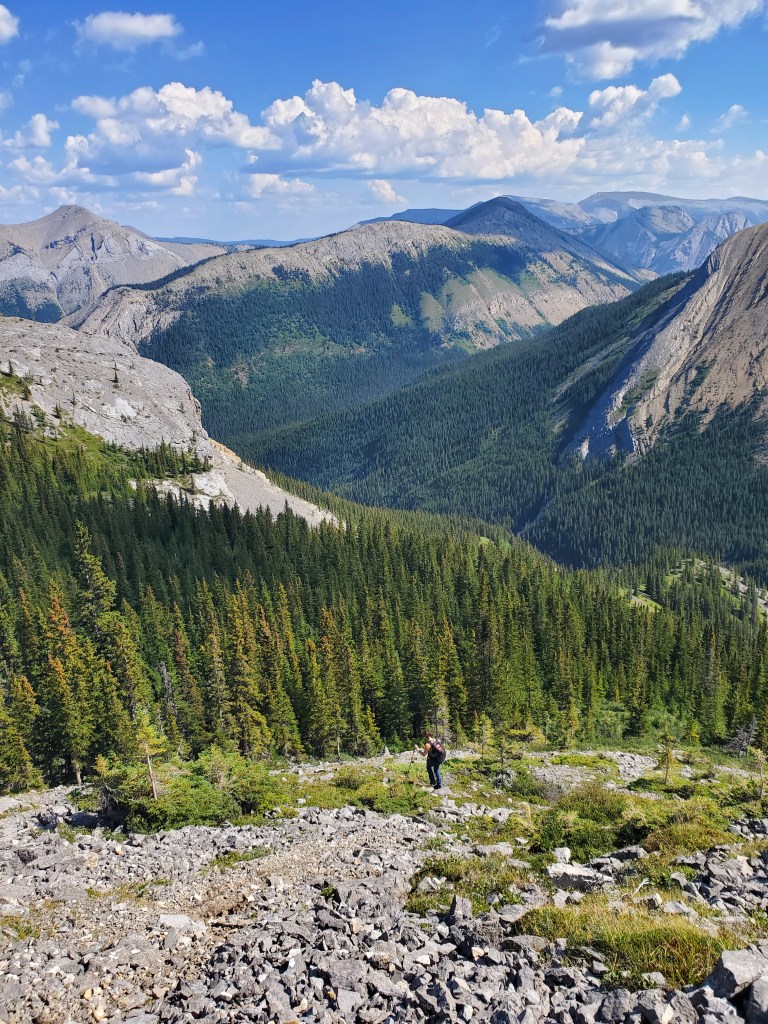
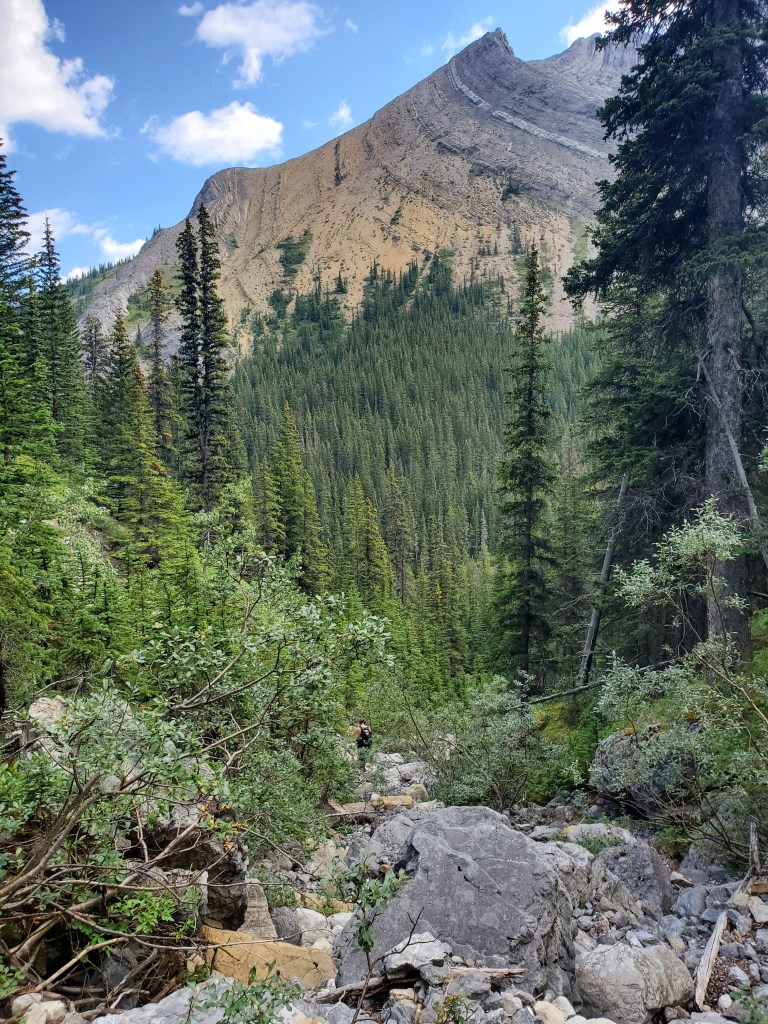
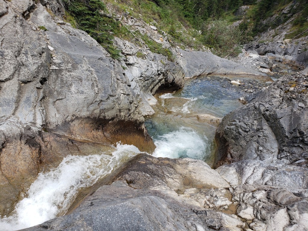
Walking along Sulphur Creek. The easiest line seemed to follow the right (west) side of the creek until this bridge, and then the left (east) side of the creek the rest of the way to the turn-off. The rocks in this creek are slimy and slippery, making for poor rock-hopping. I had already slipped and had wet feet all day when we did Utopia Mountain a few years earlier, so I preferred to stick to the shore on this trip.Typical Jasper bushwhacking. We explored both sides of the creek and this photo is the less preferred side.We continued along Sulphur Creek beyond the turn-off for Utopia. At a large waterfall (~20 ft tall, not pictured) the easiest bypass was around to the left. The turn-off to O’Hagan is just past the enchanting little waterfall pictured here. We will be turning right shortly.The right-turn took us up this drainage, which we followed as far up as we could. At a cliff, we detoured left and then bushwhacked the remaining distance up to the ridge.Once on the ridge the route was clear. The scrambling was never beyond easy.Looking back at the approach. Utopia Mountain rises in the background.The remaining ridge walk to the peak soon comes into view.Looking back at Utopia Mountain. We had ascended from the trees to the left.Dan stands at the peak of O’Hagan with views over Jasper Lake to the east, at the opposite end of the Miette Range. Mount Greenock and its parent mountain, Roche de Smet, can be seen across the lake.Views to the northeast are of Capitol Mountain (left) and Ashlar’s Ridge (center-right).Returning the way we came, heading southeast along the ridge of O’Hagan.We ducked down the left side of the ridge, back towards the drainage. Sulphur Skyline is the ridge at center, with the lookout in shadow.Descending back into the drainage at the cliff.The drainage is rocky with bushes, but travel is relatively easy.Back at Sulphur Creek, we returned to the east side of the creek to bypass waterfalls and then followed the edge of the creek back to the hotsprings.
The rain forecast for this day never materialized and we finished the hike-out in sunshine, but the hike in was still quite damp from dew. The lack of technical terrain and good tree cover made this one a good choice for inclement weather. We wrapped up the day with a leisurely soak at Miette Hotsprings. Towels and swimsuits can both be rented if needed, and there is even a small bistro to grab a treat.


One thought on “Mount O’Hagan (2446 m)”