Summary
- Area: Crowsnest Pass
- Trip Date: 2022 Jul 03
- Trip Duration: 3 hrs
- Elevation Gain: 680 m
- Total Distance: 7 km
- Difficulty: Easy Scrambling
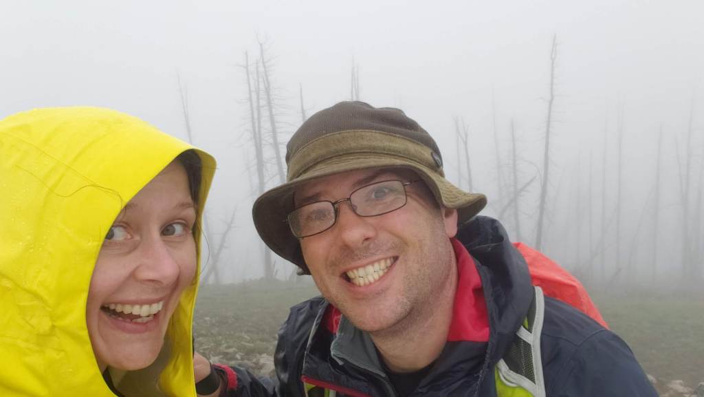
- Accompanied By: Dan
- Beta: More Scrambles in the Canadian Rockies – 3rd Edition
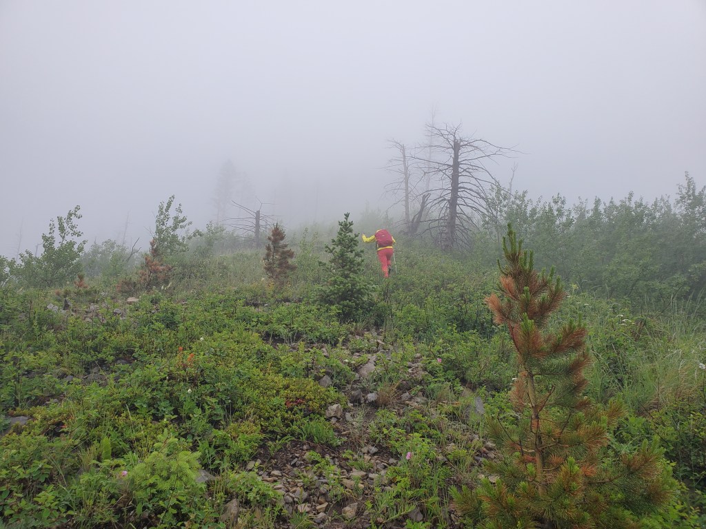
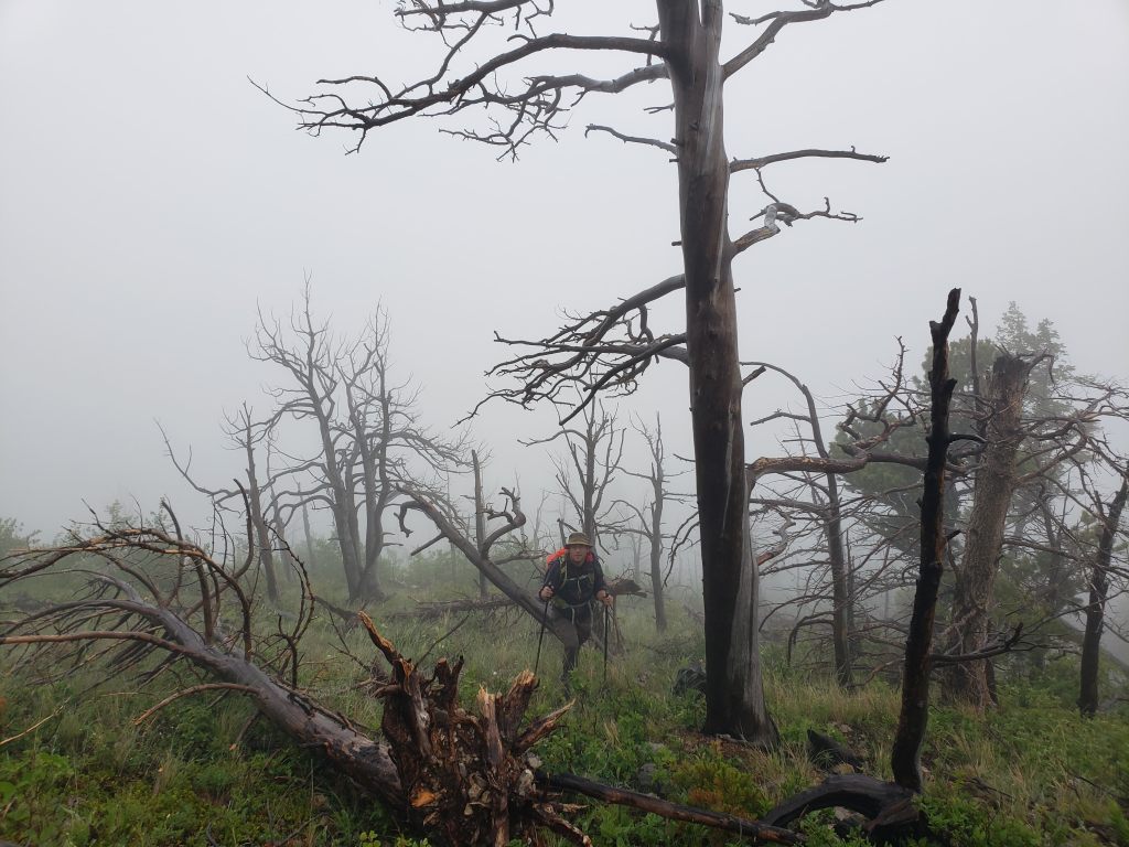
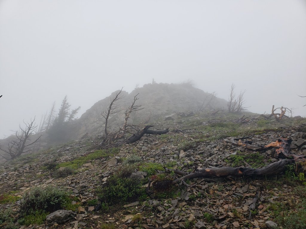
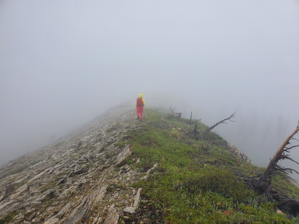
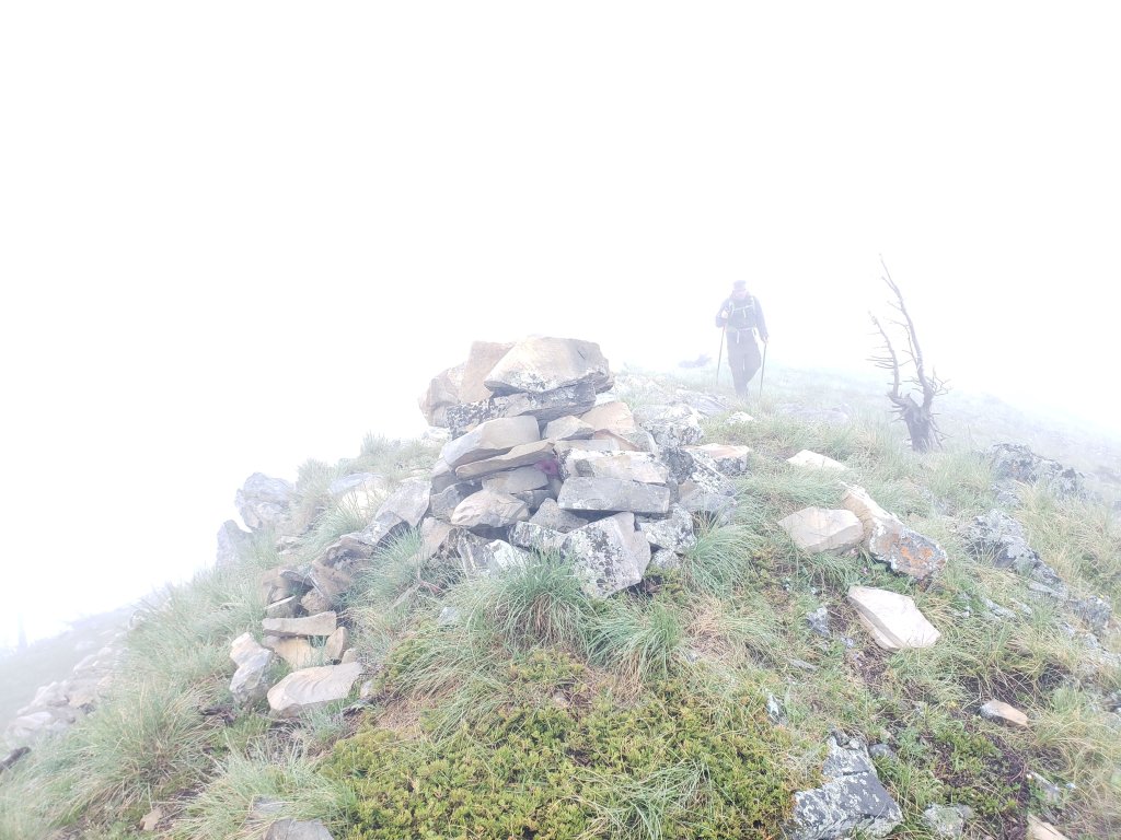
- Notes: Very poor visibility on this day.
Summary
Hillcrest is probably best known as the site of Canada’s deadliest mining disaster. The 1914 coal mine explosion claimed 189 lives. The mass grave at Hillcrest Cemetery certainly makes for a sobering visit, if time permits while in the area. The mine was near town and, as best as I can determine, this hiking route doesn’t pass directly over it.
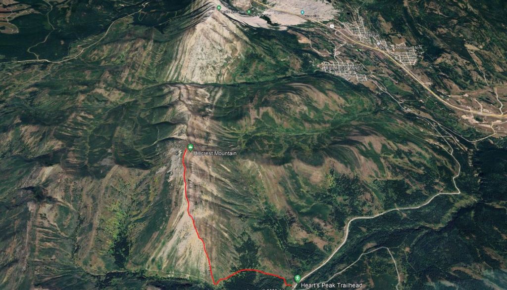
The weather forecast for our last day in the area looked very rainy. Dan was keen to sleep in and then go for brunch. I hoped the rain wouldn’t be as bad as forecast and still wanted to bag a peak. I did, however, limit my ambition to a tame objective. The rain did not let up and the clouds were so thick that my GPS went haywire and became useless. I managed to cobble together a route overview from the parts where my GPS watch recorded correctly, but I didn’t trust the data enough to navigate by. Unfortunately, our photos provide limited information too.
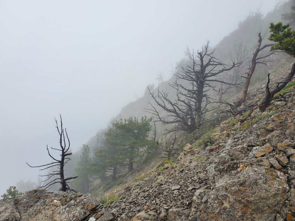
We hiked back out the way we’d come. Thankfully the angle of the slope made the direction fairly obvious and we soon found ourselves back on the ATV trail. We reached our vehicle thinking we must be the only ones crazy enough to be out today. Just then, a couple of cyclists whizzed past us on the road! Hey, it’s still better than being in the office, right?
