Summary
- Area: Jasper
- Trip Date: 2021 Aug 15
- Trip Duration: 6 hrs
- Elevation Gain: 930 m
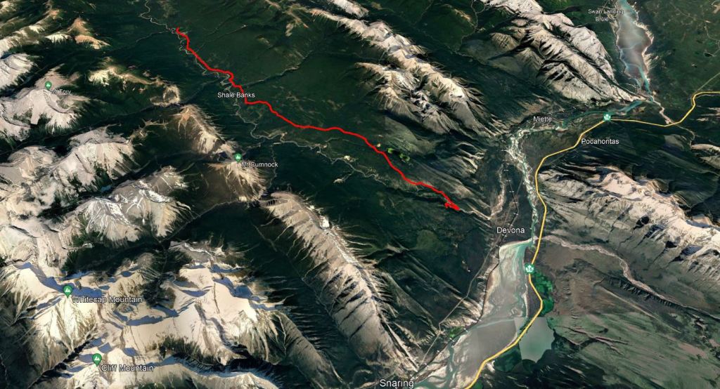
- Total Distance: 52.7 km
- Difficulty: Biking
- Accompanied By: Dan
- Beta: Celestine Lake to Rock Lake Trail – Jasper National Park
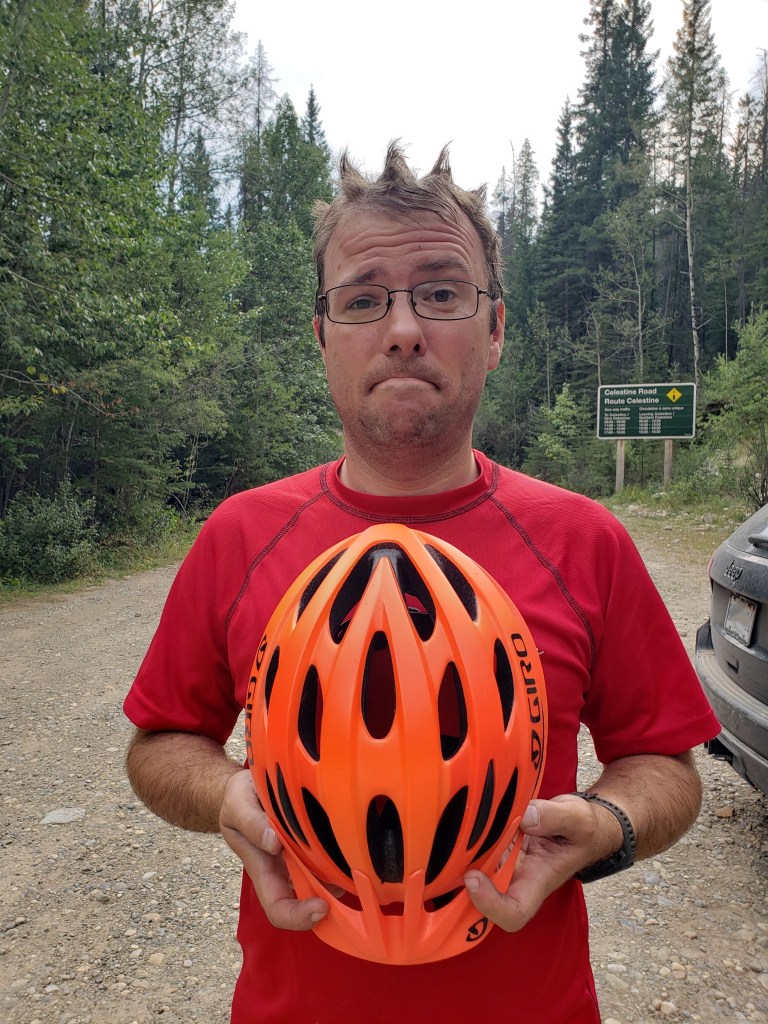
- Notes: Not a scramble, mountain biking on trail. Access to the trailhead is via Celestine Lake Road which changes direction of travel every 90 min and closes for Winter. A short section at the start of the trip will have been impacted by the Chetamon Wildfire in 2022.
Trip Report
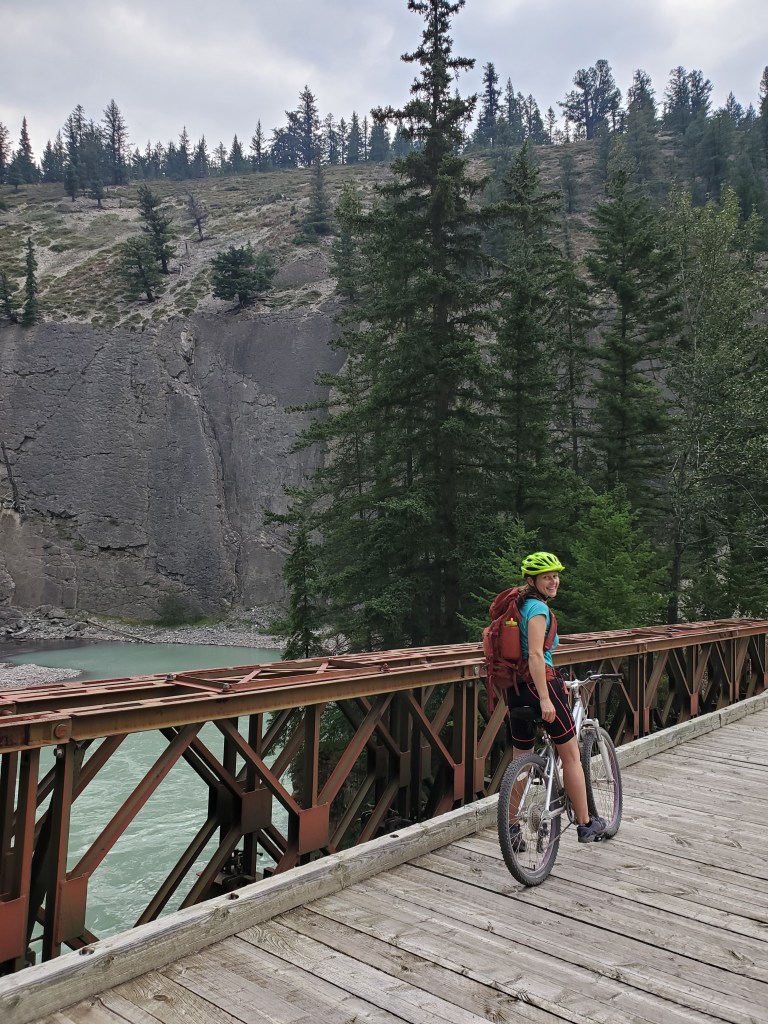
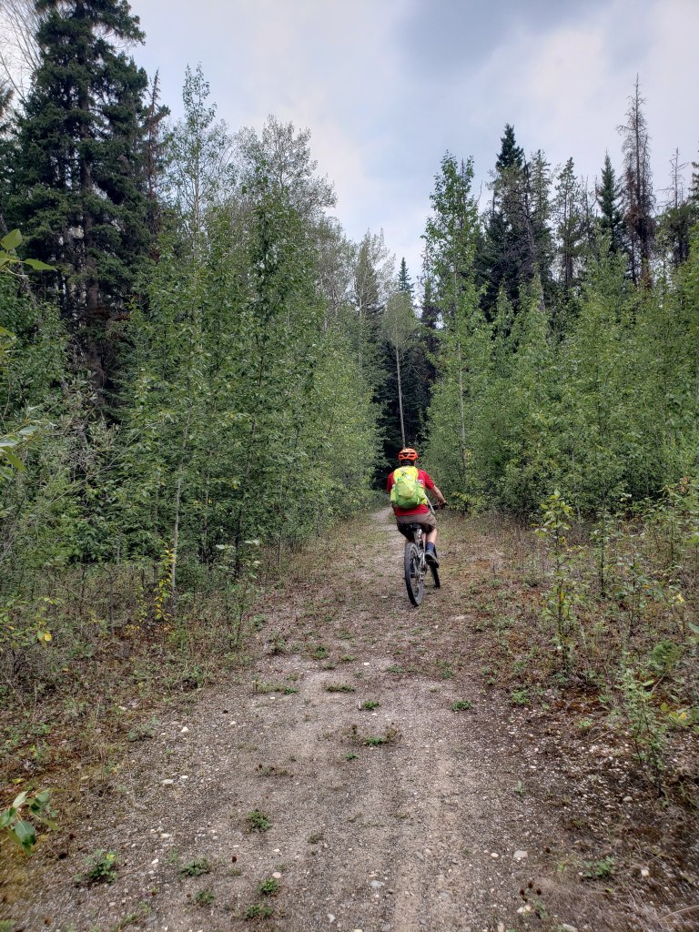
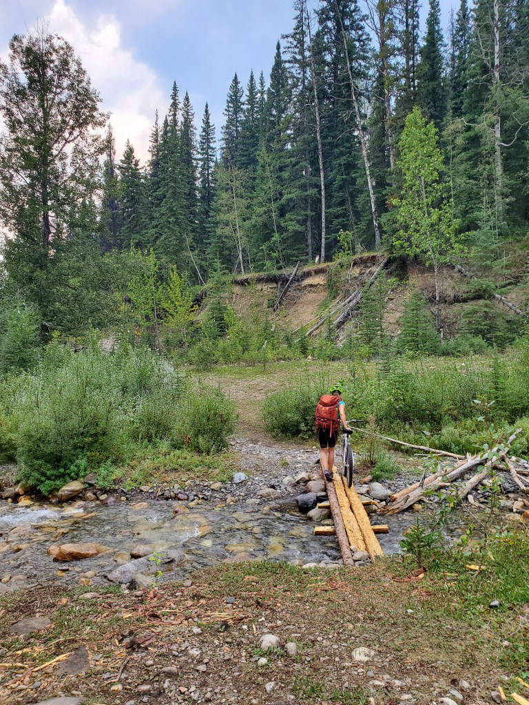
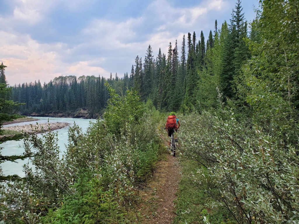
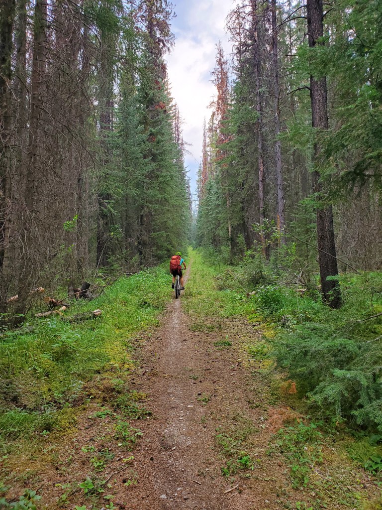
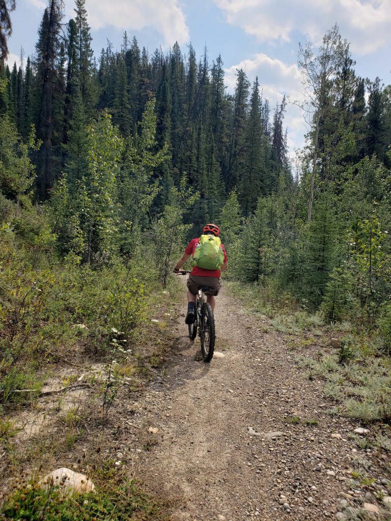
This trip isn’t up a peak, but still warrants its own post. Biking to Snake Indian Falls is a must-do trip in Jasper that sees surprisingly little traffic. I don’t consider myself a mountain biker and this trip was still within my abilities. The trail is wide, easy double-track. We bunny-hopped over two logs each way, and we dismounted and lifted bikes over two larger logs each way. There is one feature (a log bridge) across a stream. The elevation gain looks worse on paper than it is – we only walked our bikes up two hills, and this was mostly because we wanted a break. I used my own older mountain bike for this trip but have previously rented from Vicious Cycle and Snow in Jasper and had positive experiences. The first part of the trail, near Celestine Lake, was impacted by wildfire in 2022. It’s an official trail maintained by Parks Canada, but fresh deadfall is likely to continue for the next while.
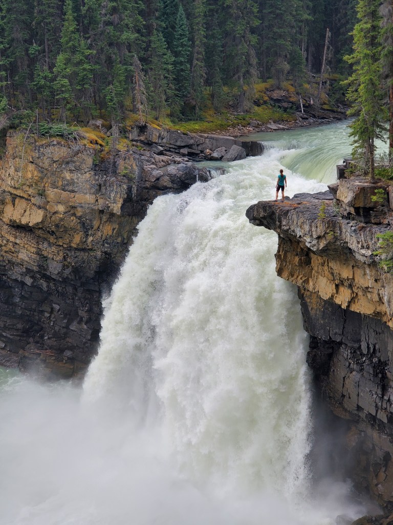
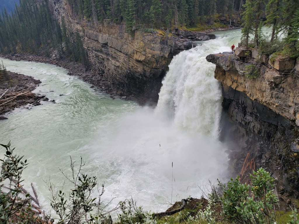


We arrived back at the parking lot in 6 hrs, and then relaxed and snacked for 20 min until the traffic direction changed. Snake Indian Falls is impressive to behold and biking provided an enjoyable way to spend an extremely windy day that may have otherwise been wasted indoors.
As of 2021 Celestine Lake Road was in fair condition, doable with AWD and average clearance. There are a couple of narrow hairpin turns along cliff edges where I would not be keen to meet opposing traffic. Not every user of this road seems to understand the changing one-way traffic, nor are they willing to yield to oncoming traffic (even when they are the ones going the wrong way). I’ve heard that some people mitigate this by traveling with walkie-talkies and sending their friend to walk the curves and bridges ahead of them to make sure the road is clear. One last tip: the closest outhouse is at the Moberly Homestead, which is near the town side of Celestine Lake Road. There will be a fair bit of driving without access to facilities before the trailhead. Once on the trail, Celestine Lake campsite has a throne style facility, but represents a 3.6 km detour; while two trailside backcountry campsites offer only bar style facilities, use of which will depend on one’s comfort level and/or needs. Plan accordingly!
