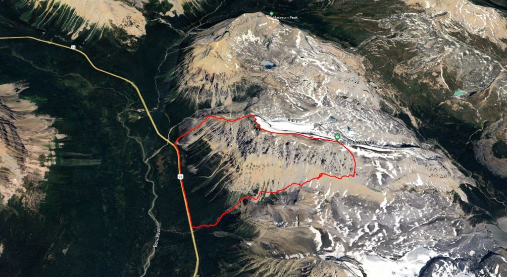
Notes: Traversed south-to-north from Hector Pass to Noseeum Creek.
Trip Report
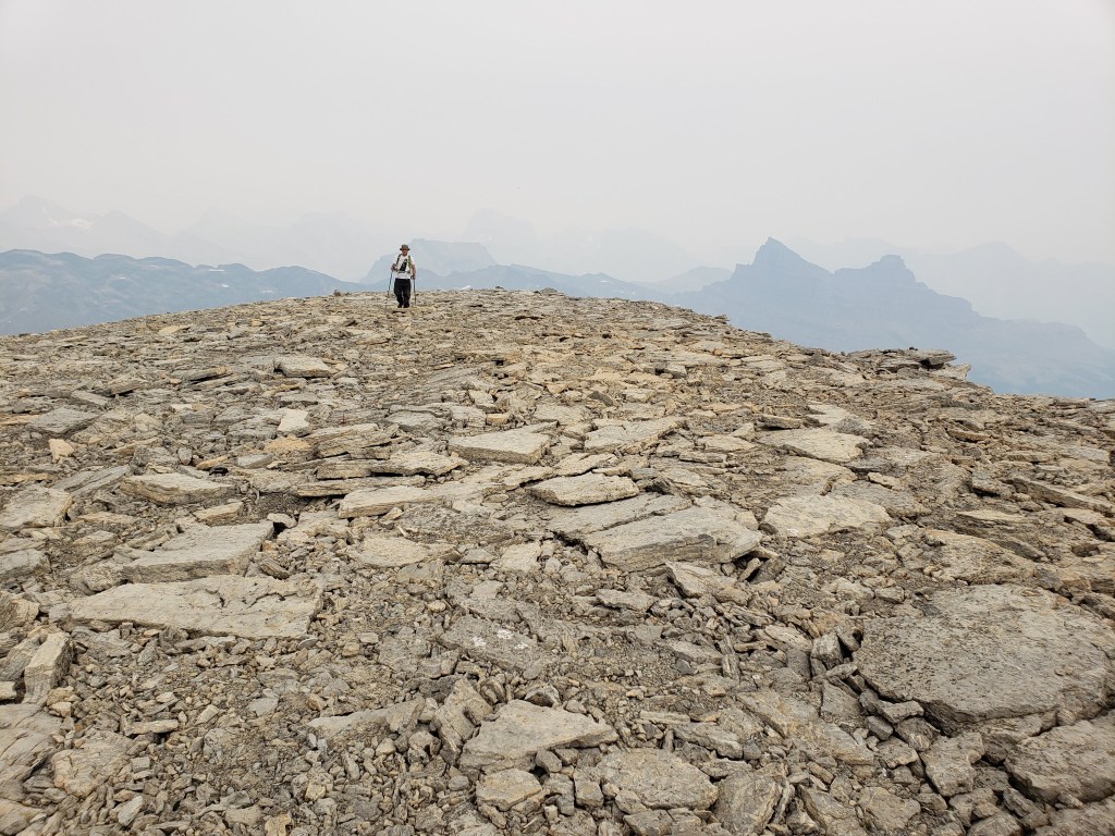
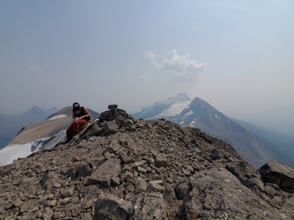
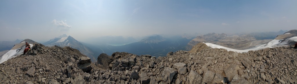
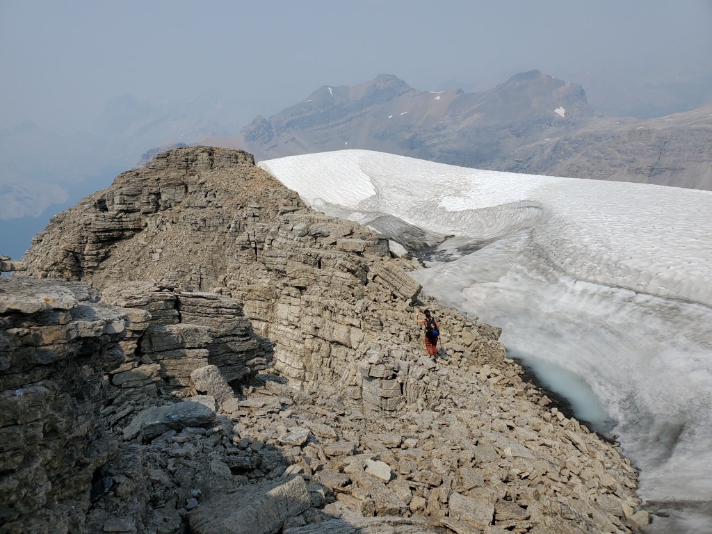
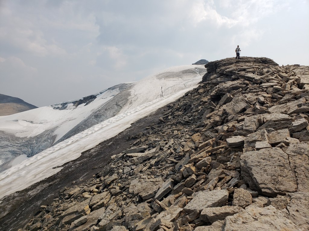
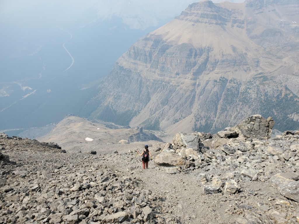
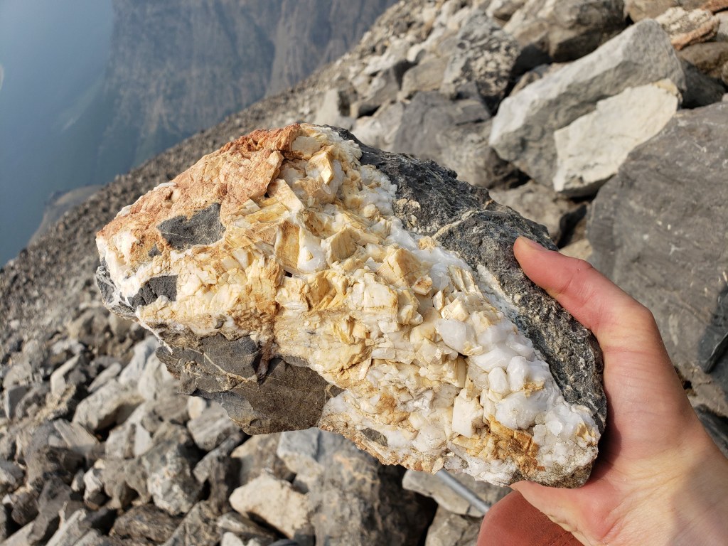
A ridge traverse of Andromache closely follows the top of the Molar Glacier, making for a spectacular ridge walk but requiring good, snow-free conditions. Surrounding views, though typically breathtaking, were mostly obscured by smoke on this day. The ridge itself is quite beautiful and blanketed in crystals, but the descent down the northern end of the ridge forces slow, careful progress on frustrating pebbly sand-slab.
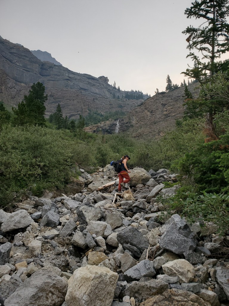
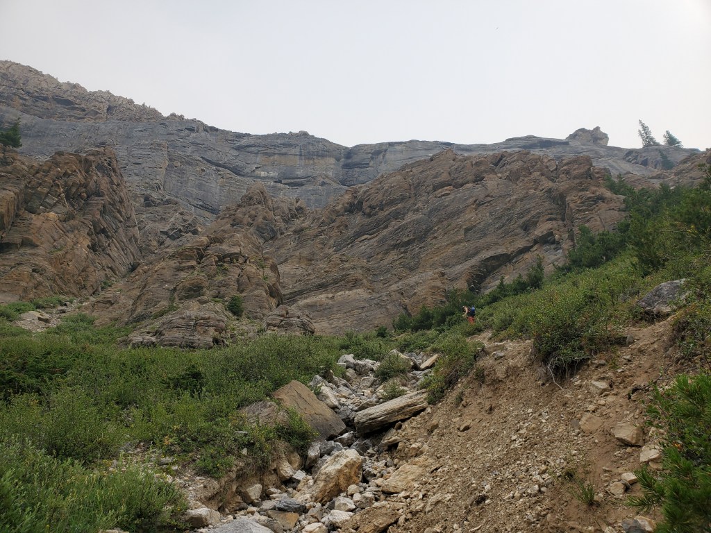
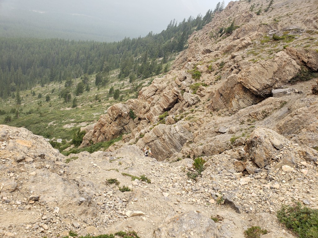
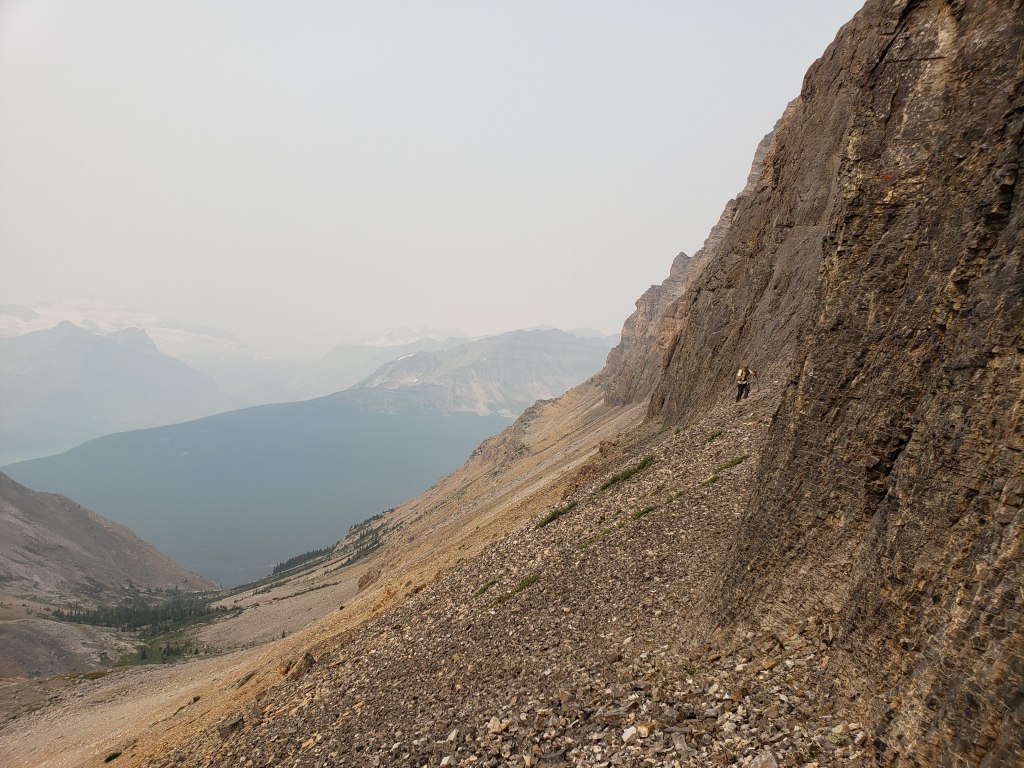
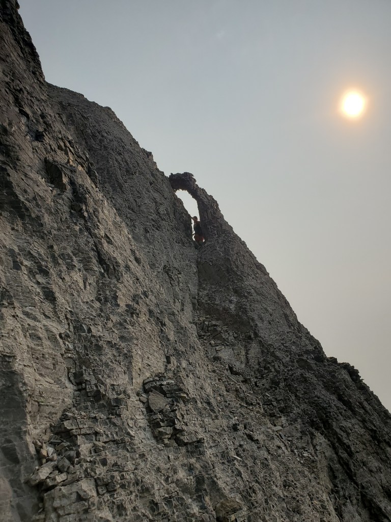
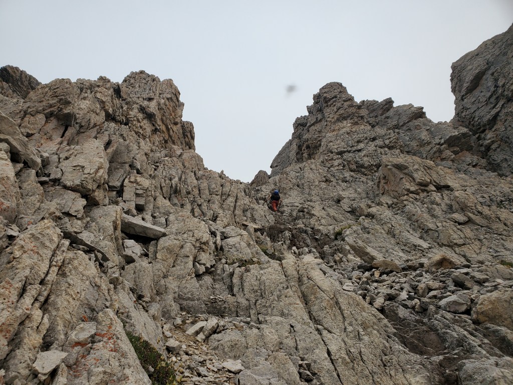
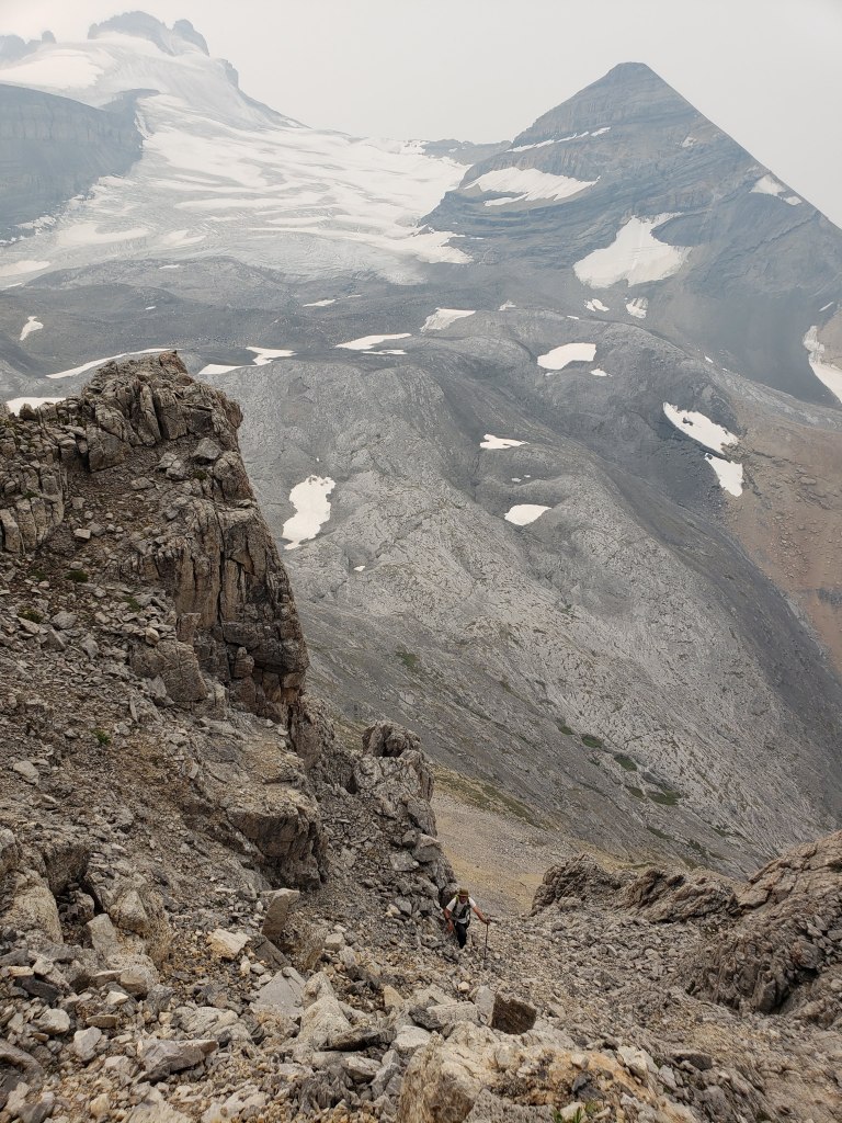
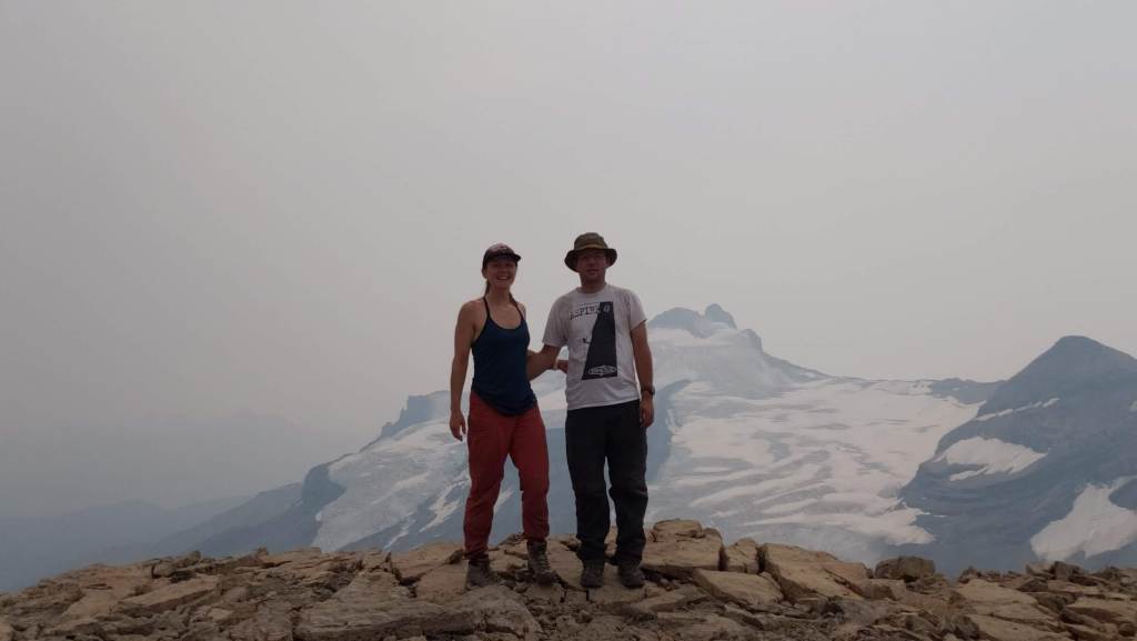
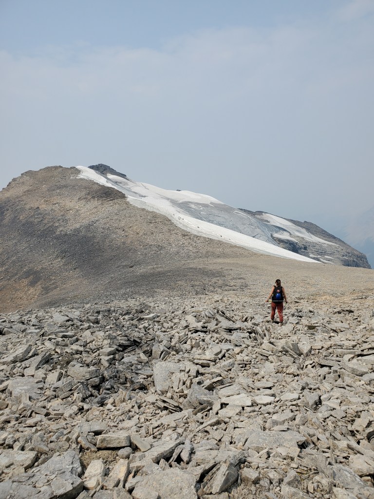
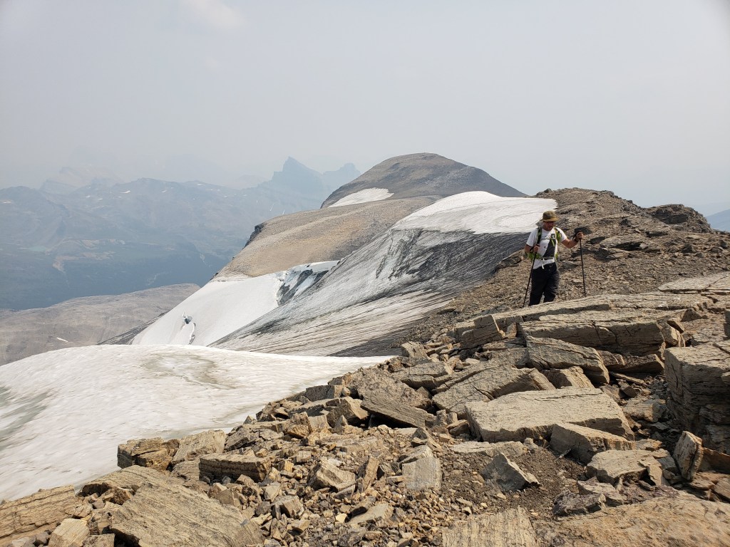
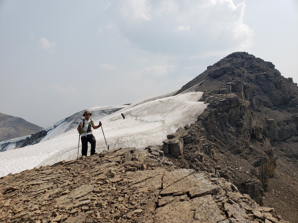
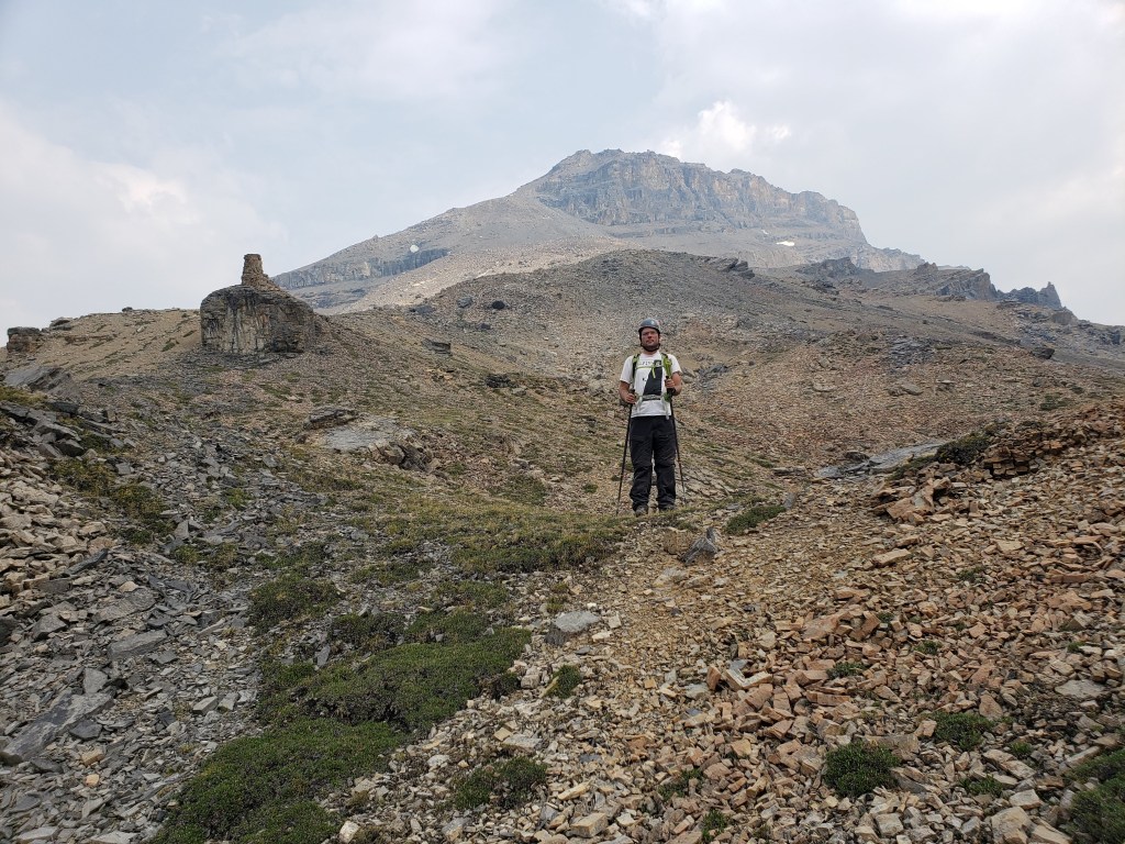
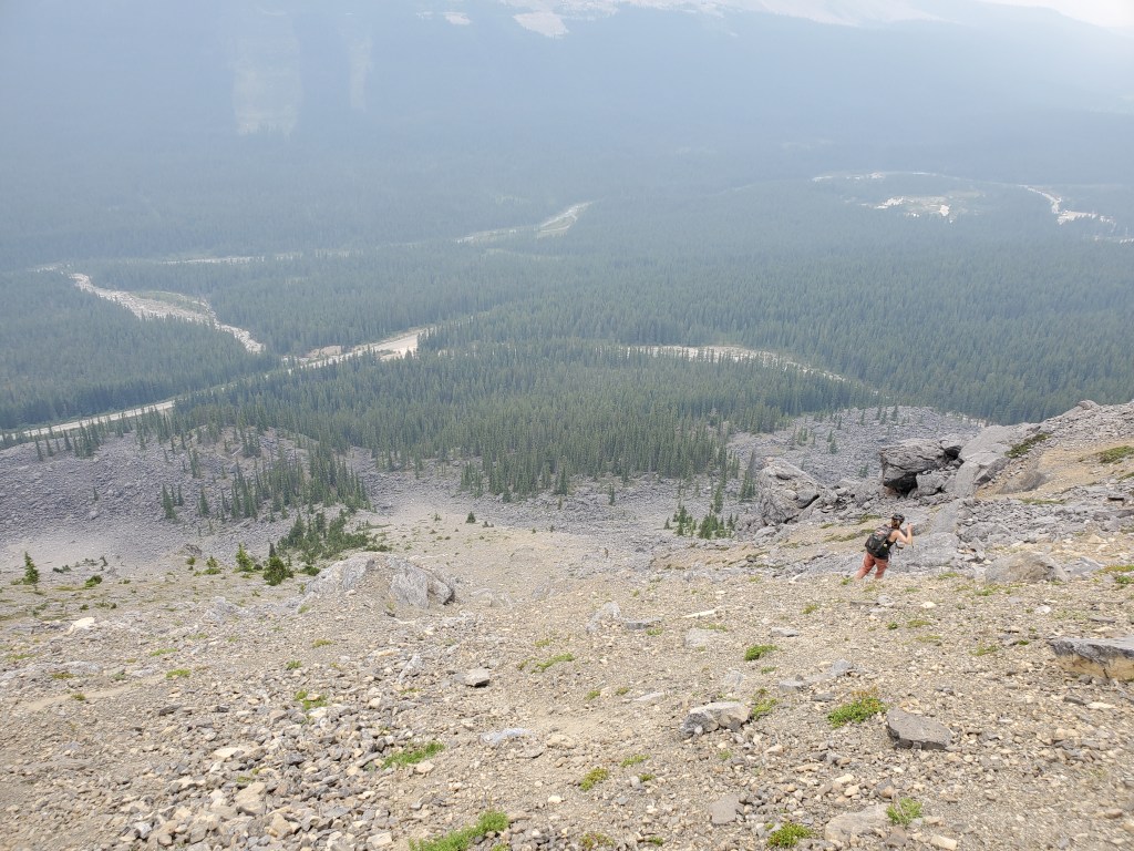
We parked at a pull-out near Hector Creek and easily found the trail in. We were soon at the waterfall.A well-worn trail winds up this small cliff, starting from the left. A few moves of moderate scrambling are needed.Looking down as Dan makes his way up the cliff. It looks like there are a few fun lines to choose from.We followed the trail as it rose to the left side of the valley between Andromache and Hector. We’re aiming to ascend the left slope near the gentle spot above my head.This shot looks back at Dan as we made our way up and to climber’s left, hugging the base of the cliff where the terrain was most solid. We paused for a little window in the cliff face.We reached a friendly-enough looking gully and decided to gain the ridge here. Had we continued below, the ridge might be gained via easier terrain than this.Nearing the top of the gully. Mount Hector (left) and Little Hector (right) are in the background.The ridge flattens out on top and the walk to the first high point is very straight-forward.A cairn marks the first high point on Andromache. Some mapping identifies this as the peak (at 2996 m), but it looks like newer mapping marks the peak as the next high point (at 3002 m). We paused for a photo with Mount Hector in the background.Continuing on to the next high point.Gazing down across the Molar Glacier.Looking back as Dan follows along the glacier. This felt to us like solid ridge, not moraine, but continued evaluation throughout the traverse is prudent. The double-peak of Molar Mountain can be seen in the background, to the left of the high point we just came from.The second high point has a smaller cairn and a summit register. Strange, from this angle, the previous high point almost does look higher.A smoky summit panorama.We continued traversing along the glacier, being mindful to stay on solid rock.Some interesting glacier formations are passed along the ridge.Looking back, the ridge can be seen to grow quite narrow in places. This traverse would not be a scramble if snow was present.Continuing along the ridge. The shoulder of Noseeum Peak is to the right and Dolomite Peak is nearly fully obscured by smoke further back.Gazing across the Molar Glacier to Molar MountainDan follows, staying high on the rocky ridge. Reaching the edge of the ridge, we begin our descent. We kept a lookout for a cliff at skier’s left and stayed to the right of it. This slope is an awful, tricky descent down sand-slab with loose rocks. It’s impossible to keep one’s footing and becomes increasingly frustrating (and painful on the rear).This descent is covered in crystals. Several rock-admiration breaks were called for as we repeatedly lost our footing and needed a breather.Looking back up at the way we descended. We traveled down from the ridge via the huge scree pile, avoiding the cliff to the right of it.We felt extremely relieved to finally reach the bottom of the sand-slab slope. The descent was unpleasant the entire way.The bottom of the final slope abuts a short gravel road littered with rusty cans. We followed it out to the highway and then finished the day walking 2 km back to the car along the highway.
We reached our vehicle in 9 hrs 20 min. I have mixed feeling about Mount Andromache. On the one hand the ridge walk along the glacier was spectacular, but on the other hand the descent to Noseeum Creek was awful. I enjoyed more of the day than not, but would probably never bring a friend here.


One thought on “Mount Andromache (3002 m)”