Despite knowing that Mount Weed was named for G. M. Weed, I insist that it was named for the approach. Aside from being a bit more of a bushwhack than expected, it’s a fairly straight forward scramble and makes for a nice day out.
We drove out from Edmonton in the morning and had a later start, making shorter Mount Weed a great choice for the day. The entire long weekend was very smoky, but conditions were excellent otherwise.
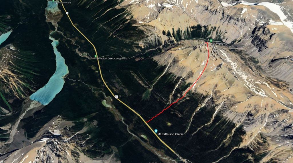
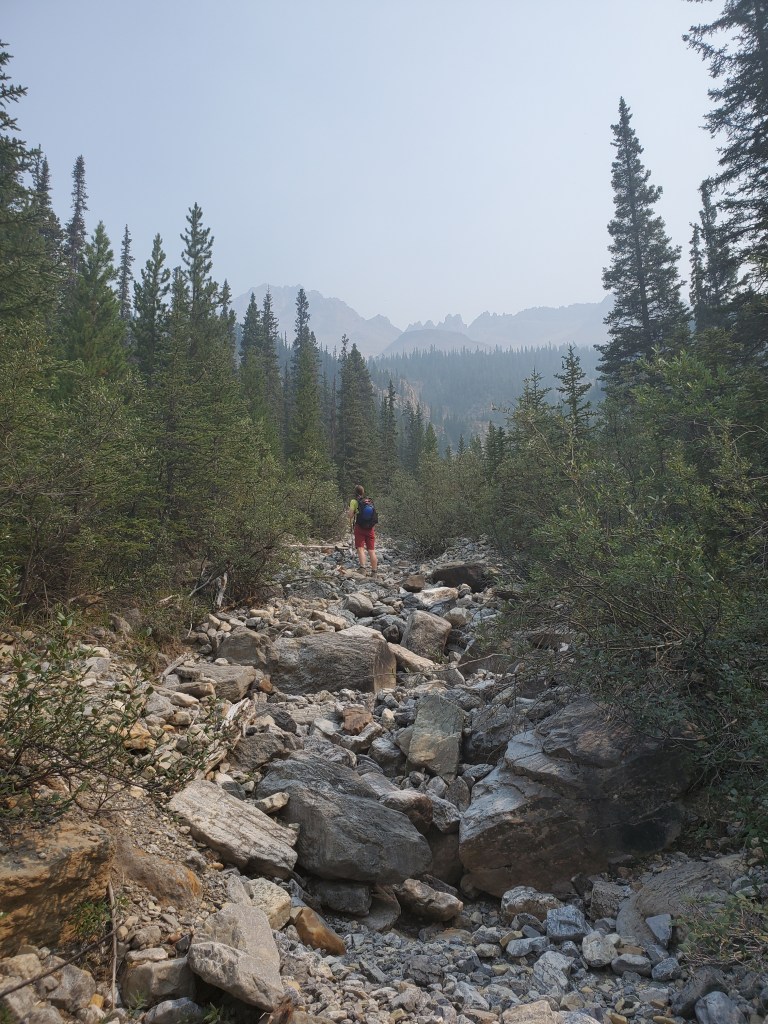
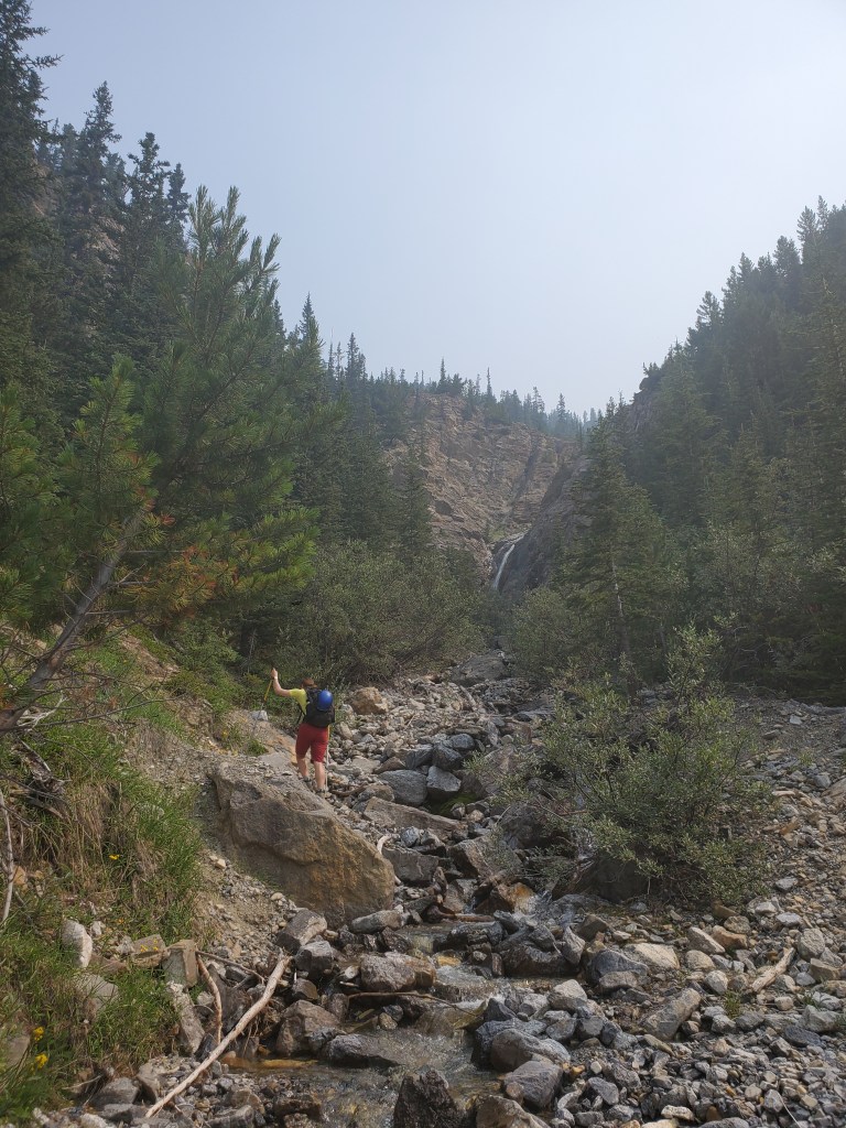
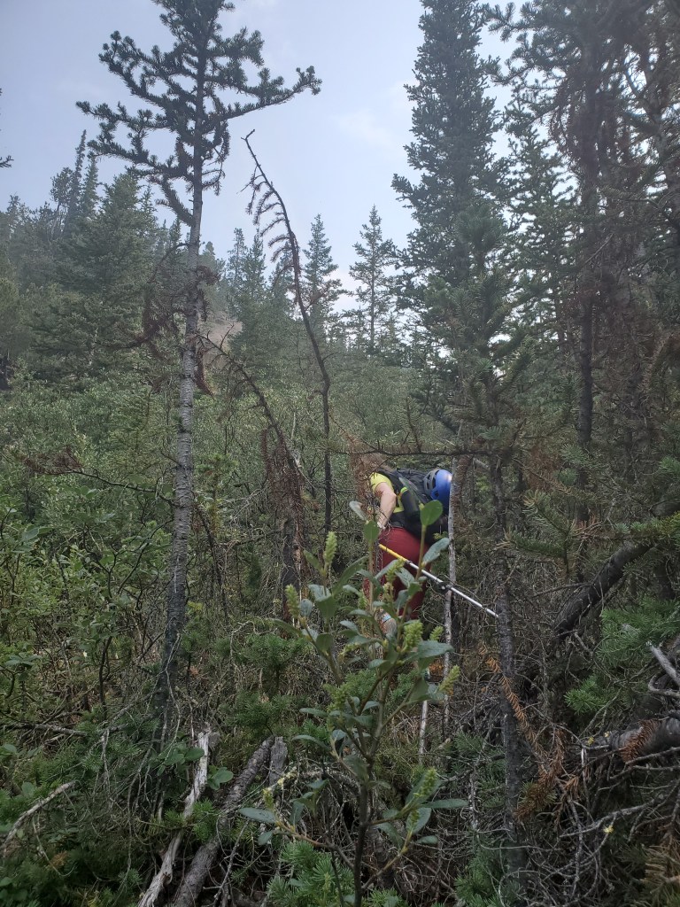
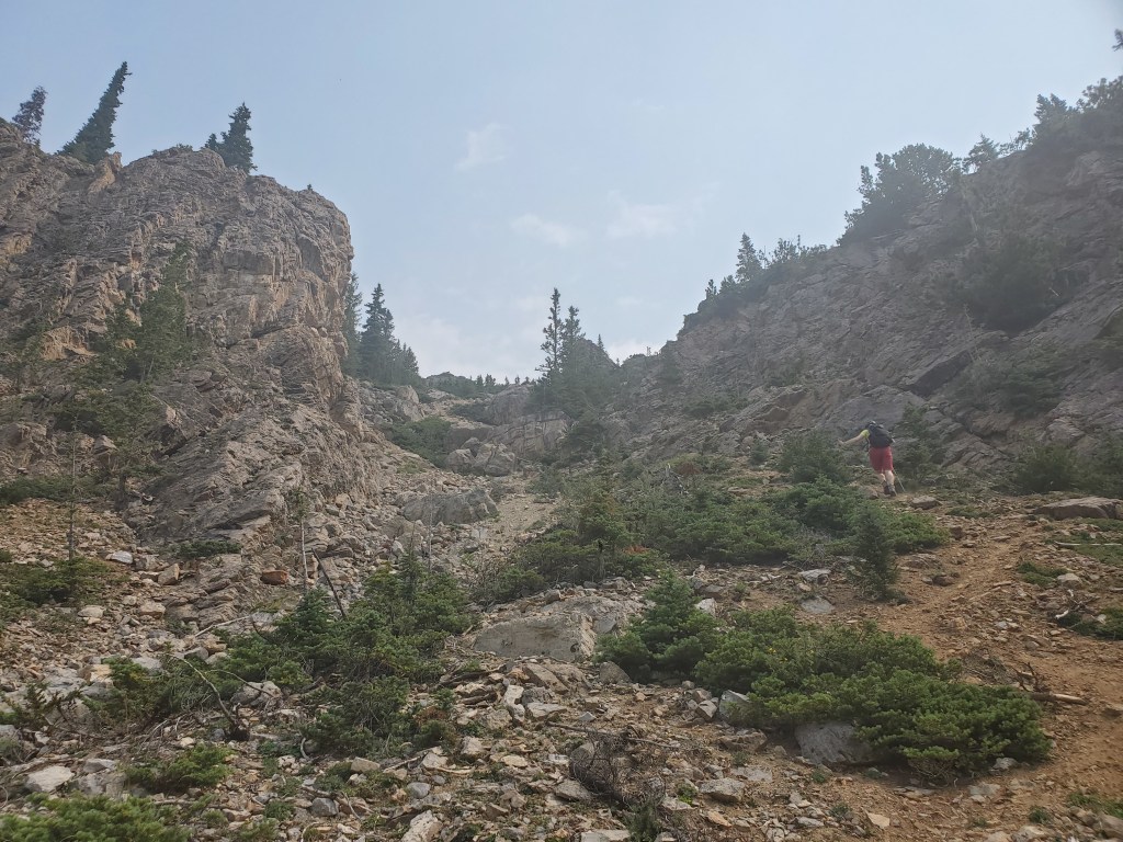
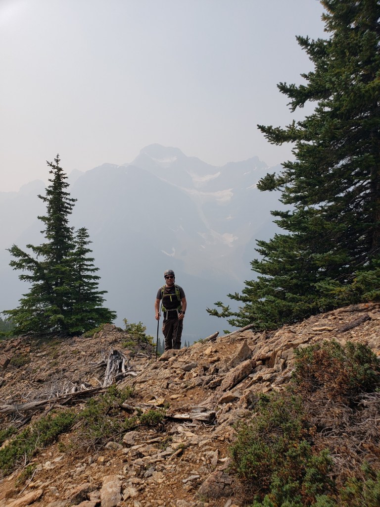
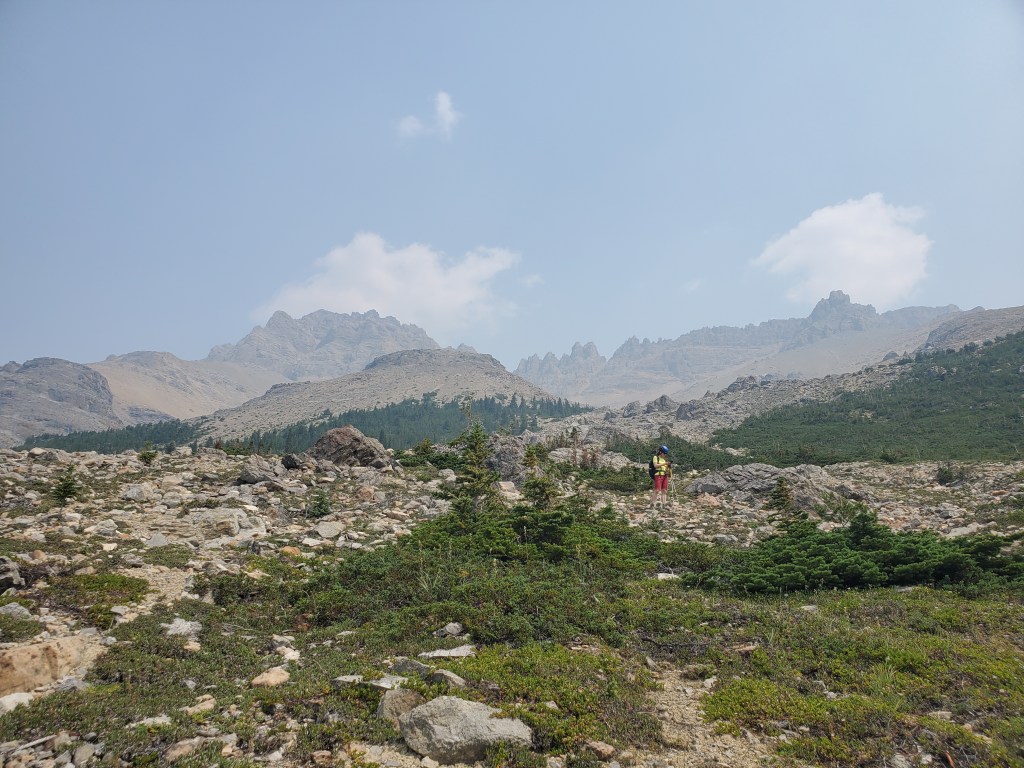
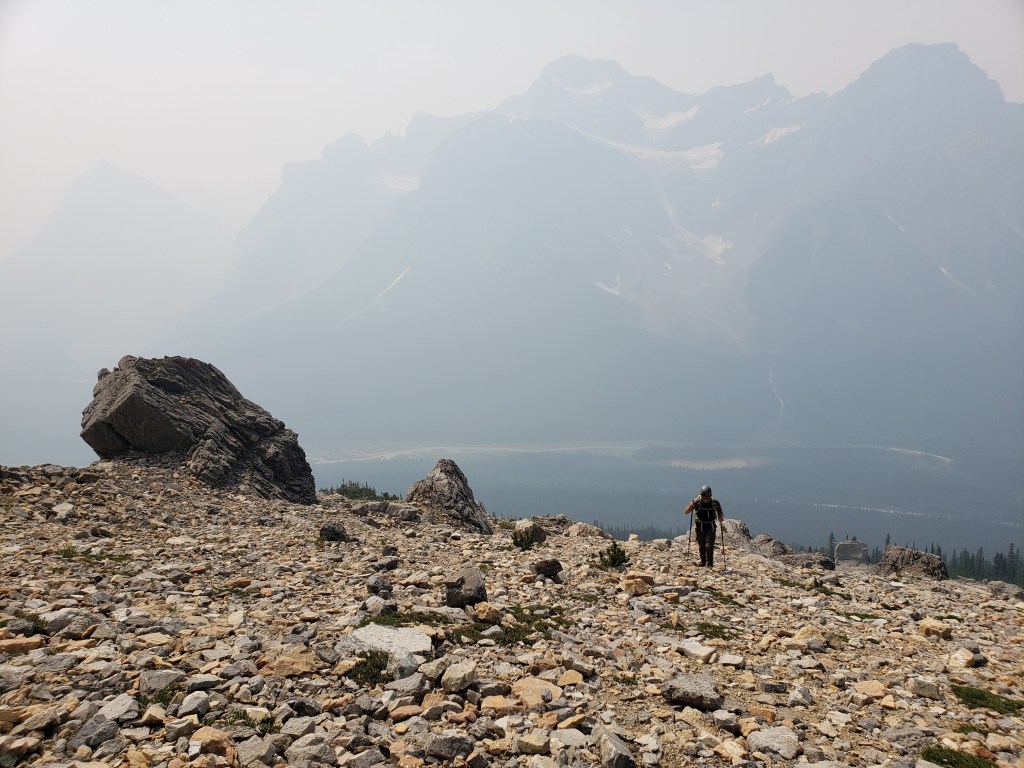
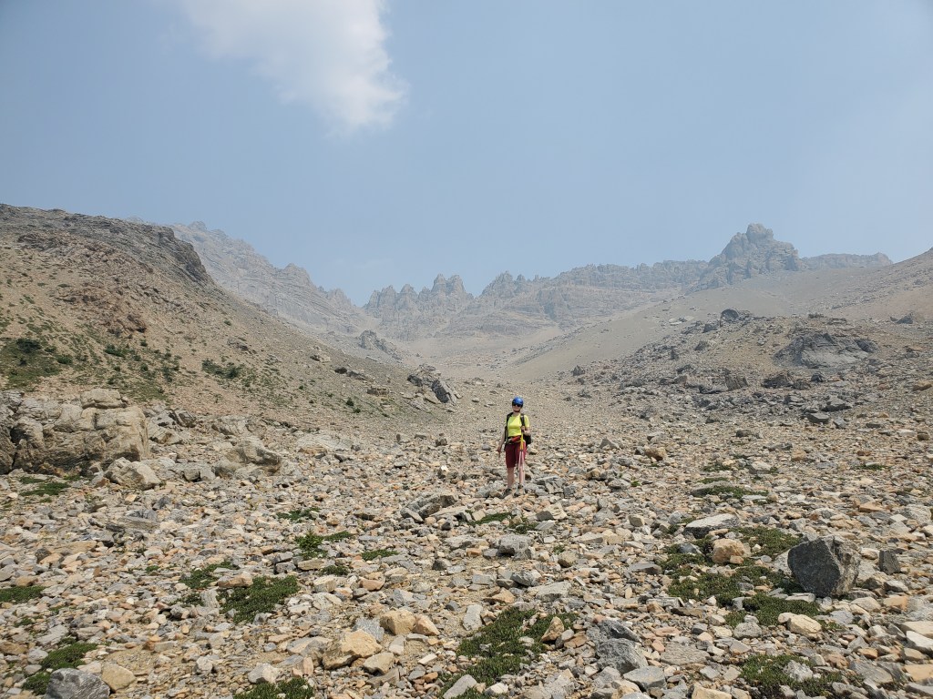
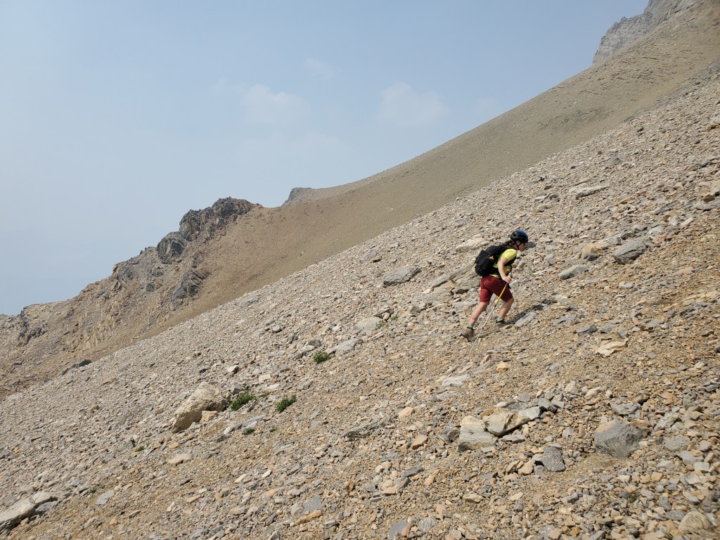
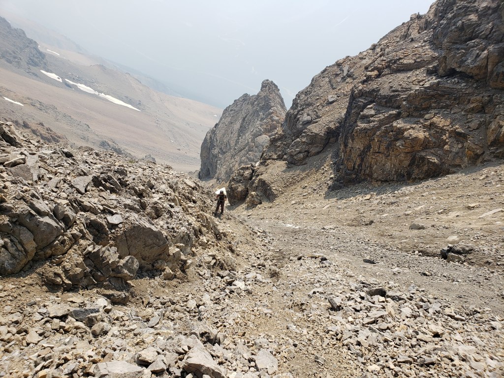
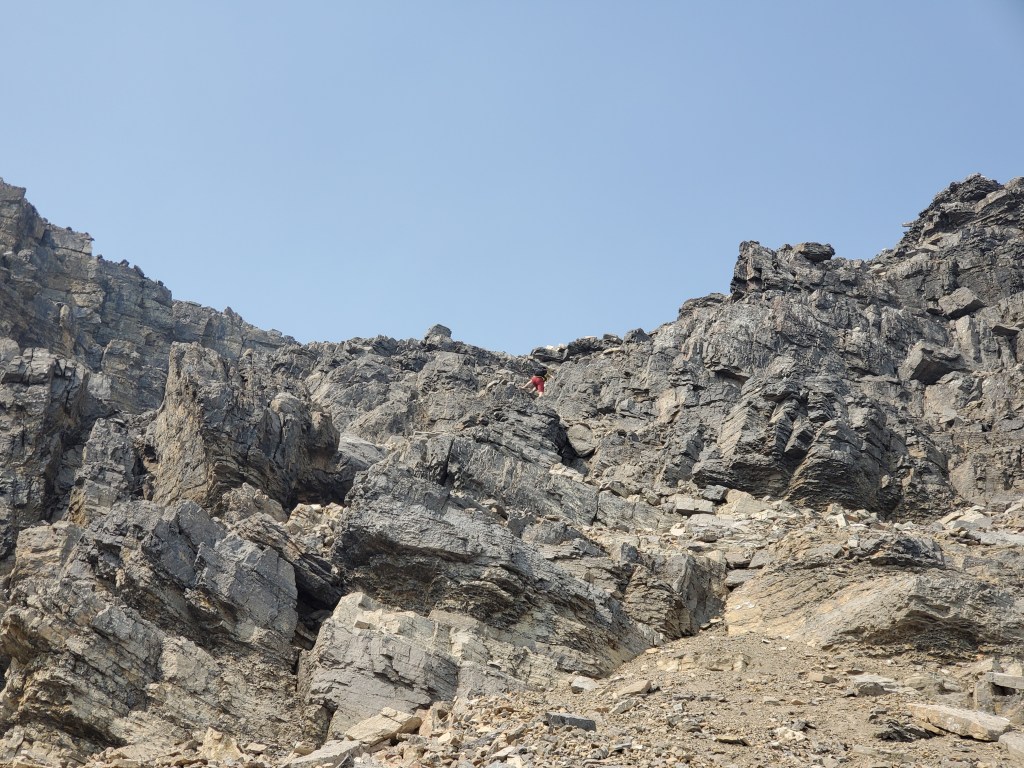
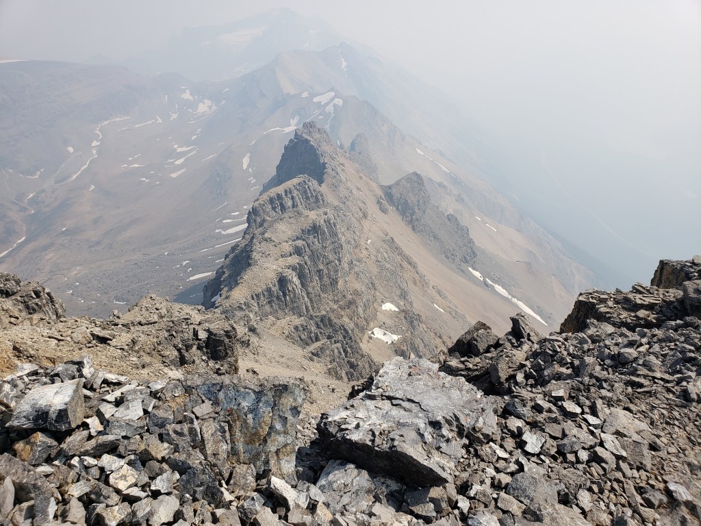
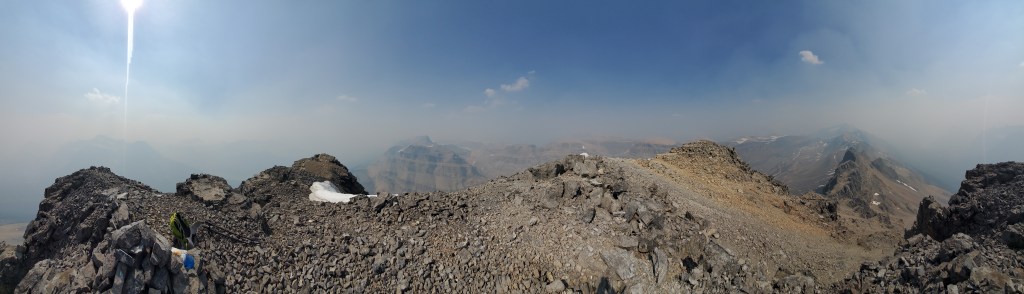
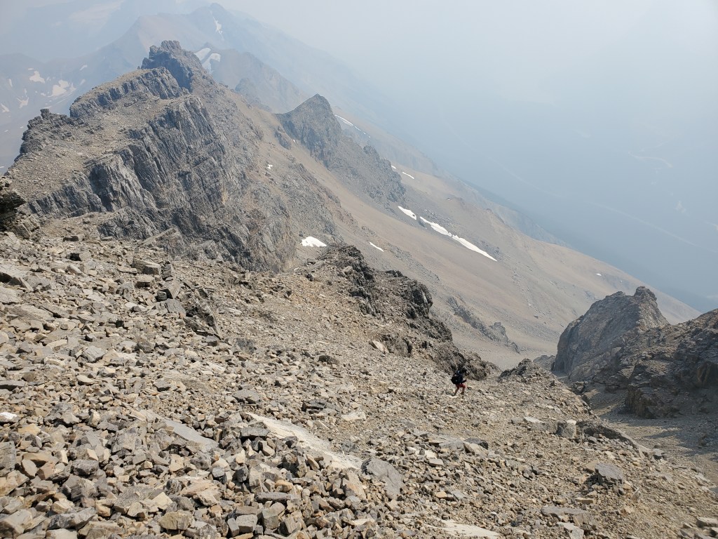
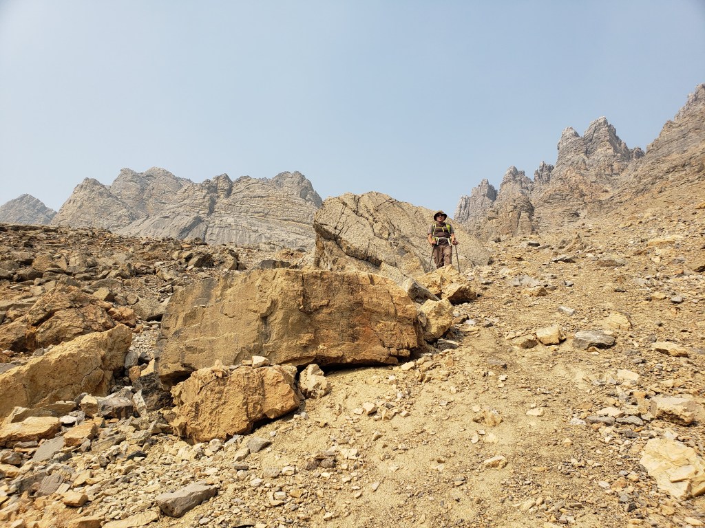
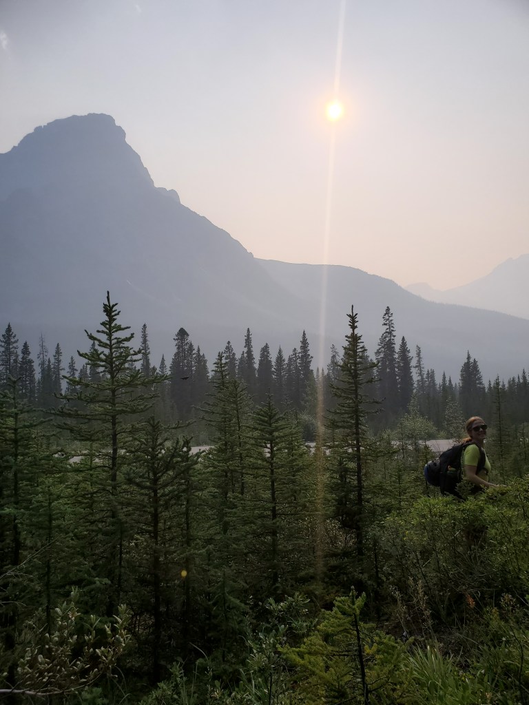
From the highway we easily picked up the drainage and followed it in through the trees. On the way out we found a trail slightly south of this drainage which made for easier travel, but both options are easy enough.Seeing the waterfall up ahead we knew to leave the drainage here and turn up the treed slope at the right-hand side of this photo.We made our way up over the treed slope and then bushwhacked our way back down to the right-hand branch of the drainage.I probably wouldn’t recommend wearing shorts for this one. It didn’t have as well-worn of a trail as I expect for most Kane scrambles.Reaching the top of the drainage, the slope widens.Looking back at the hanging glacier on Mount Patterson, barely visible through the thick smoke on this day.The rest of the route comes into view as we gain elevation. We’ll be starting out straight ahead and then following the scree slope as it narrows and winds left to the gap in the ridge (the gap is partially obscured by the mound at center).Another shot looking back at Mount Patterson.The way up this final scree slope is obvious, but it gets steep and loose as it narrowsA better shot showing the steepness toward the top of the slope.Just below the peak the path gets narrow and very loose. We kept mostly to the solid rocks along the edge and took turns scrambling to avoid kicking rocks on each other.A final short section of moderate scrambling leads to the peak.Because of the smoke, we had little in the way of views (other than Dan).Looking south to the jagged ridge which had been above us while scrambling up.Summit panorama.Returning the way we came, we initially tried taking turns again to avoid kicking rocks on each other. The rock is so loose though that on descent even waiting off to the side felt sketchy. Eventually we settled on a synchronized descent with Dan’s chest almost touching my back as we scree-skied down – very romantic.Back on flatter ground, looking back up at Mount Weed’s interesting ridge. We had watched Dune recently and felt like we were on Arrakis – watch out for sandworms!By the afternoon the smoke nearly fully obscured the views. I did still find lots of fun rocks to stand on!When bypassing over the treed slope above the waterfall we picked up a faint trail on the way out and followed this to the road. It runs parallel to the drainage and was slightly easier travel (as of 2021). In this photo I am reaching the highway on the faint trail.
We reached the highway in 6 hrs 40 min, an excellent warm-up for the long weekend.