Notes: As of writing, biking is allowed as far as Waterfalls Campsite, which reduces the hiking by 24.8 km. A drainage leads up through the trees, which is easier than bushwhacking.
Trip Report
This peak can be done as a day trip, particularly if biked as far as Waterfalls Campsite. But, back-country campsites are cheaper than front-country sites (for solo-hikers), and I did have to sleep somewhere. For me it made more sense to break this up.
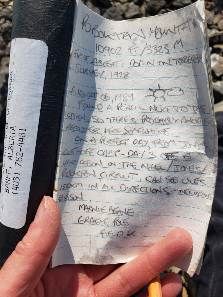
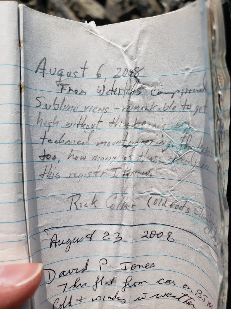
Poboktan Mountain is only 30 m shy of being an 11,000er. This height difference seems to keeps if off of most people’s radar and mountain sees few ascents. It was a fun treat to find a summit register placed in the 80’s that was still nowhere near full. It’s an added privilege to be able to sign my name along with some of the greats that grace its pages.
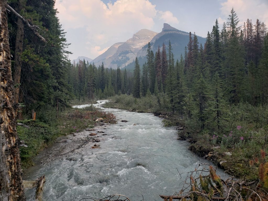
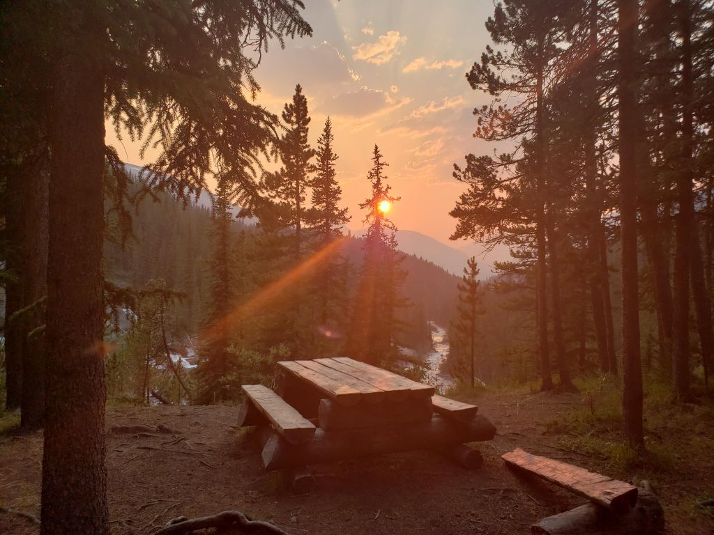
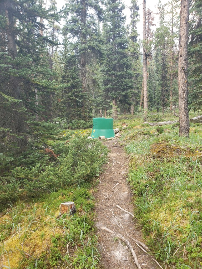
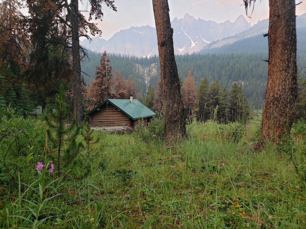
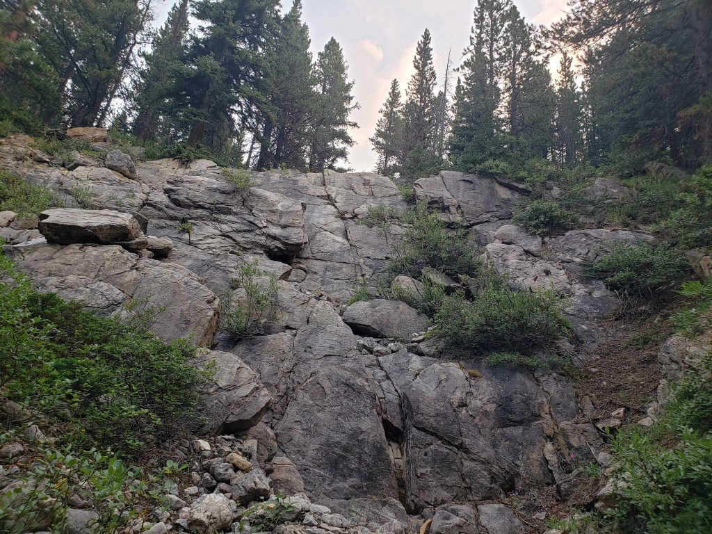
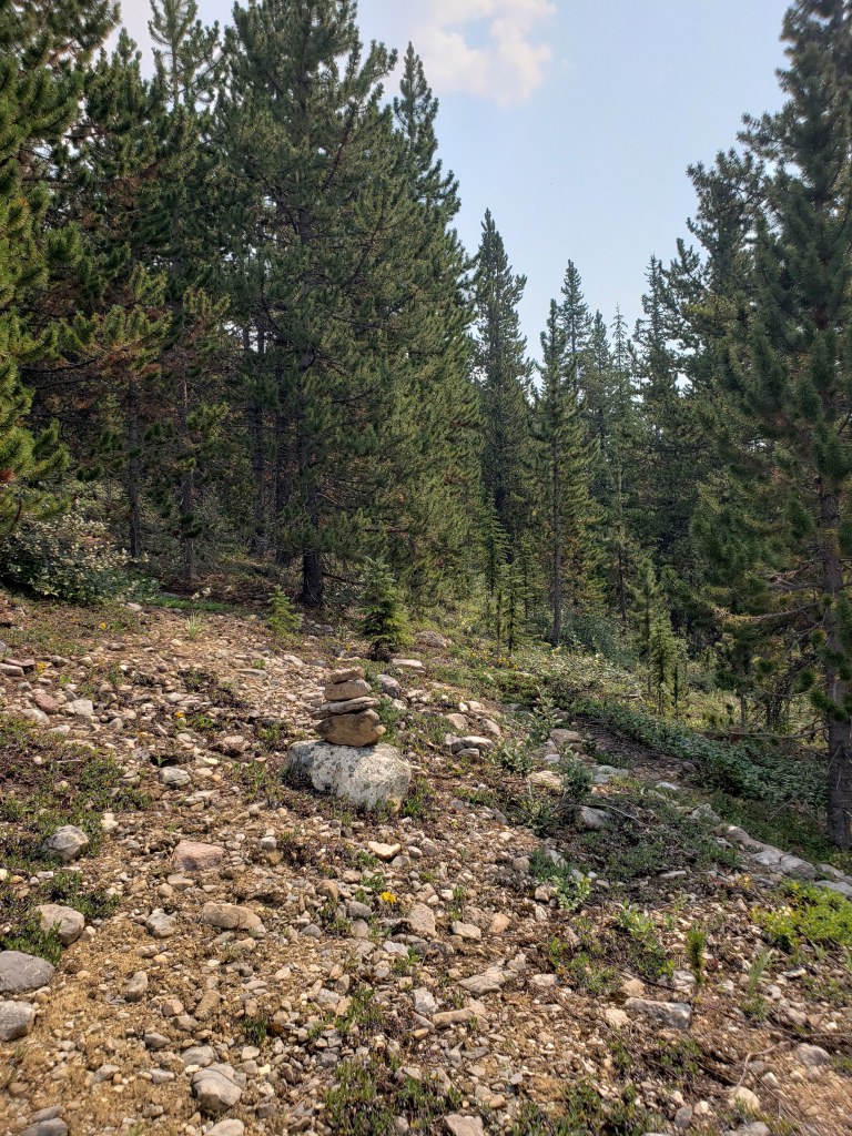
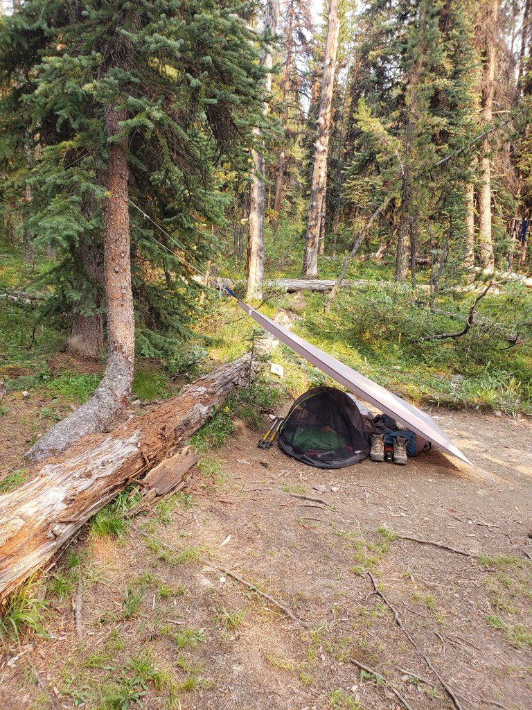
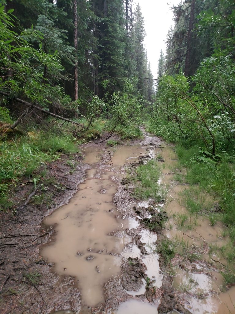
The hike in along Poboktan Creek was on a wide, easy, well-maintained trail. I reached Waterfalls Campsite in 3 hrs 15 min.The enchanting waterfalls in front of Waterfalls Campsite. The campsite sits on high ground, just above this spot.Taking in an idyllic sunset while enjoying a quiet evening of reading at the campsite, before settling in for the first night.A throne fit for backpackers! For those unfamiliar with Park’s Canada’s throne/pit toilets, this is what to expect. I set out for my objective early the next morning, continuing in the direction of Jonas Pass. This charming ranger cabin is passed along the way. Waterfall Peaks are in the background.Just before the turn-off to the peak I spotted a tempting drainage (the above photo is taken a few hundred meters along it). Nearingburg and Coulthard’s recommendation is to continue past the drainage to leave the trail into trees, saying that “the forest is very thin here and the bushwhacking is surprisingly pleasant by Jasper standards.” This is out-of-date beta.
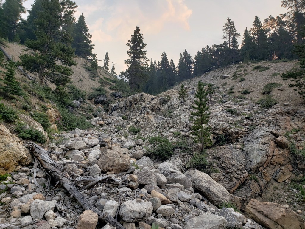
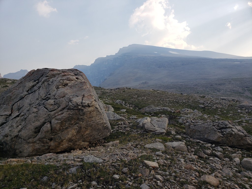
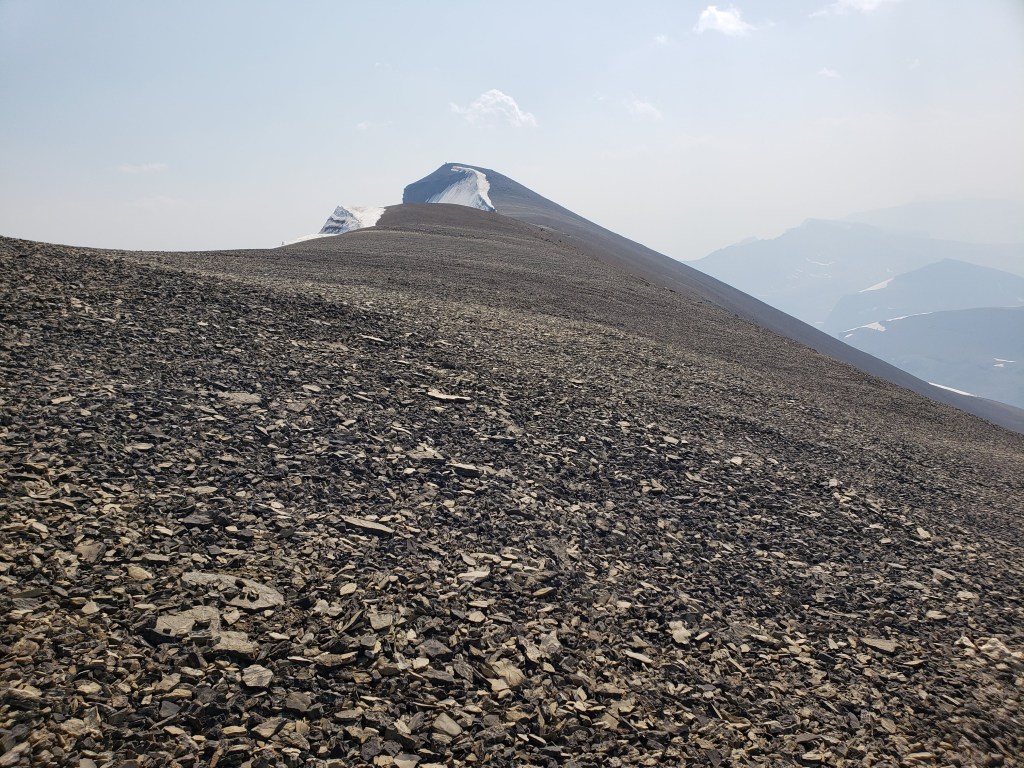
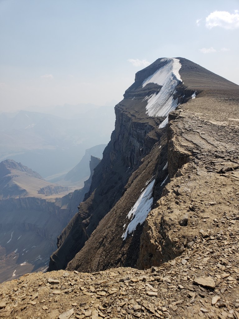
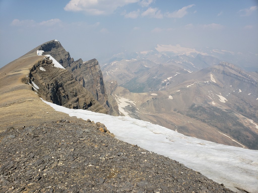
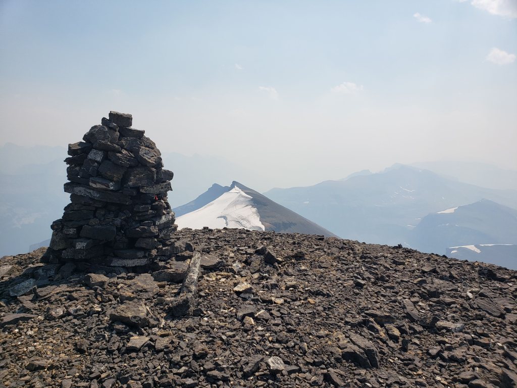
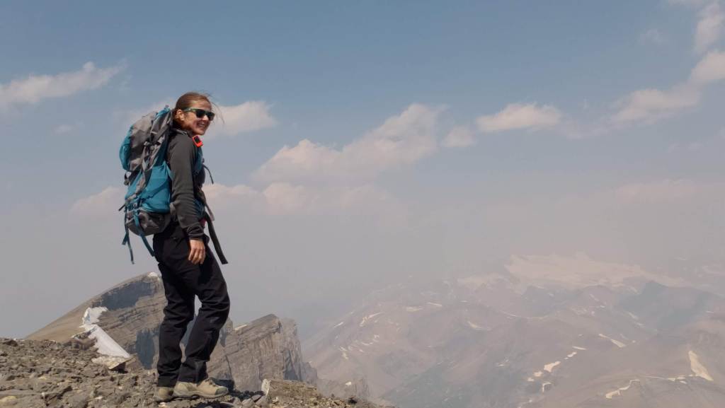
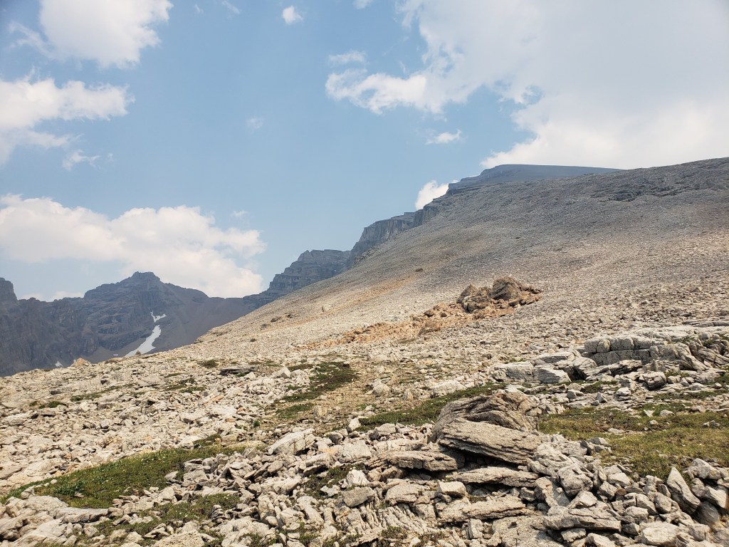
I investigated their recommended approach and I could see where an avalanche must have once cleared a gap in the trees, but that gap is probably now 15 year growth amongst a forest of 30 year growth and is no longer easy travel. I only took a few steps into the new growth before deciding this was terrible and going back to the drainage pictured above. The drainage was much easier and the turn-off was marked with flagging tape and should be easy to find. The ~5 m cliff pictured above was the only scrambling of the day, but it was easily bypassed at either side.I continued along the drainage mentioned above, which runs directly below the large bowl in the northwest of the mountain. Most of the travel was easy, like in this photo. I exited the drainage before the sides got too steep. This still put me in the trees at that point, but high enough that they were thin and easy to navigate.Once above the trees, the way up is obvious. However, it’s over 2 1/2 hrs to the summit ridge from this point, mostly on tedious treadmill scree. To the left, behind the boulder, is the large bowl above my ascent drainage – hence the importance of exiting the drainage before the walls get too steep.After an eternity of trudging up loose scree, I was starting to question whether I was even making progress – the rock all looks the same and it feels like you’re going nowhere! I tried following lines of run-off and I tried trudging through open slope, but it was all awful. My only advice here would be to bring a friend for moral support. I was overjoyed to finally catch a glimpse of the summit ridge.Finally nearing the summit of Poboktan Mountain. The enormous summit cairn can be seen even from back here.To the west (behind, when looking at the summit) lies the Brazeau Icefield. Unfortunately it was very smoky this day and views were minimal.Poboktan is only 30 m shy of being an 11,000er and I almost wonder if these ambitious cairn-builders were trying to bridge the gap! I had to circle this monolith twice to find the summit register – it’s hidden on the right side of the cairn in this photo, about half way up.It’s interesting to find such an old summit register. This one was placed by Marnie Beane (Pole) and Graeme Pole (Canadian author and photographer) in 1989.Another familiar name – this legend needs no introduction.Photo proof, of sorts, that I was here. By this point the thick smoke obscured all views.The scree-ski out was very easy, taking just over an hour.From the bottom of the scree it’s only 100 m of traversing through thin trees to return to the drainage. This photo is looking back at the easiest line through the trees. I returned the way I’d come, making it back to Waterfalls Campsite in the afternoon.I made it back to Waterfalls Campsite in 7 hrs 45 min, with easily enough time to continue back out to the trailhead. Instead I chose to relax at camp and enjoy an evening of reading alone. I had noted while packing for this trip that the weather would turn cold and rainy overnight, so I packed a small tarp to supplement my bivy sack – an adorable gesture in retrospect.I woke very early the next morning to snow on adjacent Waterfall Peaks – in July! I swiftly packed up camp and hit the trail just before the wind picked up and the downpour started. My original plan had been to head to Replica Peak next, but severity of the weather changed my mind. I finally ended up returning for Replica Peak in 2023.
Poboktan Mountain is impressive in stature and the old summit register was an unexpected treat. However, the scree-slog was positively demoralizing. Despite the fantastic views of the Brazeau Icefield (ordinarily), I don’t expect the summit register will be filling up too quickly.