Notes: Via Spirko approach. The crux has changed since this trip report; the flake fell off in 2021.
Trip Report
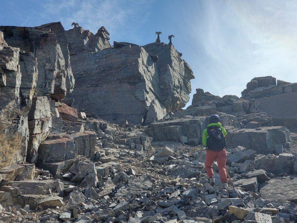
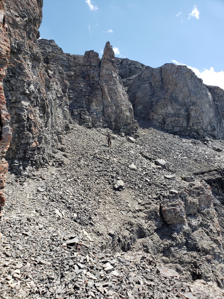
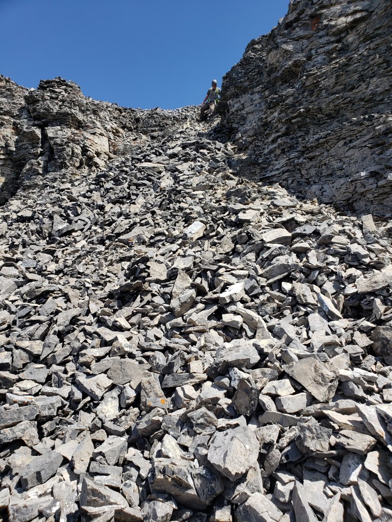
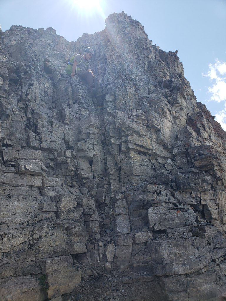
I would consider the first cliff band to be the crux of this trip. A pile of debris wedged between this cliff and a large flake had aided scramblers through this cliff for many decades, but fell off less than two months after this trip date. Note that there appears to be another way up, a gully a few meters left of the former flake, but I have not personally verified that the line will go and it looks slightly harder.
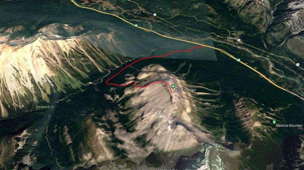
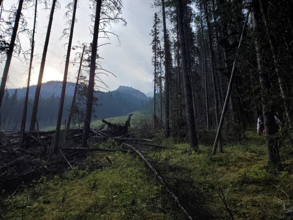
We biked the first 4.6 km along Redearth Creek Trail and then ascended via Spirko’s drainage. We lucked out here too in that an avalanche a few years prior had completely cleared the drainage of trees. If the reader thinks we had it too easy though, fear not, the mosquitoes were delighted to add challenge to our day. Be sure to bring bug spray for this one.
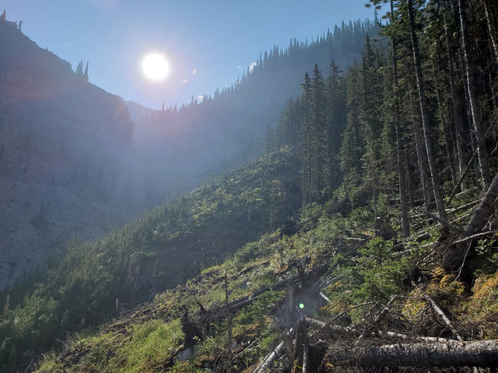
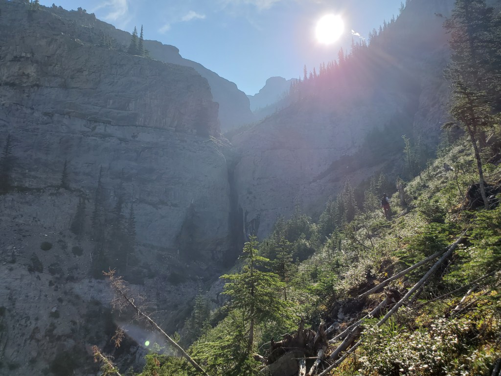
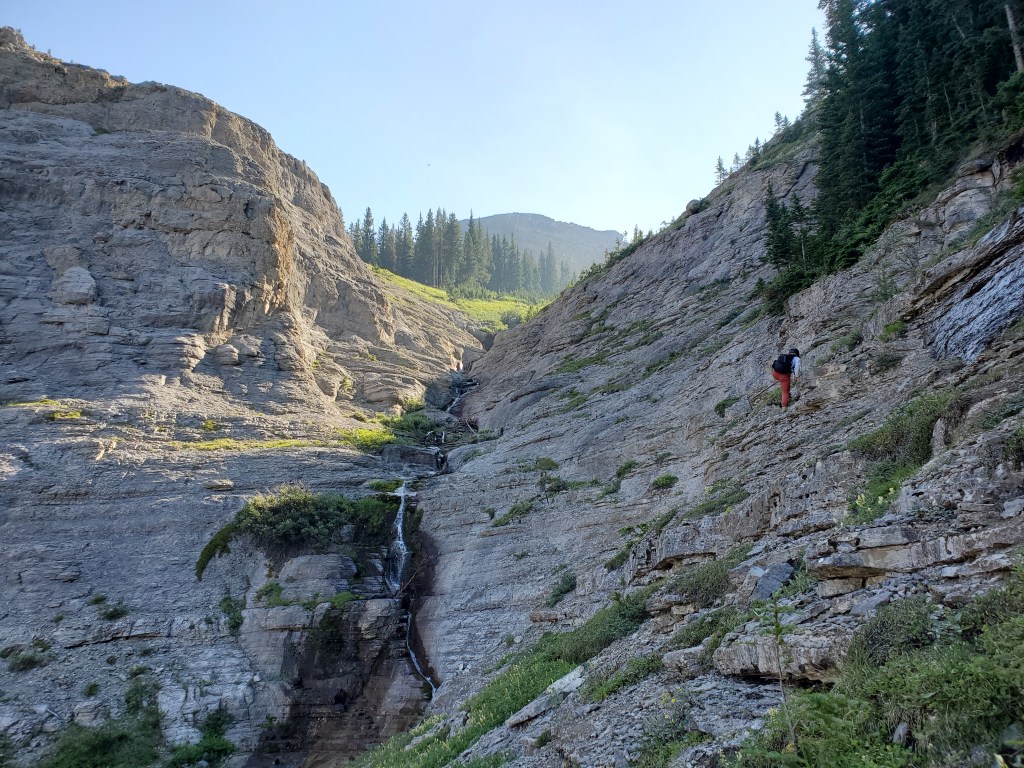
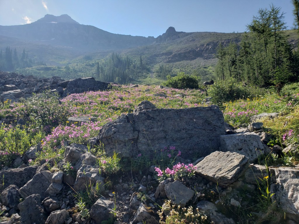
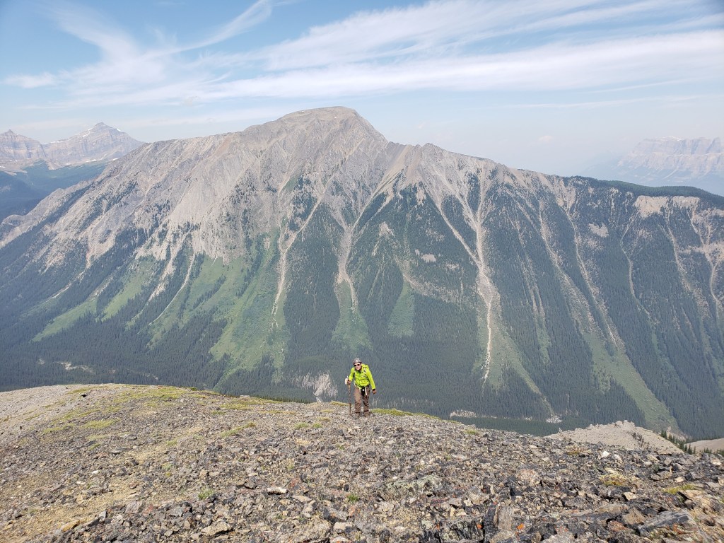
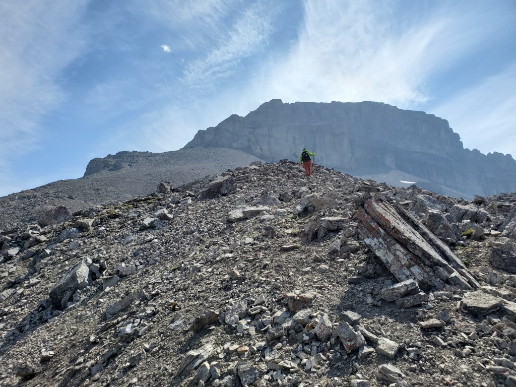
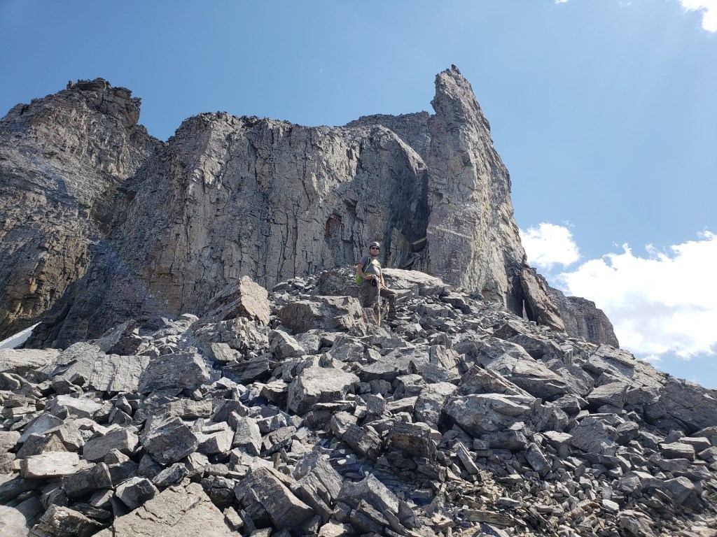
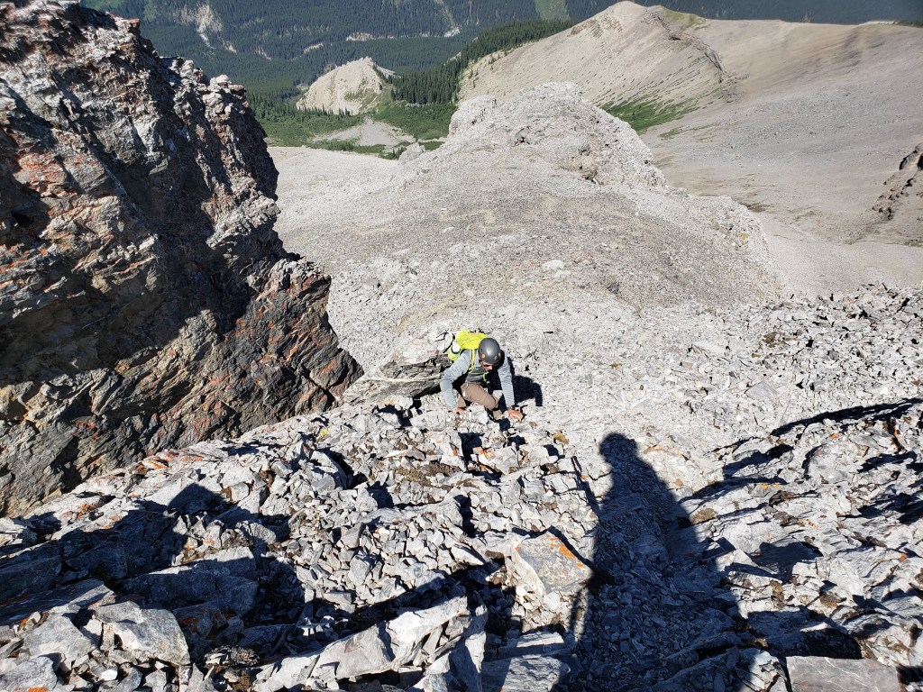
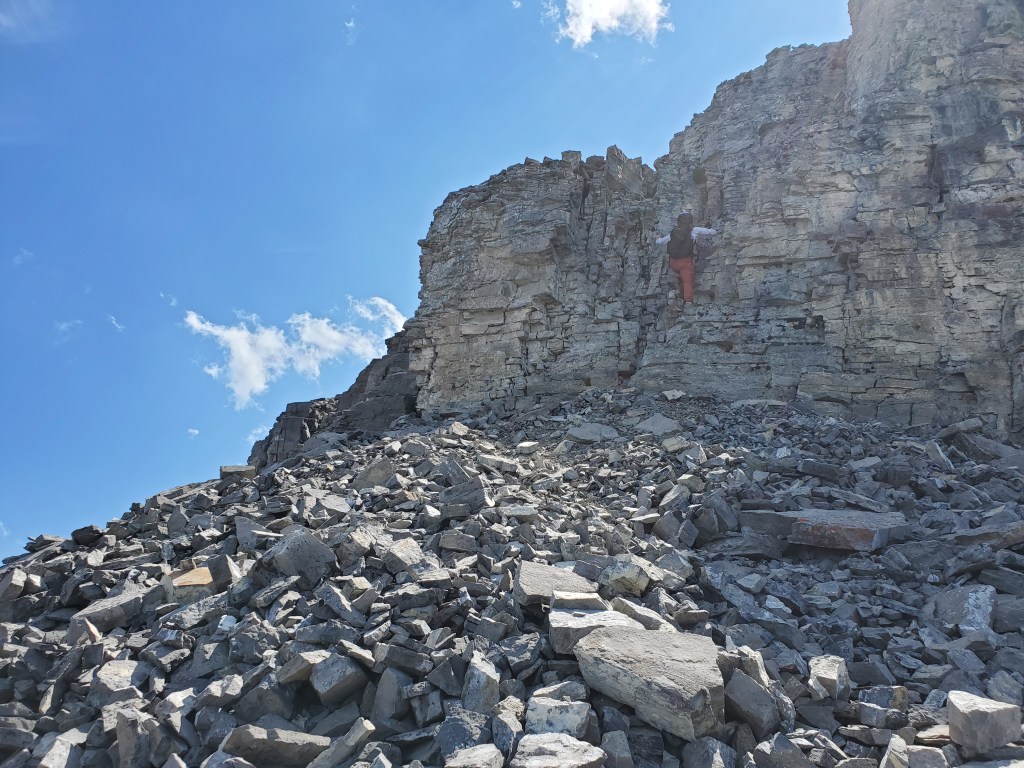
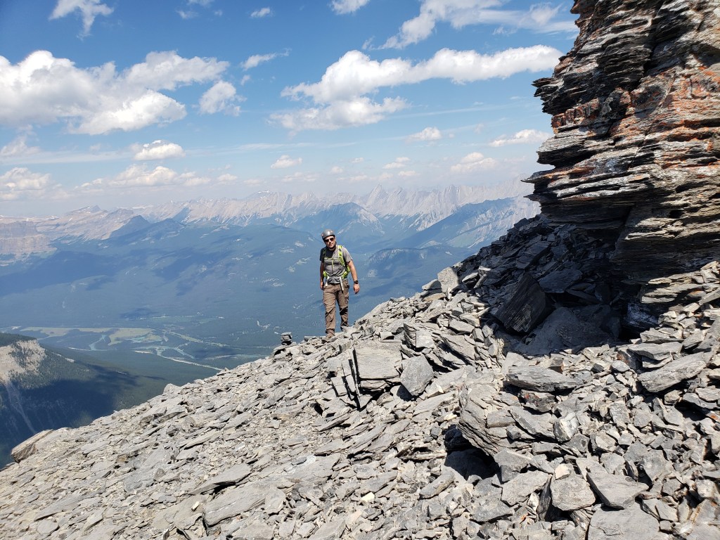
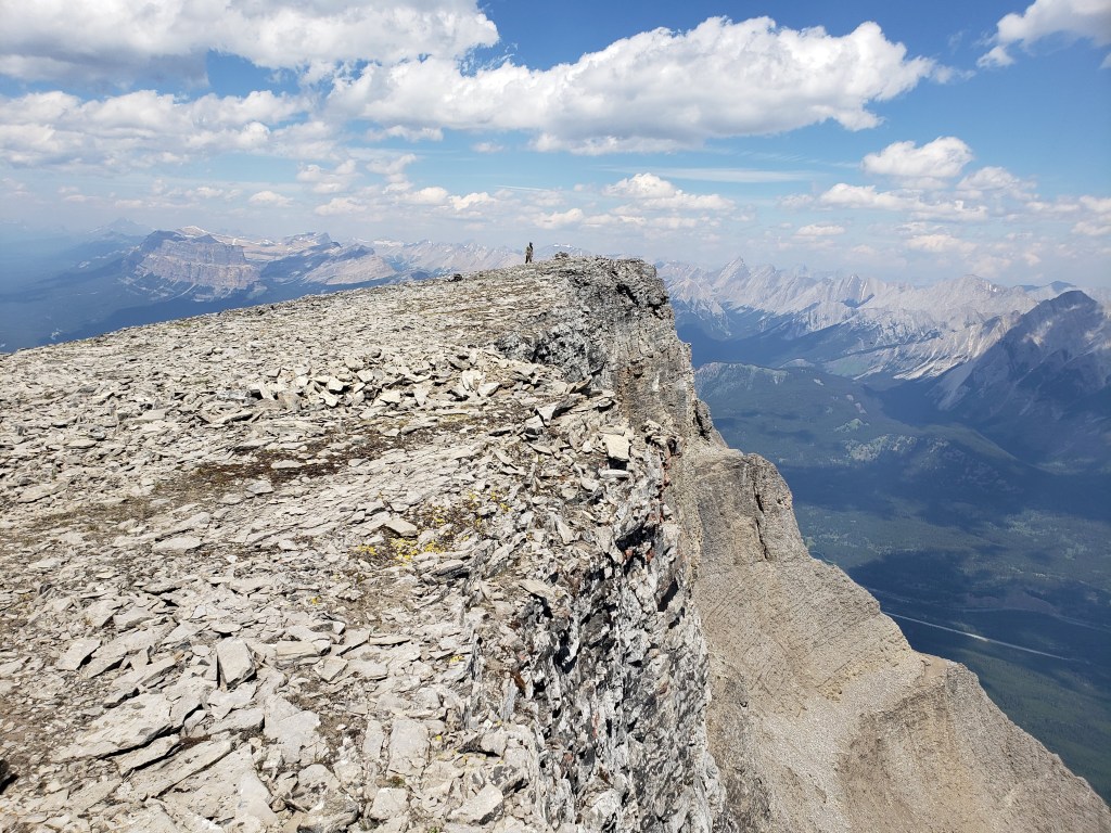
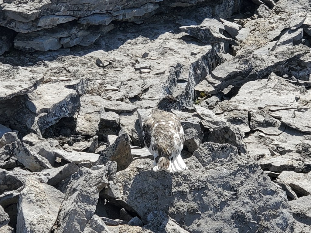
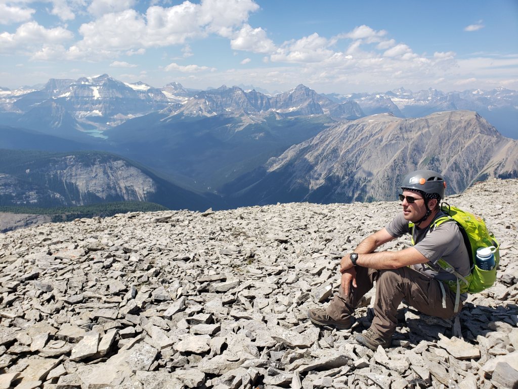
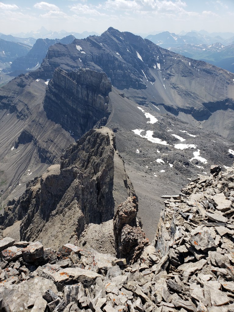
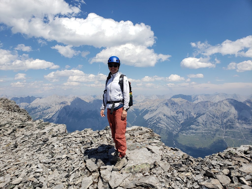
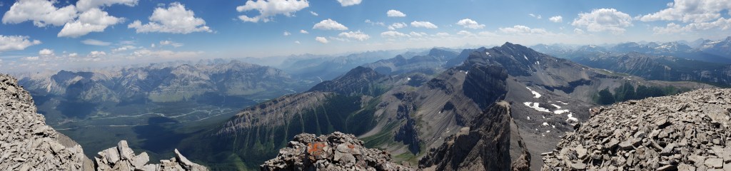
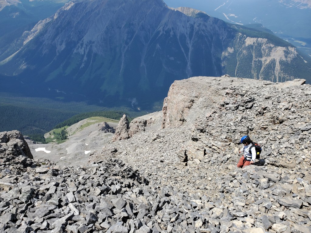
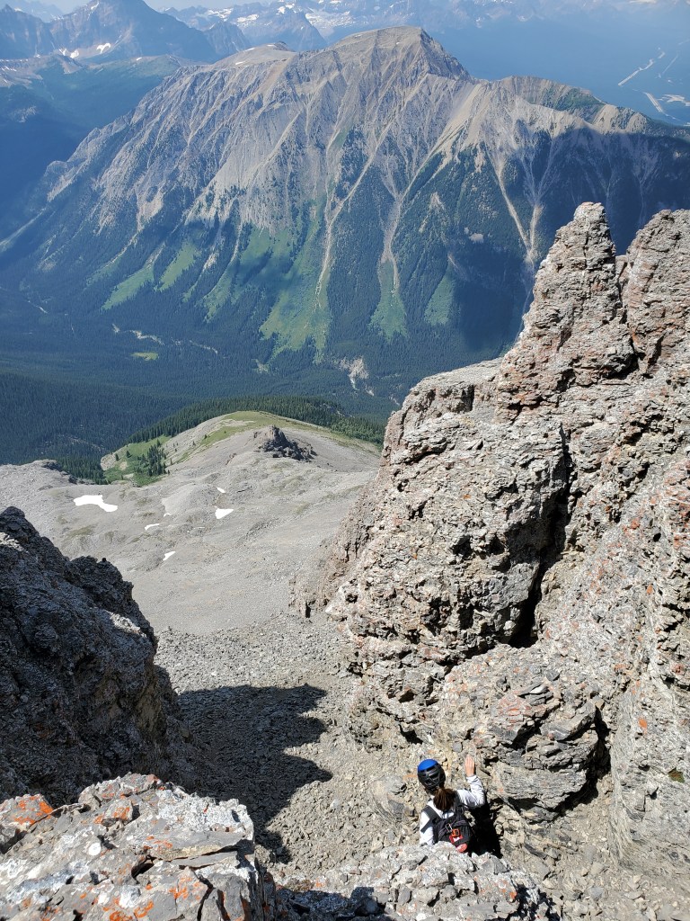
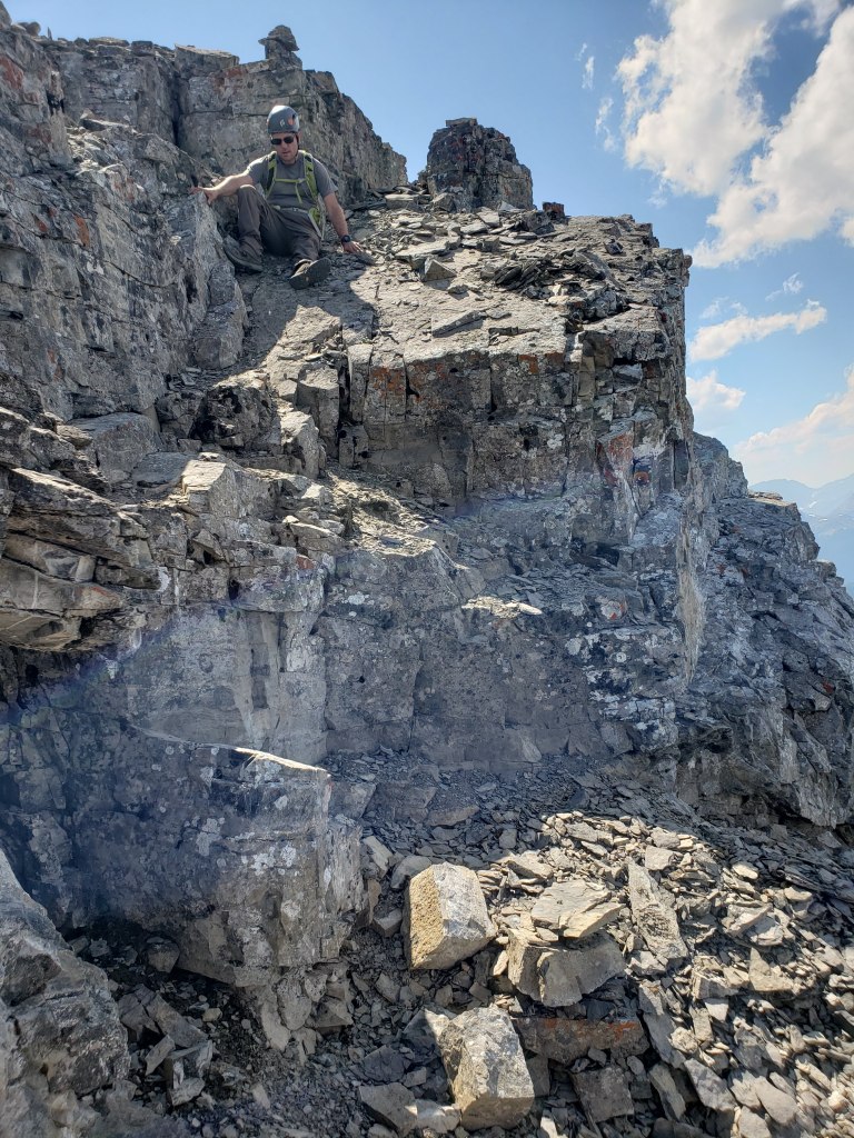
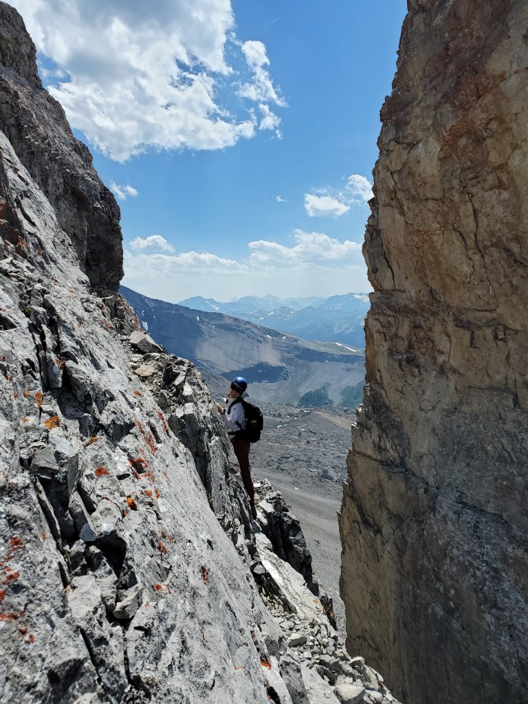
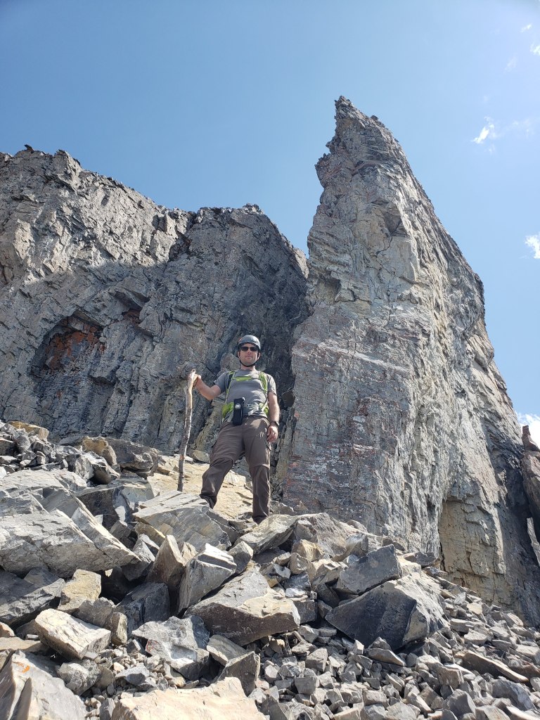
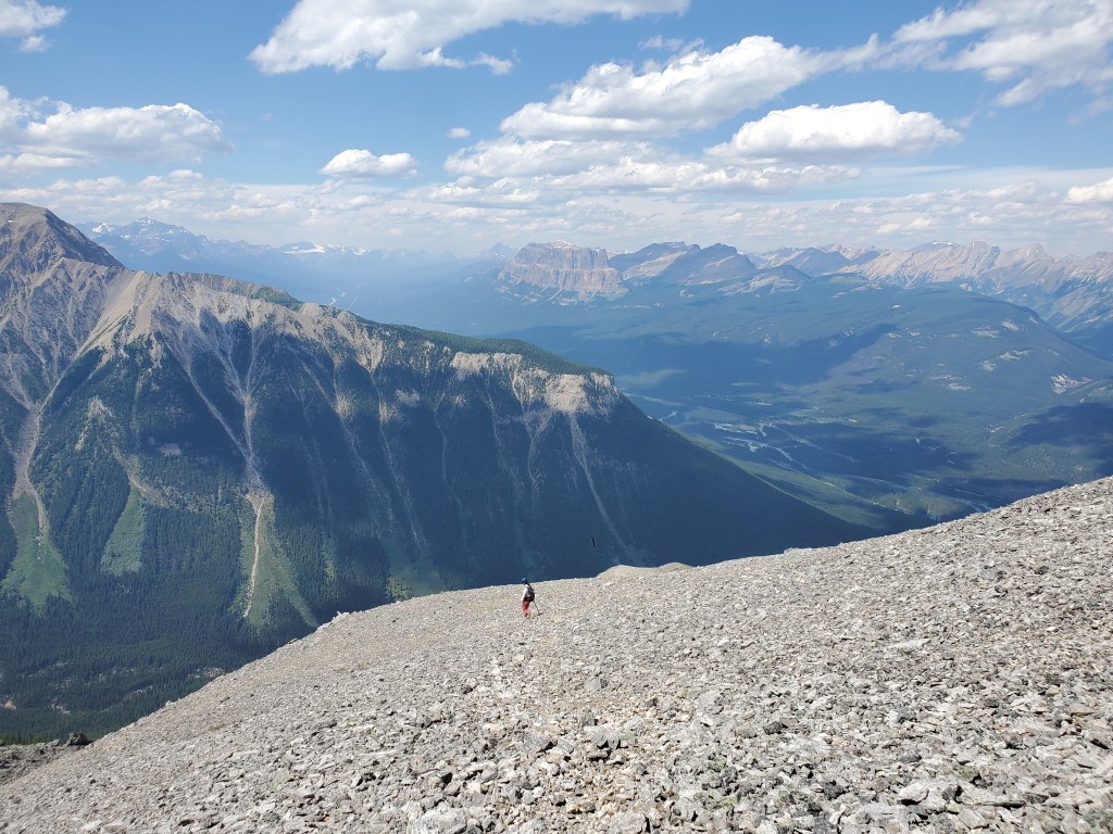
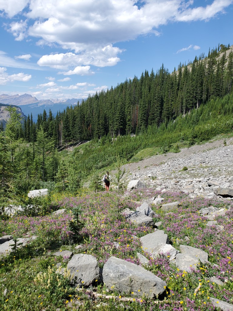
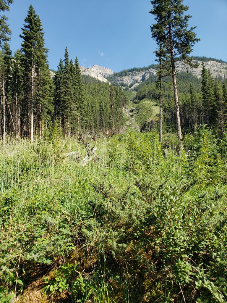
Spirko’s drainage was reached in about 45 min, or 4.6 km of biking. Contrary to previous reports, the way was clear of trees in 2021. It looked like an avalanche had cleared the the drainage within a few years prior to our trip; but, not wanting to get off route so soon, we tucked our bikes into the trees and began our trek on Spirko’s trail, which starts ~50 m past the avalanche path. In hindsight it would have been just as easy to head straight up the avalanche path. The trail rises through the trees for 15 min before zig-zagging into the avalanche path. The route continues up the avalanche path the rest of the way to the rock band seen ahead.Looking down Spirko’s drainage, now clear of trees.We approach the rock band. This formidable cliff is bypassed by bushwhacking around to the right and the hanging valley is reached by moderate scrambling.Above the rockband is a series of ledges. At this spot we traversed from the lower-right to the upper-left, keeping to the right of the flowing water. The ledge above holds a short section of dense bushwhacking.Clearing the trees, we turned right to catch our first glimpse of the summit (left). We’ll be angling right to reach the northwest ridge at the pinnacle ahead (center). Reaching the northwest ridge, with Copper Mountain in the background.We skirted around the back of the pinnacle. Do you ever feel like you are being watched?Looking back at the pinnacle. I see that these two sheep are the kings of the castle. There were several more sheep sunning on and around this block.Trudging up scree to Pilot Mountain’s summit block. We are aiming for the flake at the left of the summit block, which blends in with the cliff from this angle.Once beside it, the flake became very obvious. The flake is the highest point in this picture, just right of Dan. This massive monolith fell off in September 2021 and now lies at the bottom of the scree slope. The gully at the left side of this photo looks like the next best route through the crux, but I haven’t personally verified that it will go and it looks a bit harder. Have you tried this or another line? Comment at the bottom with how it went!The rubble pile between the cliff and the flake was only moderate scrambling, but everything here felt precariously balanced and I proceeded as swiftly as caution would allow.From behind the flake there was a traverse on a solid shelf before continuing up. This photo is looking down at Dan, just past the traverse and beginning up. It is difficult to see in this photo but this loose section is directly above the cliff seen two photos ago and felt like the sketchiest part of the day – there is considerably more fall exposure than this angle shows. The gully would top out just to the right of this photo and I expect the terrain above it is just as loose and exposed.A few more short cliffs are gained on the way up. Small cairns helped guide us to the easiest lines as we zig-zagged onward.Dan traverses around the final cliff band, passing a small cairn. We continued traversing around the cliff until turning left into the gully ahead, tucked behind the pointed spire. We grabbed additional photos on the way out.Once above the gully, a flat walk across the surprisingly broad summit plateau leads to the peak of Pilot Mountain.A trio of ptarmigans startled us with their movement, after appearing out of thin air. They are well-camouflaged with the rocks! Looking west from the summit, the impressive glaciated north face of Mount Ball stands above Shadow Lake (left). Copper Mountain is the nearest mountain at the right.Looking south from the peak of Pilot Mountain to Mount Brett.Views to the north include Mount Ishbel (left), Cockscomb Mountain (center), and The Finger (right).Summit panorama.Returning the way we came, through the large gully in the upper cliff. The pointed spire mentioned a few photos back is at center. The pinnacle/sheep-party is in the distance behind it.Smaller cliff bands within the gully slow progress down the loose terrain.Continuing down the gully. The pointed spire is hidden at the right. Here we will turn right and traverse back along our ascent route.Beyond the gully and picking our way down small cliff bands as we zig-zag back toward the flake.Oh my, now Dan is the king of the castle. This small cliff band is quite vertical, but not that exposed. I would probably only put this downclimb at moderate scrambling.Continuing down, small cairns aided us in retracing our steps. We are heading to the lobe at the left, where a cairn will mark the gentlest descent line.A small cairn near the end of this lobe marks the right-turn to the easiest path down.We finally reach the flake. I felt that this loose section above the traverse was the trickiest part of the day, due to its exposure. If descending here now, post-flake, I would be trending to the right to the top of the steep gully, which doesn’t look any better. Remember: there’s a cliff here, though the angle doesn’t show it.The traverse to get behind the flake was on solid rock with good hands.One last shot of the flake, beloved by scramblers. The flake fell less than two months after this photo was taken.Descending back down to the drainage. The impressive Castle Massif stands at center.Returning to the water course, eagerly welcomed by mosquitoes. Looking back up the avalanche path from the trail. We retrieved our bikes from the trees and glided downhill the rest of the way back to the parking lot, roughly 15 min out.
We made it back to the parking lot in 9 hrs. As much as I would have loved to add Mount Brett to the trip, we still had to make the drive home to the Edmonton area. That one will have to wait for another day!


One thought on “Pilot Mountain (2935 m)”