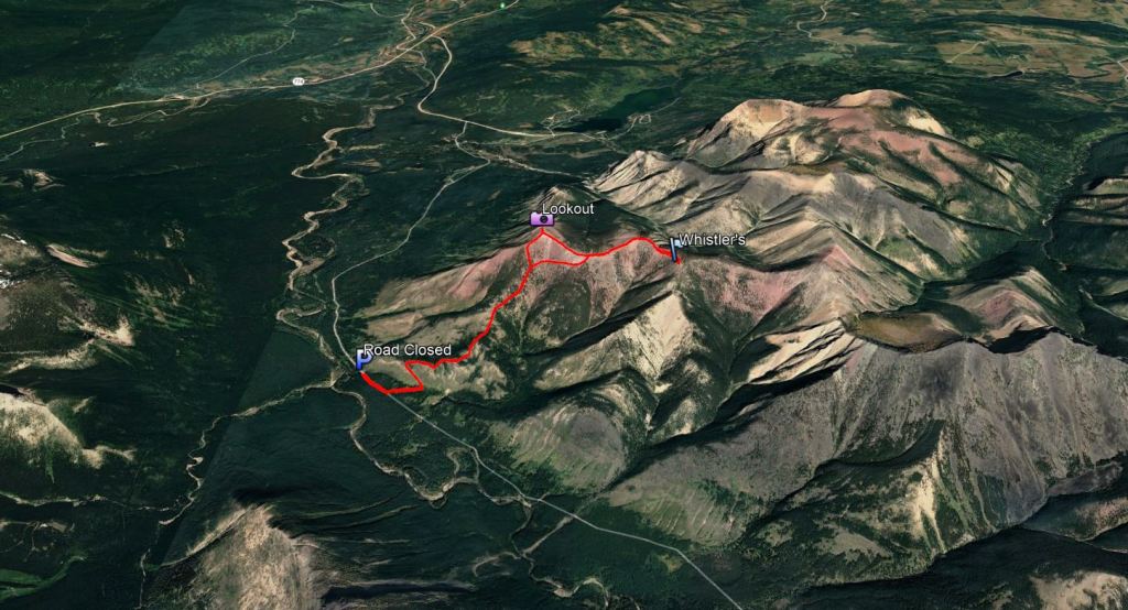
Notes: Rough road to reach parking for trailhead, open June to November.
Trip Report
Whistler Mountain is a scenic hike with no real scrambling. If continuing on to other peaks, this would be a longer day with scrambling, but Whistler alone makes for a short, sweet day. Driving in, we found the turn-off from Beaver Mines Lake and then followed the road as far as allowed. The road was barricaded and gated just before the turn-off for Whistler Mountain. Our low-clearance vehicle with AWD was just able to make it to the barricade, but we raised a few eyebrows when we pulled up beside the rest of the trucks. From the gate it’s only about 350 m of walking along the road until the turn-off to the Whistler Mountain trail.
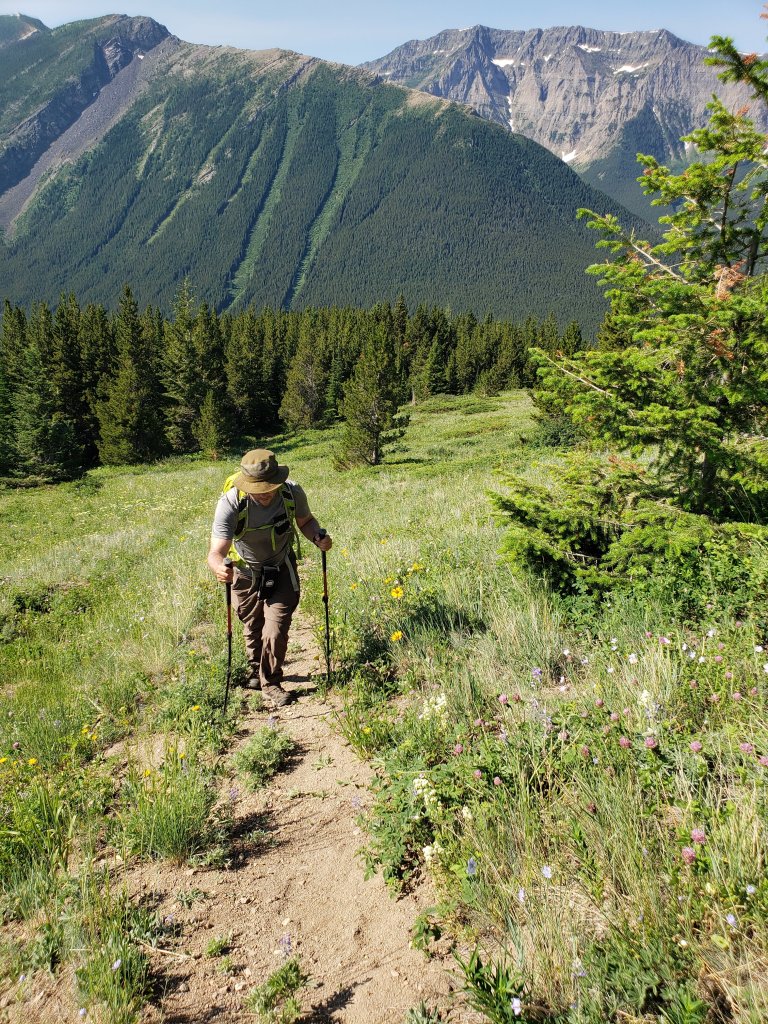
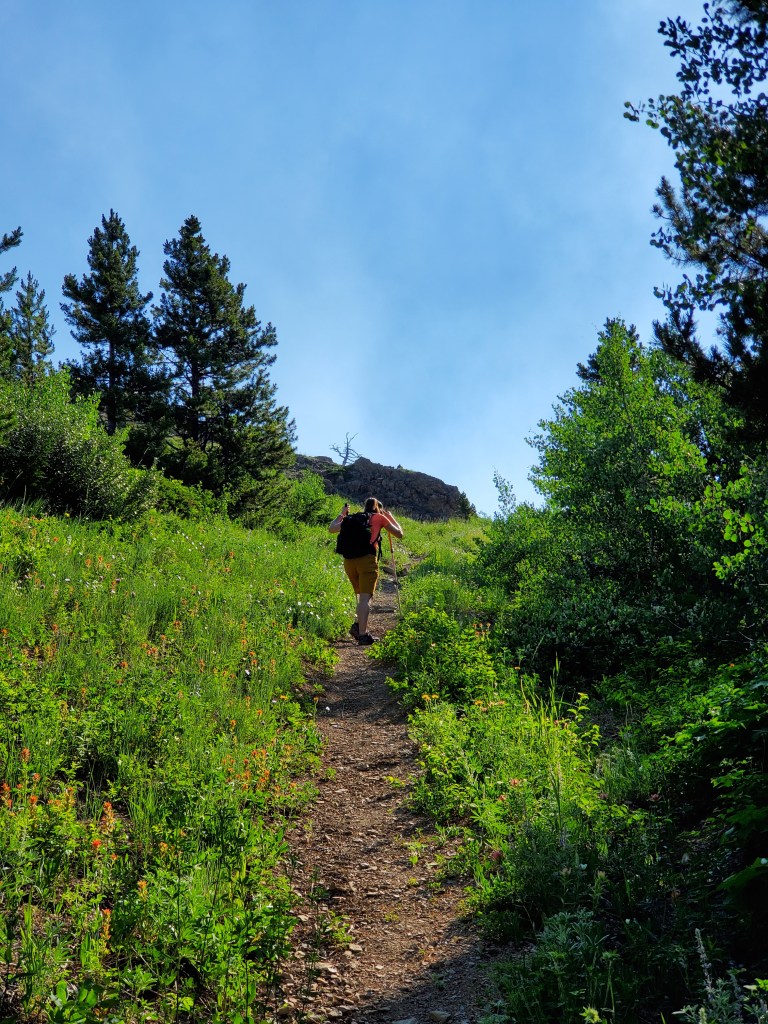
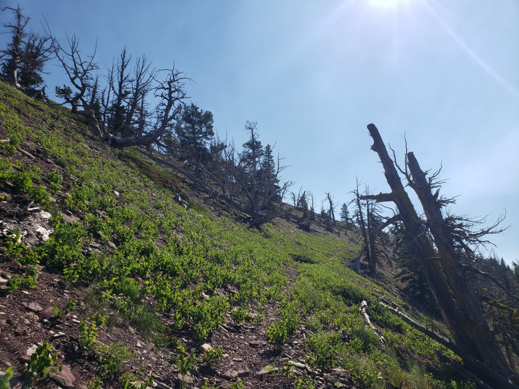
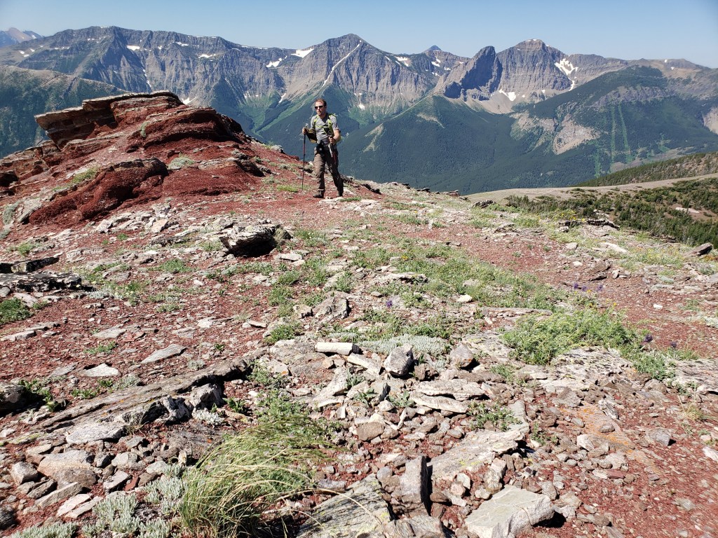
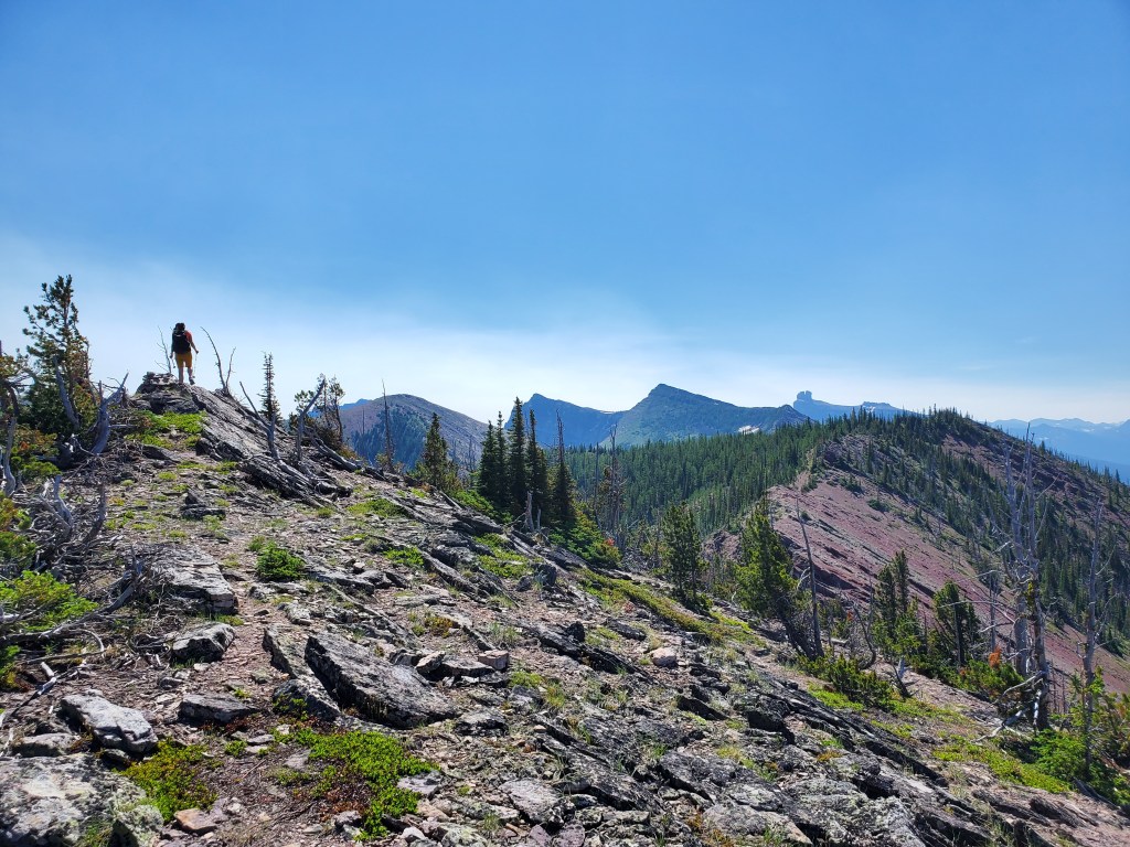
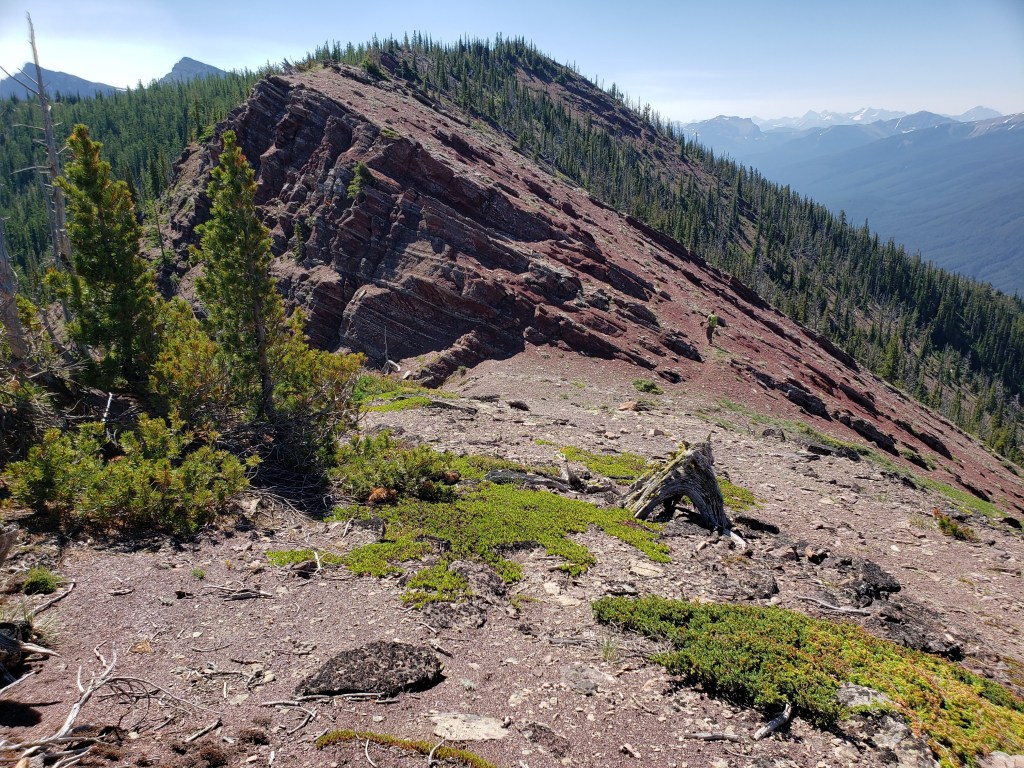
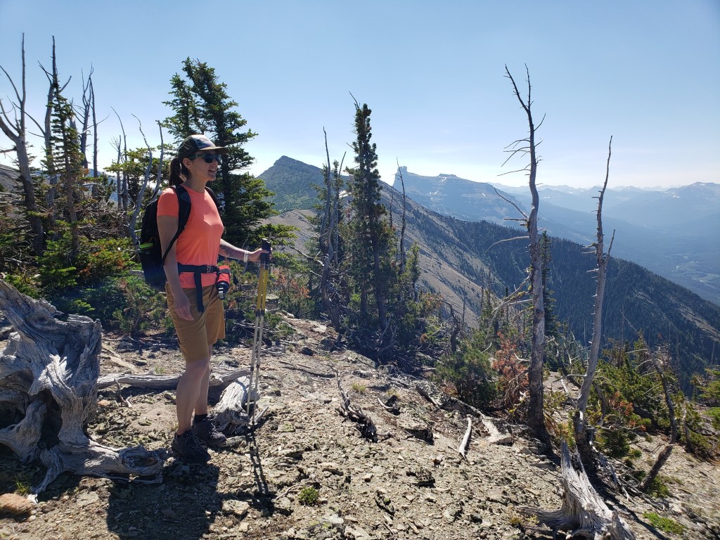
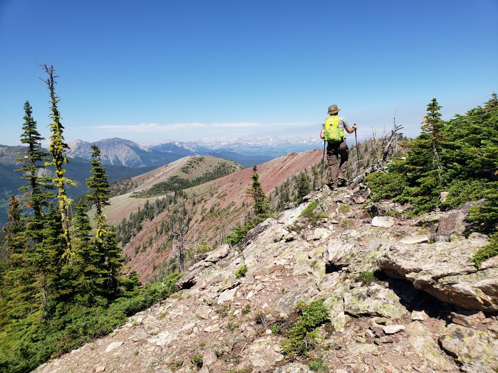
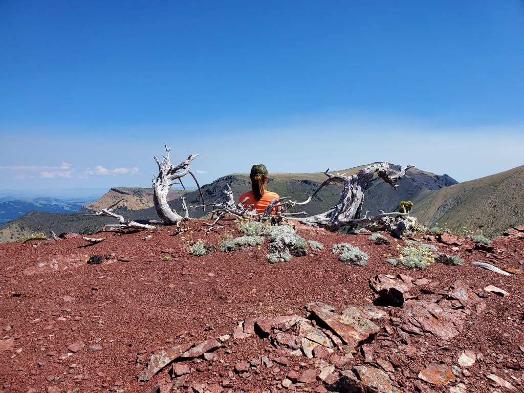
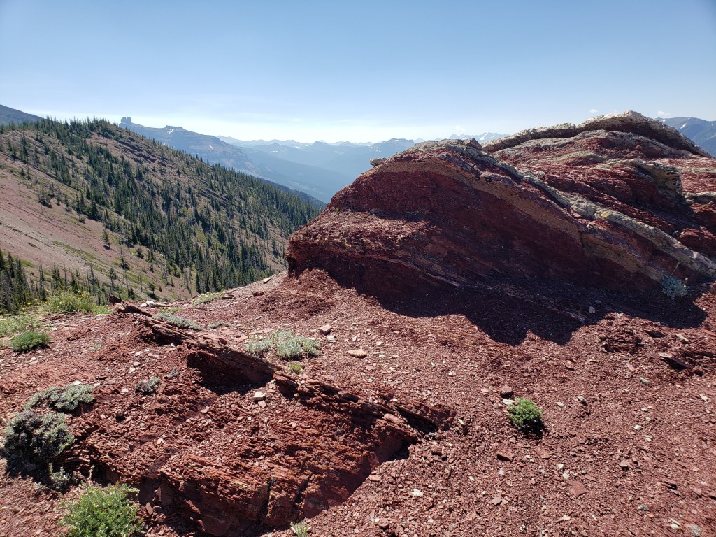
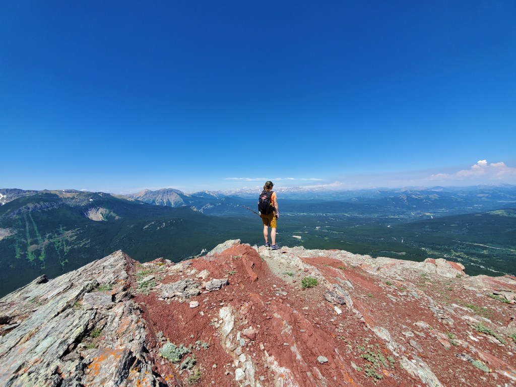
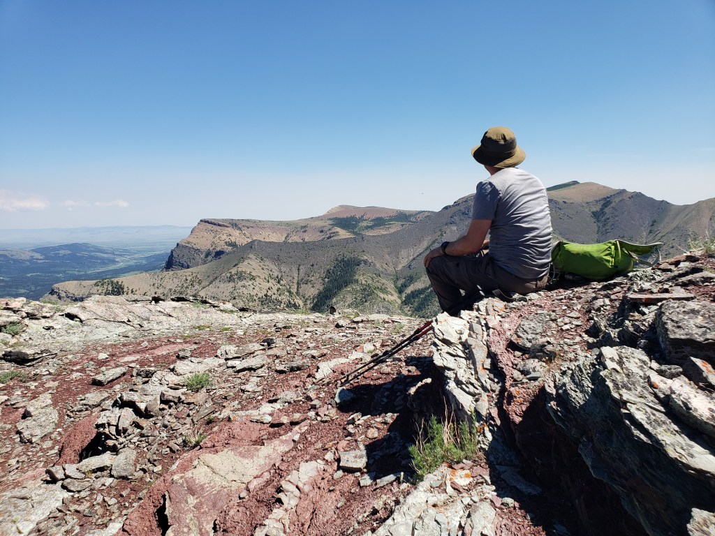
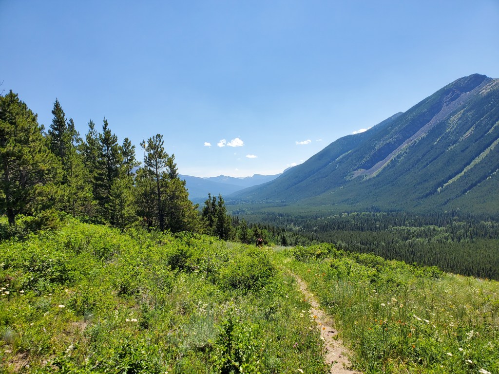
We kept a lookout for the turn-off from the road. Once we’d found the turn, the rest of the hike was easy to follow on decent trails.Continuing up the trail through pleasant meadows of July wildflowers.Near the top we veered right onto a faint trail heading toward the true summit. Keeping left would have lead to the lookout. We’ll eventually loop around to the lookout and use that trail as our descent line.Once on Whistler’s ridge, views opened around us. The peak above Dan is Barnaby Ridge and the small blip at the far right is Southfork Mountain. The tall peak and buttress between the two is unnamed, but sometimes unofficially called “The Amoeba”.The ridge walk along Whistler Mountain is kept interesting with bright colours and curious rock formations.Parts that look spicy further back turn out to have easy trails bypassing them.The summit register was on a high point just before the true summit. The true summit was surprisingly nondescript, hidden in a stand of trees with no sign that anyone considered it a destination. The high point further back in this picture is GR978676, but we chose to keep this as a rest day and turn back here.Returning back along the ridge. Rather than turning left to descend the treed slope again, we’ll first continue to the lookout at the end of the ridge.Pausing along the ridge. The false summit of Table Mountain is at the left.Looking back at Castle Mountain (background, left) and interesting rock formations (foreground, right) along the ridge.The lookout is clear of trees and offers sweeping views across Castle Provincial Park.Looking to the right (north) at Table Mountain.After enjoying the views from the lookout we turned back down the slope behind us and looped back to the trail we’d hiked in on.Heatwave vibes.
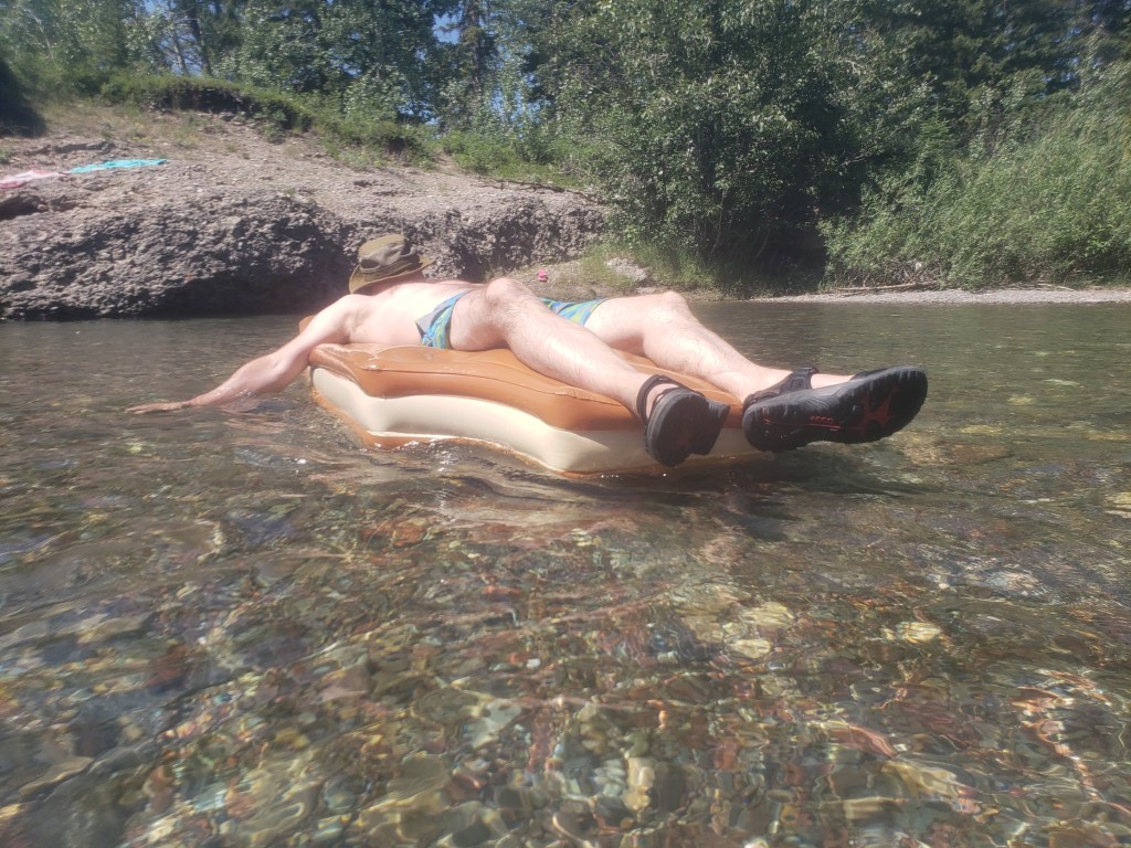
We made it back to our vehicle in just over 4 hrs. Our early start ensured we finished hiking before the hottest part of the day. By the time the temperatures reached 35 °C we were relaxing in the Castle River. Several children, boundless with energy, were walking up and then tubing down the river at Castle River Bridge Campground. We were quite content to avoid the crowds and just float in a shallow spot, out of the current. Overall this was a thoroughly enjoyable rest day.