Being only 45 minutes up, Sumas Mountain is a suitable hike for small children. I have done it a few times over the years. On this trip Dan and I decided to extend the day by detouring over Taggart Peak on the return route. However, the detour didn’t offer any additional interest. Most locals consider the entire mound to be Sumas Mountain and wouldn’t count additional high points as summits. The mountain is heavily treed with few viewpoints.
If looking for a longer day, and a true hike up Sumas from its base, Centennial Trail is a popular option. I’ve always started this hike further up the mountain at Sumas Mountain Regional Park. The gravel road up is in good shape, but does require awareness of wheel placement to avoid bottoming out. If looking for views without the drive, the Abby Grind is a fun, quick leg-burner on the south side of Sumas Mountain. The Abby Grind looks out over Sumas Prairie, making it a particularly great choice in May when the tulip farms are in bloom. In contrast, the peak of Sumas Mountain looks out over Barrowtown and Greendale.
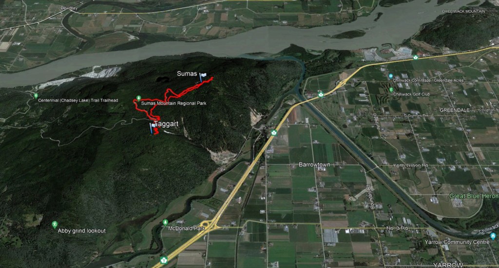
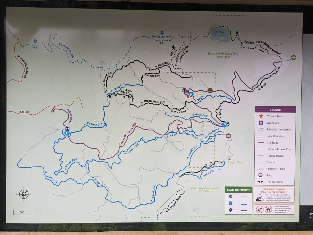
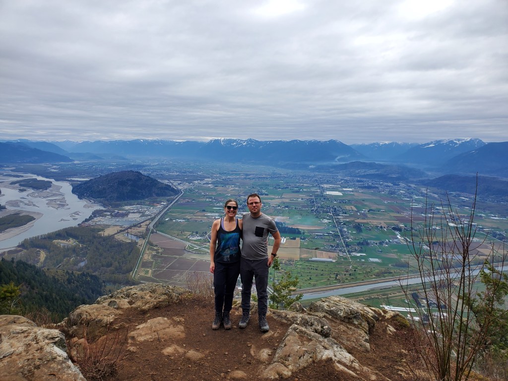
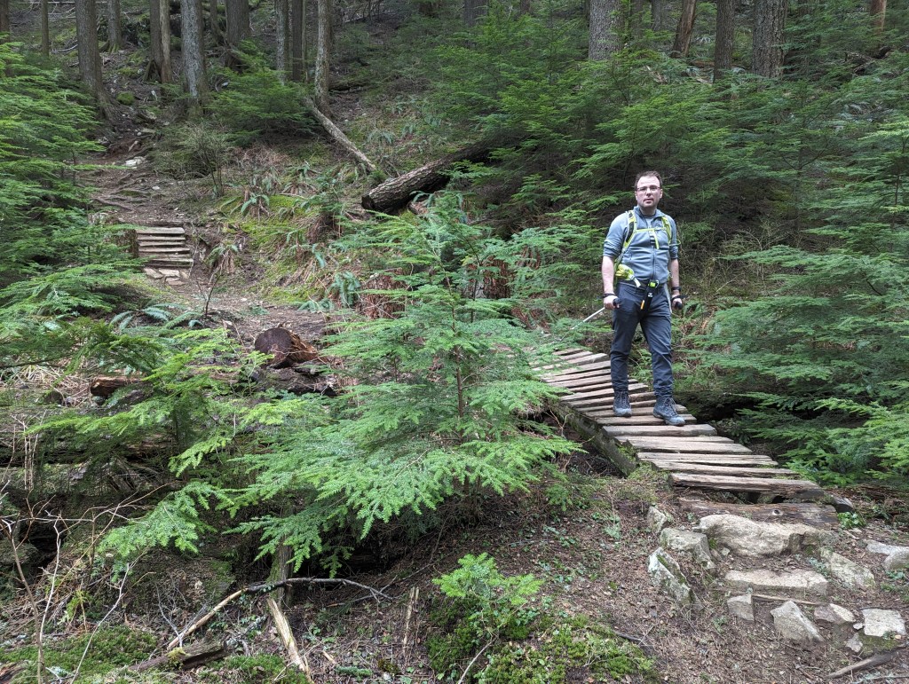
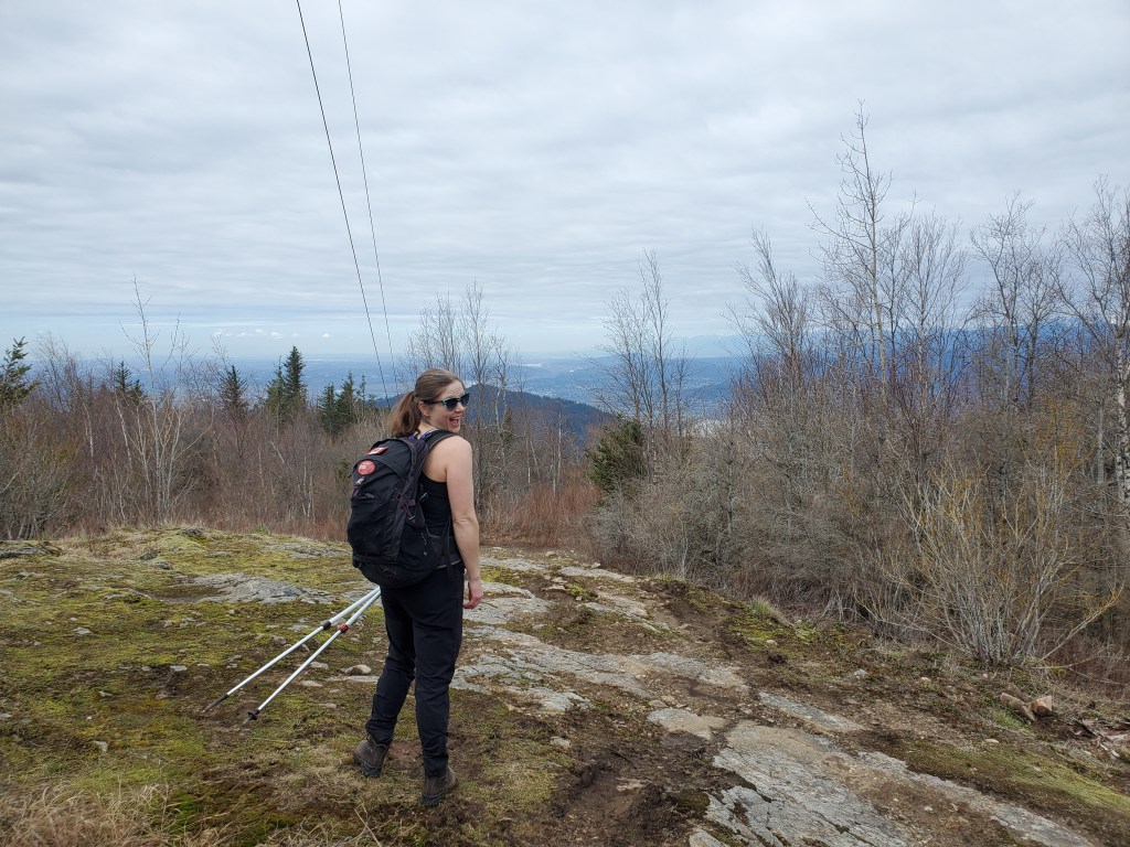
This area is much more popular for mountain biking than for hiking. From where we parked, at the star, we will walk the purple road up to the peak.The walk up the road is unremarkable, but passes quickly. Just before the communications towers we will turn right and follow a short trail to the peak.Trees have mostly grown in around the peak over the years. After pausing here we continued on the trail for a few more minutes to another viewpoint.The second viewpoint offers views of the Fraser River (left), Greendale (center) and Barrowtown (bottom-right). The small, treed hump at the left is Chilliwack Mountain. Elk Mountain and Mount Thurston can be seen in the distance, above the smoke plume. Typically the Cheam Range would stand prominently at center, but the peaks are hidden in clouds today.Another shot, looking over Greendale, Barrowtown, and part of Yarrow. The Sumas Canal (foreground) can be seen joining the Vedder Canal (across the center) before flowing into the Fraser River (out of view to the left). The Barrowtown Pumpstation (just out of view, obscured by the trees in the lower-right) operates 24/7 to divert water away from the former Sumas Lake and toward the Fraser River via the Sumas Canal.The trail over to Taggart Peak is obviously meant for mountain biking. This would be a fun ride, but didn’t make for the most exciting hike.Taggart Peak offers little in the way of views. Once the trees have leaves, I wouldn’t expect any views at all. The two lines slicing down the left side of the photo are guy wires on a communications tower. The hike back out from Taggart is along this gated road. The road soon meets up with the main road we’d driven in on, which we followed on foot back to the parking lot.
We made it back to the parking lot in 3 hrs. If doing this one again I would simply hike to the peak of Sumas Mountain and then return by the way I’d come, allowing 1 hr 20 min.
Appendix
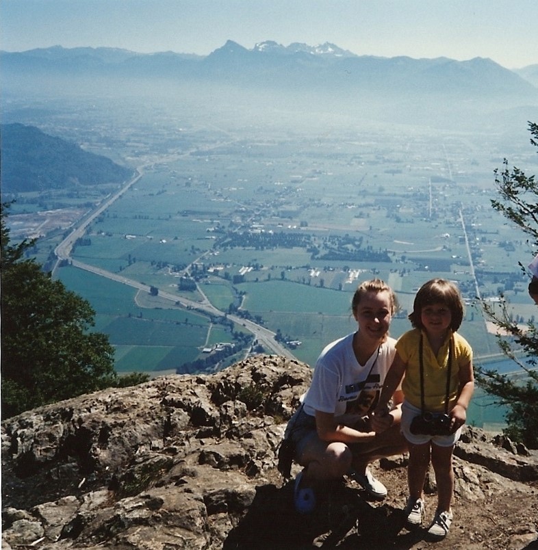
The view from the peak of Sumas Mountain, circa ~1990.
At center, the peaks of the Cheam Range rise above the smog. Air pollution has been a major concern in the Fraser Valley for as long as I remember. Contaminants tend to become trapped by the surrounding mountains and build up in the valley.


One thought on “Sumas Mountain (910 m) and Taggart Peak (796 m)”