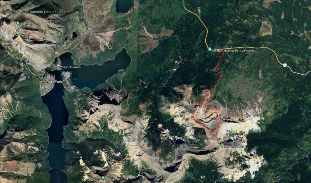
Notes: Traversed counter-clockwise (north to south to east). Don’t trust cairns on the descent route.
Trip Report
Sofa Mountain lies at the eastern edge of Waterton National Park, in an area spared by the 2017 Kenow Wildfire. The greenery makes for a refreshing break in a Waterton trip. A traverse of Sofa Mountain is optional, but I would say the scrambling is more enjoyable and the extra distance is insignificant.
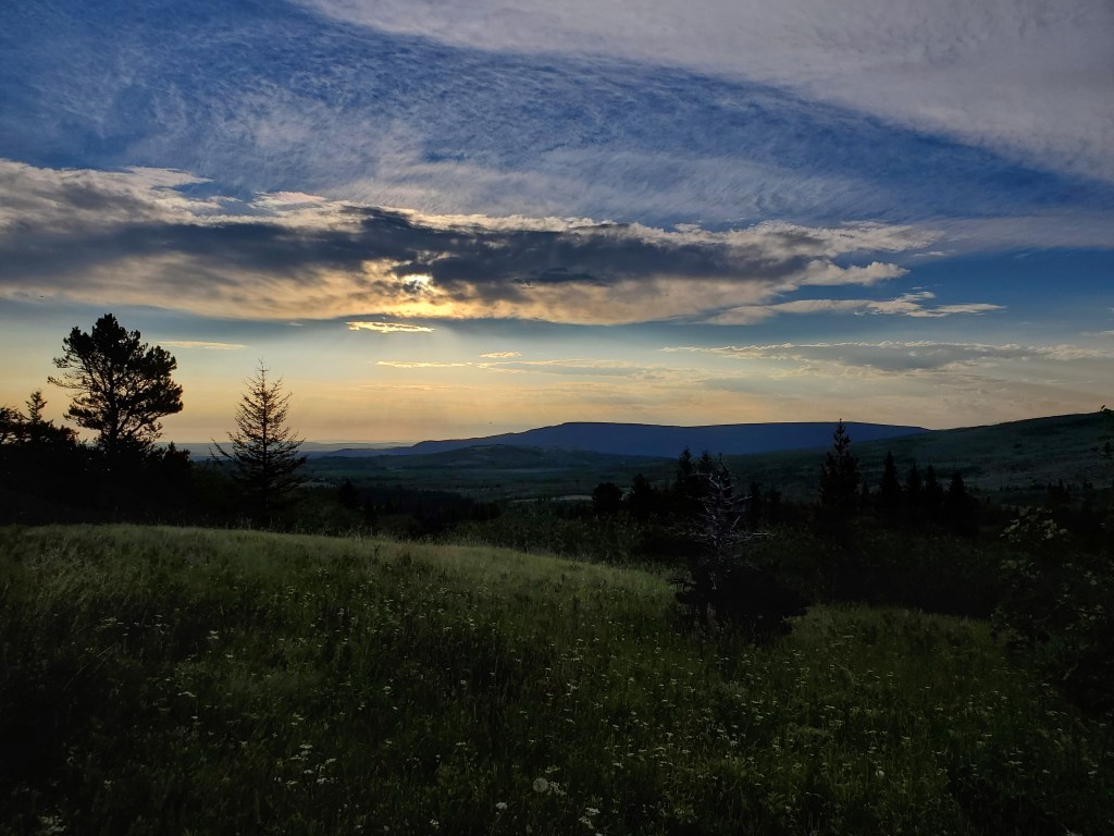
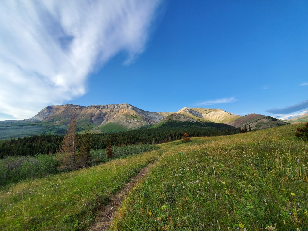
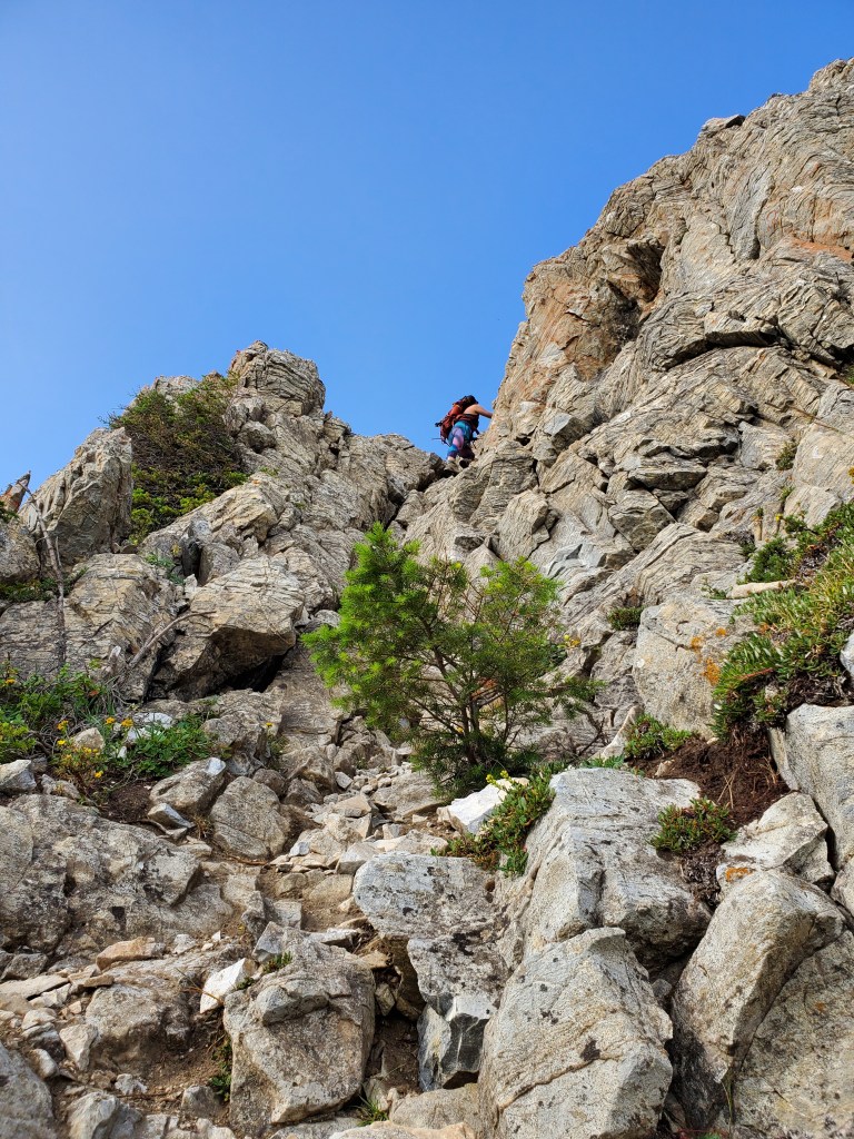
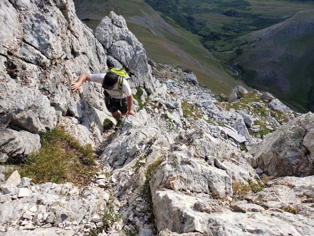
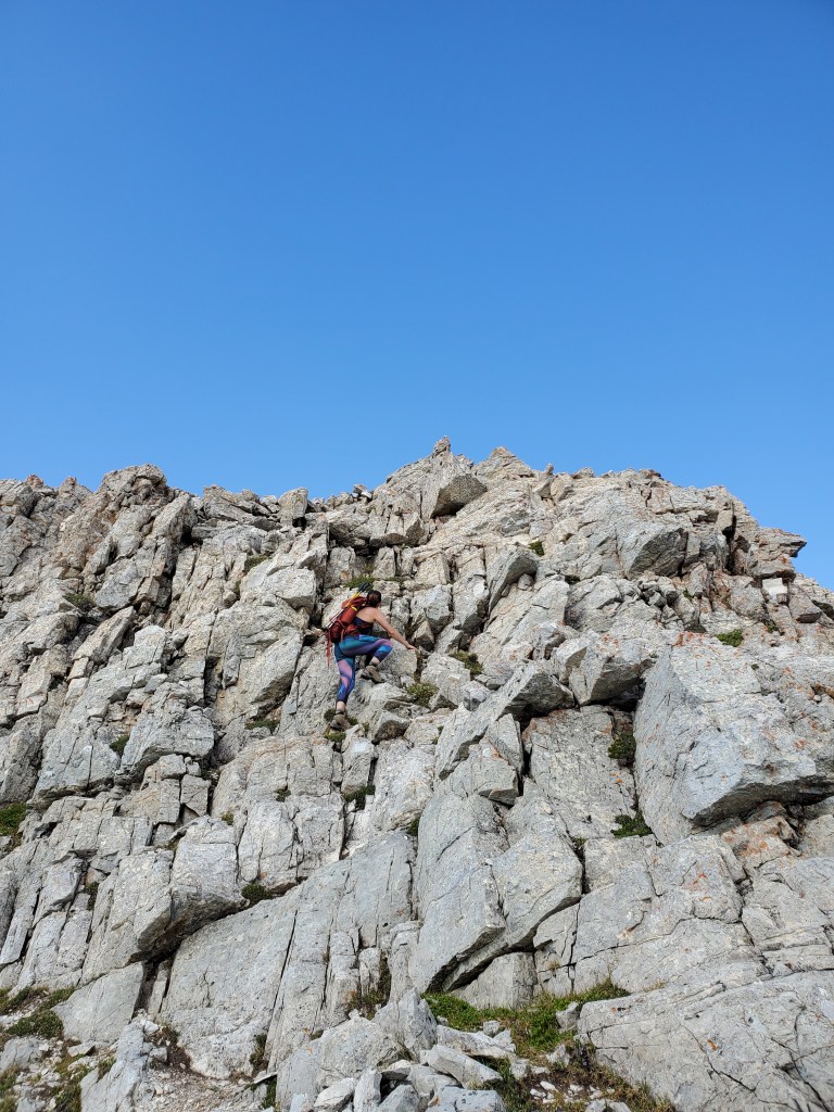
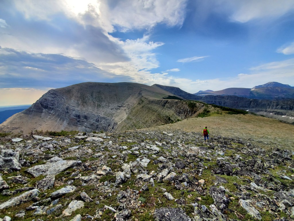
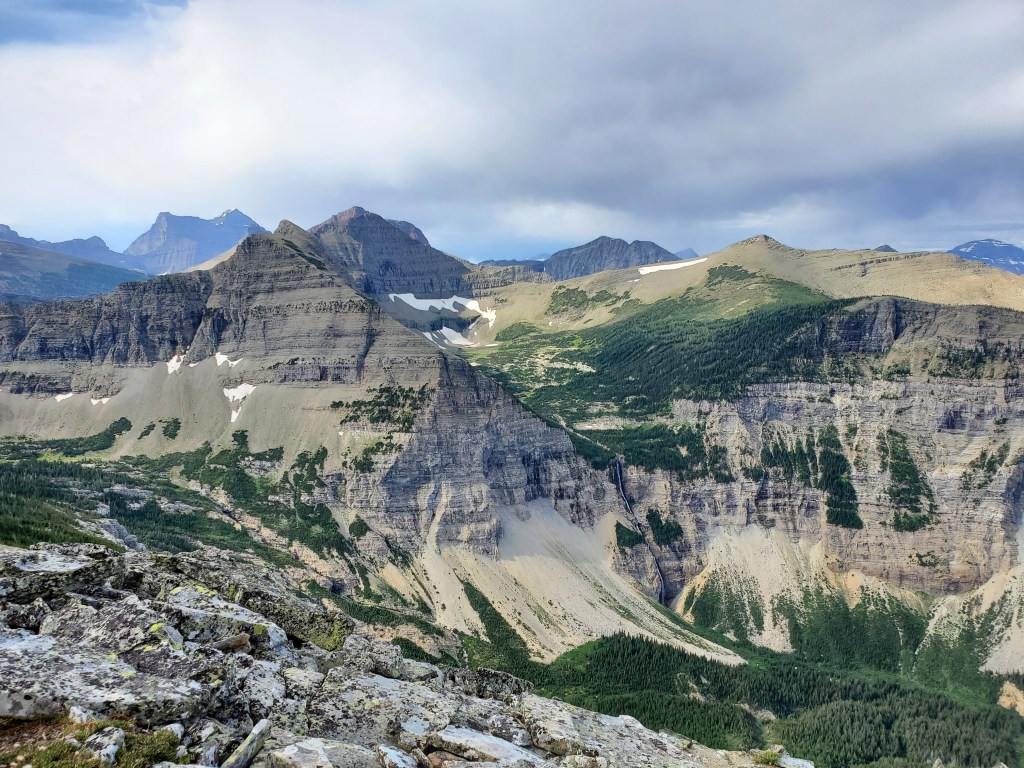
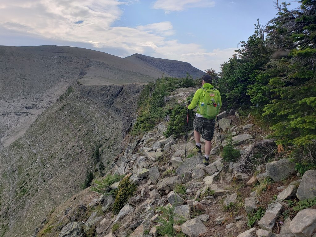
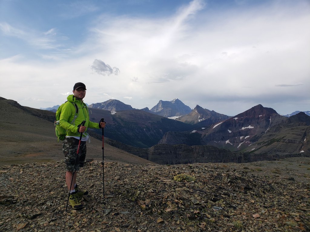
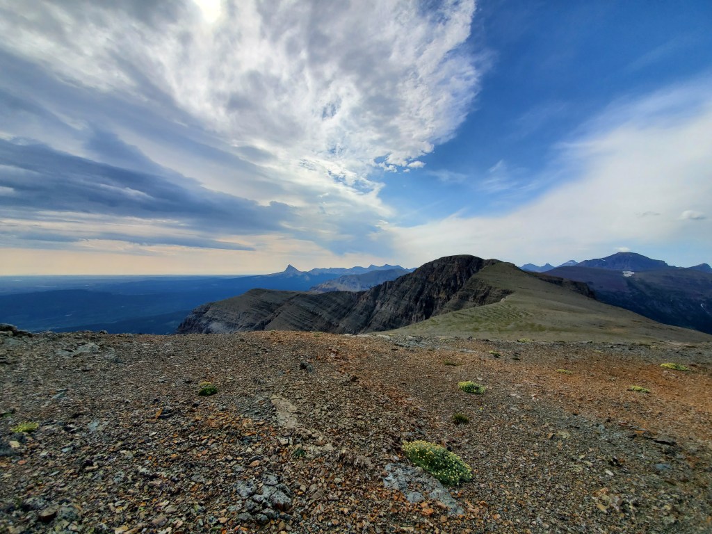
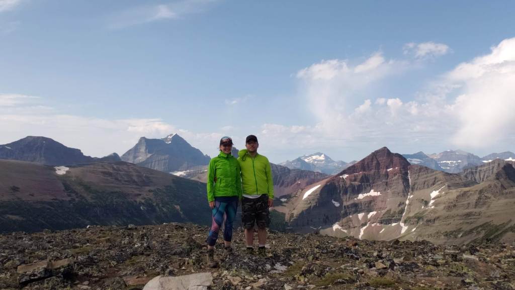
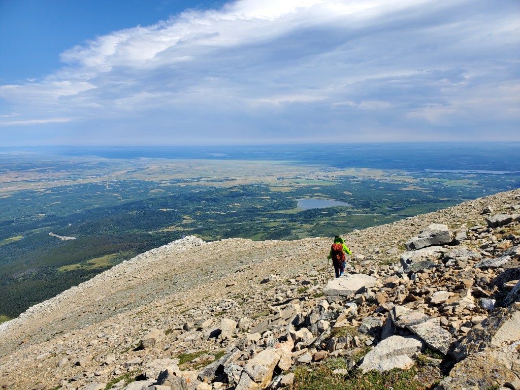
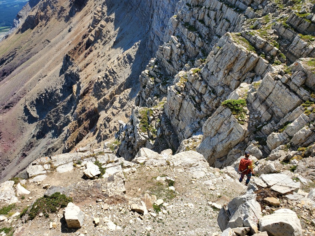
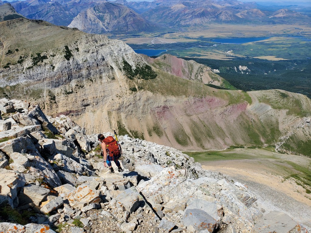
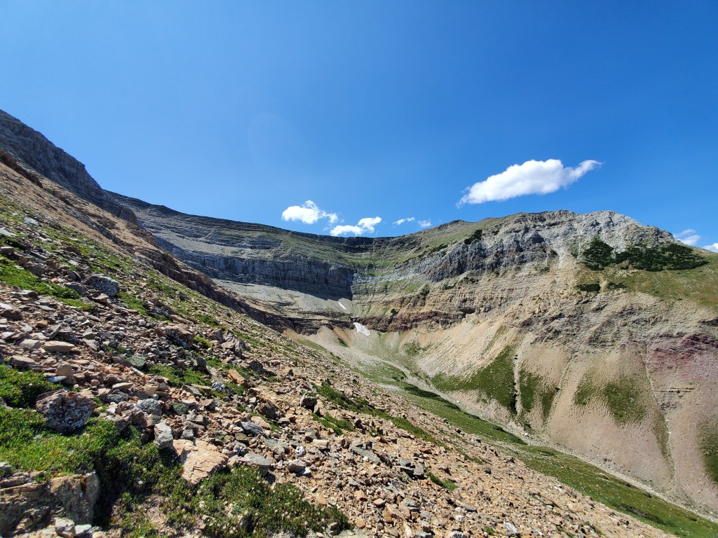
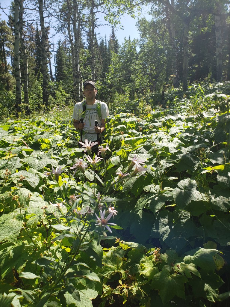
From the roadside pullout, a trail leads through this meadow to the base of Sofa Mountain. This shot is looking back at the foothills of the Alberta prairies.Looking forward at Sofa Mountain, we will start by gaining the ridge along the right side of the center bowl. Eventually we’ll traverse over to the peak at the left before descending by the more popular line, along the left side of the center bowl.Starting up the right side of the bowl. The cliffs up ahead get easier once closer and add fun variety to the day. There isn’t a trail on this leg of the traverse, but the route was obvious.Beware of wildlife!Game trails lead through the cliff band. The moves are fun, hands-on scrambling with only moderate exposure.Looking back at the way we came. The bowl is below, to the right.This section of moderate scrambling was pure joy. I only wish it had been longer!Topping out on the ridge and looking back over the prairies.Once on the ridge, the remaining route to the peak is an easy ridge walk. The peak is behind the mound at center, just barely visible. Our descent route will be down the shoulder at the left.Those that skip the traverse miss out on the view over this impressive waterfall below Arras Peak (to the right, southwest).Continuing around the bowl, the route to the peak comes into better view.Views to the south are of the lofty peaks of Glacier National Park (USA).As we approach the summit, the prominent pointed shape of Chief Mountain stands out left of center.Victory selfie on Sofa Mountain, looking south over Glacier National Park.We returned along the east side of the bowl. The correct descent line trends to the left.Before taking the correct descent line we spotted a cairn to the right and detoured to check if the line would go. It did not. Apparently some folks still don’t understand that cairns are intended as markers. PSA: Stacking rocks for fun and sending scramblers the wrong way down a mountain is not a constructive activity. Perhaps instead try singing.After giving up on our first descent line we scrambled back up to the ridge and scouted out a better looking line. The correct line is mostly easy scrambling, with maybe a few moves of moderate scrambling. We passed a few other groups on the way down the scree slope. They didn’t look to be having nearly as much fun as we’d had on ascent.Reaching the bottom of the bowl and looking back. Our route earlier that morning had gained the solid ridge at the right before traversing around to the left. Our descent line took the steep, loose slope in the foreground.We hiked back out along the same meadow trail. It’s a bit bushy in sections, but still very easy easy to follow.
Including a slight detour, we made it back to the road in 7 1/2 hours. To date, Sofa Mountain is one of my favourite scrambles in Waterton, which I happily recommend to friends. However, if you see a cairn marking the wrong route, kick that trash over.