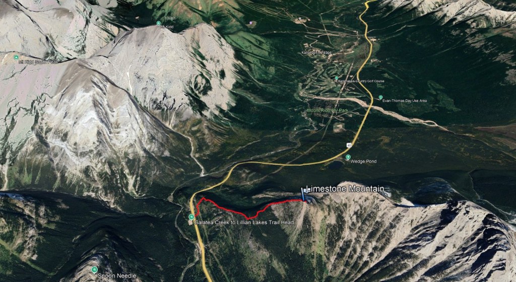
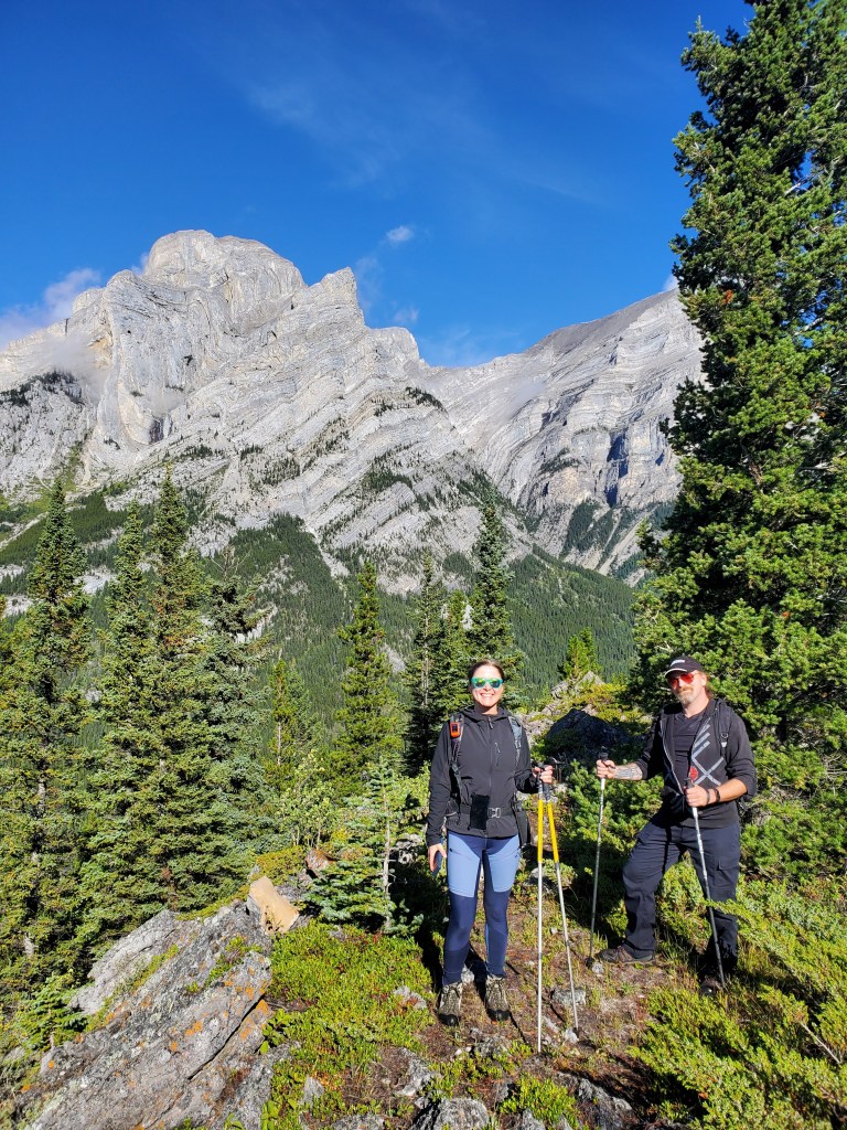
Two popular routes exist up Limestone Mountain: Nugara’s Rocky Creek route (moderate scrambling with exposure) and a west ridge route (easy scrambling). I managed to persuade Dan to come out for an easy day trip after several weeks of resting an injured ankle, and the solid footing offered by the easier west route was just what we needed. We were happy to be joined by our friend Peter for the trip.
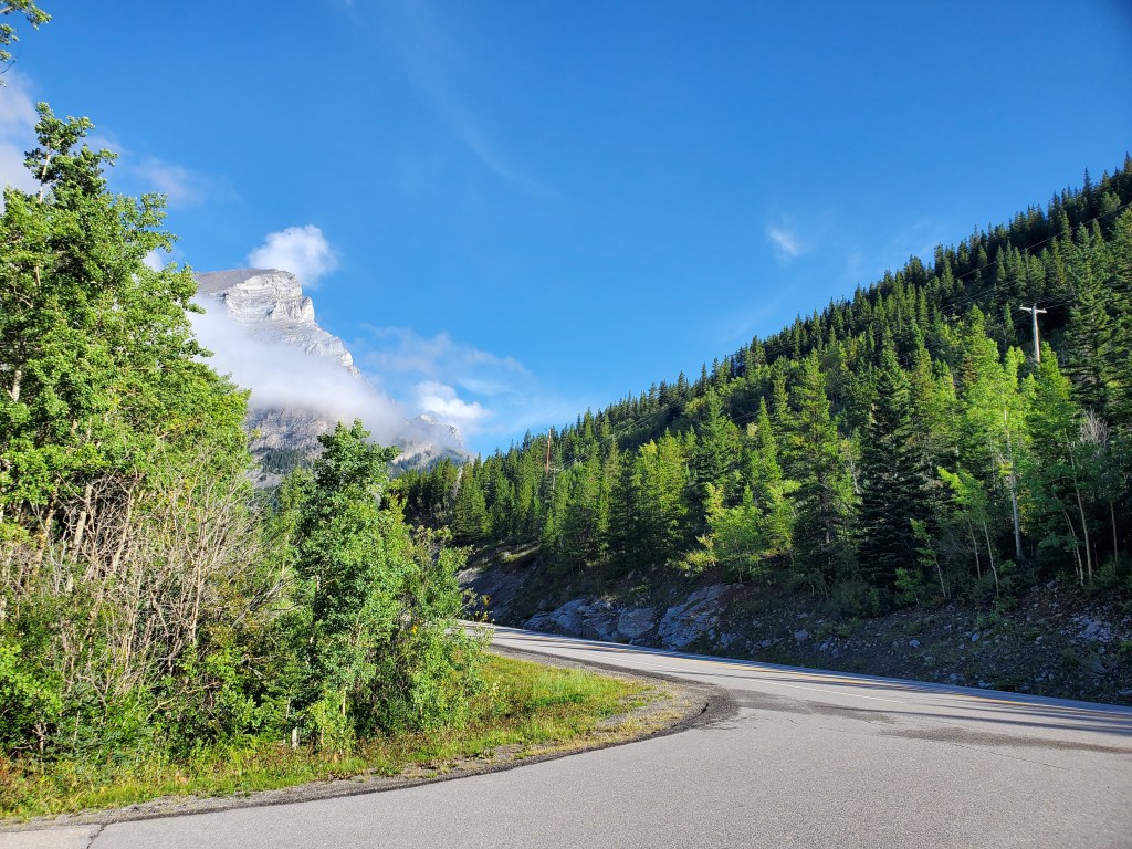
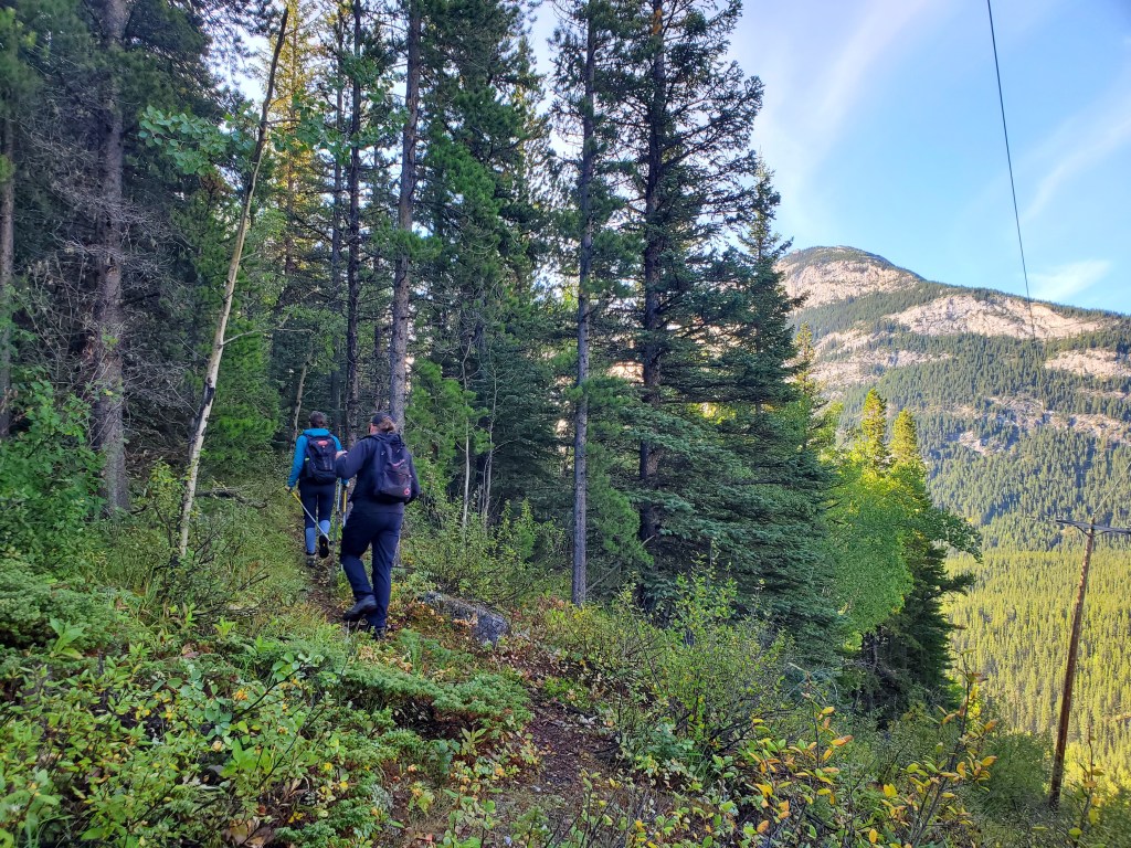
Both routes are described as being a bit bush-whacky. I can’t speak to the Rocky Creek route, but I found the west ridge route quite tame with plenty of game trails to aid in travel. Strong navigation skills are still an asset. Rather than park on the highway we elected to park at the parking lot for Galatea Creek. The overall hiking distance came out to be equivalent.
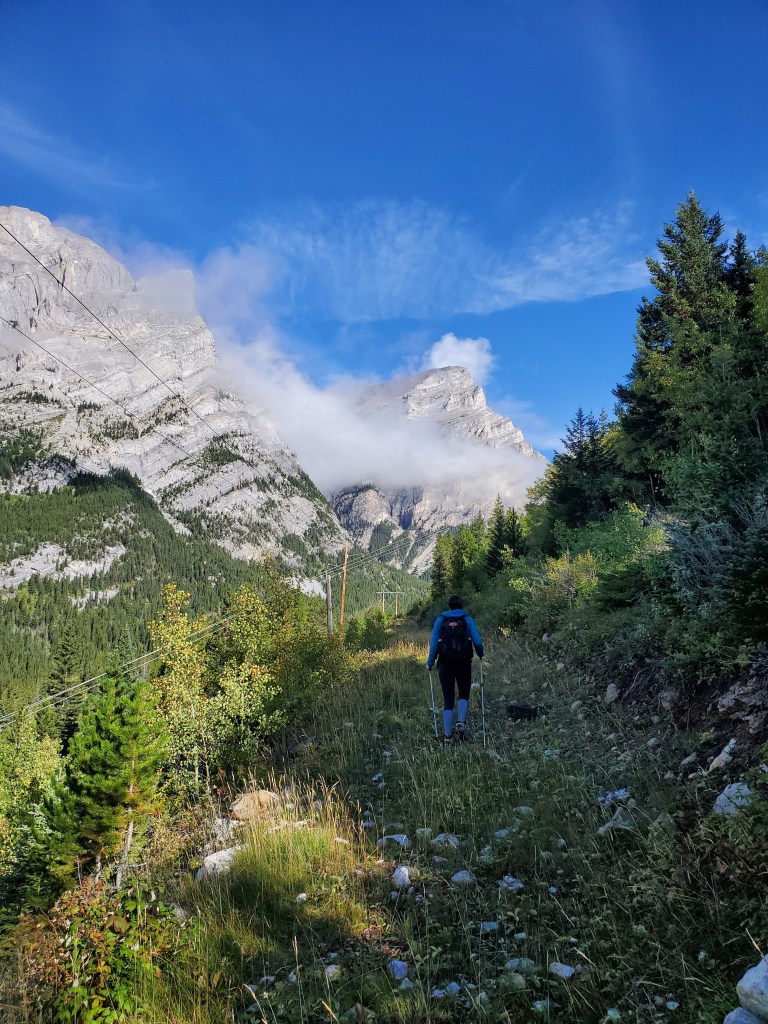
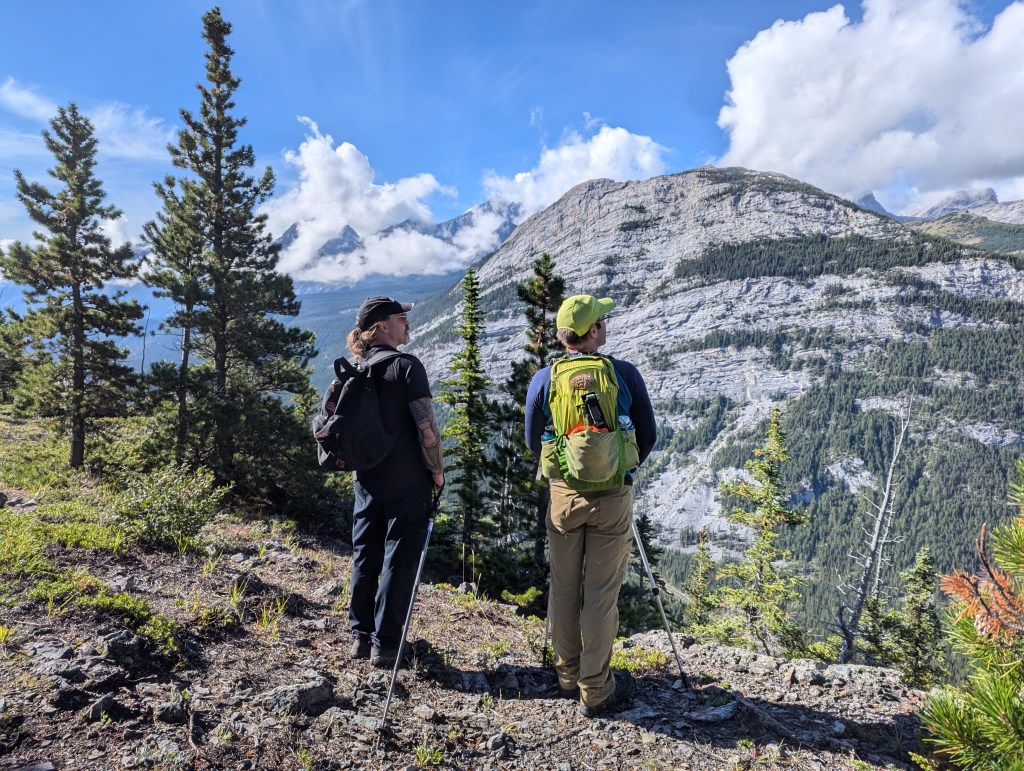
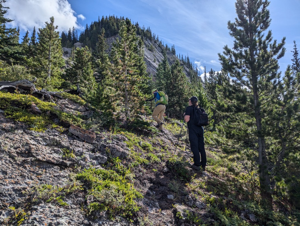
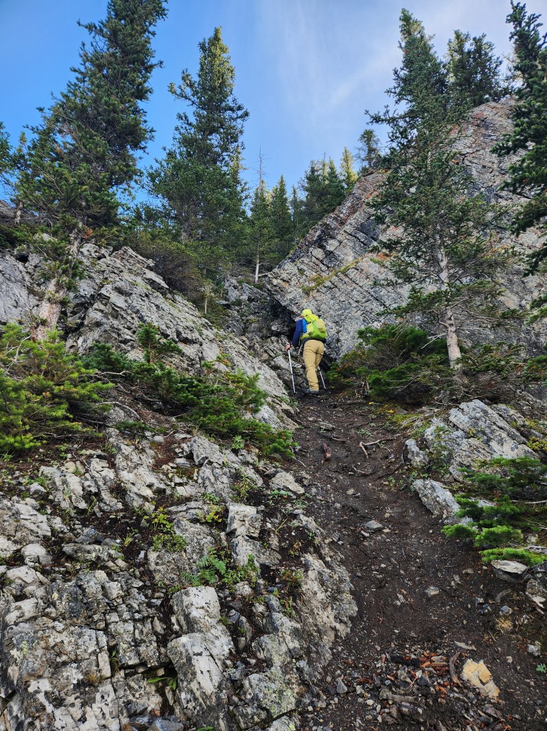
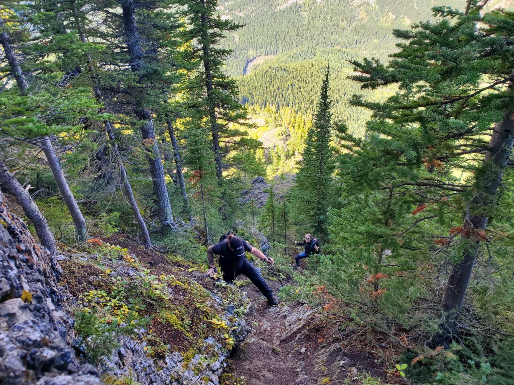
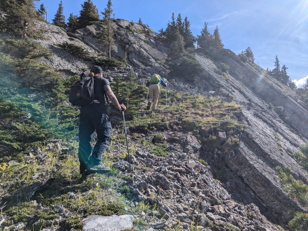
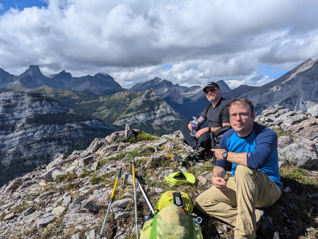
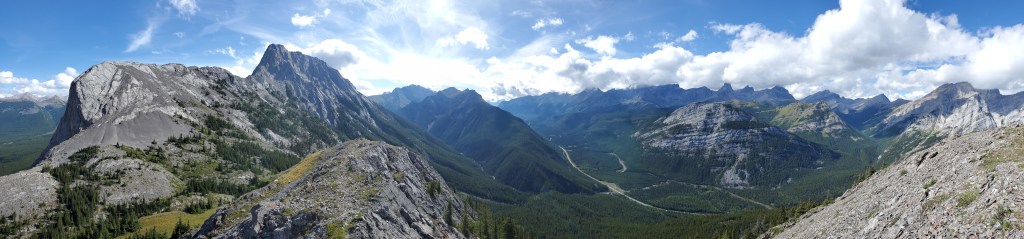
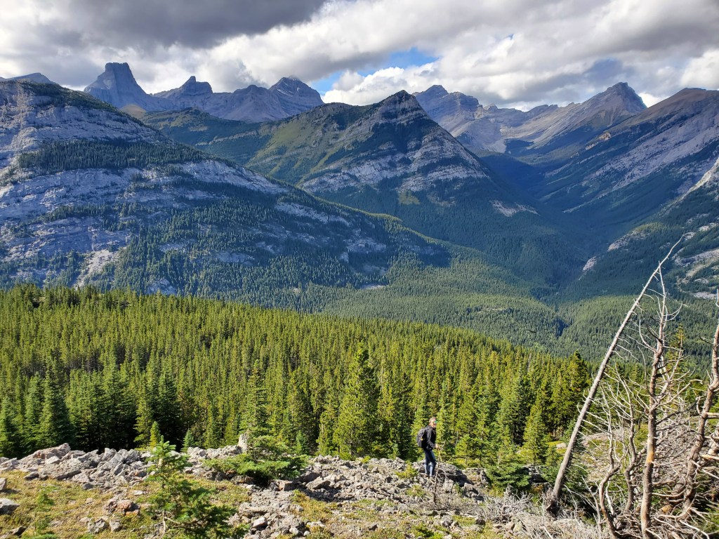
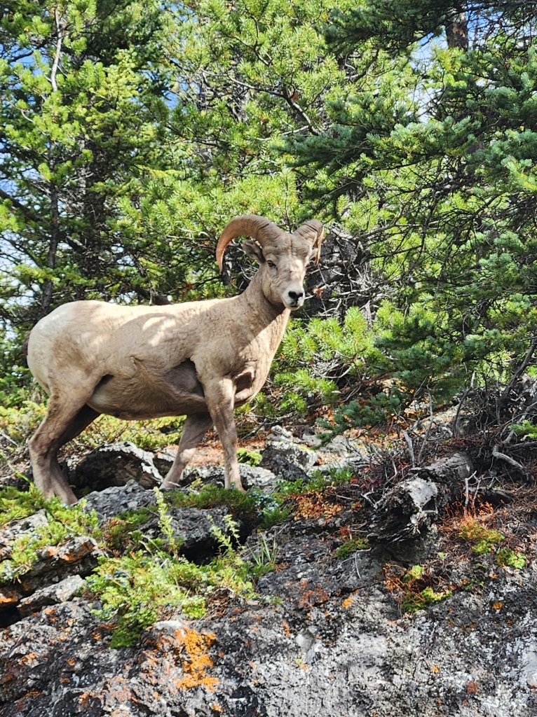
Looking at the slope of Limestone Mountain from the Galatea Creek parking lot. We will head directly for the powerline, follow it left for a span, and then turn up the slope, following the powerline to the crest of the ridge.A distribution line and transmission line run in parallel, above which is a rough maintenance access road (pictured). Just ahead the distribution line crosses under the transmission line and heads up the slope to our right. We will follow a game trail up this distribution line to easily gain the ridge.Near the crest of the ridge we spotted an obvious game trail running along the ridge and followed it. The trail generally kept to the south edge of the ridge (climber’s right) and was mostly hiking with a few slabby sections to add interest.There are plenty of open spots along the trail to take in the views. This shot is looking back at Mount Kidd.Gazing out at Spoon Needle. We used these breaks in the trees to gauge our position relative to the peak, taking care not to miss our turn. GPS mapping was also useful for confirming our position.We turned left into the trees at about 1.3 km. There was about 200 m of bushwhacking (with very faint trails only) before getting back to a trail along the ridge (pictured). The slab ahead looks impassible from here, but an easy route appears once close up.A gap in the corner between the slab sections offers passage up the ridge.A few of the steeper sections of trail were slick from recent rain, adding a little extra challenge to our day. But, travel was never beyond easy scrambling.Typical travel, continuing along the ridge. At any slab sections we encountered that started to feel a little exposed, we simply bypassed to the left.Reaching the top of Limestone Mountain.Looking east at Limestone Ridge (left) and The Wedge (right).To the west are views of The Fortress, Gusty Peak, and Mount Galatea (Pictured at the left, listed left to right)Mount Kidd stands to the northwest. Summit panorama.We returned the way we came.Ahead is the 200 m or so of bushwhacking to return to the game trail from earlier in the day.Back on the game trail where, naturally, I was singing about Sheep and Goats, we were approached by this ram. He looked agitated and took a few stern steps towards the guys. It turns out they can move faster than they were letting on! Satisfied with himself, the ram continued on along the trail.
We made it back to the parking lot in 4 hrs 20 min. We took time to pause for a picnic and still made it back to Edmonton before dark. Limestone Mountain is a fun little day trip for a party with solid navigation skills. I can see where it would be easy to keep following game trails the wrong way, missing the left turn. For this reason, I wouldn’t tend to recommend this route for beginners. Otherwise, the route isn’t very physically demanding, doesn’t have much loose rock, and provides some great views.