Victoria Day long weekend has a reputation in Alberta as the last snow of winter. With this in mind, I held off on planting my garden and went camping instead! Our tent was warm enough (ish) and we managed to find a few fun objectives to tackle.
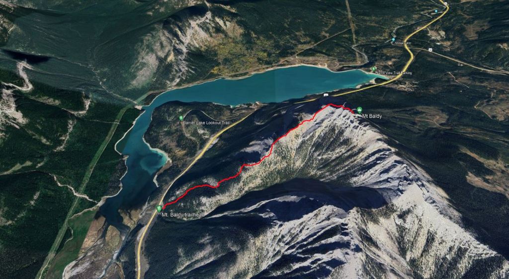
Mount Baldy is an extremely popular peak and we had a feeling others would break trail for us. Our suspicions were confirmed when we arrived at the pull-out, already half full. We started our hike with a scenic detour to the climbing crag. After 20 min of hiking we arrived at bolted sports climbs – evidently not the right trail. We back-tracked and made our way to the correct trail. If looking for this crag in climbing books, it will most likely be listed as Barrier Mountain.
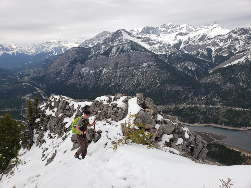
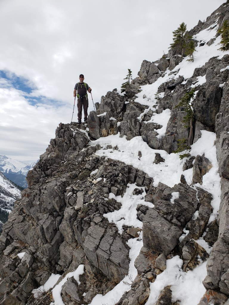
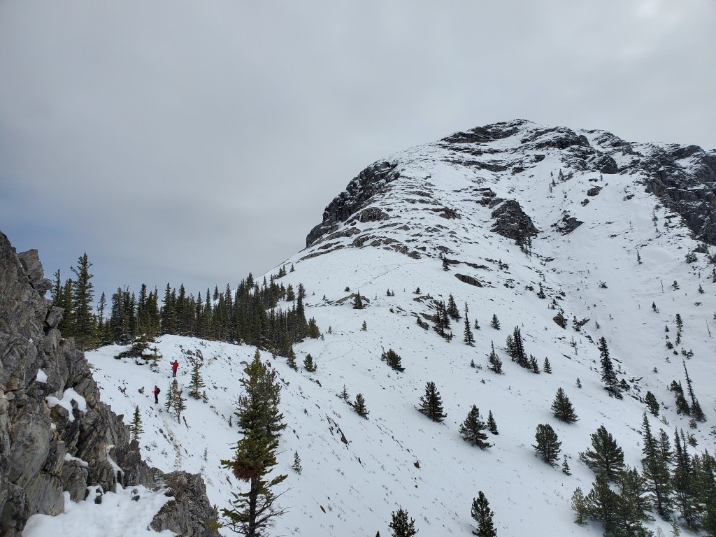
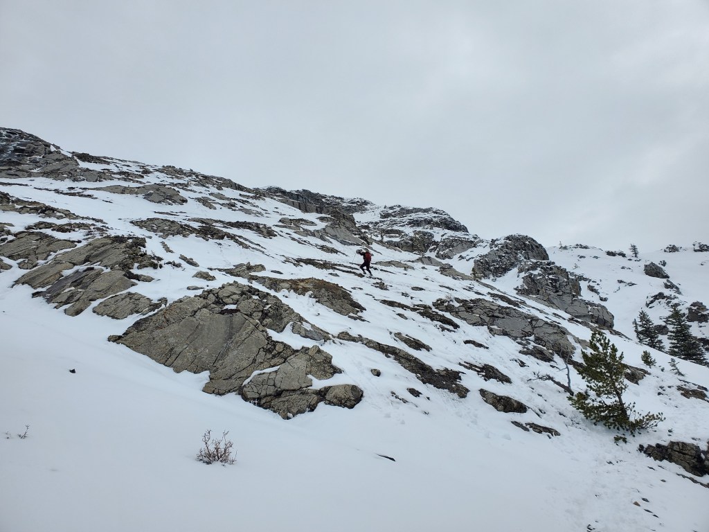
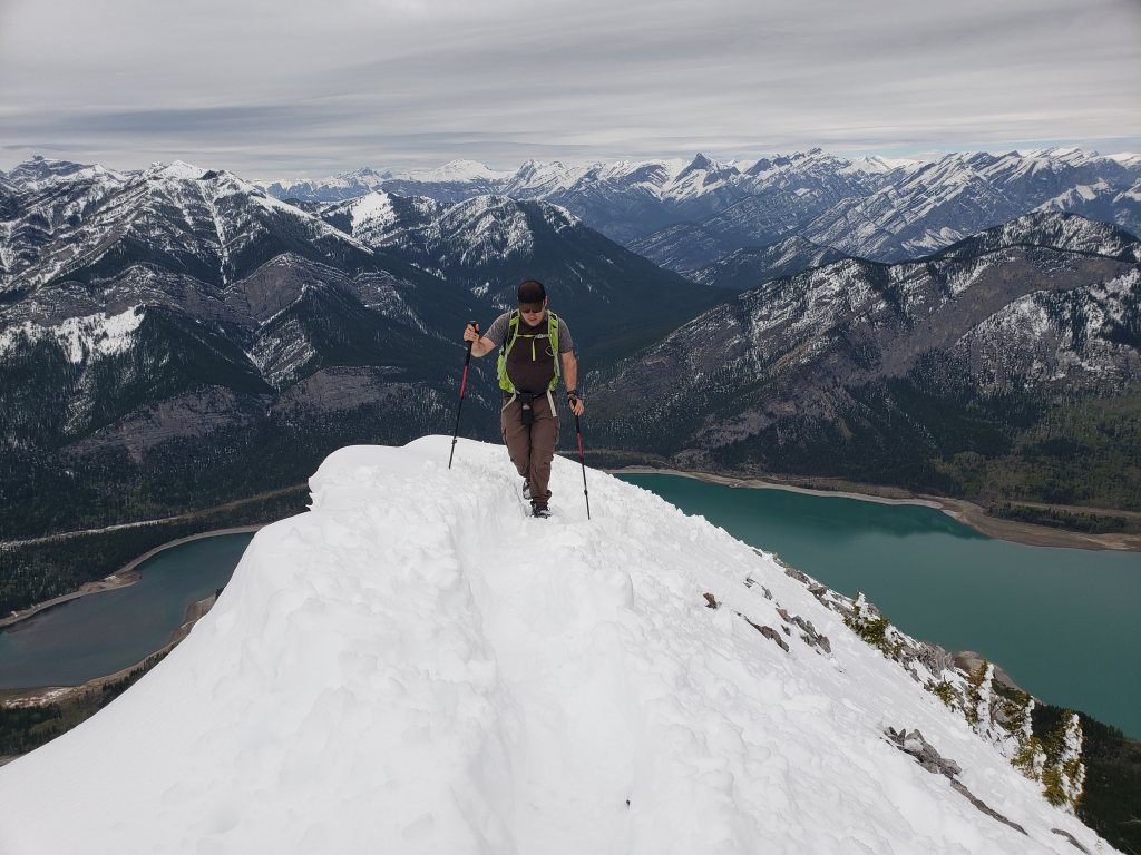
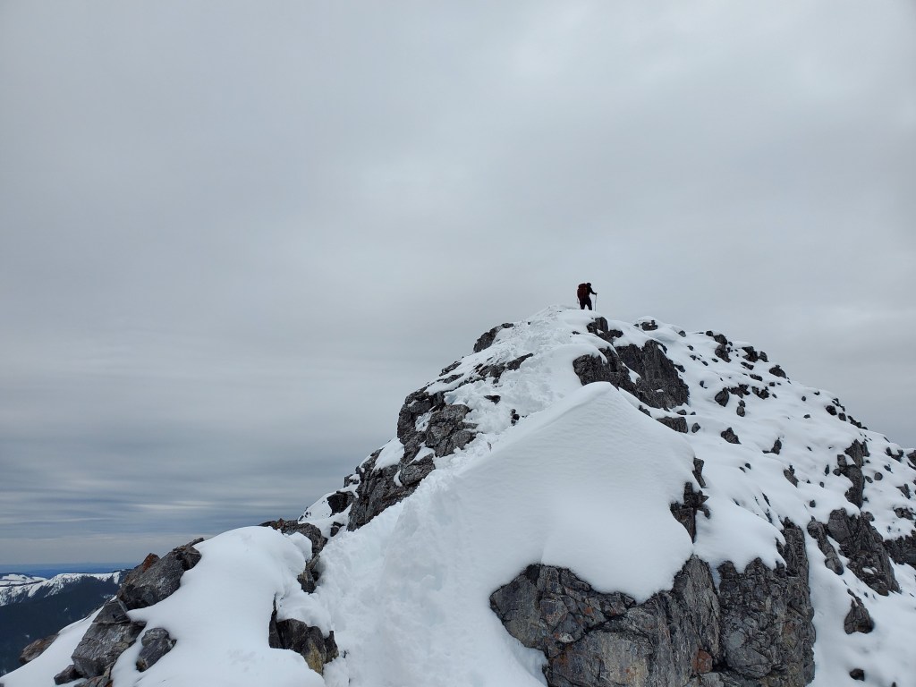
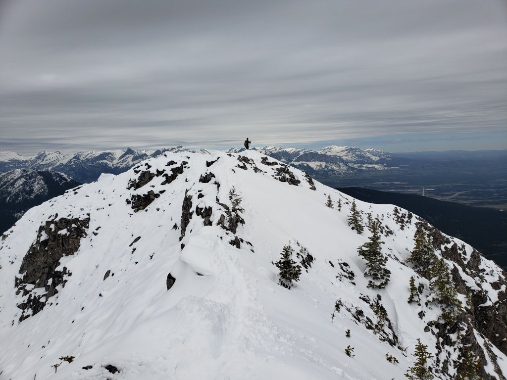
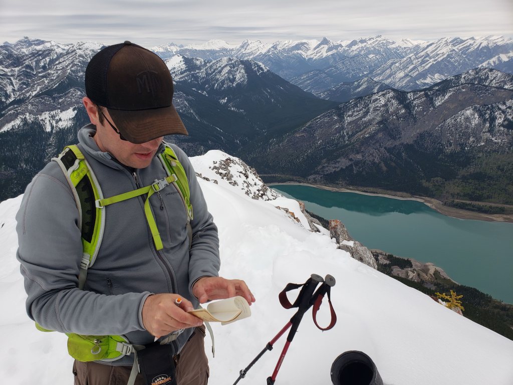
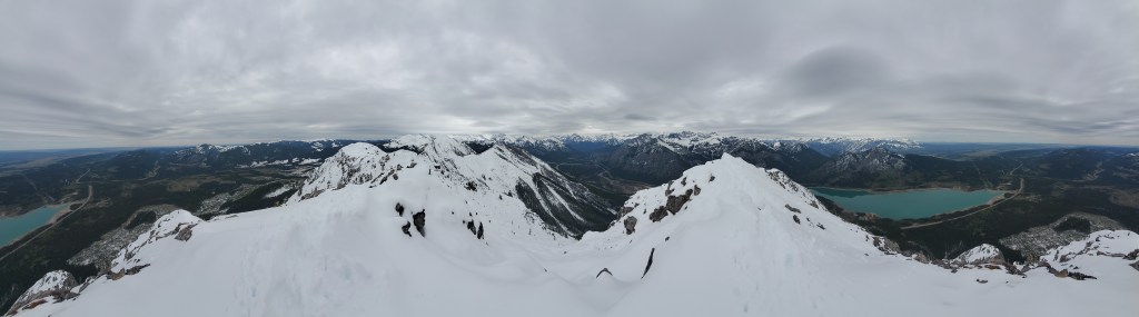
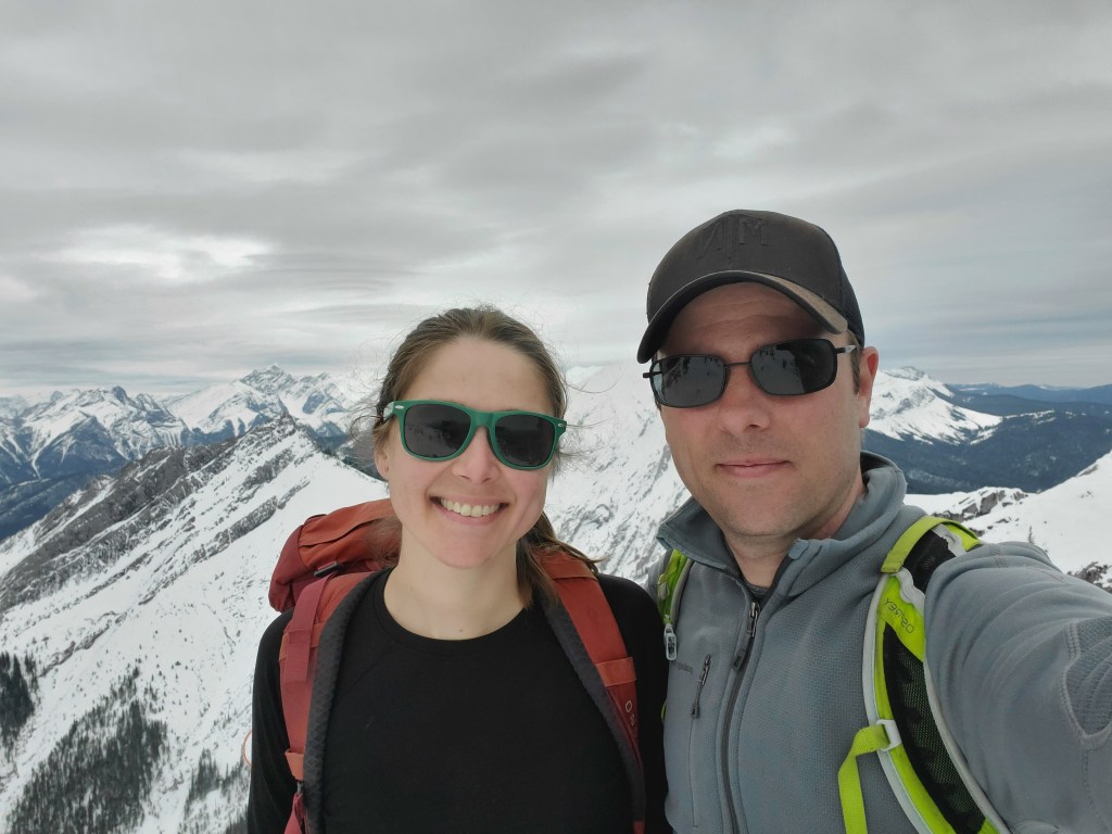
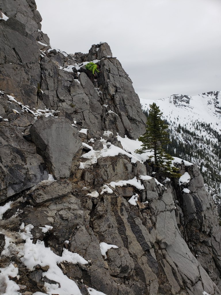
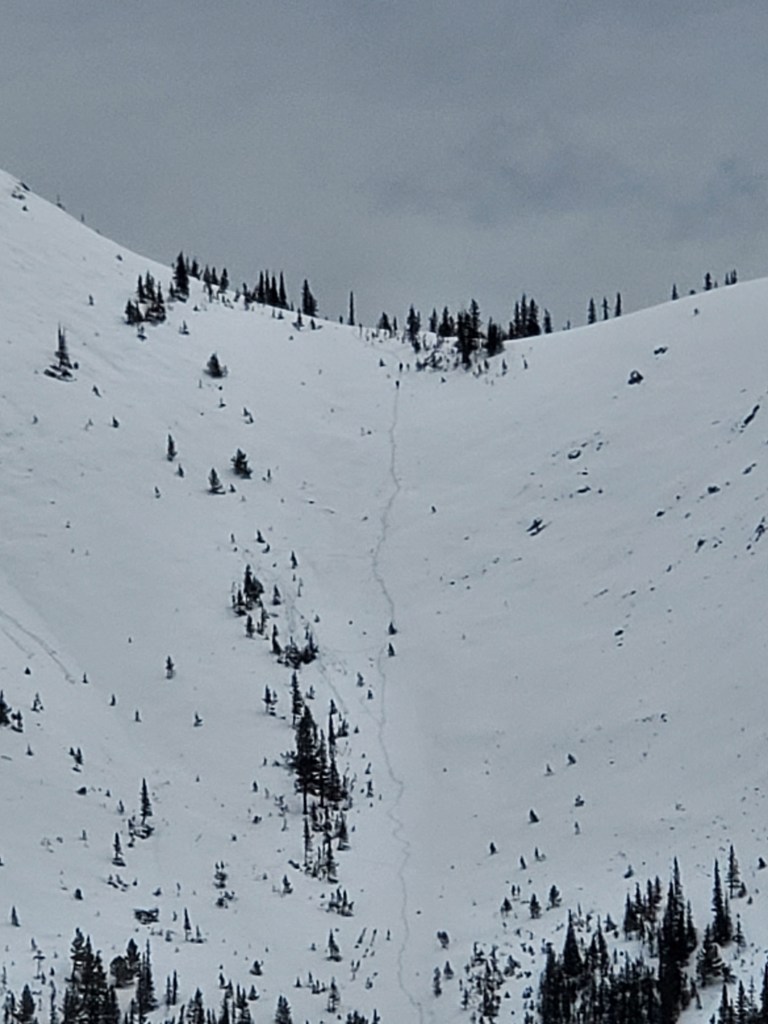
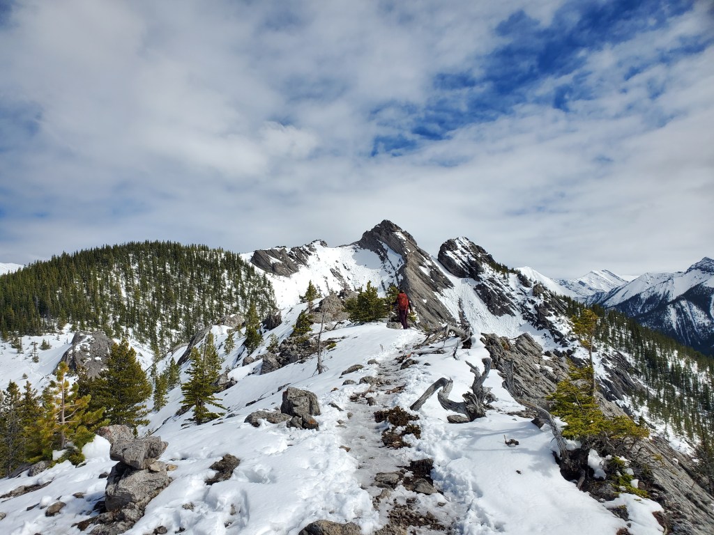
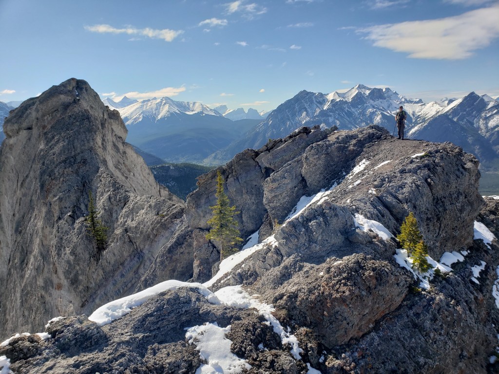
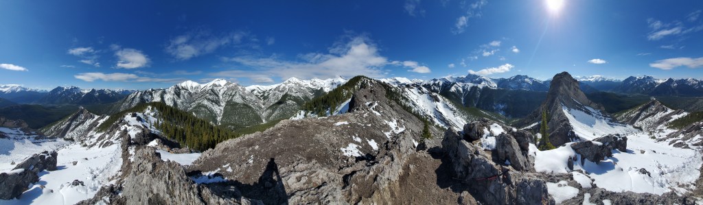
The route ascends the west ridge. The hiking will eventually turn into moderate scrambling further up. Mary Barclay’s Mountain can be seen behind Barrier Lake.Looking back as Dan begins a short moderate section of downclimbing. Our trail crampons helped immensely in the snow, but full crampons with front points would probably have been more helpful for “dry-tooling” this section.Footprints can be seen leading to the face of the summit. We’ll aim to minimize exposure to overhead terrain by keeping more to the left side.The snow accumulated on/above this slope was very thin, but we will still be aiming to be off of this slope before solar warming in the afternoon.Reaching the summit ridge. In the background Twin Towers (left) and Mount Yates (right) stand above Barrier Lake.Continuing on along the ridge, carefully probing our way through the snow. Looking back from the peak as Dan follows along the summit ridge.It’s surprising to find a usable summit register on such a popular peak!Summit panorama.Victory selfie at the peak. Next, we’ll be returning the way we came. We had watched others complete the loop by continuing along the ridge to the southeast, then descending into the bowl of Mount Baldy. But, we didn’t like the angle of that slope in today’s snow, so we chose to stick to the ridge.Passing a traverse section on the way back. A small, snowy cairn marks the top.We did not take this route down. Others can be seen completing the loop and heading into the bowl. The day was warming quickly and loose, wet avalanches can be seen starting to form at the left side of this photo.
We made it back to our vehicle in 4 hrs 20 min total, with 20 min of that being a detour to the crag. We had plenty of daylight left and decided to check out an easy ridge hike nearby.
Appendix
We had time and energy left after Mount Baldy and decided to add a quick lap of nearby Porcupine Ridge. A pair we’d chatted with on a previous trip recommended it. It’s not the most lofty summit, but the terrain is certainly unique! Our round trip time was 4 hrs.