Notes: Roughly half hiking / half snowshoeing. The book description leads as far as Thurston only.
Trip Report
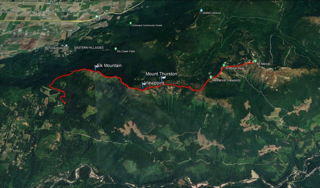
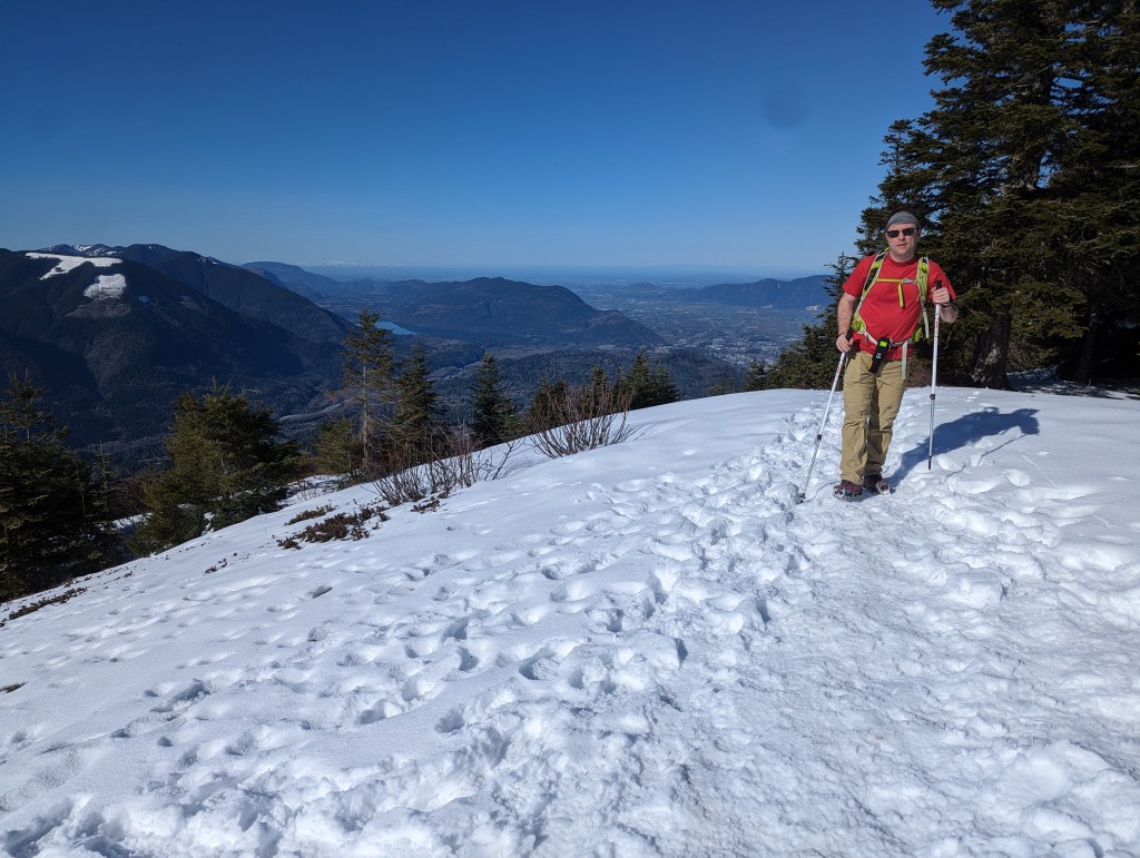
Elk Mountain is a popular hike in Chilliwack that offers excellent panoramic views of the municipality, including a few of my old haunts. I took Dan for a local tour while visiting family. We brought our snowshoes with us up Elk Mountain and explored along the ridge for as long as daylight allowed.
The trailhead starts behind the Ryder Lake area. Most people park at the conventional trailhead, which has parking for a dozen vehicles, an outhouse, and signage for the trail. A service road exists that crosses the trail about 20 min up from the trailhead, but there is very little parking there.
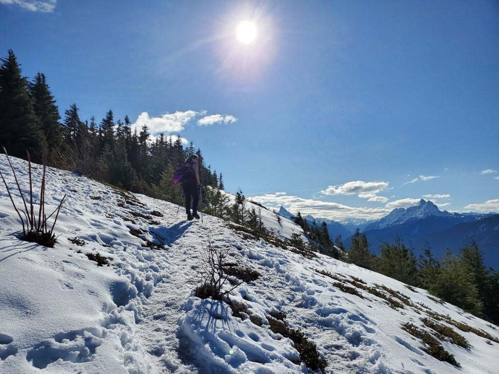
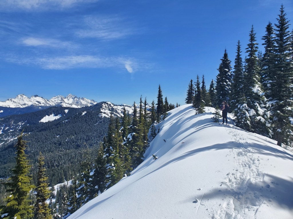
The final portion of the ridge to Mercer held enough snow to consider for avalanche/sloughing hazard. Our route followed the crest of the ridge, but we still chose to spread ourselves out for two steeper sections. Avalanche Skills training is an asset if hiking in Winter.
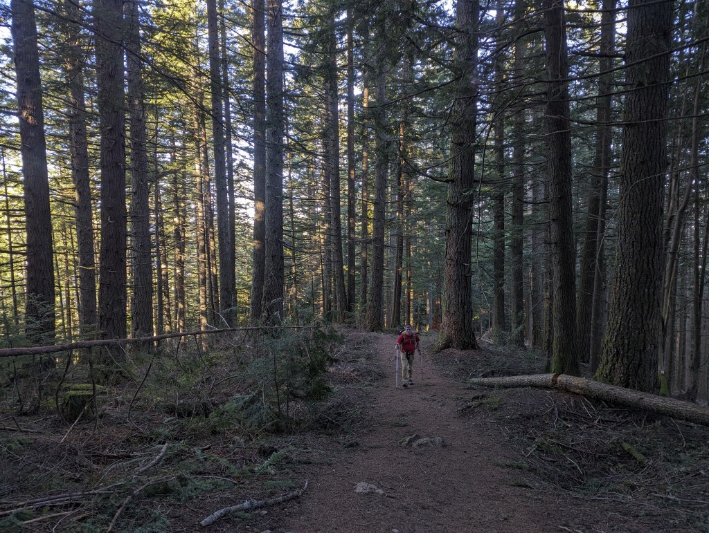
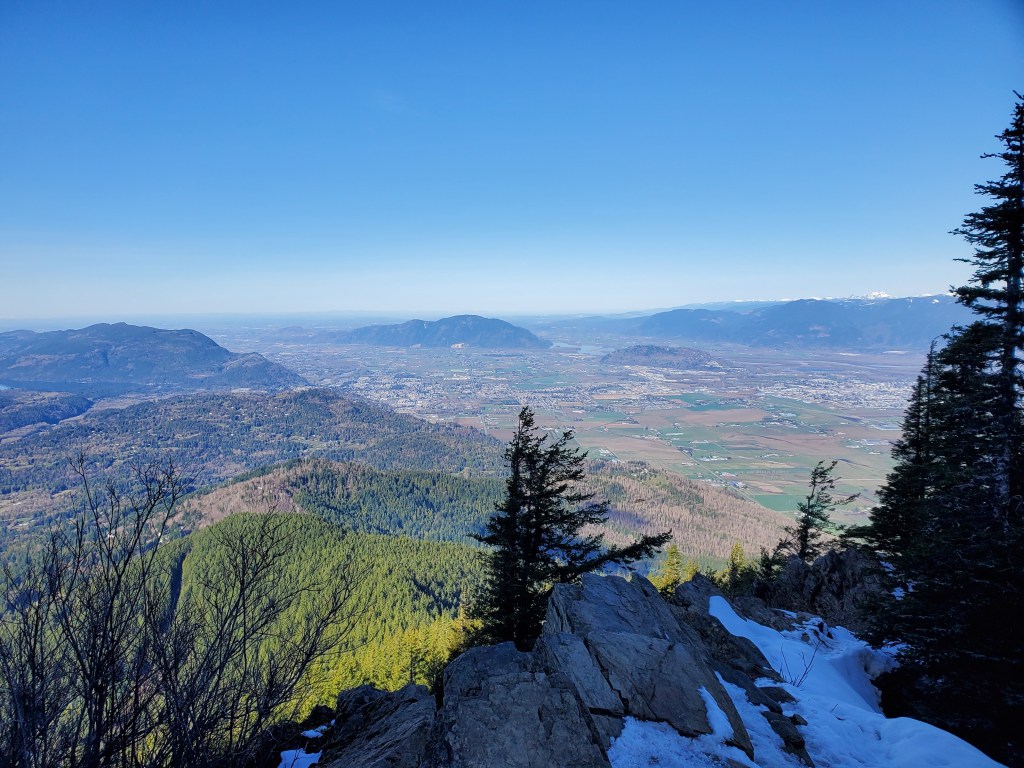
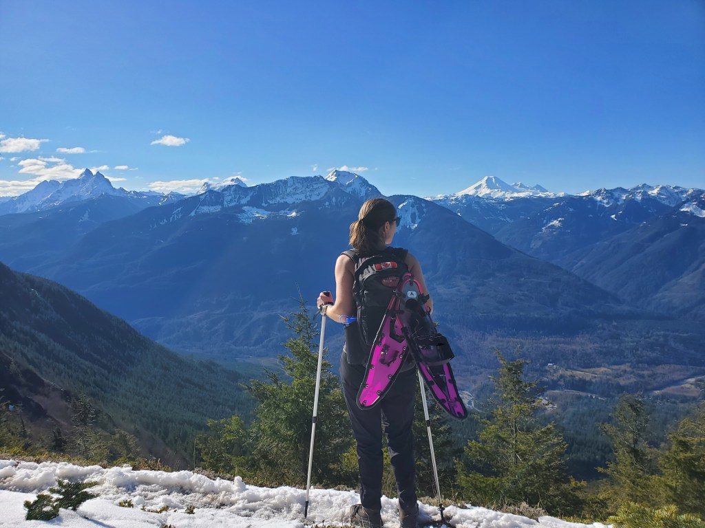
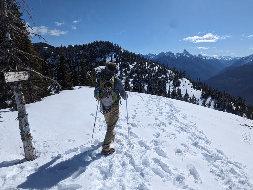
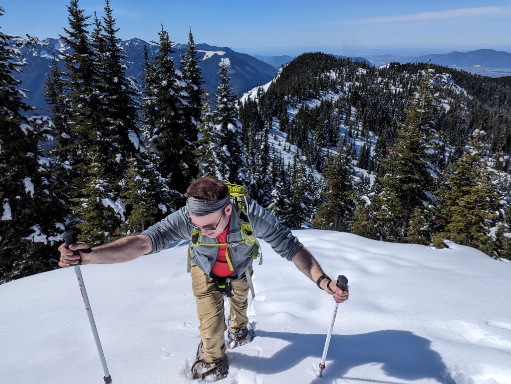
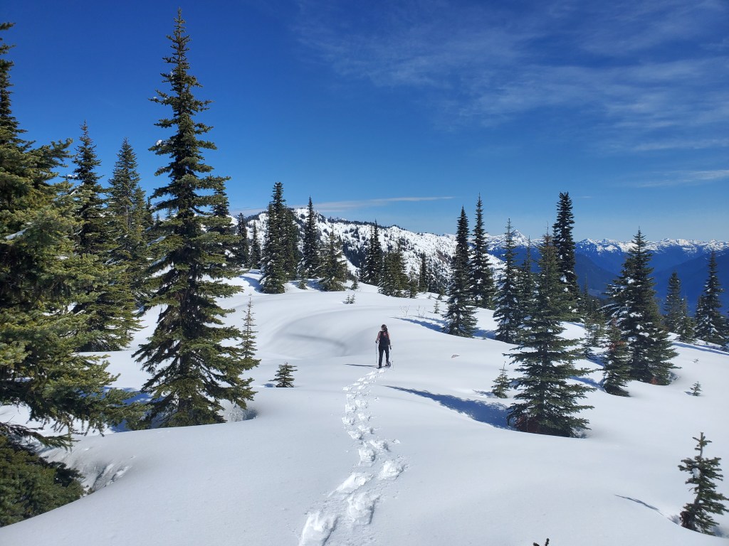
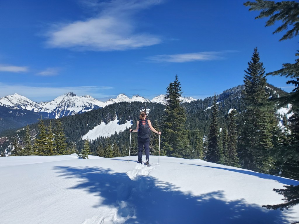
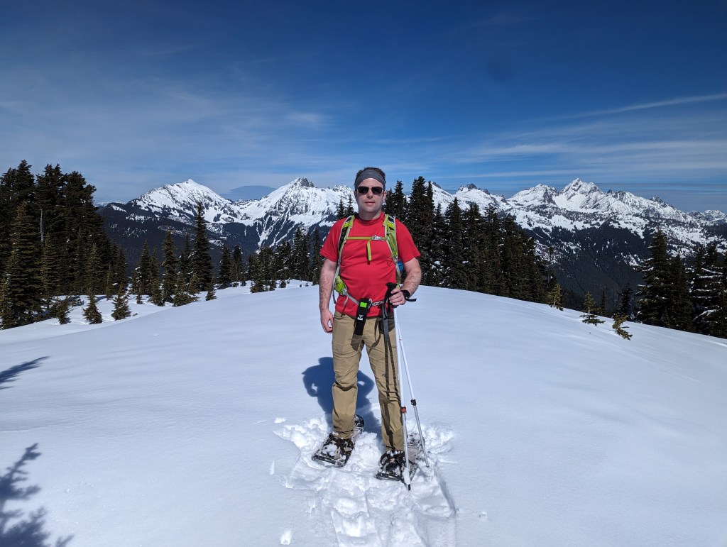
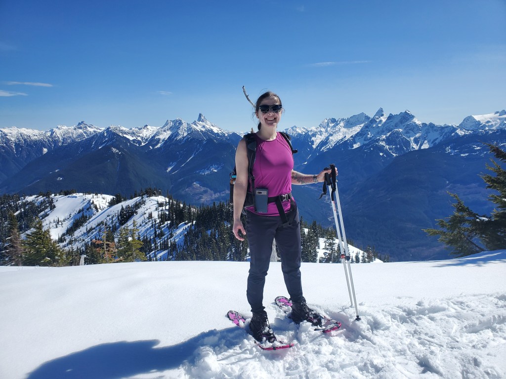
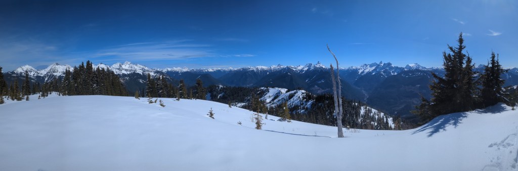
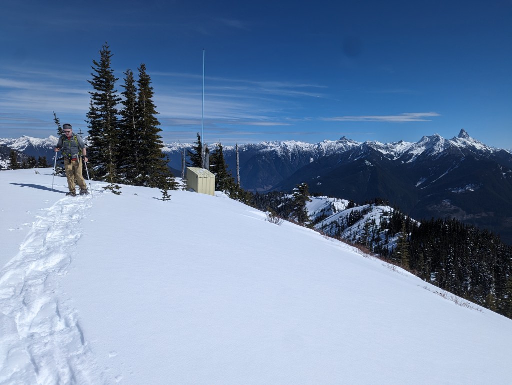
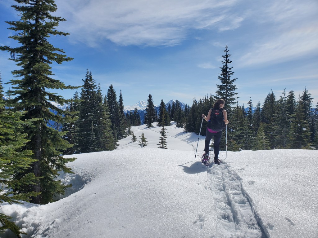
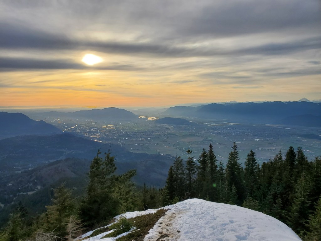
The trail up Elk Mountain is wide and well-graded. The last part before the top gets steep and icy, but there are stairs cut into the slope.A viewpoint at the top of the stairs provides the first views over Chilliwack and its gentle mountains. The small mound right of center is Chilliwack Mountain and the mound at center is Sumas Mountain (Abbotsford). Vedder Mountain stands above Cultus Lake at the left.Continuing toward the top of Elk Mountain, the two pointed peaks at the right are American Border Peak and Canadian Border Peak. Well-known Mount Slesse begins to sneak into view to my right, but we’ll have better views shortly.Looking back again at Cultus Lake. Liumchen Ecological Reserve is to the left, above the Chilliwack River.Gazing south toward the border: American Border Peak & Canadian Border Peak (left), Mount McGuire (center) and the huge, glaciated volcano that is Mount Baker (right of center).Continuing along the ridge. Trail was broken as far as the viewpoint before Mount Thurston, but the densely-treed summit itself doesn’t seem to attract a lot of traffic. One person had post-holed their way to Mount Thurston ahead of us, but we put on our snowshoes here.Continuing along the ridge on snowshoes, looking back at the viewpoint where we’d just been.Just beyond the treed summit of Mount Thurston, the ridge opens up to the north offering our first views of the Cheam Range to the northeast (left). Flagging tape led us through the treed portion of the ridge ahead. The flagging tape ended as the trees opened up, but the way was relatively obvious from there. We continued following the crest of the ridge, avoiding the more wind-loaded and sun-affected slopes.Passing over Widow’s Peak, with views of the full Cheam Range in the distance. To the right, Mount Mercer comes into view.After passing over Widow’s Peak, we arrived at Mount Mercer. Mount Cheam and Lady Peak are to the left of Dan. To the right are Knight Peak, Baby Munday, The Still, Welch Peak (tallest), and Foley Peak.To the south, I am framed by two fang-shaped peaks: Mount Slesse (left) and American Border Peak (right). It should come as no surprise that Slesse means “fang” in the language of the local Stó:lō communities.Summit panorama.We returned the way we came. This photo is looking back at a small communications shed at the summit.Snowshoeing back along the ridge, with Mount Baker on the distant horizon.One last glimpse over Chilliwack at sunset. The Fraser River can be seen winding its way behind Chilliwack Mountain and then Sumas Mountain. The distant glimmer of the Straight of Georgia is just visible on the horizon.
We made it back to the parking lot in 11 1/2 hours, feeling both exhausted and fulfilled. The views of the Cheam Range and Mount Slesse from Mount Mercer make it worth adding the extra distance, but it’s easy to forget how much work breaking trail on snowshoes is! I’m glad we made a day to tackle this relatively tame objective. The views make it worthy of a day out.